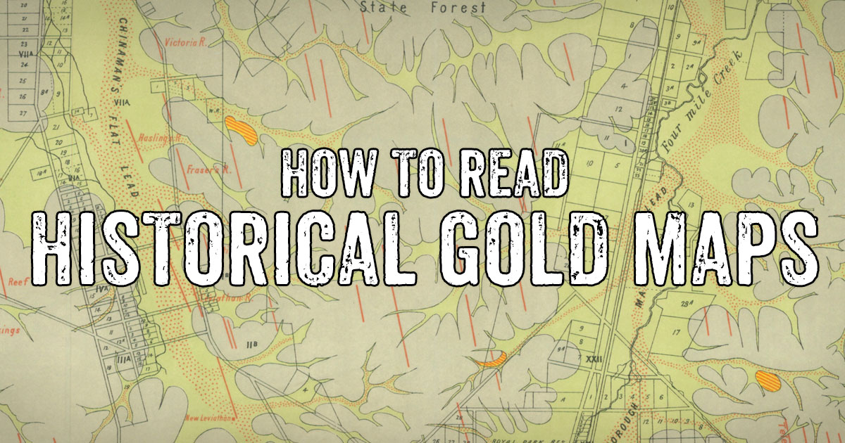
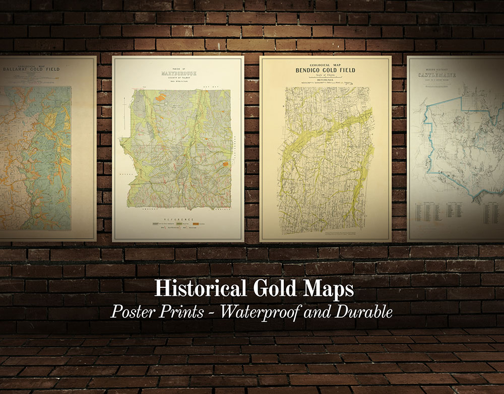
We've gathered a huge collection of historical goldfields maps into one big directory, all free to view online.
This huge list of maps links to historical maps for various towns and regions throughout the Victorian Goldfields.
These maps have been selected because they display useful information regarding the location of reefs, leads, diggings, mining operations, and geological features.
If you're just starting out prospecting and/or seeing some of the terms used on the maps for the first time, things can get a little confusing.
We've put together a quick guide to what some of these terms mean.
Pliocene, silurian, ordovician, palaeozoic etc
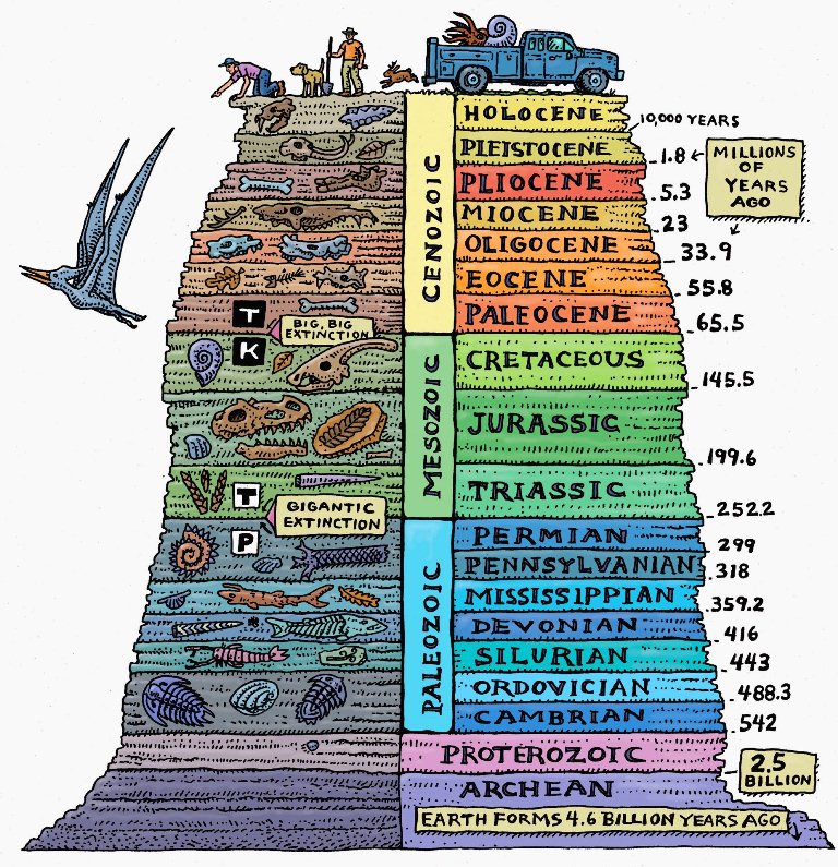
Image source: www.geologyin.com
These are probably the most immediately confusing terms on historical gold maps.
Don't let this put you off! These terms are simply referring to the age of the ground in question, using the geological time scale.
If you're interested, you can learn more about geological time periods here.
Reefs
A reef is a vein of quartz in the ground, often gold-bearing.
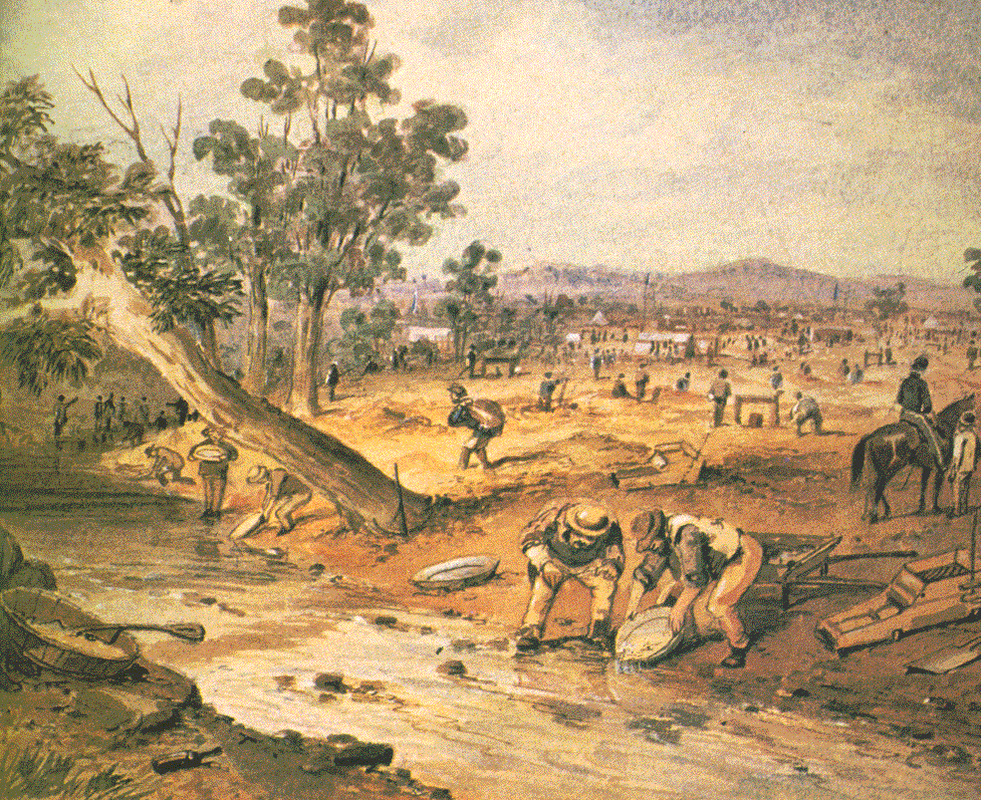
Gold from reefs in the Victorian Goldfields can either be mined directly from the reef (by crushing the quartz and processing for gold) or from nearby areas where the gold has been washed away from the reef over time (this is called alluvial mining).
Modern day gold prospectors are usually after this alluvial gold, which can be found in the ground or trapped in creek beds.
Tools for extracting alluvial gold from the ground include gold detectors, gold pans, and gold sluices.
Quartz outcrops
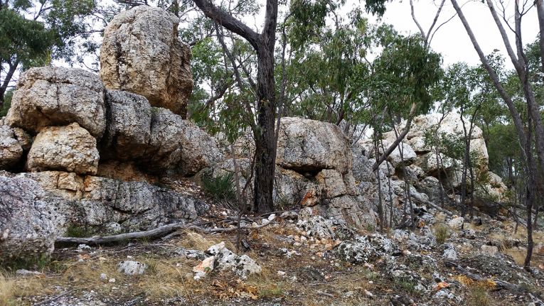
Exposed quartz outcrop at Quartz Mountain Geological Reserve, Lillicur VIC
Reefs can be located deep underground, but a quartz outcrop refers to a reef which is exposed at the surface.
These can also be marked on the maps as a 'quartz blow' or simply 'blow'.
The image above shows a massive quartz outcrop in Lillicur, which contained so little gold that the old time miners left it for us to see today (please note that prospecting is not permitted at the Quartz Mountain Geological Reserve).
Many exposed quartz reefs have been extensively mined in the past (like at Dunn's Reef in Muckleford), and while you won't find another one as big as Quartz Mountain, you'll still come across plenty of smaller ones out the bush.
Leads

Gold which has broken away from its original reef gets washed away and is often deposited into creeks and rivers.
Many ancient gold-bearing creeks and rivers have been covered over by geological changes such as lava flow.
An ancient gold-bearing river bed, buried beneath the ground, is called a lead.
Alluvial gold workings / diggings
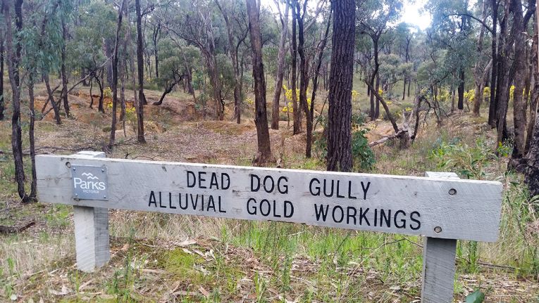
Old alluvial workings in Spring Gully (Bendigo), VIC
Diggings, gold workings, alluvial diggings, alluvial workings, etc, all refer to areas where alluvial mining has occurred.
This includes surfacing, creek workings, sinking shallow shafts to reach buried leads, gold puddling sites, etc.
Alluvial gold diggings
Shafts
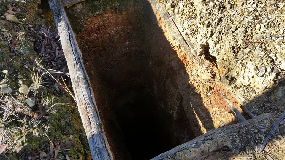
Open mine shaft in Moliagul VIC
Shafts are vertical entrances to underground gold mines.
Many of these are still open today, be wary of the dangers of mine shafts while gold prospecting in the Victorian Goldfields.
Anticline and syncline
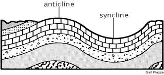
These terms are describing arch-like folds in the rock layers.
A syncline is a fold where the youngest rocks occur in the core of the fold.
In an anticline, it is the oldest rocks which occur in the core.
Mindat.org provides the following concise definition of a saddle reef, in relation to an anticlinal fold:
"A saddle reef is a mineral deposit associated with the crest of an anticlinal fold and following the bedding planes, usually found in vertical succession, esp. the gold-bearing quartz veins of Australia".
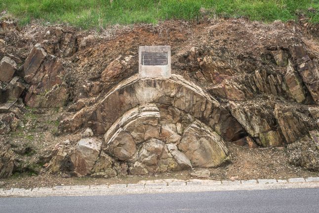
Exposed anticlinal fold, Castlemaine VIC
I hope this quick guide to some of the terms found on historical goldfields maps will be handy for people who are just starting out gold prospecting and/or have never come across these terms before.
More resources
We have lots of other great resources for gold prospectors on Goldfields Guide, check a few out here:
- Historical gold maps of the Victorian Goldfields
- Historical goldfields maps, high quality prints
- Ballarat gold prospecting guide
- Castlemaine gold prospecting guide
- Maryborough gold prospecting guide
- Dunolly and Moliagul gold prospecting guide
- Inglewood and Wedderburn gold prospecting guide
- General guide to gold prospecting in the Victorian Goldfields
- Where to look for gold in Victoria's Golden Triangle
- Places to prospect in the Victorian Goldfields
- Interactive map showing lots of places to prospect in the Victorian Goldfields
- Gold-bearing creeks and rivers in Victoria
- Gold prospecting maps for Victoria's State and National Parks
- Researching gold prospecting and history - online resources
- Surfacing in the Victorian Goldfields
- Gold shops, detector hire and gold tours in the Victorian Goldfields
- YouTube channels from the Victorian Goldfields
- Dangers of mine shafts in the Victorian Goldfields
PROSPECTORS AND MINERS ASSOCIATION VICTORIA
Established in 1980, the Prospectors and Miners Association of Victoria is a voluntary body created to protect the rights and opportunities of those who wish to prospect, fossick or mine in the State of Victoria, Australia.
You can support the PMAV in their fight to uphold these rights by becoming a member. You'll also gain access to exclusive publications, field days, prospecting tips, discounts and competitions.
Check out the PMAV website for more information.