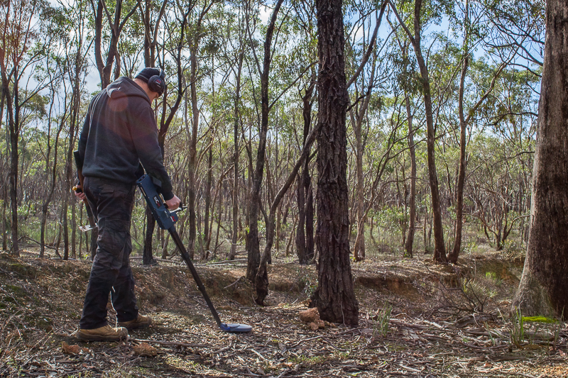
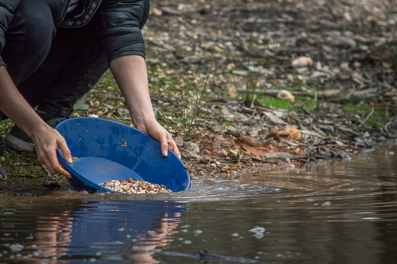
If you are looking for places in Victoria's Golden Triangle to find gold, this list provides some popular areas to get you started where gold detecting, panning or sluicing is permitted and gold is still being found regularly.
Each location also includes a collection of helpful resources for the area such as historical goldfields maps, newspaper archives, creeks and dams in the area, forum posts, YouTube videos, campgrounds, and more.
This list will be added to regularly, follow the Goldfields Guide Facebook page for updates.
CENTRAL GOLDFIELDS SHIRE
CRAIGIE STATE FOREST
Nearby towns
- Maryborough
- Carisbrook
Campgrounds
Water
- Mostly dry gullies which get some water during winter
- Lots of small mining dams
Historical goldfields maps
- Parish of Maryborough, County of Talbot, 19xx. Shows reefs, alluvial leads, dykes, dip of silurian rocks, reef rocks, slates, sandstones, alluvial flats, cement beds. Craigie State Forest is in the bottom right area of the map.
- Mining district of Maryborough, Mining Dept 1861. Extends to surrounding towns such as Clunes, Dunolly, Tarnagulla, Avoca and Redbank. Craigie State Forest is in the area below and to the right of Maryborough.
- Geological Survey of Victoria, 1913. Parts of Parishes of Rathscar, Wareek, Maryborough, Bet Bet and Bung Bong. Craigie State Forest is in the bottom right area of the map.
Digitised newspaper archives (Trove)
When browsing newspaper articles for the Maryborough district, keep an eye out for mentions of: Blackmans Lead, Mosquito Flat, Telegraph Reef, Flagstaff Gully. These are all located within the Craigie State Forest.
- Search results for "Blackmans Lead Maryborough"
- Search results for "Maryborough diggings"
Useful links
Forest information
- FFM Forest Notes Battery Dam and Craigie State Forest (includes a map of the area)
Location on Google Maps
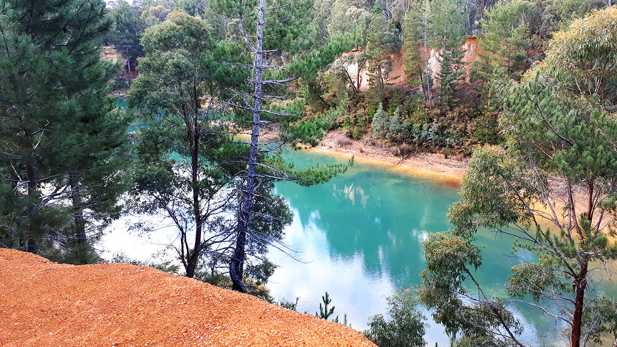
Places of interest within the Craigie State Forest
- Battery Dam and Distillery
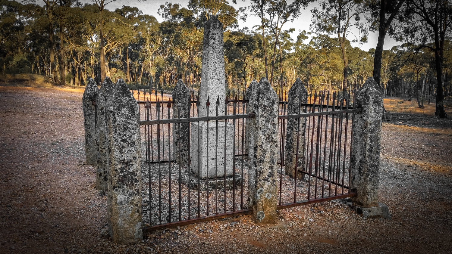
- 537 oz gold nugget discovery monument
- Blackmans Lead
- Cambrian Mine
- Miners Hut Ruins and Gold Diggings
Notes
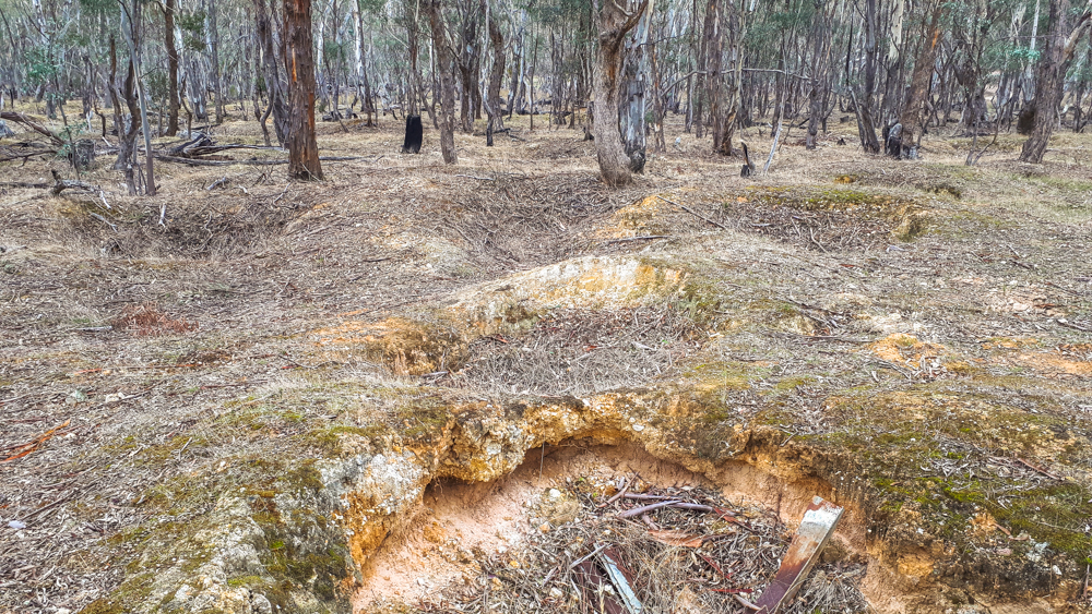
- Lots of surfacing around Blackmans Lead (
- Hills with exposed quartz reefs throughout the forest
- Areas of very shallow ground
Moliagul Historic RESERVE
Nearby towns
- Moliagul
- Dunolly
- Inglewood
Nearby accommodation
Campgrounds
- Burnt Creek runs through the reserve, but prospecting is not permitted within this creek (
- Mostly dry gullies which get some water during winter
- A couple of small mining dams
Forum Threads (Prospecting Australia Forum)
Historical gold maps
- Parish of Moliagul, geological survey. Surveyed 1899, re-issued by the Dept of Minerals and Energy in 1980. Shows leads, dykes, reefs, alluvials, newer pliocene, older pliocene, silurian and granite. Also shows a diagram of the section near Welcome Stranger nugget.
- Geological Survey of Victoria, parts of parishes of Bealiba, Moliagul, Tarnagulla, Waanyarra, Dunolly and Archdale, 1915. Shows anticlines, dips, strike, dykes, quartz reefs, auriferous reefs, indicator lines, outcrops of ironstone, nuggets, shafts and alluvial workings.
Digitised newspaper archives (Trove)
When browsing newspaper articles for the Moliagul district, keep an eye out for mentions of: Bulldog Reef, Stuart Reef, Queen Reef, Nuggety Reef, Robertson Reef, Mount Moliagul. These are all located within the Moliagul Historic Reserve. There are also lots of articles about the Welcome Stranger nugget which was discovered here.
- Search results for "Welcome Stranger"
- Search results for "Moliagul diggings"
- Search results for "Moliagul bulldog"
- Search results for "Moliagul rush"
YouTube
- Trev's Outback and Gold Adventures - Moliagul. Home of the largest gold nugget ever unearthed.
- Gold N Ghosts - Welcome Stranger gold with the Whites 24K.
Location on Google Maps
Places of interest within the Moliagul Historic Reserve
Notes
- Large areas of surfacing (
- World's largest alluvial gold nugget ever discovered was found here
- Lots of open deep mine shafts, be careful where you're walking
Talbot Nature Conservation Reserve
Nearby towns
- Talbot
- Maryborough
- Clunes
Campgrounds
- No campgrounds in this reserve
Water
- Mia Mia Creek (small, often dry), prospecting allowed.
Historical gold maps
- Clunes, Mt Greenock and Talbot gold fields, Mining Dept, 1883. Shows outcrops of quartz reefs, quartz reefs proved auriferous, strike and dip of rocks, points of volcanic eruption, gold workings, alluvial, post pliocene, newer volcanic, upper pliocene, lower pliocene, lower silurian, granite, and trappean. Top left corner of map 1 is the area of the Talbot Nature Conservation Reserve, Mia Mia Flat.
Digitised newspaper archives (Trove)
When browsing newspaper articles keep an eye out for mentions of Mia Mia Flat/Creek/Diggings. Try to confirm that this is the correct Mia Mia Flat through mentions of nearby Back Creek, Amherst, Talbot etc, as these were not the only diggings named Mia Mia.
- Search results for "Mia Mia Talbot". You will need to skip past lots of reports of murders, suicides, and assaults. This area has quite a
Location on Google Maps
- Talbot Nature Conservation Reserve location (signage at the reserve says "Lillicur Nature Conservation Reserve")
Reserve information
Hepburn Shire
Creswick Regional Park
Nearby towns
- Creswick
- Ballarat
Campgrounds
- Slaty Creek. Prospecting allowed, dries up during summer.
- Creswick Creek. Prospecting is not permitted within this creek (
- Gullies and small dams
Forum threads (Prospecting Australia Forum)
Historical goldfields maps
- Creswick gold field, Dept of Mines, 1880. Shows quarries, shafts, springs, rock specimens, points of eruptions, dips and strikes, quartz reefs, and auriferous leads. Detailed notes to the side of the map.
- Creswick gold field geological map, 1880. Shows quartz reefs, dips of strata, points of eruption, auriferous leads, porphyry, lower silurian, lower pliocene, middle pliocene, newer volcanic, upper pliocene, and post pliocene.
Digitised newspaper archives (Trove)
YouTube
- Gold Luck Victoria - Gold panning, highbanking, crevicing,
- Dunky and the Rav3n - Panning, sluicing, highbanking at Slaty Creek, Creswick Regional Park.
-
Golden Triangle Prospecting - Gold panning, gold cradle, highbanker sluice, crevicing, based around Creswick
-
Shane'Oz Gold - Gold prospecting in Victorian Goldfields, trommel and highbanker sluice operation. Has a couple of videos detecting around Creswick.
Park information
- Creswick Regional Park Visitors Guide (PDF download from www.creswick.net)
- Parks Victoria page for the Creswick Regional Park
Location on Google Maps
Places of interest within the Creswick Regional Park
Notes
- Areas immediately around campgrounds have been heavily prospected
MORE GOLD PROSPECTING RESOURCES
- Guide to gold prospecting in the Victorian Goldfields
-
- Interactive map showing lots of places to prospect in the Victorian Goldfields
- Gold-bearing creeks and rivers in Victoria
- Gold prospecting maps for Victoria's State and National Parks
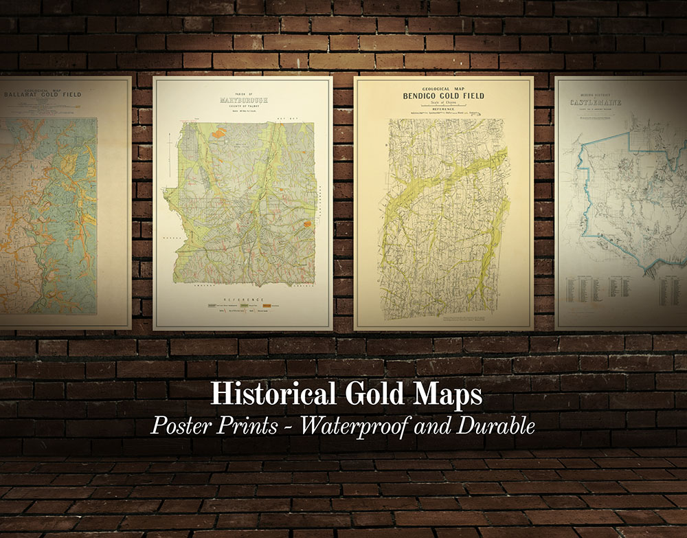
- Historical gold maps of the Victorian Goldfields
- Researching gold prospecting and history - online resources
- Surfacing in the Victorian Goldfields
- Gold shops, detector hire and gold tours in the Victorian Goldfields
- YouTube channels from the Victorian Goldfields
- Dangers of mine shafts in the Victorian Goldfields
PROSPECTORS AND MINERS ASSOCIATION VICTORIA

Established in 1980, the Prospectors and Miners Association of Victoria is a voluntary body created to protect the rights and opportunities of those who wish to prospect, fossick or mine in the State of Victoria, Australia.
You can support the PMAV in their fight to uphold these rights by becoming a member. You'll also gain access to exclusive publications, field days, prospecting tips, discounts and competitions.
Check out the PMAV website for more information.