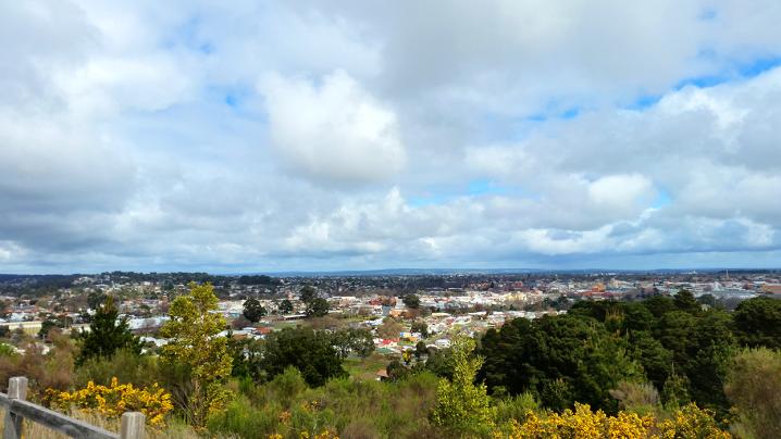
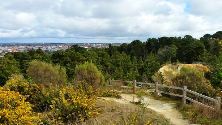
The Black Hill Reserve in Ballarat is an impressive patch of parkland just minutes from the CBD which offers amazing views over ballarat, remnants of open cut and shaft mining, incredible scenery, beautiful (but steep) walking tracks, picnic tables, and an excellent
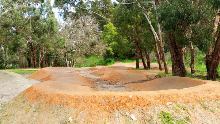
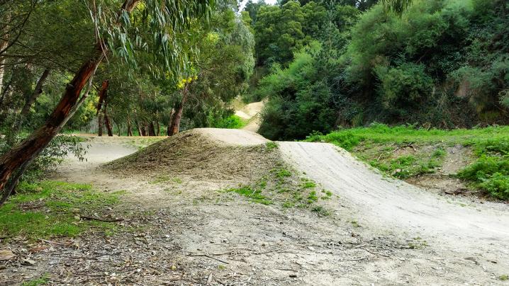
Mountain Bike Park.
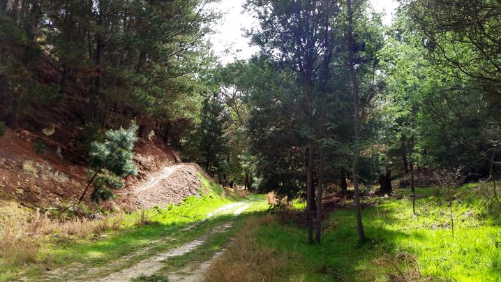
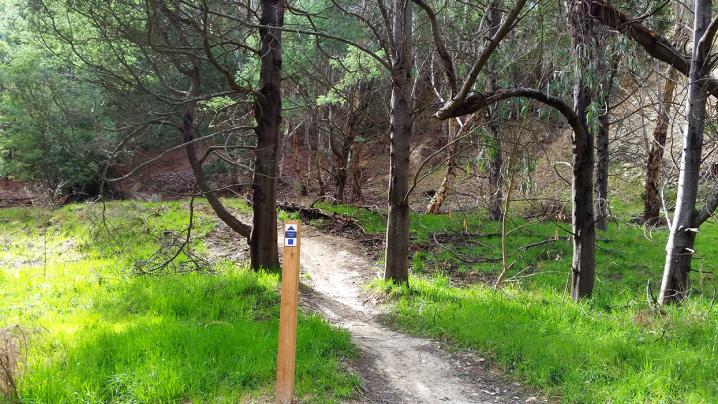
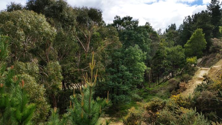
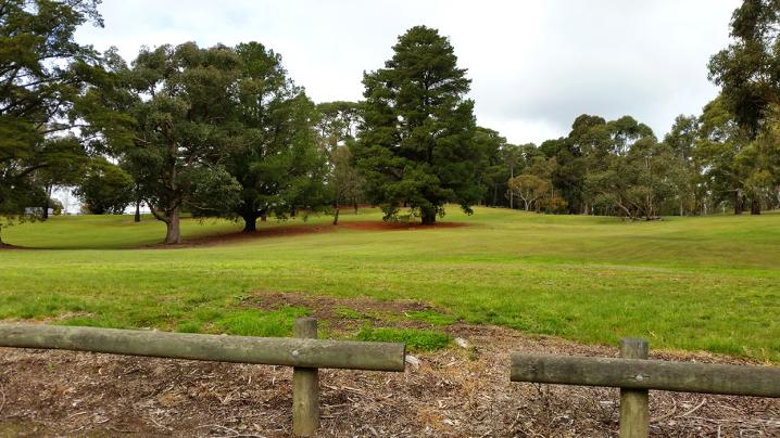
The park begins on Chisholm Street, where a beautiful sweeping lawn rises up the hill toward the lookout.
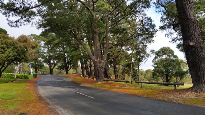
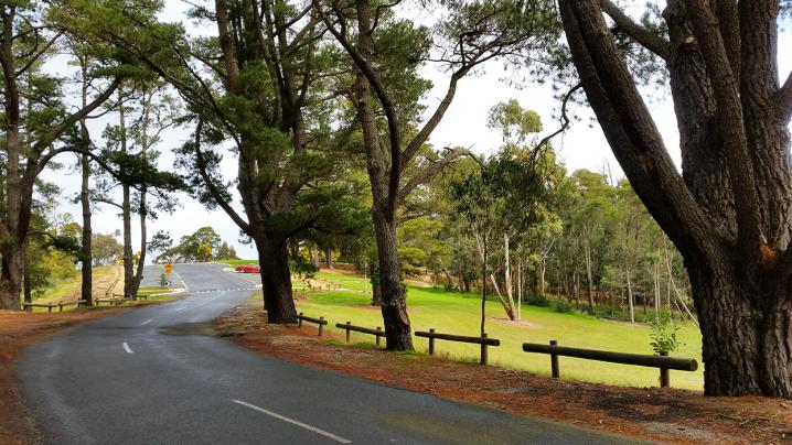
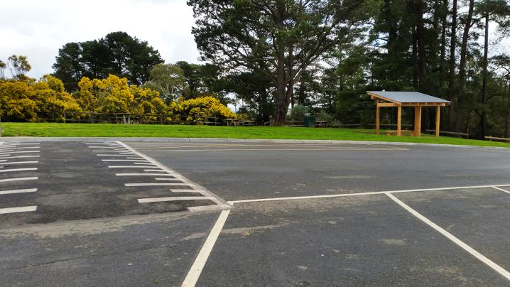
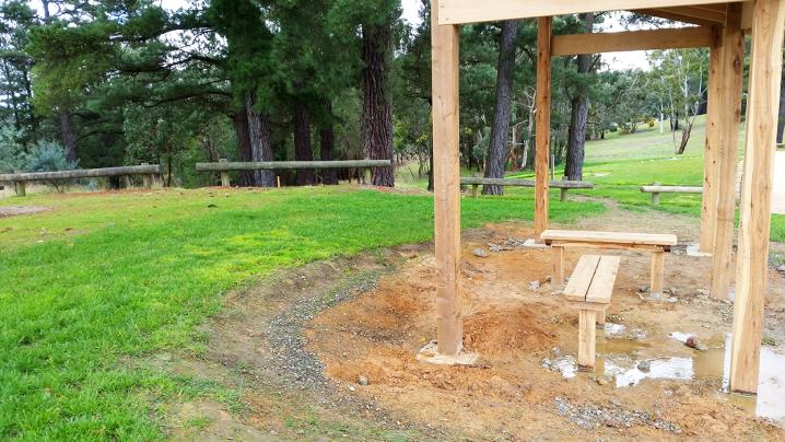
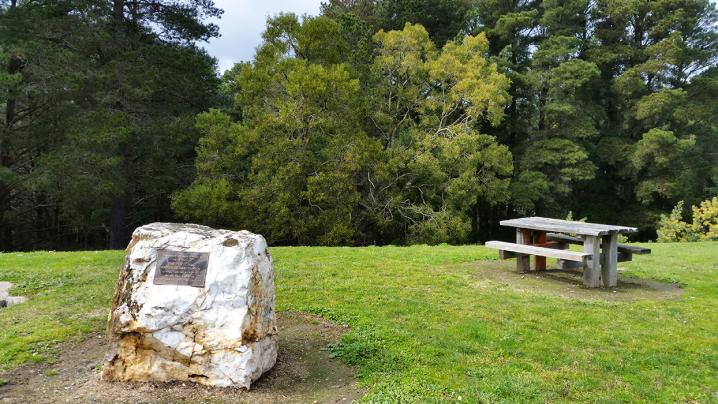
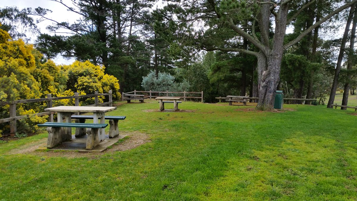
A road winds its way up to a parking area at the lookout where you will find several picnic tables, an undercover seating area, rubbish bins, and the amazing
Mountain Bike Park.
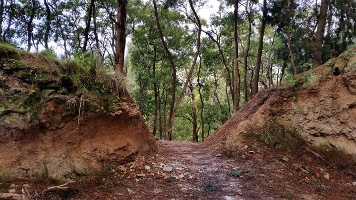
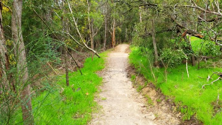
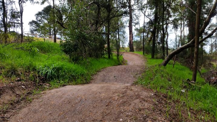
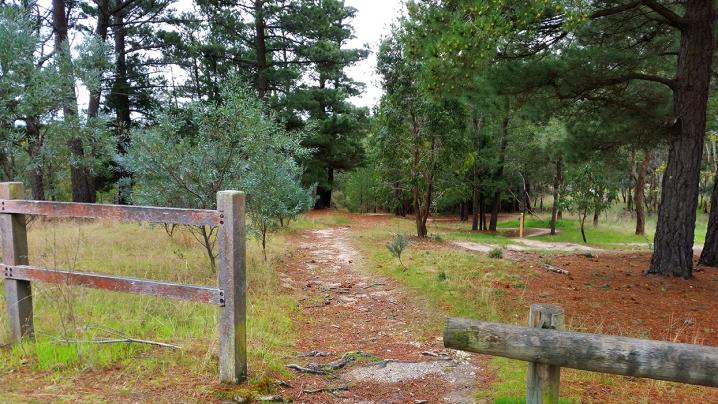
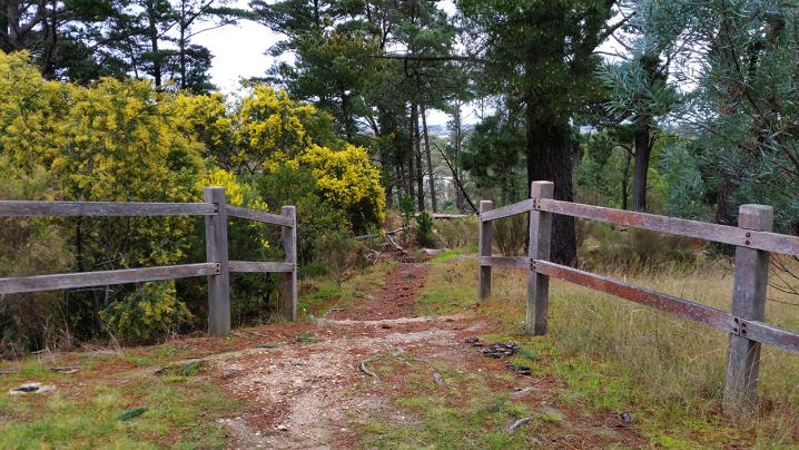
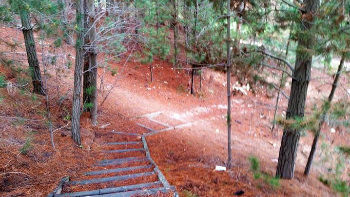
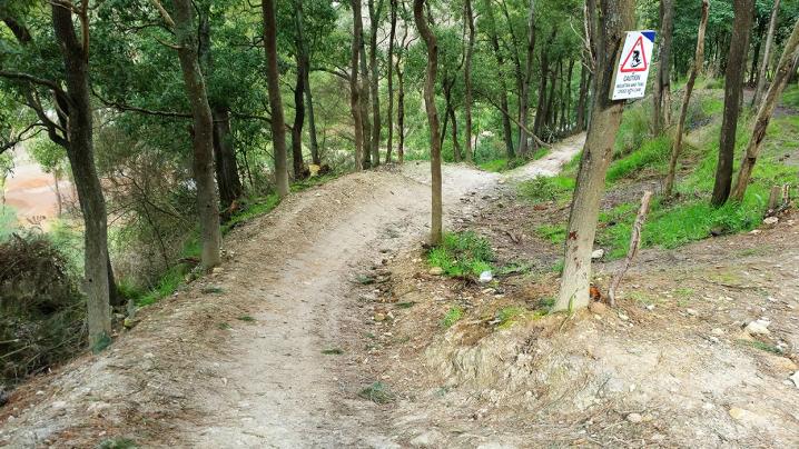
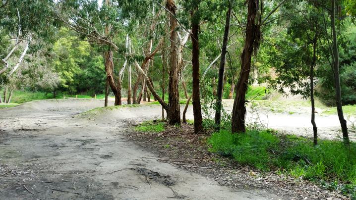
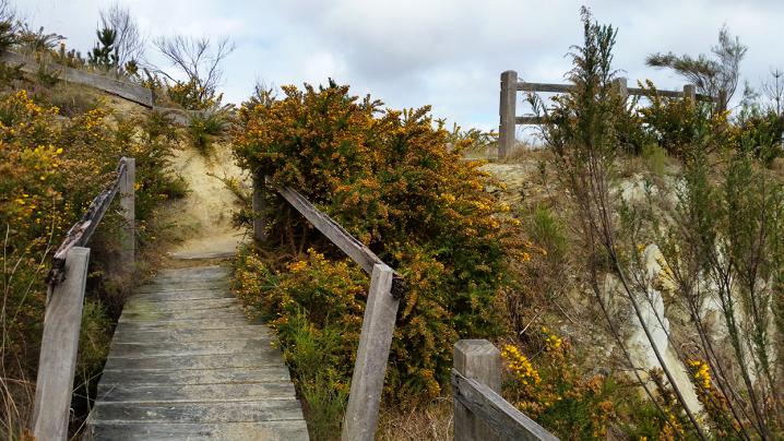
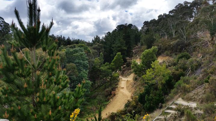
Walking tracks head off around the reserve in all directions, the bike tracks are marked with signs - walkers must avoid these tracks for safety.
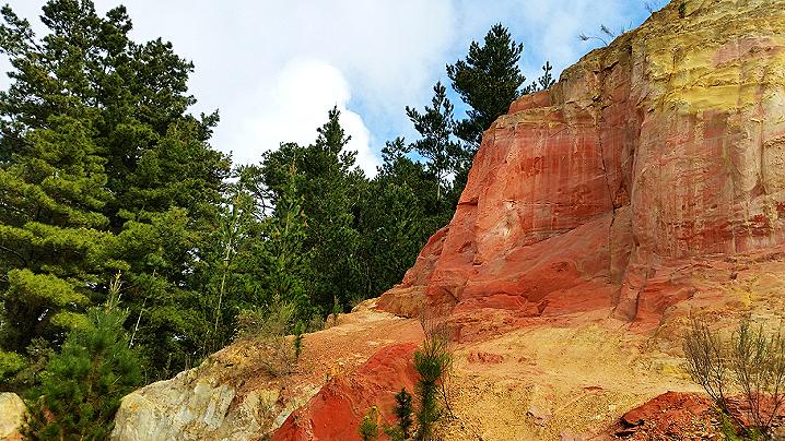
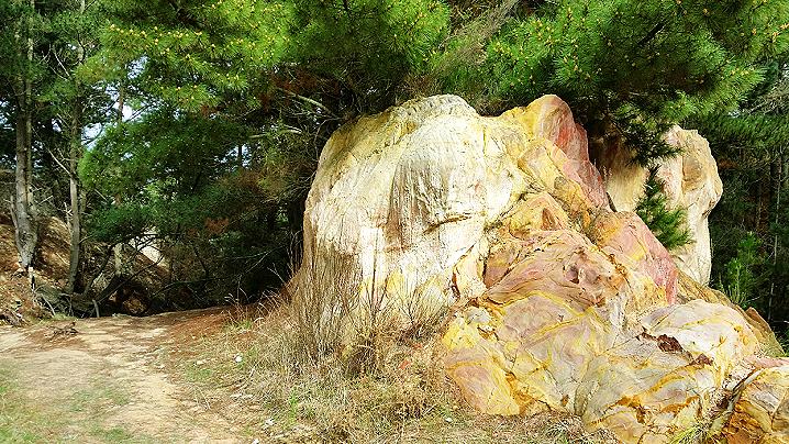
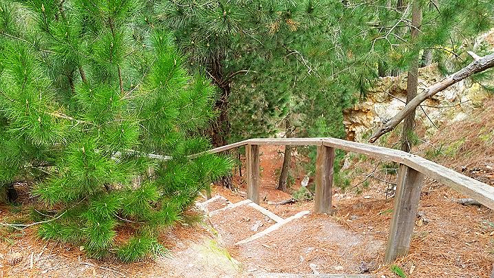
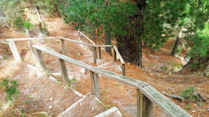
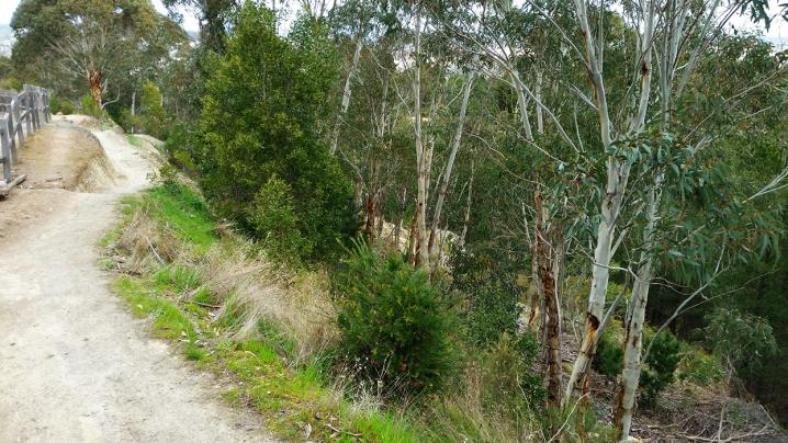
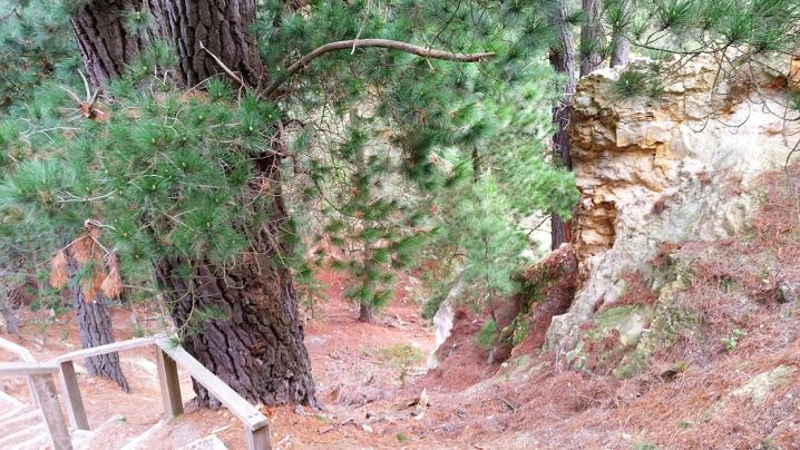
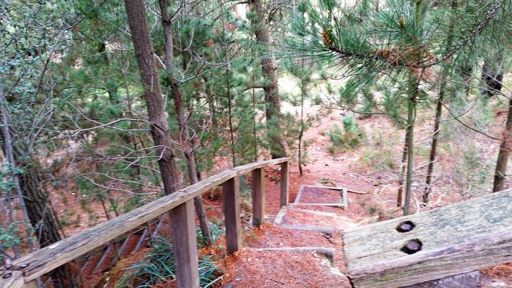
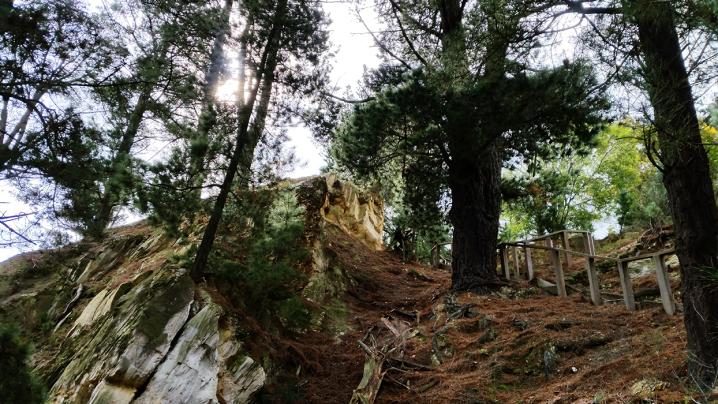
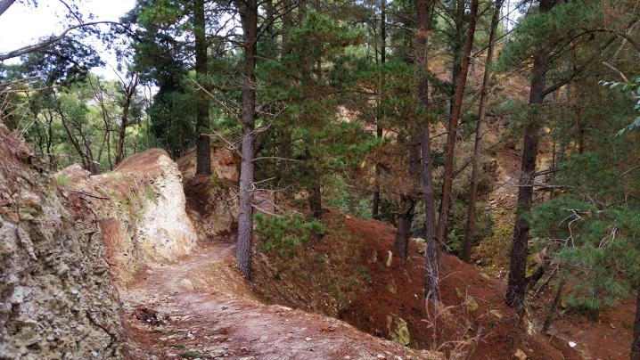
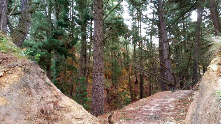
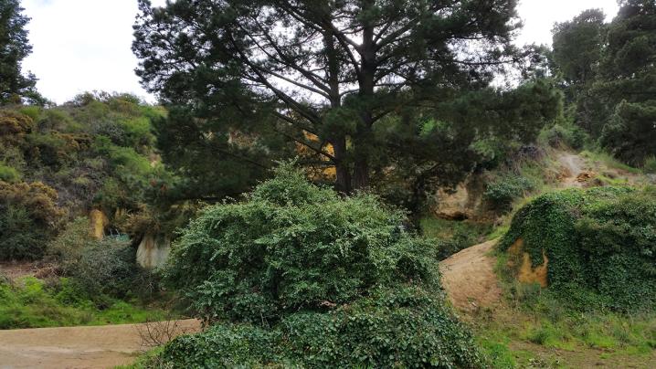
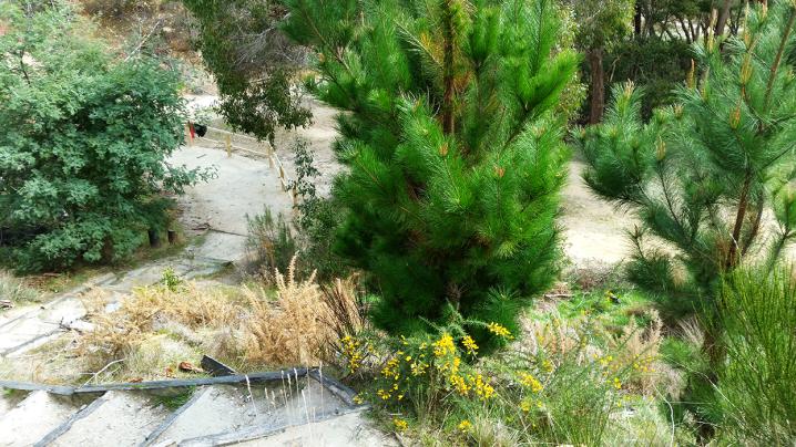
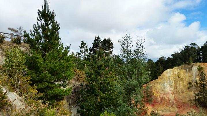
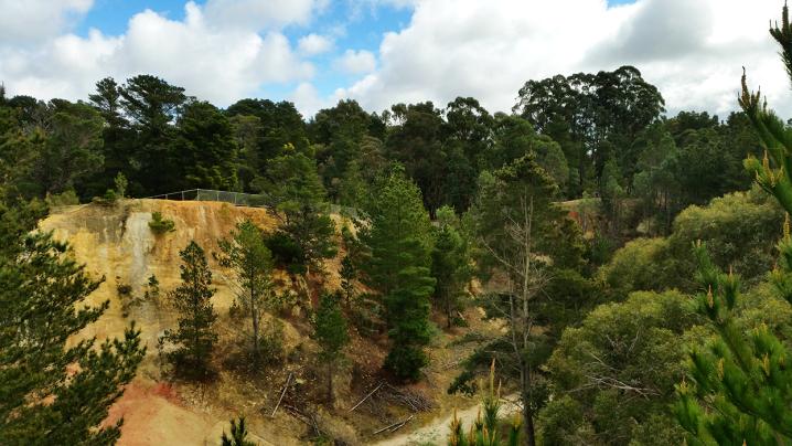
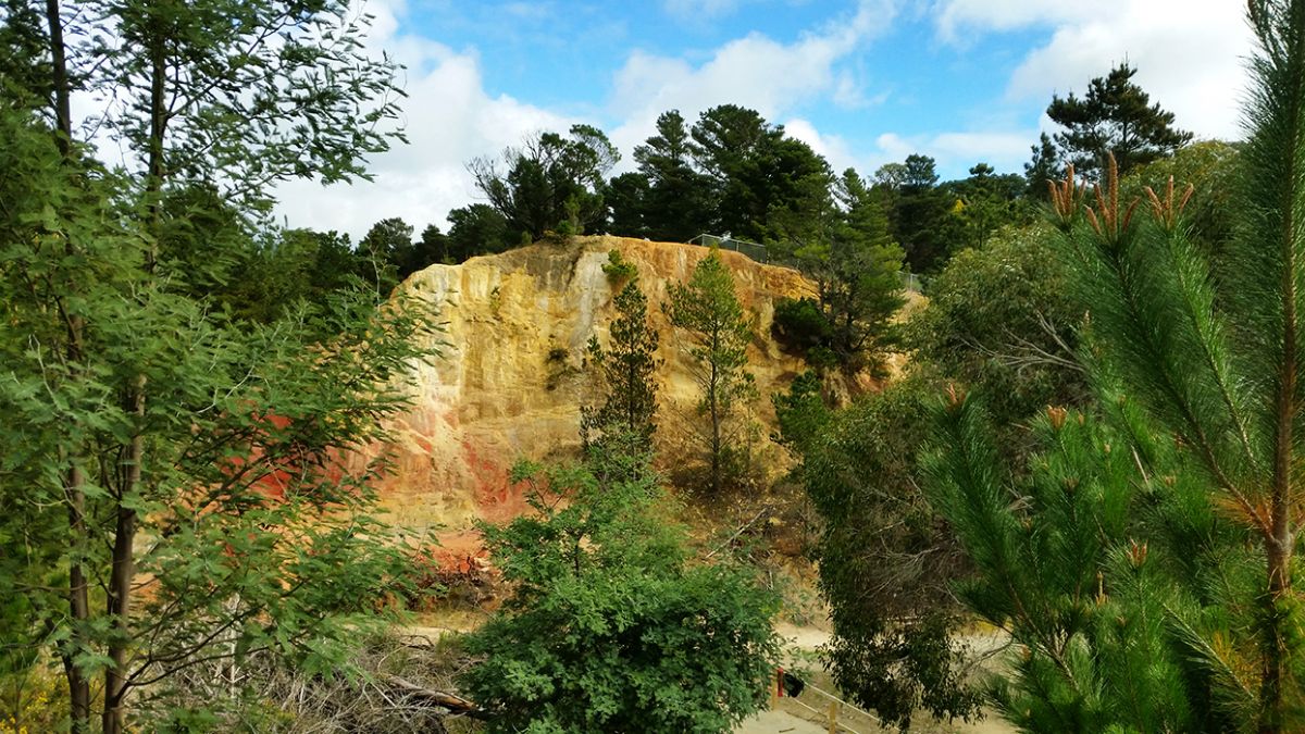
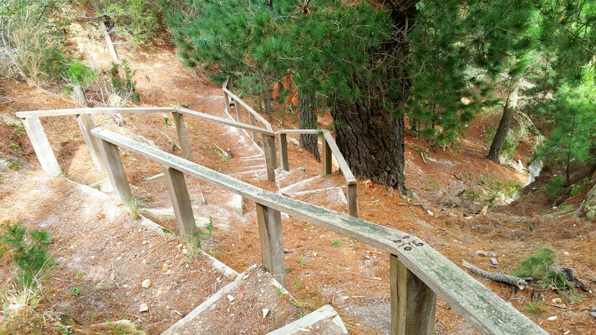
Wooden steps descend down through pine trees into the beautiful open cut gorge, a remnant of the site's mining days. All along the walking tracks you will find gorgeous scenery and some parts open up to offer fantastic views.
The whole area is steep and in some parts can be slippery, particularly if it has been raining, so step with caution. Small children must be well supervised.
According to the Victorian Heritage Database:
The Black Hill Precinct is especially characterised by the Black Hill Public Park Reserve, by adjacent open and
treed Crown Land to the south and east of the Reserve, and by a small number of cottages adjacent to the southeastern
boundary of the Reserve.
The Precinct centres around land surrounding the Black Hill Reserve. The northern boundary follows the rear of
properties fronting Chisholm Street. The southern boundary generally follows Clissold Street. The East and west
boundaries follow the parkland.
The Black Hill precinct includes the Black Hill public reserve and some privately owned land in Clissold and
Chisholm Streets. Black Hill was originally known as 'Bowdun' by the Watha Wurrung people and was described
as "Black Hill" by William Urquart the government surveyor who surveyed the region in 1851.
Black Hill forms part of the auriferous quartz ranges in the Ballarat region. The post contact history of Black Hill
was characterised by gold mining over three different eras. Shallow alluvial mining occurred in 1851 - 1852,
followed by the working of deep alluvial lead form 1853 - 1875 and finally the development and working of quartz
reefs in the underlying bedrock in 1854-1918.
Black Hill was a difficult area to mine, as the area had no water supply to wash dirt and remove the gold. Miners
had to bag the dirt, roll the bags down the hill and wash it in the Yarrowee Creek. By 1853/54 a windmill was
erected to supply power to drive a four-head battery. In 1855 the battery was relocated to the Historical Overview
bottom of the hill and converted to run on steam power. It is thought that this battery was the first to be erected in
Australia. Changes in technology also wrought changes to the landscape. From the late 1850's to early 1900's
the landscape was pitted with shafts, mullock heaps, debris, tramway trestle bridges over the Yarrowee Creek
and almost bare of vegetation. South of the Yarrowee Creek contained water reservoirs and mullock heaps on
land now bounded by Princes, Morres and Newman Streets. Six companies were working the area by 1860.
Open cut mining commenced in earnest in the late 1850's by the Black Hill Quartz Crushing Company, later
became the Black Hill Company Limited Open cut mining became the sole method of mining until 1864. IN 1861,
a new sixty-head battery was installed and the Black Hill Company was processing 100 tons of quartz per week.
The company purchased the surrounding claims and held about 40 acres, encompassing much of the hill and
land to the south of Yarrowee Creek.
Open cut mining continued with tunnels extended more than half a mile long and the distinctive cliff began
appearing from about 1863. Between 1862 and 1870, the company produced 1019 kg of gold, the processing
site included a large steam driven battery which would have been located opposite the present Newman Street
footbridge, a transport railway and foundry. By 1907 mining operations decreased and the area became popular
as a public recreation facility. Reservation of land to form the reserve began in 1907 and the last reservation
occurred in 1983. A brickworks and the Davey's Paint Factory also co-located on the Hill and as the ceased
operations, became incorporated into the public reserve.
Revegetation activities occurred at various sites in the reserve. On Arbor Day in 1913, boys from state schools
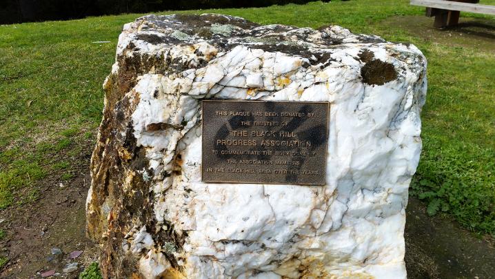
planted trees to make the hill "a more sheltered and attractive lookout'. The Black Hill Progress Association was
formed in 1917 with the aim of the beautification of the locality. On Arbor Day 1917, boys from Humffray Street,
Black Hill and Queen Street State Schools planted over 1,000 pines in avenues. A lookout was also erected and
paths formed from the streets to the reserve and lookout.
Further tree planting occurred to the 1980's by various community groups and the Council. The reserve also
benefited from sustenance and relief work between 1927 and 1932, constructing pathways, planting trees and
fencing. The tourist roadway was constructed in 1940 to provide a scenic look to the Reserve.
Key remnants of mining activity remains including the visible scarring and debris form the open cut era, vertical
and horizontal shafts, foundations that may be attributed to the crushing battery, two concrete structures possibly
used to house explosives and brick kerbing. A few residential buildings are located in the south east of the
precinct and are Victorian vernacular in style. It is possible that one or two may date as early from the 1860's.
The Black Hill precinct is important as one of the few visible and generally untouched mining sites left in Ballarat.
The site is pivotal in its role in the economic and social development of Ballarat from 1851 and for the remaining
artifacts that can contribute to a better understanding of the place and the technology used. The site is important
for the views from the precinct to Ballart and as a significant landmark. afforestation. The precinct is also
important as a location for public recreation and culturally important for its association with community groups.
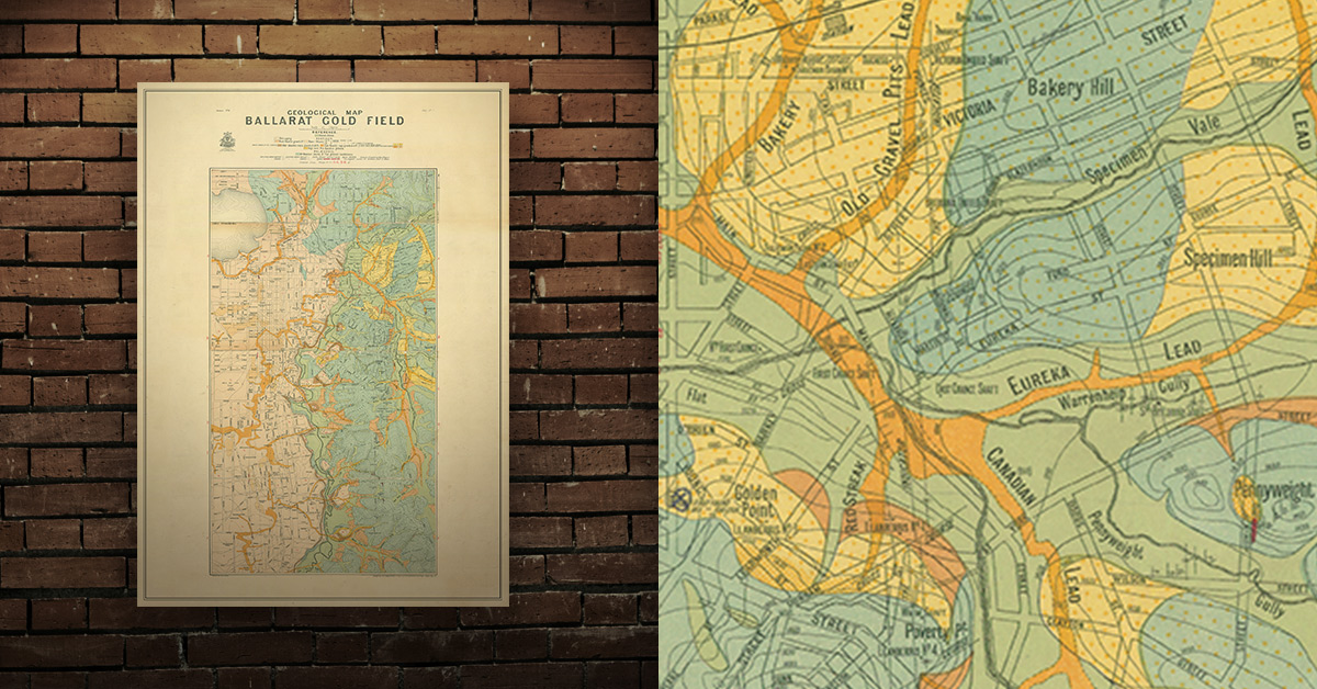
GEOLOGICAL MAP OF THE BALLARAT GOLD FIELD, 1917
Geological map of the Ballarat gold field which shows historical features in superb detail, including mine shafts/companies, reefs, leads, gullies/flats, and gold nugget discovery sites. High quality, durable A1 print in a satin finish. Large, 594 x 891 mm. Go to online shop.
PROSPECTORS AND MINERS ASSOCIATION VICTORIA
Established in 1980, the Prospectors and Miners Association of Victoria is a voluntary body created to protect the rights and opportunities of those who wish to prospect, fossick or mine in the State of Victoria, Australia.
You can support the PMAV in their fight to uphold these rights by
becoming a member. You'll also gain access to exclusive publications, field days, prospecting tips, discounts and competitions.