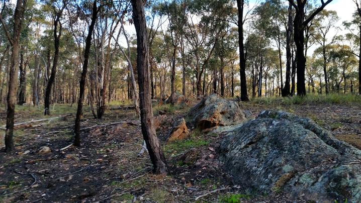
A set of four Aboriginal rock water wells can be found just off Wells track at Bull Gully, just outside Maryborough. These wells are generally thought to be the best example of Aboriginal rock wells in Victoria.
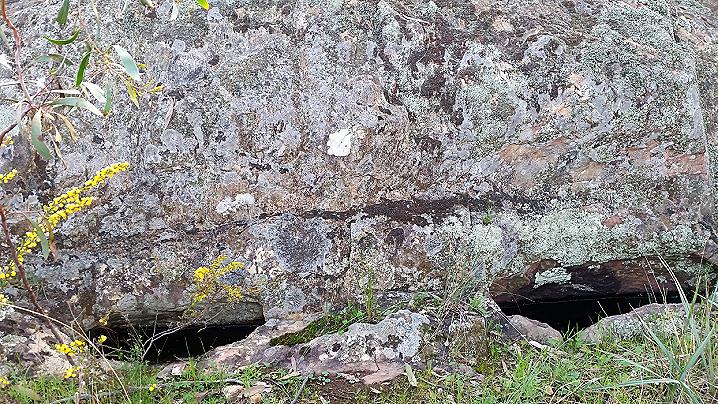
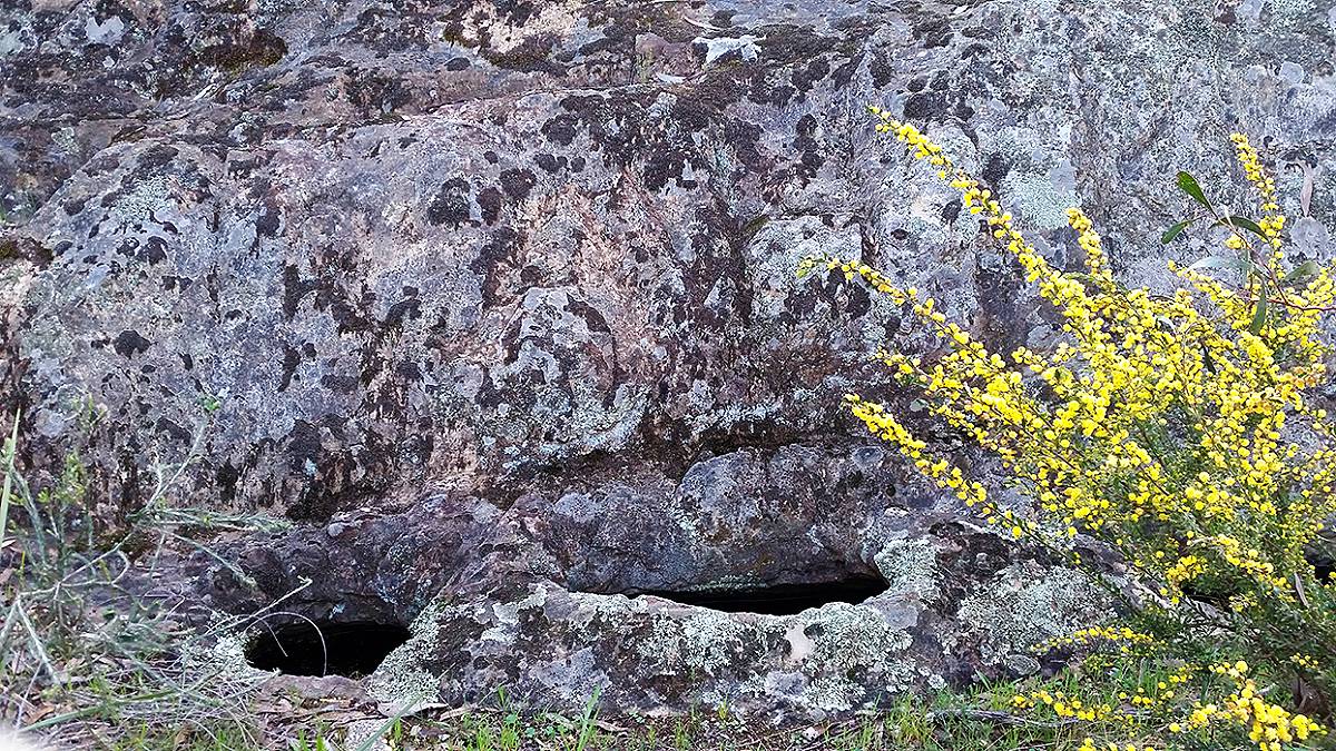
Four holes have been excavated into the base of a large rock in a position which makes them a natural catchment for rainwater falling on the rock above. Three of the holes are joined together within the rock, creating one large cavity. The total holding capacity of these wells is 168 litres.
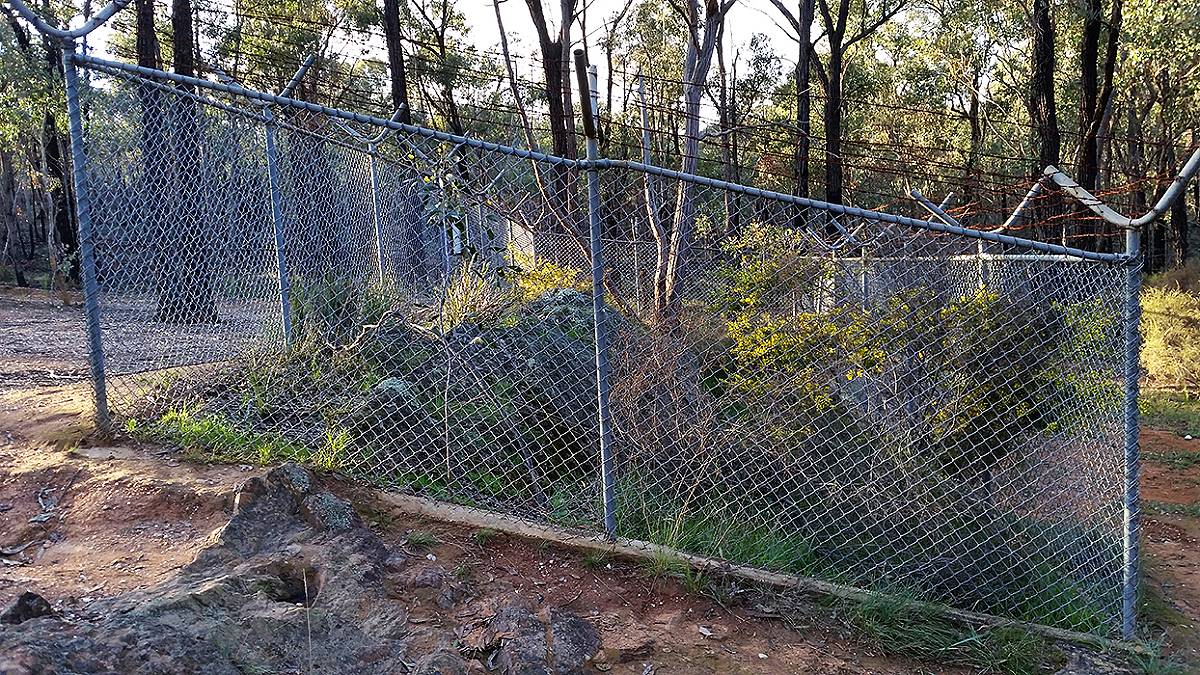
Due to the lack of permanent creeks, Aboriginal people depended on the rock wells for drinking water when they passed through the region. The openings to the wells were covered with flat rocks to prevent evaporation and pollution of the water within.
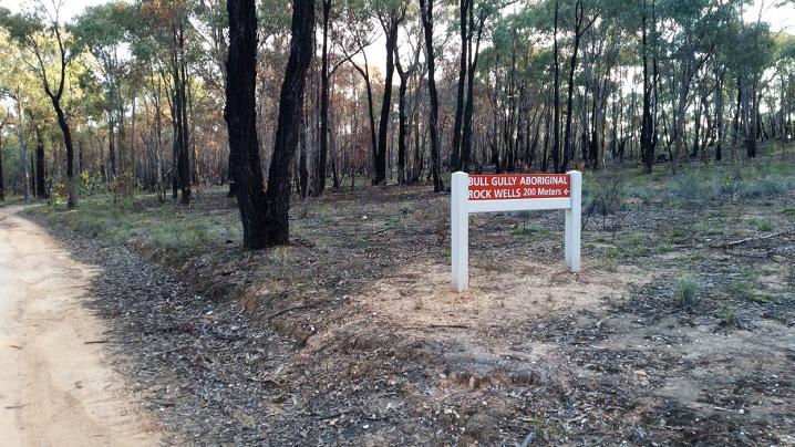
When driving along Wells Track you will come across a sign indicating the location of the rock wells.
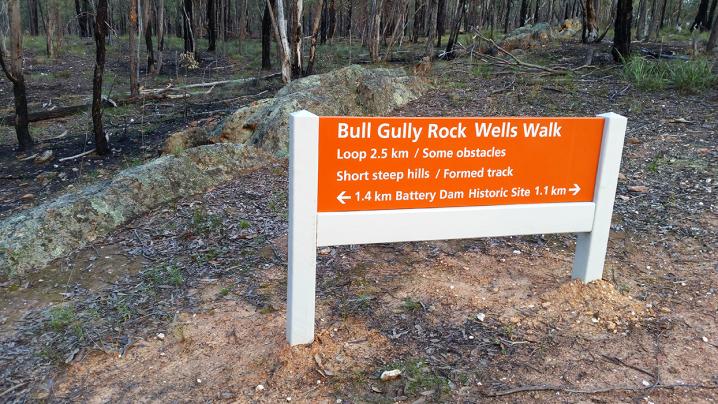
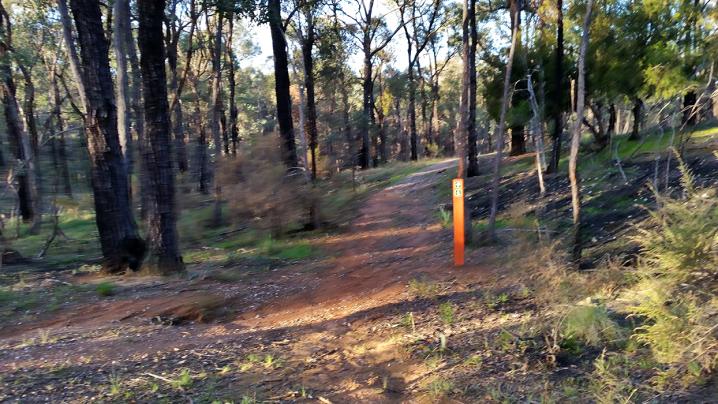
The wells are also accessible via the Bull Gully Rock Wells Walk - a 2.5km loop track which runs between the rock wells and the nearby
Battery Dam - the fascinating remains of a stamp battery and eucalyptus distillery. This walk has a formed track with some short steep hills.
You may also be interested in taking a look at the nearby
Aboriginal Maternity Tree in Talbot, a spectacular giant River Red Gum about 700 years old.
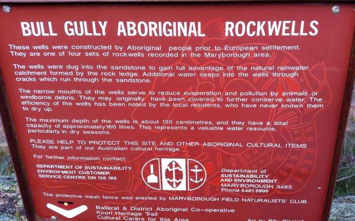
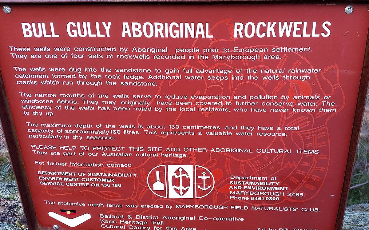
An information sign at the Bull Gully Aboriginal Rock Wells displays the following text:
Bull Gully Aboriginal Rockwells
These wells were constructed by Aboriginal people prior to European settlement. They are one of four sets of rockwells recorded in the Maryborough area.
The wells were dug into the sandstone to gain full advantage of the natural rainwater catchment formed by the rock ledge. Additional water seeps into the wells through cracks which run through the sandstone.
The narrow mouths of the wells serve to reduce evaporation and pollution by animals or windborne debris. They may originally have been covered to further conserve water. The efficiency of the wells has been noted by the local residents, who have never known them to dry up.
The maximum depth of the wells is about 130 centimetres, and they have a total capacity of approximately 160 litres. This represents a valuable water resource, particularly in dry seasons.
PLEASE HELP TO PROTECT THIS SITE AND OTHER ABORIGINAL CULTURAL ITEMS.
They are part of our Australian cultural heritage.
For further information contact:
Department of Sustainability Environment customer service centre on 136 186