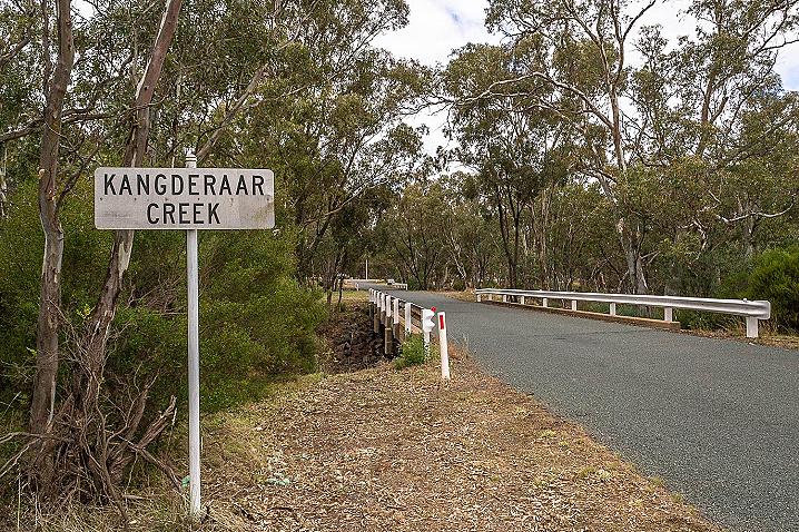
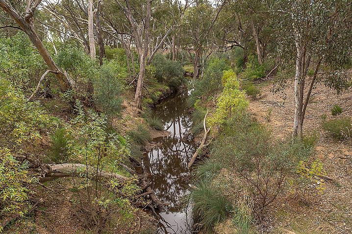
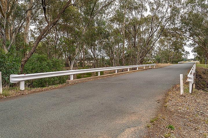
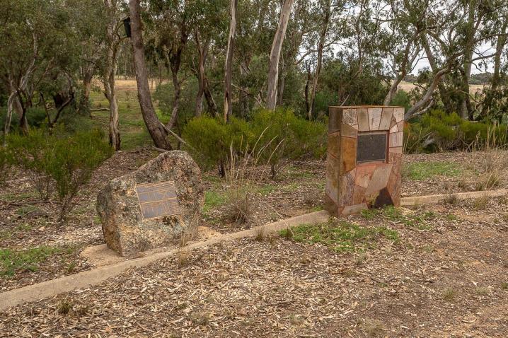
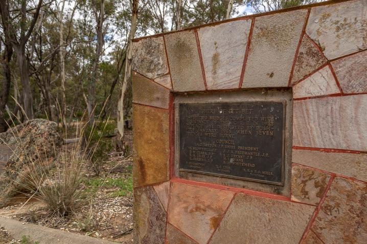
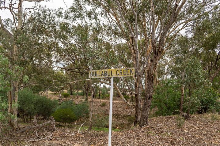
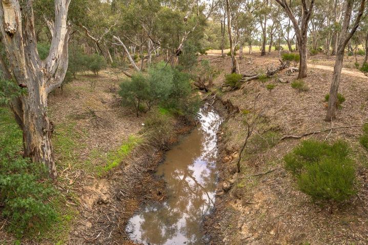
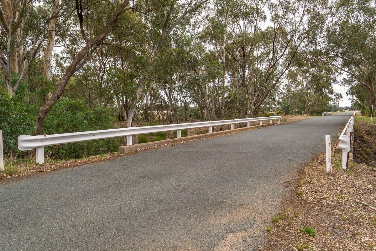
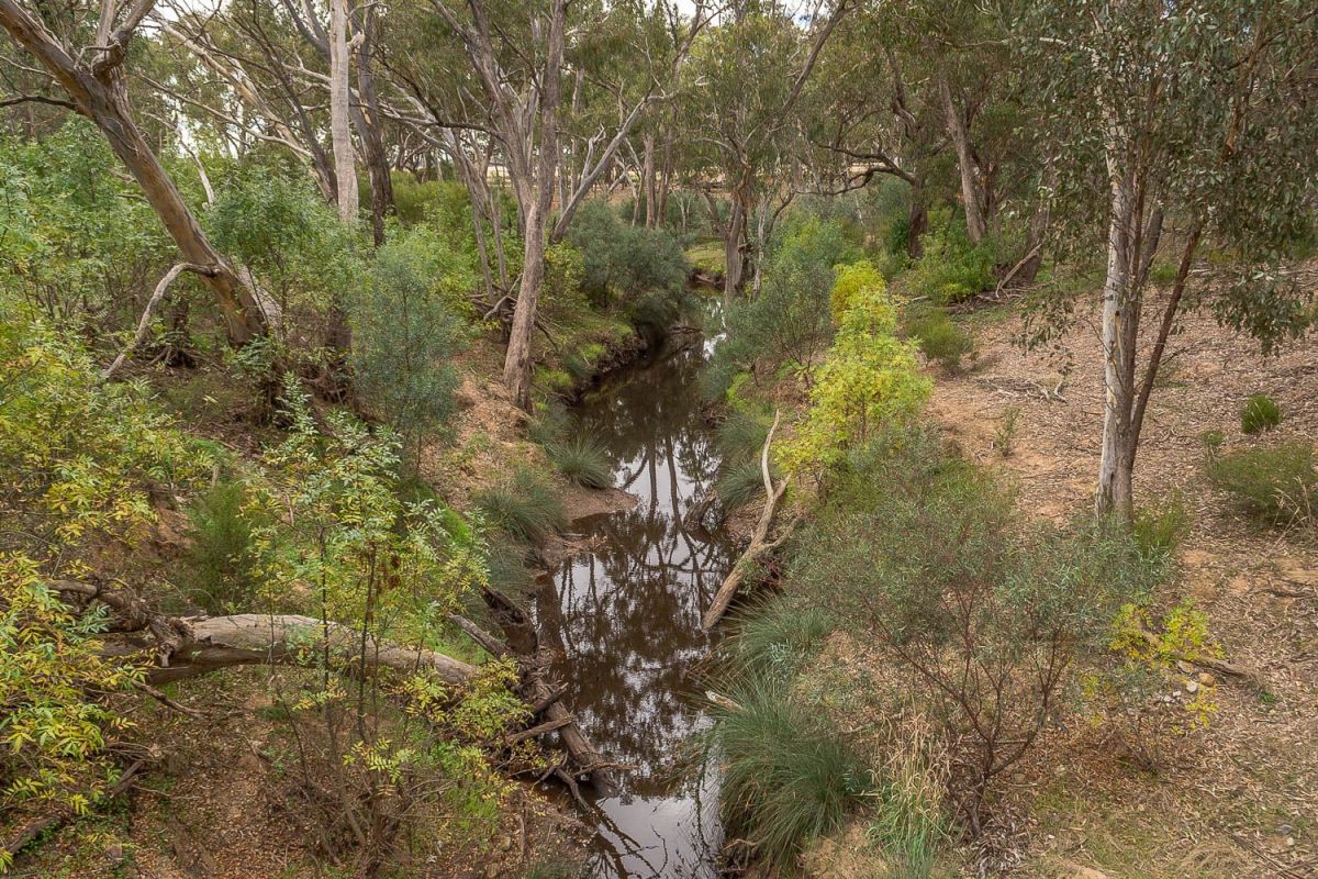
These two bridges in Arnold cross two consecutive creeks, the Bullabul and the Kangderaar, with a set of commemorative plaques sitting between them. These two bridges were constructed in the late 1960s to replace a single bridge which was destroyed in a bushfire.
One of the plaques was installed in celebration of the 150th anniversary of the first bridge built at Kangderaar by David Arnold, and the other plaque displays a map with points of interest around the town.
The first plaque displays the following text:
Shire of Bet Bet
These two bridges completed with assistance of the C. R. B. in 1968 replace one destroyed by bushfire January, 1965, when seven bridges were burnt.
---
This plaque was unveiled to celebrate the 150th anniversary of the first bridge built at Kangderaar, 150m down stream, by David Arnold. The township as renamed Arnold's Bridge in 1891 and Arnold in 1920.
The second plaque displays a map which shows the following points of interest around Arnold:
- Station
- Weighbridge
- Store / Post office
- Pennington reserve
- Hall
- School
- St Mary's Church
- Junction hotel
- Recreation reserve
- Original bridge
- Halfway hotel
- Cheese factory
- Mining