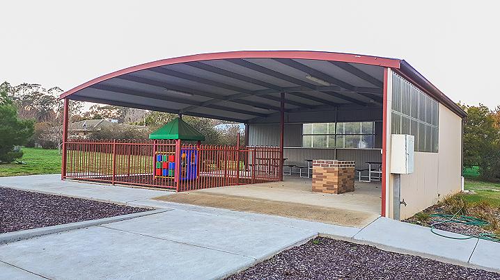
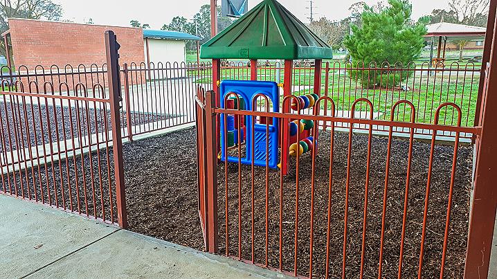
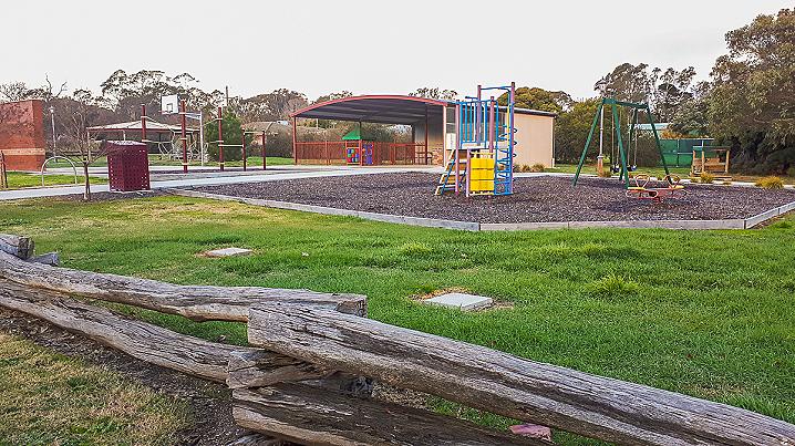
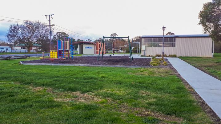
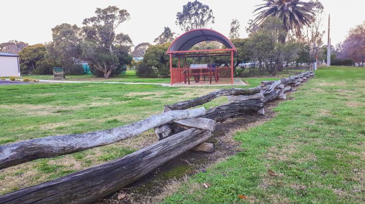
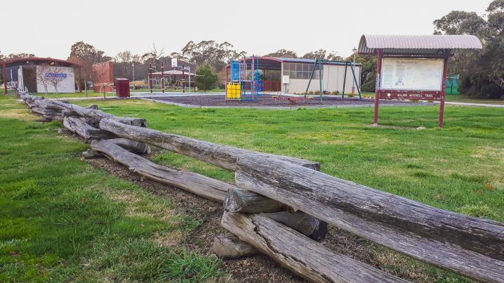
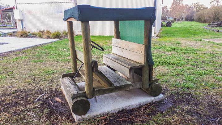
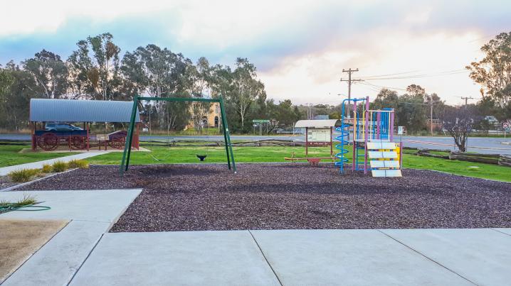
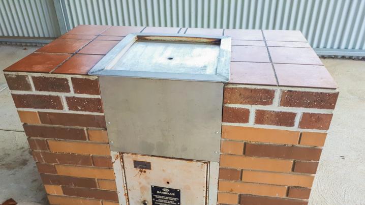
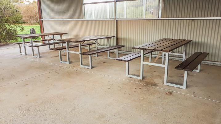
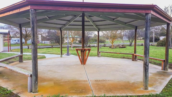
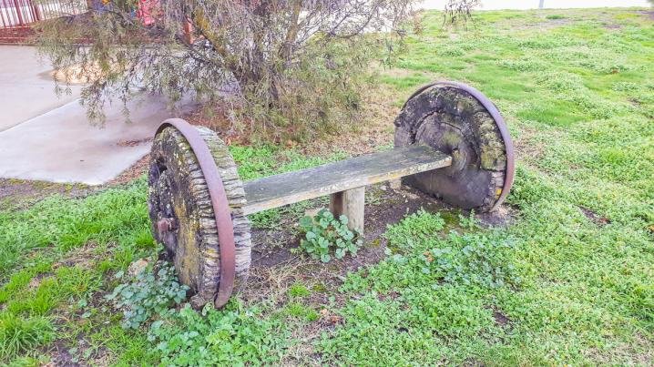
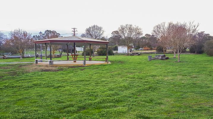
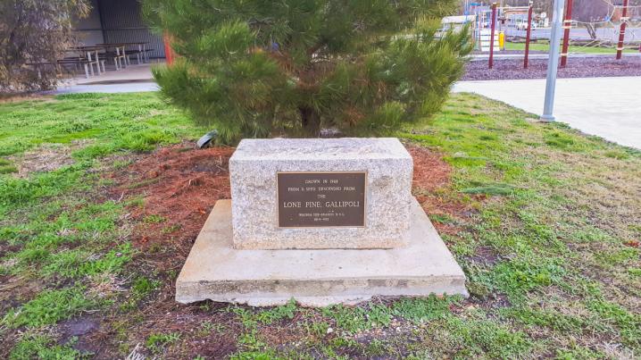
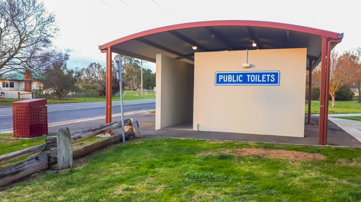
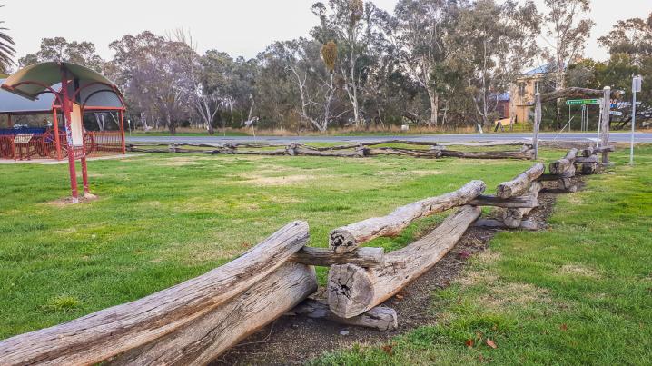
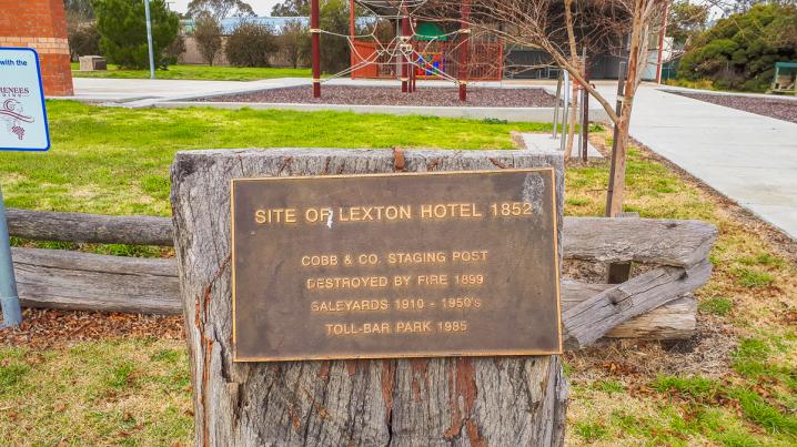
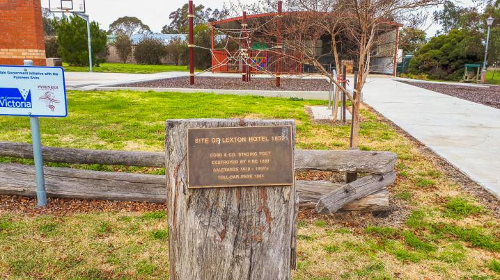
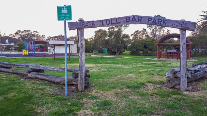
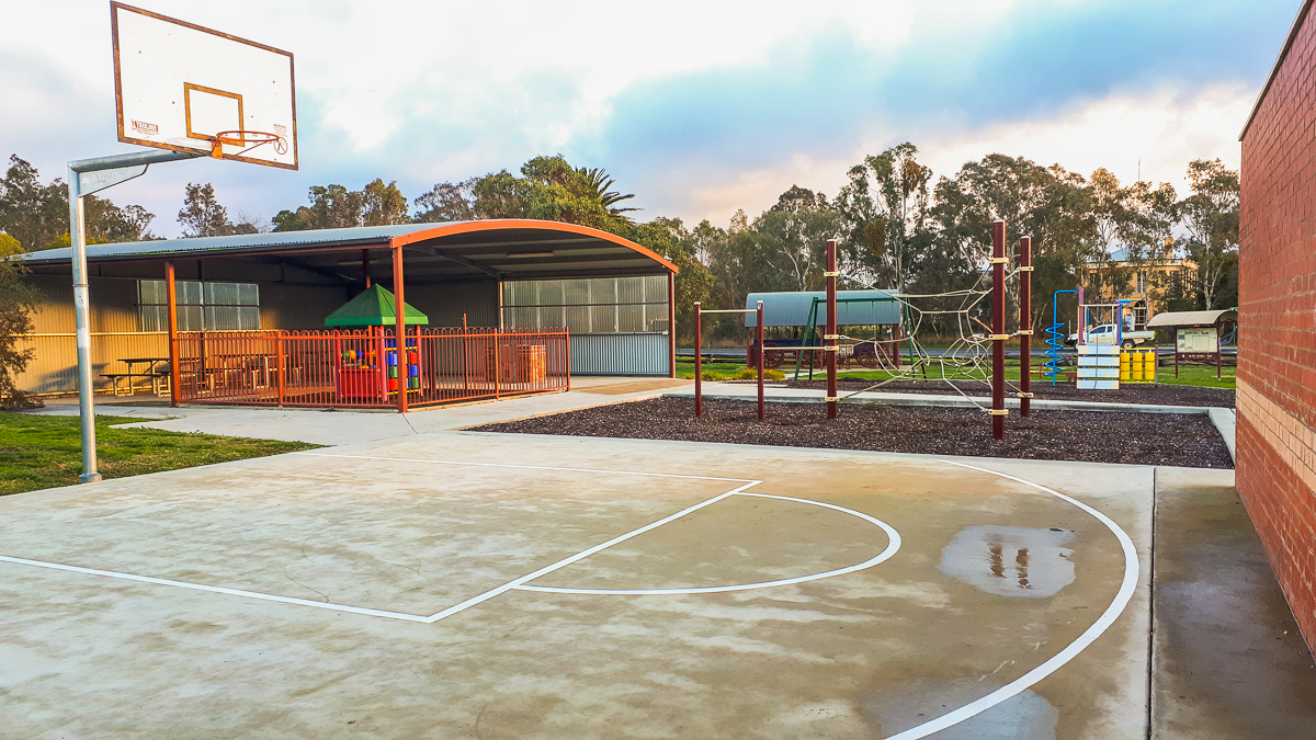
Toll Bar Park is a well equipped picnic and play area in Lexton, Victoria. The park boasts a playground, undercover fenced toddler play space, undercover electric barbecues and picnic tables, ball court, toilets, historical relics and information signs.
The following text is displayed on information signs at Toll Bar Park:
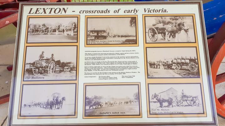
Lexton - crossroads of early Victoria
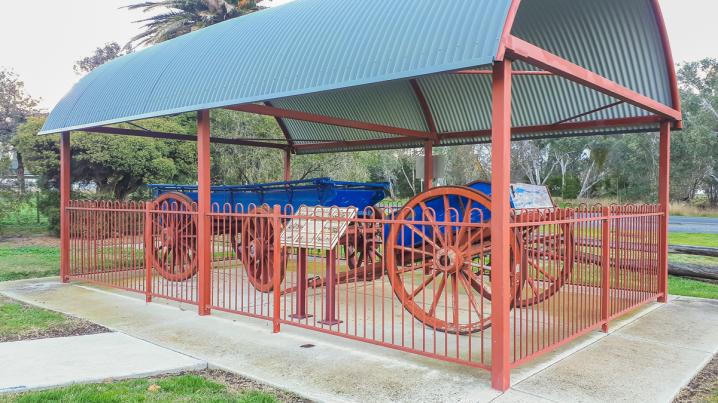
LEXTON (originally known as 'Burnbank') became a teamsters' depot during the 1840's.
This display recognises the important role played by bullock wagons and horse drawn vehicles in the development of transport and the rural industry in this district.
It was here, beside Burnbank Creek at the crossroads of the squatters' western and northern tracks, that bullock and horse teams rested before continuing on to the Western District or the Wimmera. (see information board)
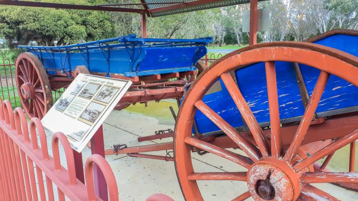
In 1985 P.J. Ryan & Family of Waubra donated this Box Wagon and dray to the people of Lexton for display in Toll Bar Park. These vehicles are typical of the type used on farms in this district. Both vehicles were restored in 2003 by G. & J. Little, Wainwrights of Maldon.
Built in 1920 by McGrath's of Ascot, the Box Wagon was used to carry sheaf hay across to Torney's Chaff Mill at Waubra. After restoration Geof Little returned the wagon to the Park, on Saturday 14 June 2003. A team of five Clydesdale horses brought the wagon overland from Maldon. It took three days to cover the 70 kilometre journey.
The dray was used by the Ryan family to take potatoes to the Railway Station at Waubra. The restored Dray was returned to the Park on Sunday 30 November 2003.
Acknowledgements:-
- The Pyrenees Shire
- The Avoca Lions Club
- The Community Support Fund
- RACV Foundation
- Lexton Progress Association Inc.
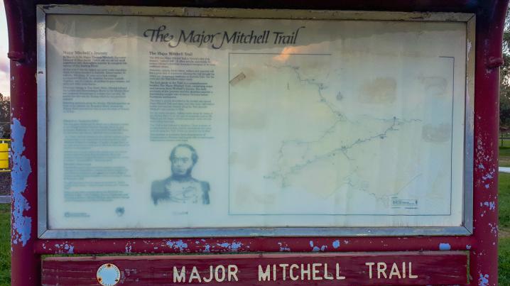
THE MAJOR MITCHELL TRAIL
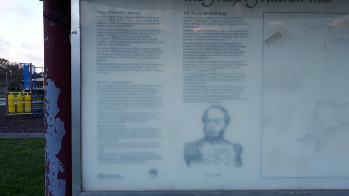
Major Mitchell's Journey
In March, 1836, Major Thomas Mitchell, Surveyor-General of New South Wales, set out on his third expedition into Australia's interior to complete his survey of the Darling River.
At that time it was the largest and most costly expedition which had been mounted in Australia. Eleven horses, 52 bullocks, 100 sheep, 22 carts and a boat carriage accompanied Mitchell, his Assistant Surveyor Granville Stapylton, and 22 convincts, all outfitted in grey trousers, red shirts and white cross braces.
From near Orange in New South Wales, Mitchell followed the Lachlan and Murrumbidgee Rivers to the Murray River and continued downstream to a major river junction. He proved that this was the Darling which he had previously explored.
Returning upstream along the Murray, Mitchell launched his boats at the present day Boundary Bend, crossed the Murray River and entered what is now the State of Victoria on 13 June.
Mitchell in "Australia Felix"
The lush green landscape he found was a pleasant contrast to the drought-stricken districts through which he had journeyed. Reflecting on the view from Pyramid Hill which he discovered and named, Mitchell wrote in his diary:
"As I stood, the first intruder on the sublime solitude of these verdant plains as yet untouched by flocks and herds, I felt conscious of being the harbinger of mighty changes there; for our steps would soon be followed by the men and animals for which it seemed prepared."
Mitchell was so impressed by the country he saw that he turned south-west away from the Murray River. He therefore became the first European to explore the country he named "Australia Felix" (fortunate land).
Mitchell's discoveries
Mitchell discovered and named the majestic Grampians, explored the Glenelg River, visited the Henty Family at the new Portland settlement and sighted the infant village of Melbourne from Mount Macedon before returning to Sydney in November 1836.
His glowing report had the impact he predicted. Within months of his return, settlers began moving into "Australia Felix".
Many of the place names given by Mitchell are familiar today - the Loddon, Avoca, Campaspe and Wimmera Rivers, Mount William and Mount Abrupt in the Grampians and Mount Macedon.
The Major Mitchell Trail
The 1700 km Major Mitchell Trail is Victoria's first long distance "cultural trail". It offers you the opportunity to retrace Mitchell's footsteps by modern transport or by more traditional means.
Motorists, cyclists, horse riders, walkers and canoeists will find a great deal of enjoyment following the trail through the varied and picturesque landscape of Australia Felix. For the most part the Trail follows minor roads.
The best guide to the Trail is a comprehensive booklet The Major Mitchell Trail, containing maps and extracts from Mitchell's diaries. His daily accounts of the journey and his sketches provide a fascinating sight into western Victoria before European settlement.
The route is clearly described in the booklet and special Major Mitchell Trail road-signs mark the route. Information boards and museum displays along the Trail describe Mitchell's epic journey of 1836.
For the more energetic, walking tracks along the banks of the Murray River or the tops of mountains such as Mt William and Mt Napier provide panoramic views over the surrounding landscape.
The Trail is best followed in sections. There is plenty of accommodation in hotels, motels, homesteads and campgrounds along the Trail. These are listed in the booklet.
The booklet is available from Department of Conservation, Forests and Lands offices and tourist information centres (see map).