Browse by Tag
BBQ
Educational
Free camping
Gold history
Gold prospecting
Swimming
Walking track
Search

Moorabbee Bluff

  • 20190106 dsc 4531
  • 20190106 dsc 4540
  • 20190106 dsc 4524
  • 20190106 dsc 4530
  • 20190106 dsc 4527
  • 20190106 dsc 4537
  • 20190106 dsc 4550
  • 20190106 dsc 4545
  • 20190106 dsc 4541
  • 20190106 dsc 4554
Moorabbee Foreshore Road, Knowsley VIC

Explore other locations around this area using our interactive map

Features

  • Lookout
  • Walking track
  • Picnic tables
  • Ruins
  • Information sign and monument
Moorabbee Bluff offers spectacular panoramic views over a vast section of Lake Eppalock and the farmland beyond. 

Several picnic tables are scattered across the grassy bluff. 


A gravel road leads from the Moorabbee Foreshore Road down to a large parking area and viewpoint. 

A short walking track leads from this parking area down to a second viewpoint closer to the water.

Stone ruins


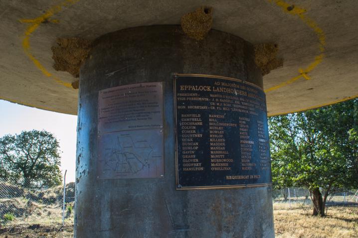
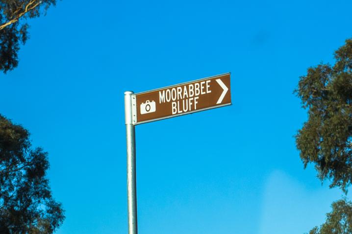
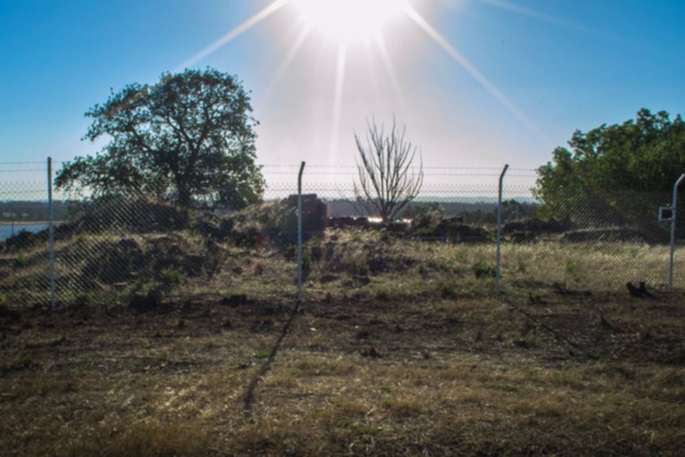
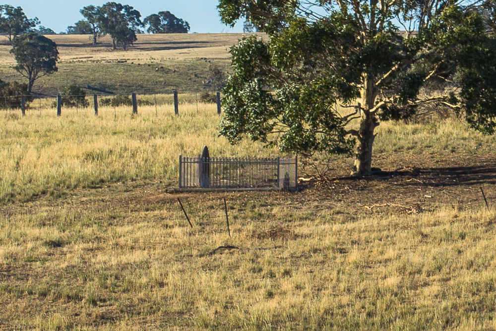
Stone ruins stand beside the road along with a monument which displays the following text:

This plaque overlooks Langwoornar Station.

It is dedicated to the late Robinson & Mary Ann Cocks who settled on the Station in 1852.

It was bounded by the Wild Duck Creek, Campaspe River & extended south to Mia Mia township. The family sold Langwoornar Station in 1888 & Robinson became the Heathcote Magistrate.

Robinson Cocks Junior purchased the neighbouring property Kimbolton in 1889. It sold in 1898 and he then purchased Northwood Park, Seymour Vic.

David & Hunter Cocks, Canberra.

Lone Grave


A little further down the road from Moorabbee Bluff lies the Lone Grave of Katherine Patterson and Mary Lumsden Patterson.


DID YOU KNOW...

  • There are many great places throughout the Goldfields that offer gorgeous, panoramic views of the surrounding landscape.
 

Comments

No comments

Leave a comment

Follow us on Facebook