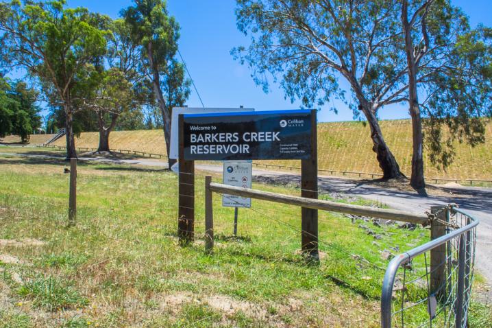
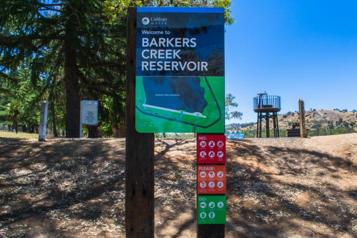
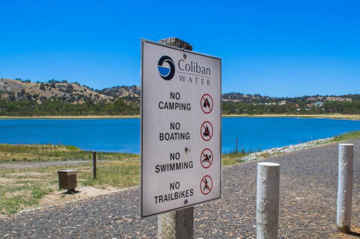
Coliban Water information signs at Barkers Creek Reservoir display the following text:
WELCOME TO BARKERS CREEK RESERVOIR
Kayaks and canoes are now welcome here
The Victorian Government wants you to enjoy our water resources, by providing access for kayaks and boats with electric motors to several new waters throughout Victoria. We're also stocking a record number of Murray cod, golden perch and brown trout, so there's more fish for families to catch.
- Electric motors permitted
- Catch limits apply. To find out more obtain a recreational fishing guide at vfa.vic.gov.au/recguide or download the free Vic Fish App
- Rec fishing licences required. Can be purchased from vfa.vic.gov.au/licence
- On water access may be closed temporarily for your safety or for water management purposes
- To report illegal fishing call 13FISH (133 474)
- In case of emergency call 000
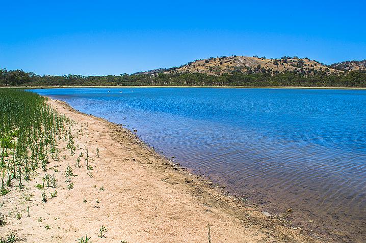
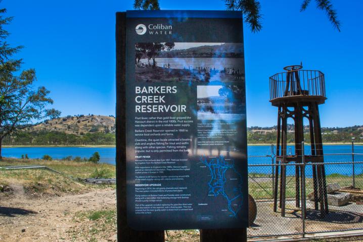
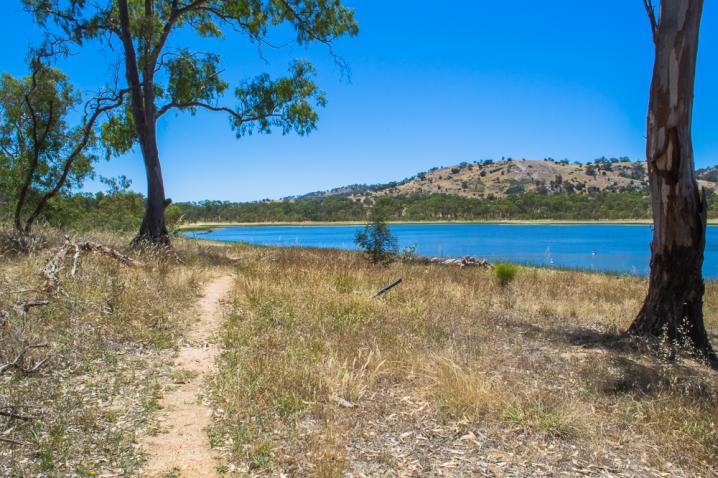
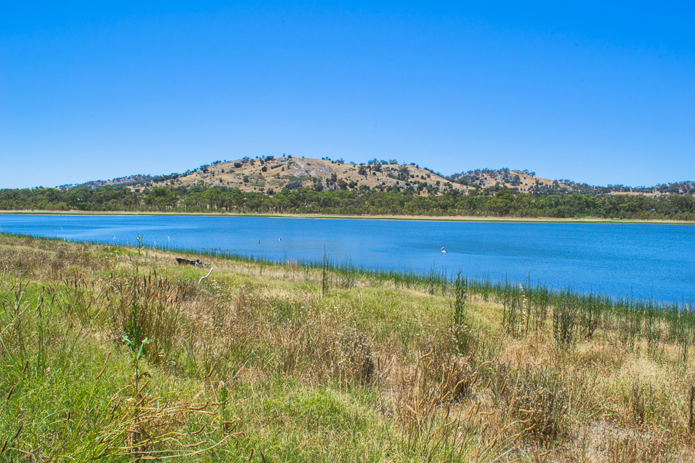
BARKERS CREEK RESERVOIR
Fruit fever, rather than gold fever gripped the Harcourt district in the mid 1800s. Fruit success was dependent upon a reliable water supply.
Barkers Creek Reservoir opened in 1868 to service local orchards and farms.
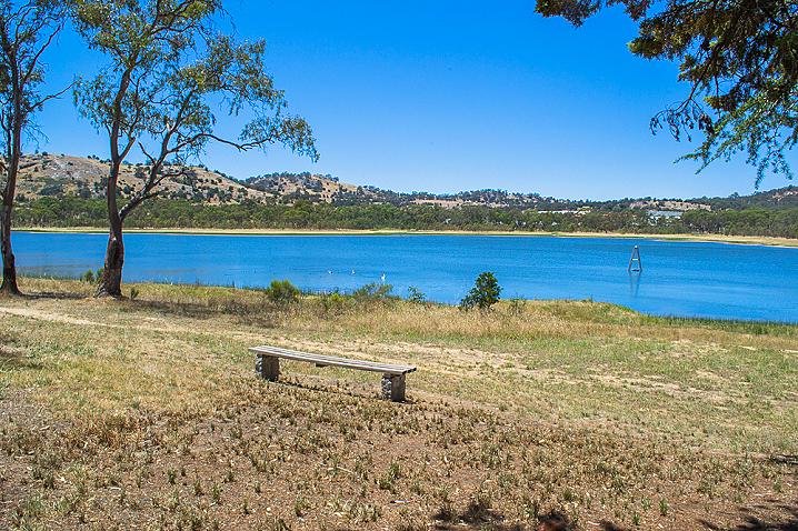
Overtime, the quiet locale attracted a boating club and anglers fishing for trout and redfin along with other species. Fishing remains popular, but is only permitted from the bank.
Fruit fever
Harcourt's first orchards date from 1857. Yield was boosted by irrigation from the Barkers Creek Reservoir. After exportation to England in the 1880s, Harcourt apples gained an international reputation. They attracted the highest market prices in Europe in 1905.
The district is still famous for apples - producing about 40% of the state's supply - along with cideries and wineries.
Reservoir upgrade
Beginning in 2014, the old gravity channels were replaced. The new system included 65kms of pressurised pipes.
Pump stations at Barkers Creek and Faraday were constructed, along with a two million litre balancing storage tank (backup should a pump outage occur).
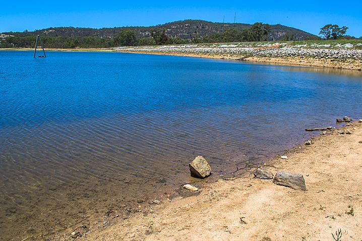
Part of the upgrade included replacing the pipe that drew water from the bottom of the reservoir, with a floating pipe. This now ensures that the best quality water is drawn from a constant level below the surface.
LIQUID GOLD
The lure of gold in the 1850s saw the biggest gold rush this country has ever seen.
In the north of the state, thousands crowded Bendigo Creek, panning for gold and polluting the creek. The same water was used for drinking, cooking and washing. It wasn't long before the creek was choked with sludge.
A reliable, clean water supply had to be found - and fast!
Joseph Brady (1828-1908), civil engineer
The job of planning Bendigo's first water scheme was awarded to Irish civil engineer, Joseph Brady.
Brady estimated eight small reservoirs would be needed to service Bendigo - six for mining and two for domestic supply.
The first reservoir was built at Bendigo's Golden Square in 1859. Investors had hoped to pay for it with gold mined at the site. Unfortunately, there was so little alluvial gold left, and the water was so polluted, that this reservoir was soon abandoned.
The No. 7 Reservoir, built at Big Hill in 1861, was more successful. Finally, Bendigo had water - but not enough! So, Brady looked south to the Coliban River and proposed another enterprising solution.
Coliban River solution
Joseph Brady's proposal was simple, but ambitious.
A large earthen dam would be built across the Coliban River, just upstream from Malmsbury. Water from the reservoir would be diverted along a gravity-fed channel to the thirsty gold towns of Castlemaine and Bendigo.
Brady's system included 70 kilometres of open water channels, aqueducts, syphons and tunnels. It was an expensive scheme and the government was reluctant to build it, however, minds were changed with the great drought of 1865.
Work on the Malmsbury Reservoir began, and by 1874 water flowed to Castlemaine. Three years later, in November 1877, Bendigo finally had a reliable water supply.
Water was also needed for agriculture. Barkers Creek Reservoir has been irrigating farms since 1868.
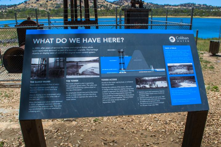
WHAT DO WE HAVE HERE?
The following text is displayed on an information sign alongside the water control system relics:
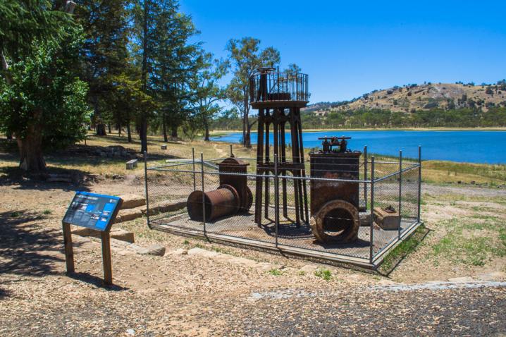
In 2003, after years of service the tower and original sluice valves (giant taps) were removed as part of a reservoir upgrade. The heritage objects on display were all part of the original water control system.
The sluice valves
Sluice valves control the flow of water.
The large upstream guard valve was operated from the tower via a long valve rod.
Also on display is the downstream valve that was operated on the other side of the dam wall.
When the tower and valves were removed in 2003, a hydraulic operated valve was installed on the upstream side. This valve was refurbished in 2014 and attached to a floating arm.
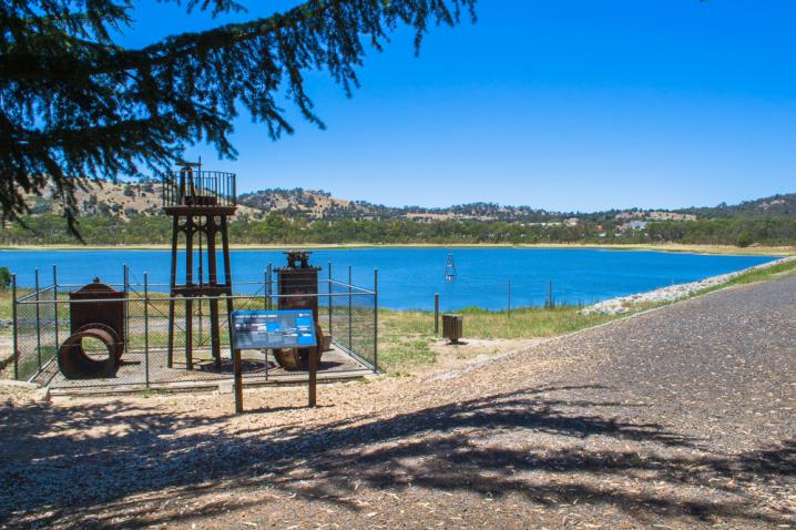
The tower
The tower played a role in operating the upstream guard valve. The valve was raised and lowered by a drive wheel at the top of the tower.
An employee would row out to the tower, climb a metal ladder and turn the drive wheel handle to operate the valve in the water below.
Tower access
Access to the tower was by boat, or whatever else was at hand:
"During the violence of the storm, the man in charge of the reservoir was for a long time unable to approach the valve (tower). Having no boat, he had endeavoured to reach the valve paddling himself along on three pieces of planking lashed together. The wind blew him a mile away across the lake..." September, 1870
Take a walk
Stroll along the dam wall to find the new spillway, constructed in 2006, in the middle of a decade-long drought. Many wondered, would it ever be needed?
In 2010, a dramatic deluge broke the drought. The reservoir overflowed and the new spillway proved its worth.