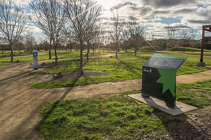
An information board provided by City of Ballarat stands alongside the parking area, and displays a map with numbered points indicating the re-created landmarks throughout the park. Map points listed are:
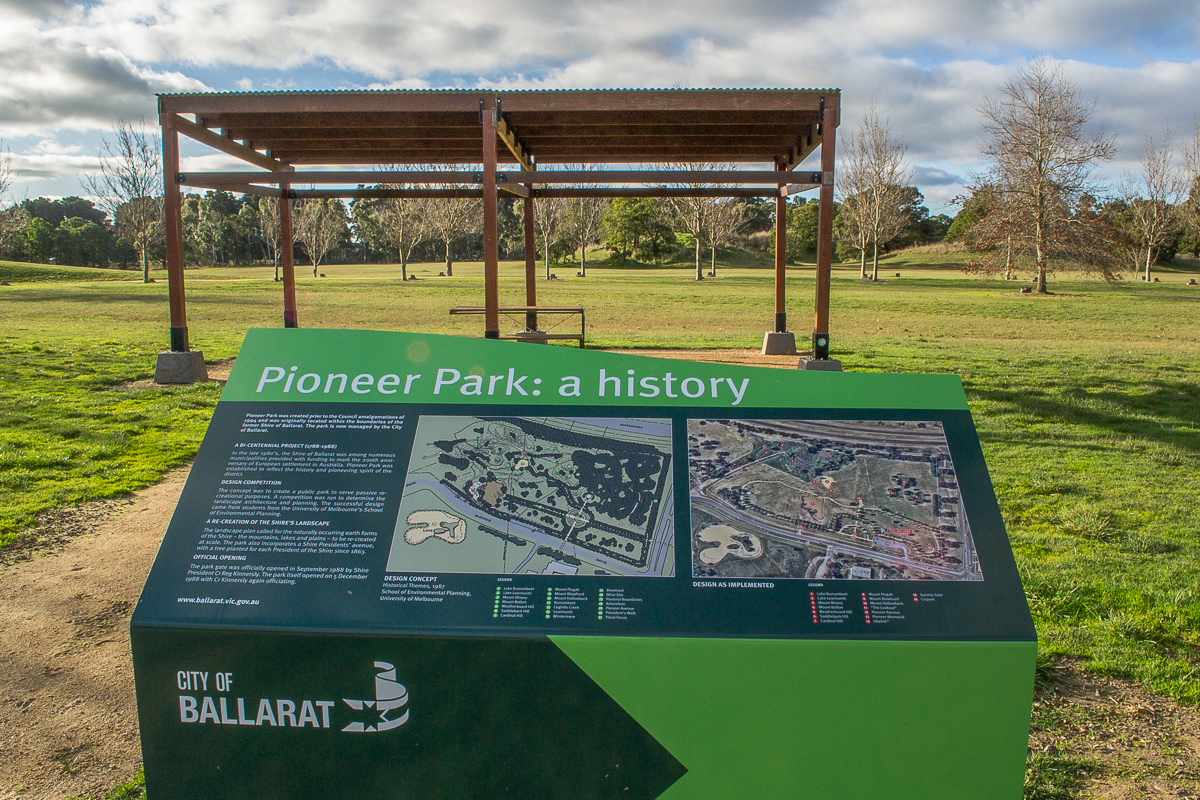
PIONEER PARK
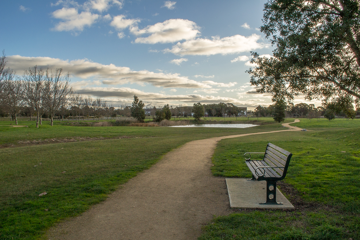
Pioneer Park was created prior to the Council amalgamations of 1994 and was originally located within the boundaries of the former Shire of Ballarat. The park is now managed by the City of Ballarat.
A BI-CENTENNIAL PROJECT (1788-1988)
In the late 1980's, the Shire of Ballarat was among numerous municipalities provided with funding to mark the 200th anniversary of European settlement in Australia. Pioneer Park was established to reflect the history and pioneering spirit of the district.
DESIGN COMPETITION
The concept was to create a public park to serve passive recreational purposes. A competition was run to determine the landscape architecture and planning. The successful design came from students from the University of Melbourne's School of Environmental Planning.
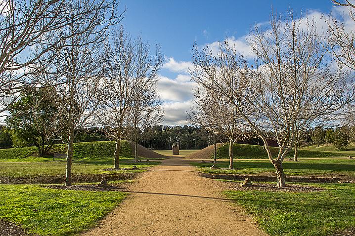
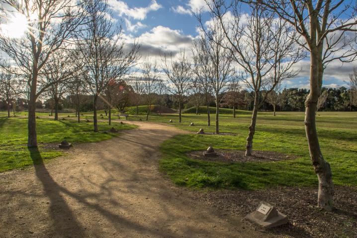
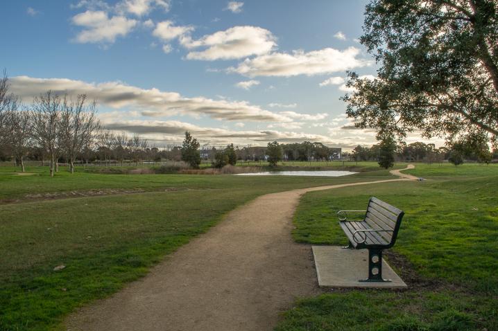
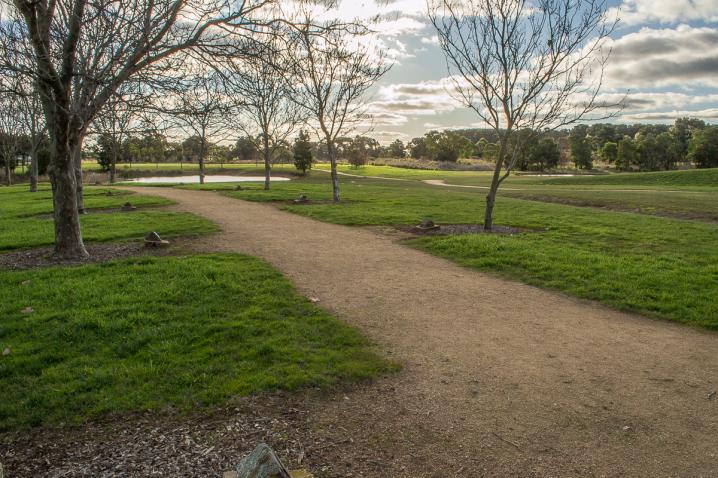
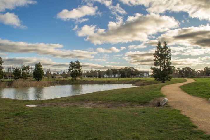
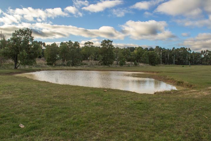
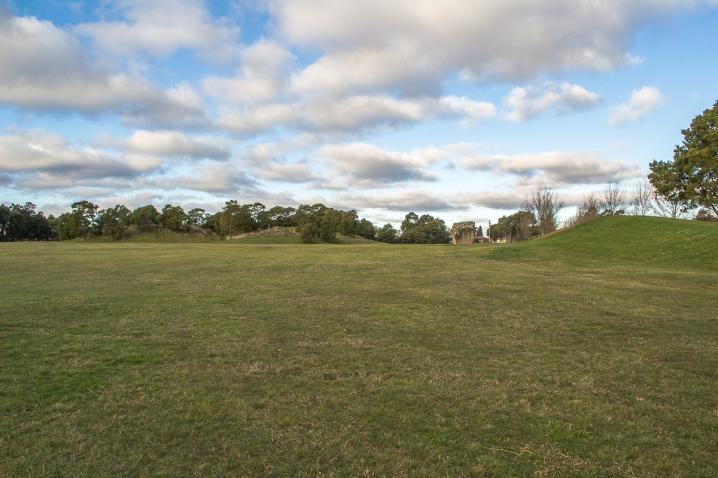
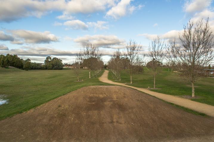
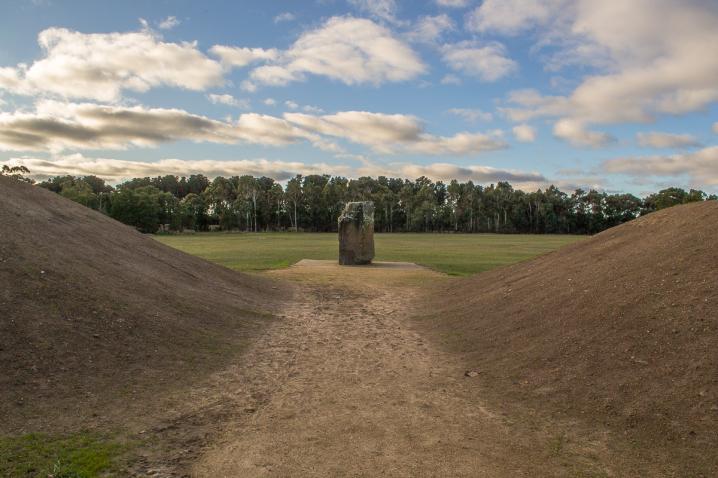
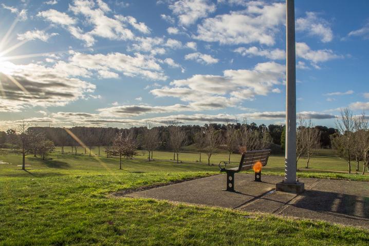
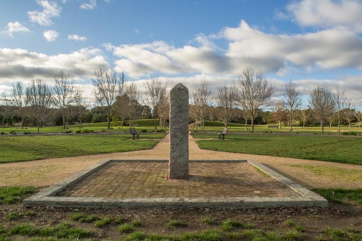
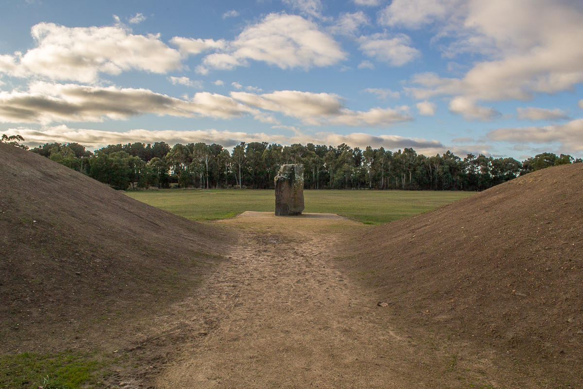
A RE-CREATION OF THE SHIRE'S LANDSCAPE
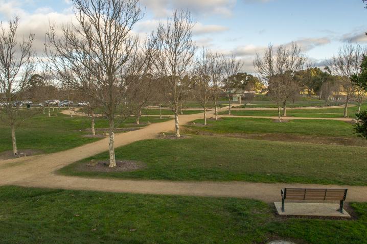
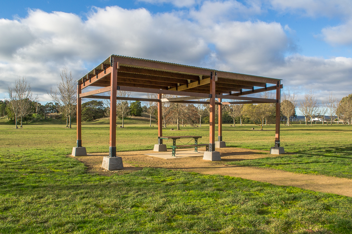
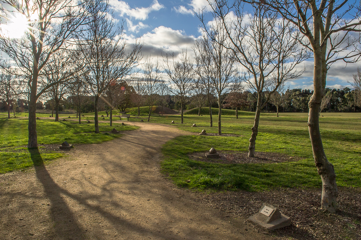
The landscape plan called for the naturally occurring earth forms of the Shire - the mountains, lakes and plains - to be re-created at scale. The park also incorporates a Shire President's avenue, with a tree planted for each President of the Shire since 1863.
OFFICIAL OPENING
The park gate was officially opened in September 1988 by Shire President Cr Reg Kinnersly. The park itself opened on 5 December 1988 with Cr Kinnersly again officiating.
DESIGN CONCEPT
Historical Themes, 1987
School of Environmental Planning, University of Melbourne.
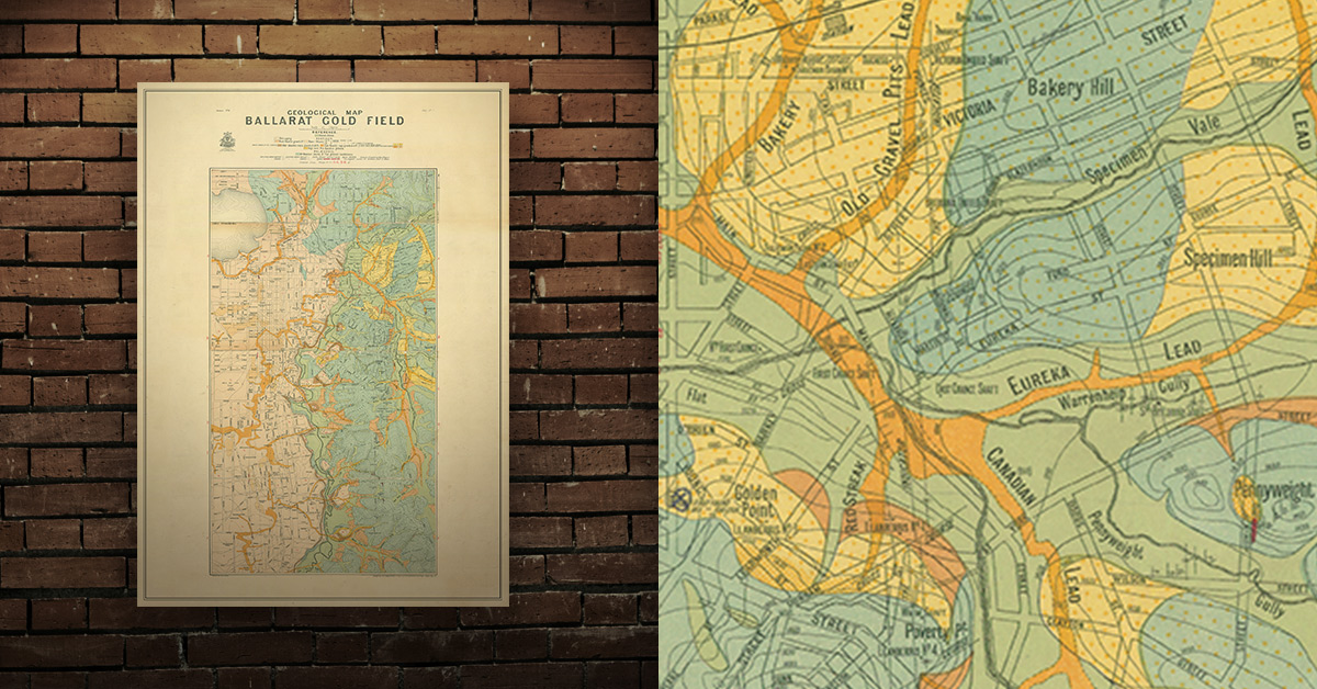
GEOLOGICAL MAP OF THE BALLARAT GOLD FIELD, 1917
Geological map of the Ballarat gold field which shows historical features in superb detail, including mine shafts/companies, reefs, leads, gullies/flats, and gold nugget discovery sites. High quality, durable A1 print in a satin finish. Large, 594 x 891 mm. Go to online shop.
SEE ALSO