


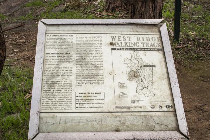
Mt Alexander Regional Park
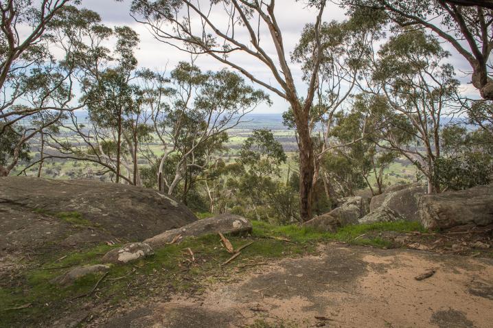
Mt Alexander Regional Park consists of 1400 hectares of forest situated on a large granite mountain 742 metres above sea level and about 350 metres above the surrounding area. Mt Alexander is approximately 30 kilometres south of Bendigo and is the highest, coldest and wettest area of the Bendigo region.
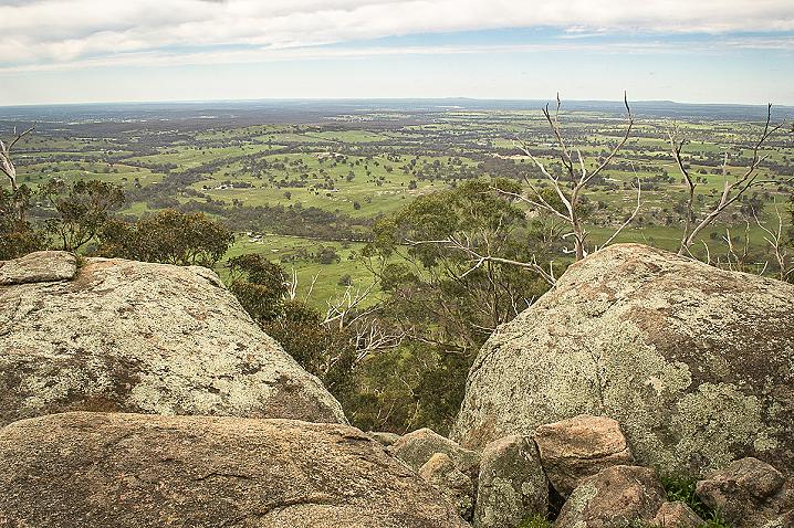
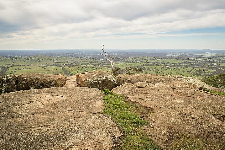
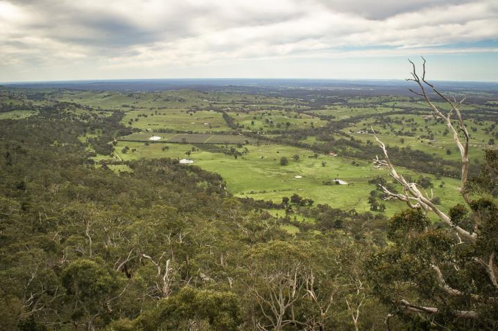
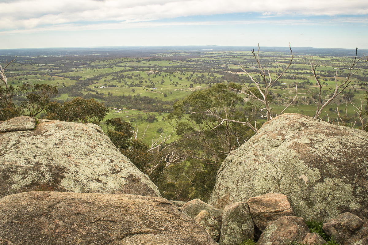
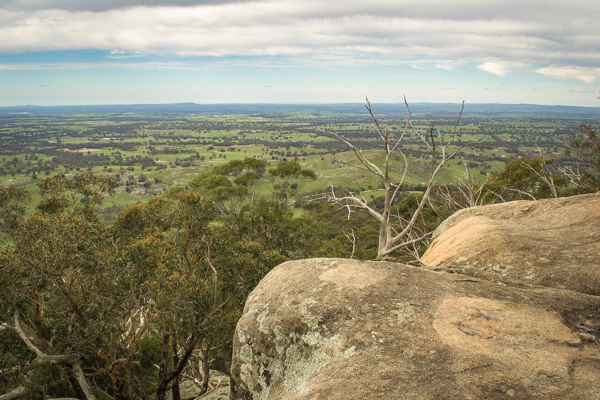
The sign also provides the following information about Lang's Lookout:
The Lookout provides a superb north-easterly view over the Sutton Grange farmland, Mt Ida, and Bendigo.
Map of the Castlemaine Mining District which shows historical features in superb detail, including mining divisions, reefs, gullies, and gold workings. Mining Department, Melbourne, 1860. High quality, durable A1 print in a satin finish. Large, 594 x 891 mm. Go to online shop.

