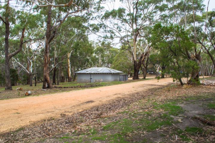
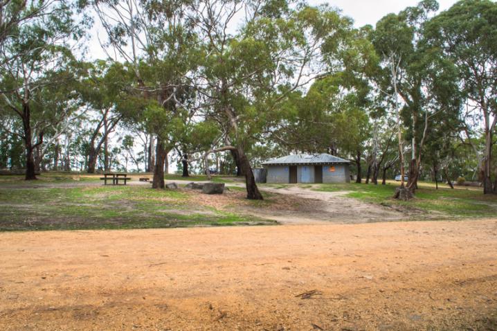
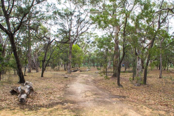
The Leanganook Campground is located off Joseph Young Drive in the Mount Alexander Regional Park.
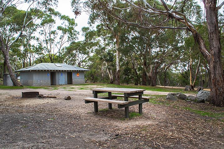
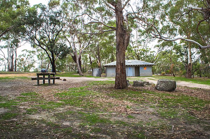
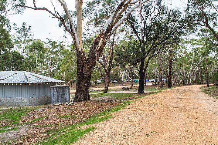
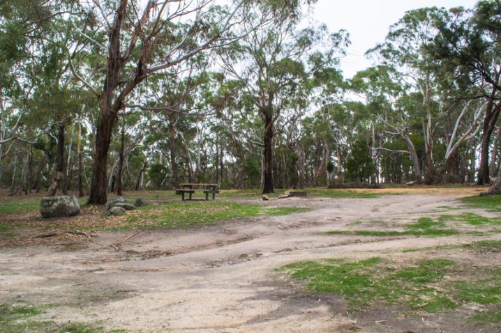
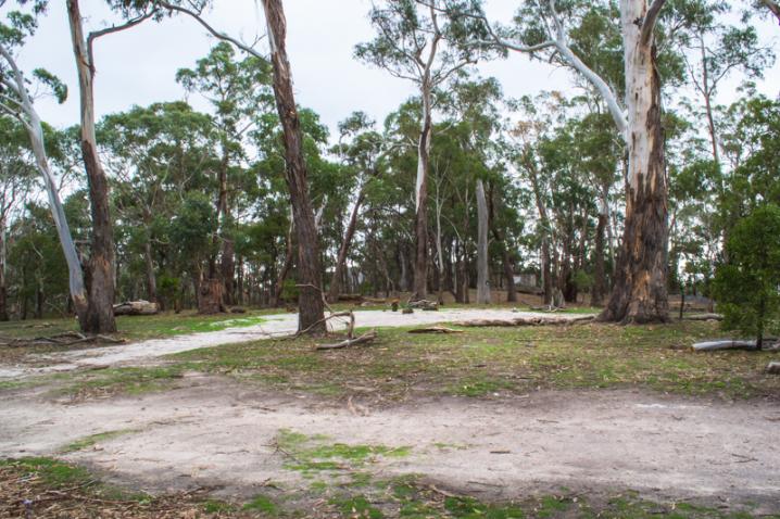
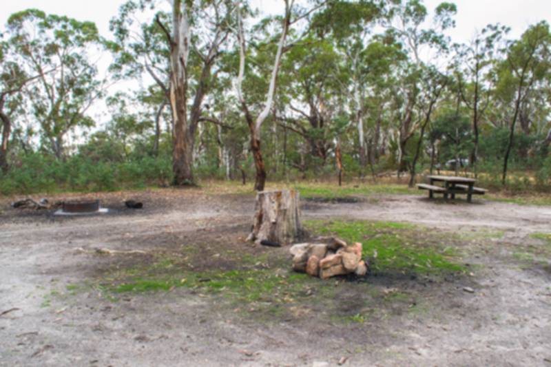
Multiple campsites are spread around the central picnic area, and facilities include picnic tables, wood fire barbecues, fire pits, toilets and water taps.
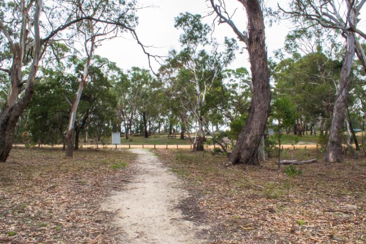
Visitors can enjoy the Mount Alexander Regional Park through picnicking, bushwalking and birdwatching.
The stunning
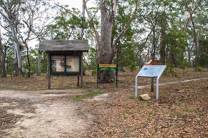
West Ridge Walking Track begins at Lang's Lookout and connects these lookouts in a four kilometre adventure across the mountain.
Explore the beautiful ruins of a
Silk Worm Farm while you're at Mount Alexander, they are located close to the campground.
The mountain was called "Lanjanuc" by the Jaara Jaara people, and it was important as a sacred ceremonial ground and a high vantage point.
The first European to climb the mountain was Major Thomas Mitchell in 1836.
Gold was discovered nearby in 1851 and news of the "Mount Alexander Diggings" swept the world!
It quickly became the richest shallow alluvial goldfield ever known in the world and experienced one of the largest gold rushes of the 19th century.
In the early 1850s the name "Mount Alexander" was used to refer to all the goldfields around what is now Castlemaine, but today is only the name for the mountain itself.
An information sign at the Leanganook Campground displays the following text, provided by the Department of Conservation & Environment and Parks Victoria:
MOUNT ALEXANDER REGIONAL PARK
Womin je ka - Welcome to Mt Alexander from the traditional owners, the Jaara Jaara people.
This land is home to the Jaara Jaara people, part of the Kulin Nation. The Jaara Jaara people and members of the Dja Dja Wurrung community still have strong links to the forests today.
About Mount Alexander Regional Park
Rising 350 metres above the surrounding area, Mt Alexander Regional Park, 1400 ha in size, lies within the harcourt granite intrusion which is estimated to be 367 million years old.
The park is a prominent landmark offering magnificent views and a natural forest setting for picnics and bushwalking.
Enjoying the park
Picnicking
Enjoy the natural beauty and surroundings here at Leanganook Picnic Ground
Lookouts
Walking
The West Ridge Walking Track is 4 km long and links the major lookouts and points of interest
Camping
Car based camping is permitted at Leanganook Picnic Area, while dispersed foot based camping is permitted throughout the park
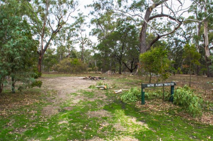
Plants and animals
The park has a native vegetation overstorey of Manna Gum, Messmate, Long-leaved Box and Yellow Box. Below the canopy are native grasses, herbs and wildflowers.
The rough barked vegetation and tree hollows on Mt Alexander provide habitat for the rare Brush-tailed Phascogale, a small, nocturnal animal growing to about 40 cm long including its black "bottle brush" tail.
Brush-tailed Phascogales feed on beetles, centipedes, spiders and will prey on small invertebrates.
The home range of the Brush-tailed Phascogale varies from 70 to 150 ha. It prefers open forest, not cleared land. Phascogales are preyed on by owls, kookaburras, goannas and also by foxes and cats.
Mount Alexander Regional Park is the only place in Australia where you can find the endangered Southern Shepherd's Purse (Ballantinia antipoda). It is a small, cool season annual plant that appears on moss mats growing over granite rocks in the park. It germinates in winter and flowers through August and September. There can be up to 200 Ballantinia plants per square metre and the flowers attract ants and bees. Habitat fragmentation is the greatest threat to Ballantinia survival.
You may see a koala in the upper branches of the Manna Gums with their distinctive smooth textures and hanging ribbons of bark. Other animals you may encounter are Black Wallabies, Eastern Grey Kangaroos, Echidnas, Brushtail and Ringtail Possums and Sugar Gliders.
HISTORICAL MAP OF THE CASTLEMAINE MINING DISTRICT, 1860
Map of the Castlemaine Mining District which shows historical features in superb detail, including mining divisions, reefs, gullies, and gold workings. Mining Department, Melbourne, 1860. High quality, durable A1 print in a satin finish. Large, 594 x 891 mm. Go to online shop.