Embark on an adventure across the stunning rocky outcrops of the Mount Alexander Regional Park! Experience breathtaking views and gorgeous scenery as you trek among the enormous granite boulders and across forested slopes, visiting multiple lookouts along the way.
Lang's Lookout is the best starting point for this walk, as it is mostly downhill in this direction. The walk can also be done in reverse, beginning at Leanganook Campground and ending at Lang's Lookout, but it will be an uphill walk in this case.
When taking this walk, you can organise for someone to pick you up when you reach Leanganook Campground, or you can turn around and make your way back to your car at Lang's Lookout (either by the walking track or along the road), making this an 8 km return walk.
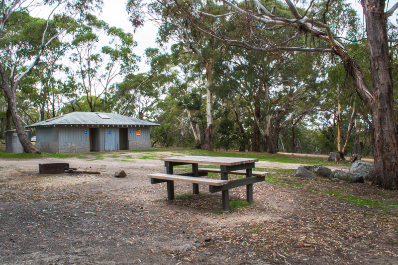
Free camping at Leanganook Campground
Leanganook Campground is a free campsite, no bookings required, with fantastic visitor facilities including wood fire barbecues, picnic tables, fire pits and toilets.
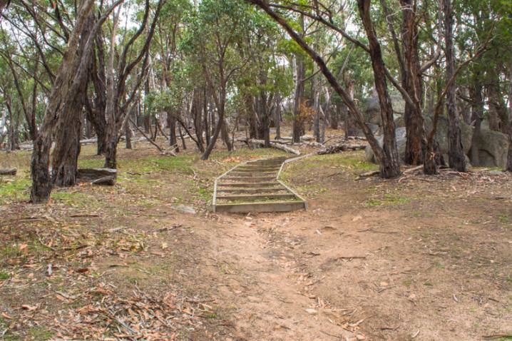
West Ridge Walking Track
- Distance (one way): 4 km, organise someone to pick you up at Leanganook Campground
- Distance (return): 8 km, turn around at Leanganook Campground and return to your car at Lang's Lookout
- Difficulty: Moderate
- Points of interest: Lang's Lookout, Shepherd's Flat Lookout, Dog Rocks, Leanganook Campground
A sign at Lang's Lookout provides the following text:
Mt Alexander Regional Park
Mt Alexander Regional Park consists of 1400 hectares of forest situated on a large granite mountain 742 metres above sea level and about 350 metres above the surrounding area. Mt Alexander is approximately 30 kilometres south of Bendigo and is the highest, coldest, wettest area of the Bendigo region.
West Ridge Walking Track
The West Ridge Walking Track has been reconstructed and an additional length added by The Smith Reid Mt Alexander LEAP team. The extension was completed over a six month period between March and September 1995.
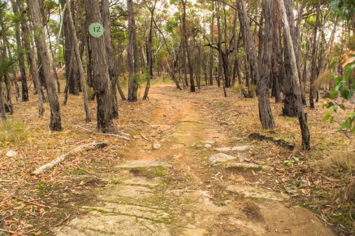
The track, 4 kilometres in length, is best started at Lang's Lookout as it is mainly down hill from there to the Old Koala Park (Leanganook Campground). The entire track can be completed as an enjoyable half day walk or small sections can be walked during alternate visits to the park.
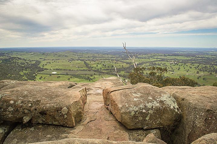
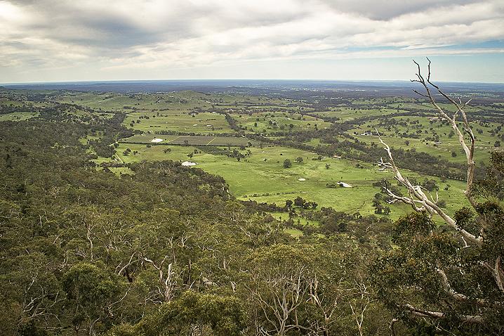
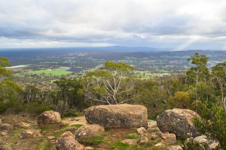
On arrival, a walk down the 100 metre track to Lang's Lookout is a must. The Lookout provides a superb north-easterly view over the Sutton Grange farmland, Mt Ida and Bendigo. Back at the car park the track heads west 800 metres to Shepherds Flat Lookout. This is an undulating walk through Messmate and Manna gum forest with the open native grass flat about 450 metres along the track. During this walk you are likely to hear the loud shrieks of Sulphur Crested Cockatoos, the calls of Kookaburras and the chatter of other native birds. The abundance of wildlife makes the chance of encountering kangaroos and wallabies extremely likely. On arrival at Shepherds Flat Lookout and arrow points up the hill to the lookout, the view from here is spectacular. Immediately below the mountain the small town of Harcourt can be observed, with Castlemaine in the depression further over to your left, and Maldon nestled in at the foot of Mt Tarrengower in the distance to your right.
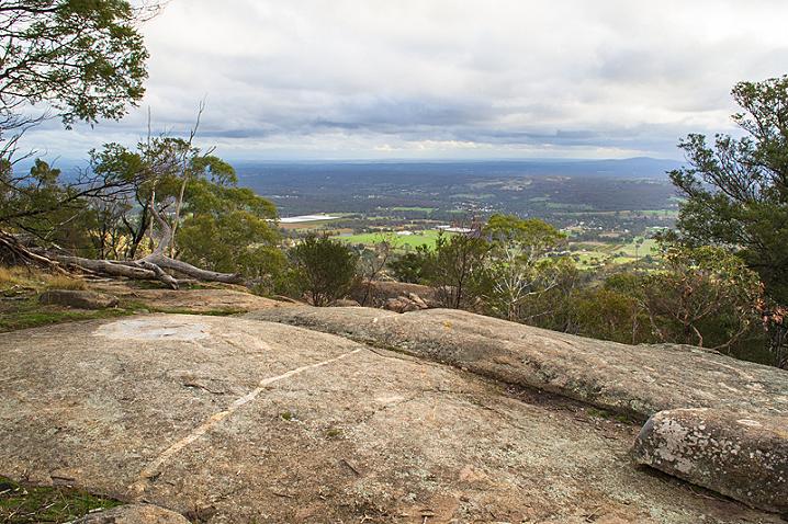
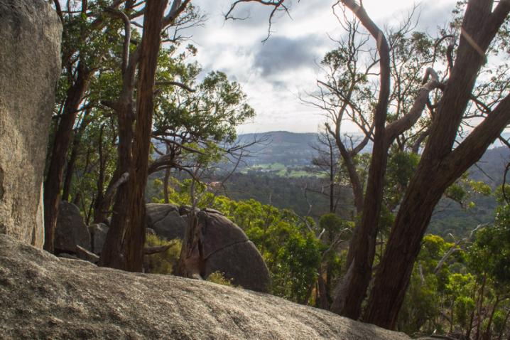
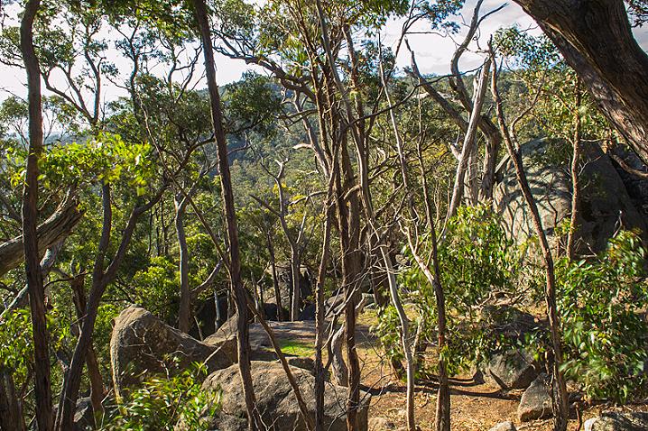
After savouring the views from Shepherds Flat the walk continues another 2 kilometres to Dog Rocks. The track meanders along the western ridge of Mt Alexander and patches of the surrounding countryside are framed by the forest trees. During this part of the walk you will see striking granite rock faces and boulders covered with intricate patterns of moss and lichen and rock ferns growing out from beneath the crevices. There are also many native birds, insects, and reptiles along this section of the track. Dog Rocks is located up the hill near the road and is popular with rock climbers.
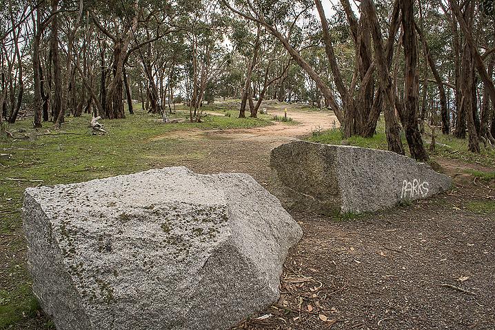
Once you have explored Dog Rocks, cross the road and continue down the hill along the fire access road until you see the pointed arrow and a track heading off to your right, this is located about 200 metres along. This is the final length of the track to The Old Koala Park (Leanganook Campground) through open bushland.