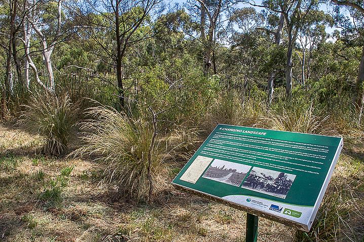


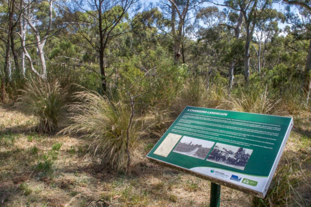
A CHANGING LANDSCAPE
During the late 1850's, a township grew up where the Loddon River crossed the road to the Jim Crow diggings. Stores and hotels were built to serve those passing through and those who lived in the area.
This township became known as Glenlyon after the original 'Glenlyon' run, taken up by Richard Babington in 1846. The farming potential of the area was quickly recognised. After the Land Act of 1860 came into being, closer settlement soon followed. Trees were felled and burned to clear the land as the Act required and a thriving sawmill industry started up, supplying timber or gold mines, buildings, roof shingles and firewood.
Wattlebark was harvested for the leather industry, and in later years, the smoke from charcoal burners' kilns could be seen throughout the forest. Farmers also burned off the stubble in their fields at the end of summer after the harvest. Settlement and changing land uses have dramatically shaped the landscape you see today. Take some time to reflect on the history of the township and look out for signs of times past that are still evident today.
The Glenlyon township and businesses set up along the Loddon River thrived throughout the goldrush, aided by the construction of the town's first wooden bridge in 1864. At its highest point, the road surface was 15m above the riverbed, quite a height in those days. The bridge was crossed for the first time by a Cobb & Co coach from Malmsbury on July 17, 1864.
Early photographs of the old Glenlyon Bridge show an overall lack of both vegetation and weeds. Whilst the construction of the bridge made travel to and from Glenlyon quicker and easier, it also aided the introduction and spread of invasive weeds to the area, a legacy of times past that continues to be battled today.
However, it was the discovery of gold in 1851 in Central Victoria that initiated in the most extensive timber harvesting in the region. The forests surrounding Glenlyon were exploited for saw milling and fire wood cutting over many years until the introduction in 1940 of State Government policy to control the rates of timber extraction and conserve dwindling timber resources.
THE FOREST OF THE FOOTHILLS
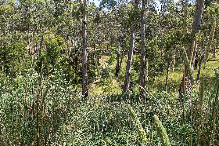
The landscape around Glenlyon has been shaped by many volcanic eruptions. Huge lava flows from these ancient volcanos poured along existing valleys, filling them in and creating the rolling countryside of red earth that we know today. Beyond the reach of the lava, the hills and rugged slopes of more ancient rock and clay were densely covered in tall forest, while the rich red soil of the volcanic plains was covered with tall grass dotted with shrubs such as bottlebrush and wattle.
In 1846 it took six weeks to travel from Melbourne to Glenlyon via Mt. Macedon. An early visitor described his visit to the area, "At that time there was only a shepherd's hut in Glenlyon and the reserve was covered in large gum and wattle trees but the flat on the Loddon was denuded of timber and the long grass made it difficult to get over. The grass was about 6 feet high and the only difficulty we had was finding our bullocks in the morning."
The rich volcanic soils and damp river valley around Glenlyon support a beautiful diversity of native vegetation which has been enhanced over time by revegetation projects and natural regeneration.
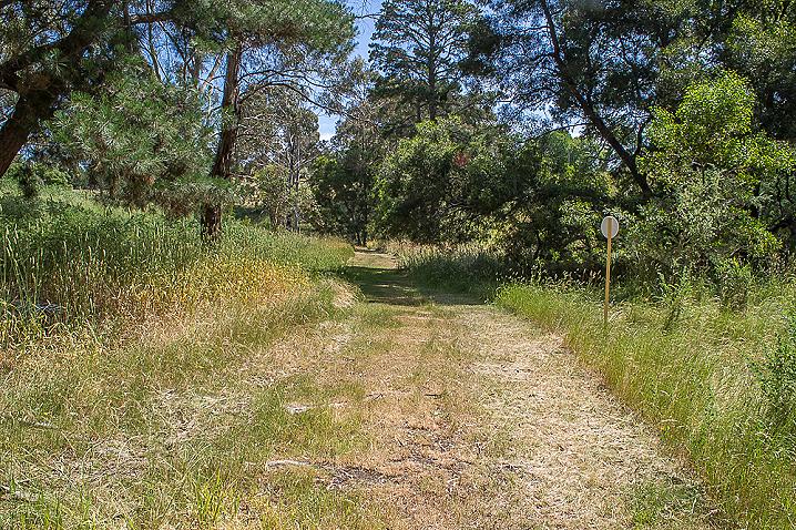
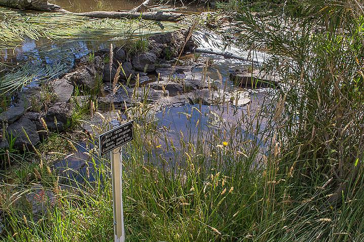
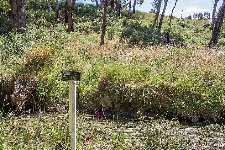
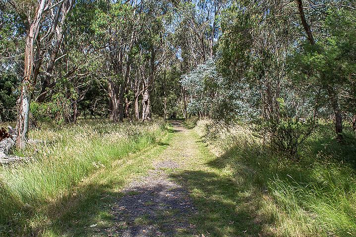
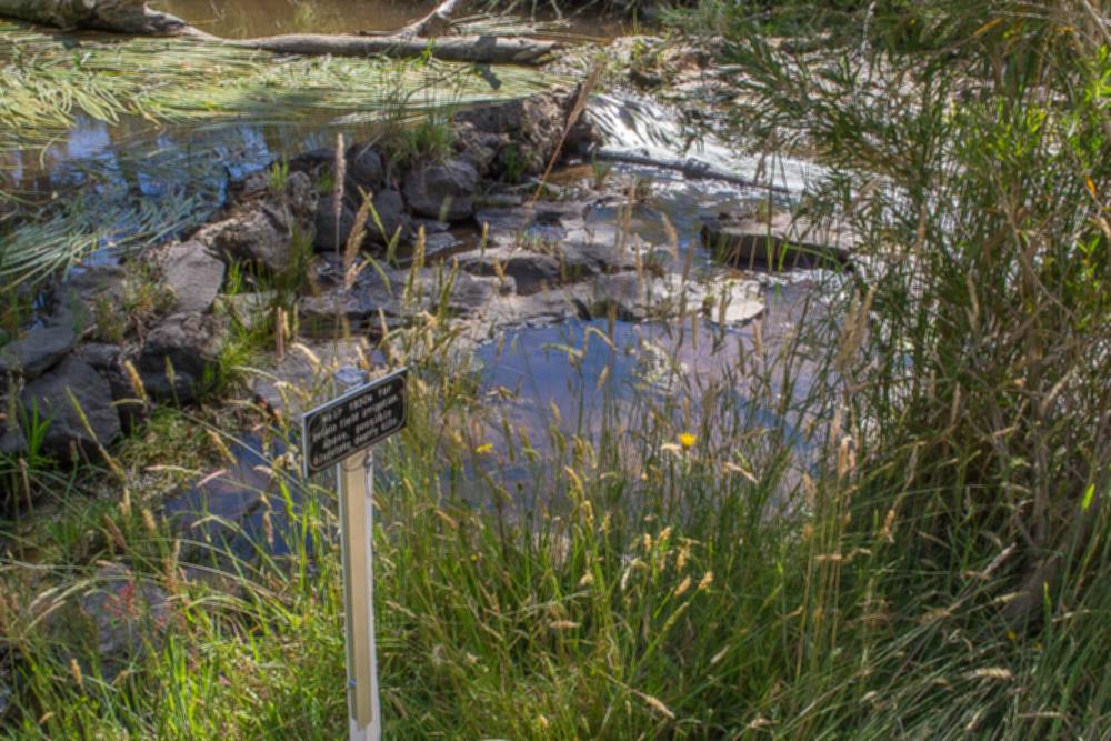
LODDON RIVER RESTORATION AND RECOVERY
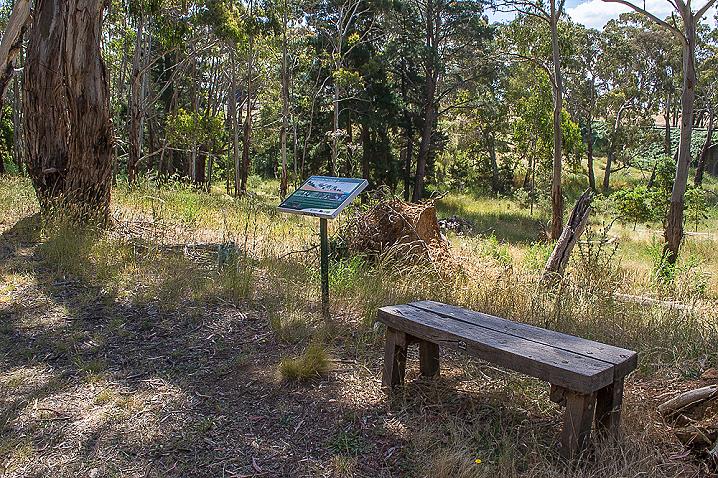
Birds of the bushland
The Biolink is a wonderful place which supports a bounty of birdlife. As this walk takes you through a range of habitat types you will come across a wide variety of birds. Take a moment to listen to the songs of the birds and the sounds of the bush.
Locals commonly observe the delightful Superb Fairywren bouncing around the ground excitably whilst the charismatic Laughing Kookaburra prefers to perch patiently in the trees above, searching for its next meal.
Birds bring the bush alive with their colours and songs but they also have a very important role to play in restoring and regenerating the local landscape. As birds move around they disperse seeds, pollinate flowering plants and predate pest insects that threaten native vegetation.
The Glenlyon Upper Loddon Landcare group formed in 1995 to deal with gorse, hawthorn, blackberries, bent grass, bracken and cape broom, rabbits, foxes and erosion. Glenlyon Landcare Group has been successful in obtaining grants from various land management agencies to control these noxious invasive weeds. The group has been very active since forming, supporting landowners to control weeds through chemical subsidies and loans of equipment, facilitating gorse and rabbit control programs and running many community field days to learn about managing our natural environment. In 1999 work to clean up the Loddon River in Glenlyon Township began in earnest. Glenlyon Landcare, along with Glenlyon Pony Club and Glenlyon Gun Club were successful in jointly obtaining a Parks Victoria community grant to control the gorse and noxious weeds on the south bank of the river, opposite the Glenlyon Reserve.
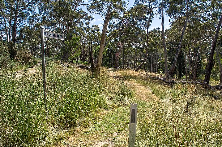
In the following years, with the support of the DSE, North Central CMA and Hepburn Shire Council, the Glenlyon Landcare group has extended the work along the river, cutting through the walls of blackberries and gorse to establish the Biolink, a walking path between the Glenlyon Reserve and the Glenlyon Bridge. Extensive replanting has replaced the noxious weeds and local birds and animals are returning to the site. This work is ongoing, as the area is prone to flooding and the regrowth of noxious weeds requires constant follow up. The floods in 2010-11 extensively damaged the work undertaken along the Biolink. The Glenlyon Landcare group has held many working bees to propagate plants, replant the site, maintain plantings and the track, follow up weed control and of course have some fun together. If you are interested in joining the Glenlyon Upper Loddon Landcare group, contact details can be found at the Glenlyon community website, www.glenlyon.vic.au
