

First Inhabitants
The NGURAI-ILLAM-WURRUNG PEOPLE
Corop is situated on the land of the Ngurai-illam-Wurrung people. Due to the absence of any known traditional owner group, responsibility for 'caring for country' is shared between present aboriginal communities: Yorta Yorta, Rumbalara and Bendigo Dja Dja Wurrung.
During settlement of the area by early pastoralists, the Ngurai-illam-Wurrung were swiftly dispossessed of their fertile lands. Extensive grazing seriously depleted the local flora and fauna and wiped out traditional food supplies.
The name Corop is believed to be a derivative of the aboriginal word corgarong, which means 'call of the brolga'. Lake Cooper was named paboinboolok meaning a 'shallow sheet of water, burrumboot means 'a high hill'.
In the past, the traditional landholders depended on their knowledge of the land, water and food resources available to them. Today's farmers and landholders also need this same knowledge and understanding to sustain the land entrusted to us.
White Settlement 1840 - 1900
Edward Curr is reputed to be the first white man through the area, taking up 250000 acres (100000 hectares) in 1840. The squatters reign lasted around 30 years with many divisions and much trading of the land. James Cowper was the first resident, taking up the Burrumboot Station in 1841 and where the name for Lake Cooper originated.
The 1850s saw the first vineyards in the area, however most farming was sheep or cattle at this time. As with most small towns in Victoria, Corop was a stop-over between larger towns in the days when horses were the main means of transport.
A post office was established in 1868 and a school soon followed. Corop rapidly expanded into a bustling community so much so that it is said that serious consideration was given to the railway coming to Corop rather than through Elmore (then Runnymede) and then on to Rochester when the lines were established in 1874.
In 1869 the Grant Act allowed the Selectors to move into the area, many from the Victorian Goldfields. Pioneering families such as Furphy, Stevens, Dutton, Speers and Kerlin still have descendants residing in the area.
Late in the 1800s Corop had seven hotels, post office, butchers, bakers, harness makers, stores, hardware merchants, flour mills, police station, bank, two saleyards, hall, library, racecourse and several churches. Of course other businesses such as stables and feed stores for the many horse drawn vehicles abounded. Most of the original town buildings have been destroyed or removed.
Corop West also had its own settlement around a school, post office and the grand two storey Marktree Hotel.
The 1900s
Corop remained an important service centre for the first few decades of the 1900s.
The Mara family ran the Mara Hotel early last century. Centenarian son, Reg Mara, gave an account of a bustling business centre and his recollections of the streetscape in the 1920s is depicted below.
Nearby Lake Cooper was a popular attraction for swimming, family picnics, & later speedboats, but it was also once renowned for rowing regatta's, sailing and beauty pageant's.
With the advent of the automobile and better roads and transport services, Corop became less necessary for a stopover, like many other small towns in country Australia. The decline of business and hence public facilities was subsequently quite rapid. Buildings became residences, were demolished or became farm buildings. The primary school closed in 1983 and the last church to close its doors was the Presbyterian Church.
Agriculture continued to thrive but without reason to congregate, the locals of Corop had decreased opportunity for social contact and networks broke down. The sporting clubs that had provided outlets for the locals, such as football, cricket and racing, all folded and the last tennis team ceased playing in 2000.
With the new millenium came renewed efforts to bring progress into the community of Corop. The Corop Community Action Group was formed and now the rest is history.
Corop Today
Corop may appear to be a sleepy little hamlet where nothing ever happens. Certainly the hustle of larger communities is something far removed and indeed now firmly in Corop's past - but that's what makes Corop such a great place to live.
A vital agricultural industry is quite evident in the Corop area. With the warmer climate, moderate rainfall (approx. 450 mm or 18 inches annually), fertile soils and irrigation from the Waranga Channel, Corop provides an abundant harvest. Wines produced in the rich red Cambrian soils from the northern end of Heathcote Wine Region are winning awards world-wide.
Due to the heavy grey loams of the plains, Corop is one of the largest producers of factory tomatoes in Victoria - some farms are capable of harvesting 700 tonnes per day! Traditional cropping, beef, wool and fat lambs remain the stable pursuit of the majority of farms.
A broad range of water sports and activities are enjoyed in the Corop Wetlands. Corop is the home of the Victorian Water Ski Association and meets the need for speed, whilst others go birdwatching, walking or fishing.
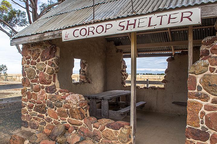
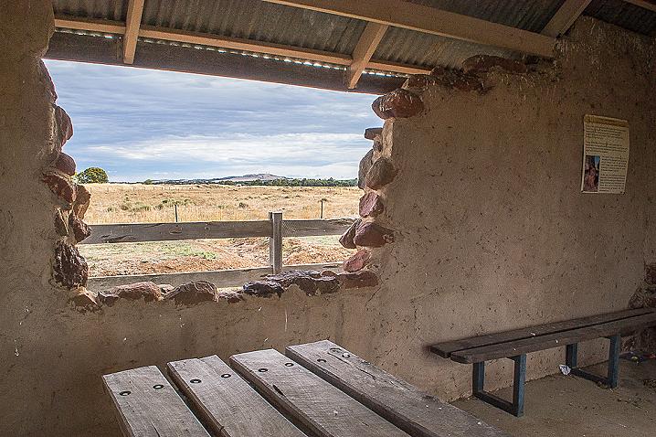
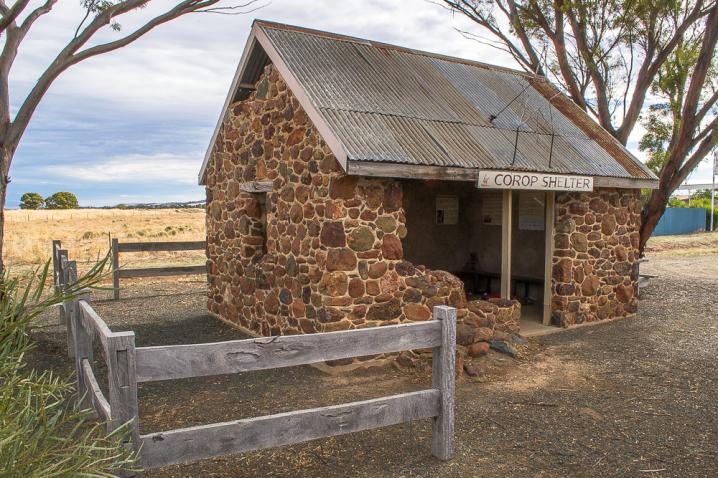
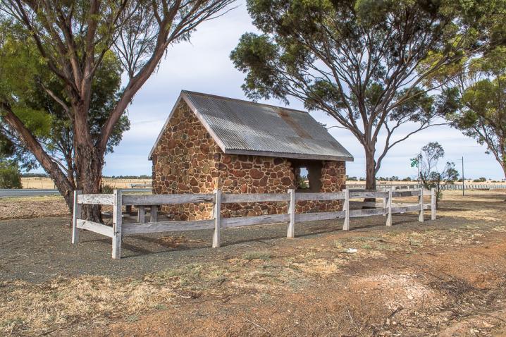
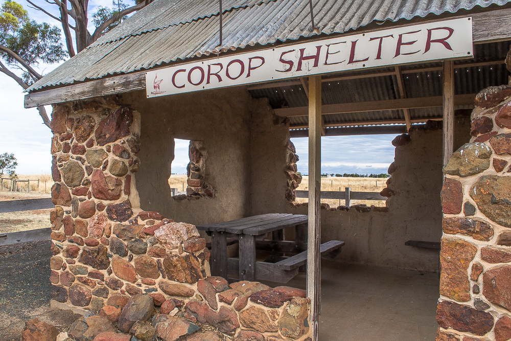
The Corop community are willing workers when it comes to enhancing the environment and building pride The shelter you stand in is a community project, as is the nearby walking track and revegetation works. More and more social functions are being held and the Corop Newsletter is widely circulated.
Yes, to many Corop may appear a sleepy town, but to us it's home.
Natural Beauty
Corop is an area of great natural beauty, nestled between the picturesque Mount Camel Range and a series of nationally significant wetlands.
The Mount Camel Range runs for around 30 km with the major peaks being, Mt Camel in the south (near Tooleen) and Mt Burramboot in the north.
The Corop Wetlands comprise a series of 10 main wetlands which run north-south for 30km and cover an area of over 3000 hectares, starting at the Mansfield Swamp in the north through to One Tree Swamp in the south. Both Lake Cooper and Greens Lake have been popular for recreational activities.
FLORA
Scattered remnant trees occur on the crest of the northern end of the Mt Camel Range. Two significant flora reserves in the area are the 250 hectare Runnymede Flora Reserve and the Corop Cemetery. Nationally endangered species such as the Downy Darling Pea (Swainsona swainsonoides) and Red Swainson Pea (Swainsona plagitropis) are found in the numerous wetland and roadside grassland remnants. Stiff Groundsel (Senecio behrianus), recorded as extinct in Australia, was recently rediscovered as existing only in Corop.
FAUNA
The Corop Wetlands are a haven for a huge variety of local and migratory waterbird species. Brolga frequent these wetland areas and breed when wetlands are full. Along with the diverse variety of waterbird species, other animals found in the area include: Squirrel Glider, Swift Parrot, Grey Crowned Babbler, Bush Stone Curlew, Woodland Blind Snake, Tree Goanna and Powerful Owl, to name a few.
GEOLOGY
The ridge of the Mount Camel Range comprises of silicified Cambrian shale and basic volcanic rocks (Greenstones). To the west of the main ridge is a secondary range of Ordician sedimentary rocks. The gentle slopes and plains west of the range comprises of Palaeozoic sediments, while the plains to the east are derived from alluvial sediments.
