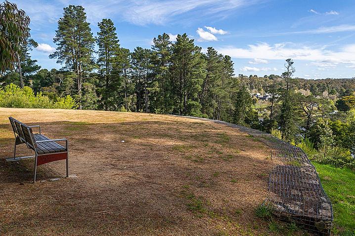
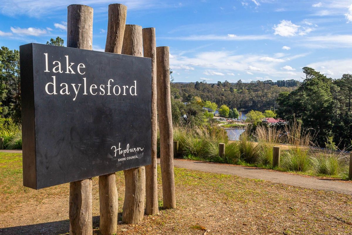
This lookout is also the trailhead of the epic 87 km Lerderderg Track, which begins here in Daylesford and traverses the top of the Great Dividing Range, ending in Bacchus Marsh.
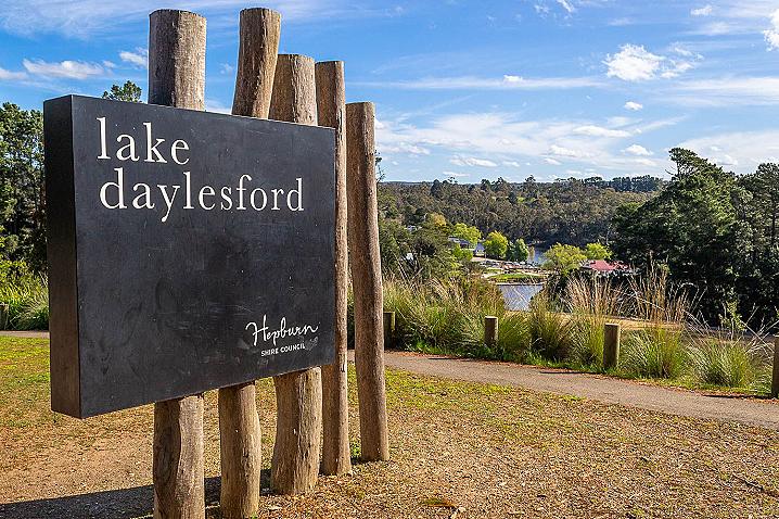
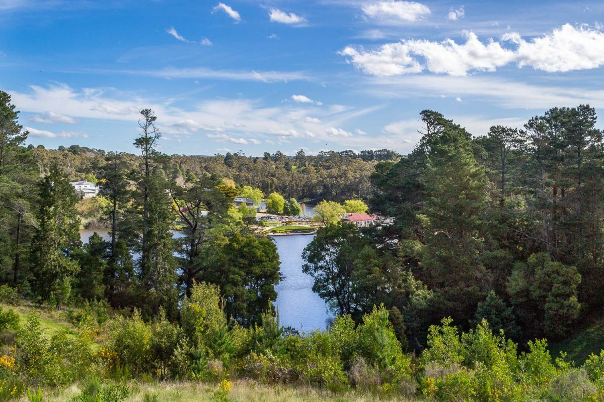
History of Lake Daylesford
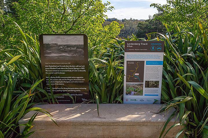
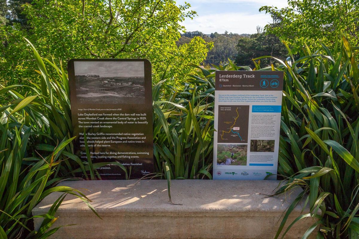
Information signs at the lookout display the following text:
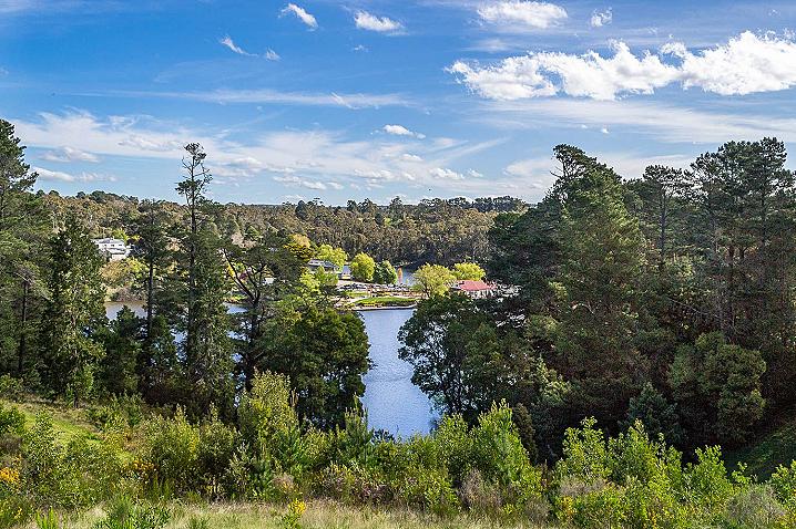
Lake Daylesford was formed when the dam wall was built across Wombat Creek aboe the Central Springs in 1929. The town wanted an ornamental body of water to beautify the scarred creek landscape.
Walter Burley Griffin recommended native vegetation along the western side and the Progress Association and local schools helped plant European and native trees in other parts of the reserve.
Crowds flocked here for diving demonstrations, swimming competitions, boating regattas and fishing events.
Walking track from Lake Daylesford
Information signs at the lookout display the following text:
Lerderderg Track 87km
You are at the norther trailhead of the Lerderderg Track. Part of the 300 km long Great Dividing Trail Network, the Lerderderg Track traverses the top of the Great Dividing Range.
Follow the Lerderderg Track's blue street signs south-east then blue-topped posts when you enter the bush.
You can buy a map from the Daylesford Information Centre or shop online: www.gdt.org.au
A shared use track for mountain bikers, trail runners and walkers, the track is classified as remote. It includes some of the wildest and most rugged landscapes close to Melbourne.
Proclaimed a Heritage River, the Lerderderg River is the dominant feature of the Track, ranging from ferny, pebble strewn stretches through to rugged gorge country.
The first half of the track to Blackwood is through striking tall forest. As you travel south, you are following a declining rainfall gradient.
A cool and damp fern-lined river gives way to drier stringybark and box forest.
At the gorge mouth are rare examples of exposed rocks that were laid down 300 million years ago.
From there, it's a suburban walk or ride into Bacchus Marsh with the track ending at the railway station.