


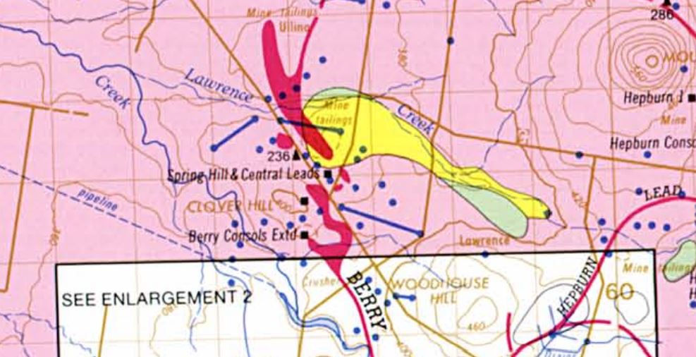
The Spring Hill and Central Leads Company, near Smeaton, in the sinking of their main shaft, which work is being carried on, discovered, at a depth of 295 feet from the surface, in hydrothermal deposit and basaltic boulders, a petrified bone, which was exhibited at the office of the manager (Mr JJ. H. Dill). Subsequently it was forwarded to the Minister of Mines, who submitted it to Mr C. W. De Vis, Palaeontologist of the Queensland Museum, Brisbane. Mr De Vis has sent the following communication regarding it, a copy of which Mr Dill received yesterday morning:-
Queensland Museum,Brisbane, 30th June, 1896.
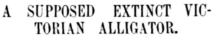
To Honorable the Minister of Mines, Victoria. Sir, - You do me the honor to ask in your letter numbered S96 | 3657 in the margin my opinion of the sample accompanying it. Beyond question it is part of a fossil bone. Its mode and state of preservation, in which respects it is identical with the majority of Queensland fossils of the earlier Nototherian period (generally assumed to be post-tertiary, but very possibly tertiary), lead me to refer it without hesitation to that period. The bone is pronouncedly reptilian in character, but it is not from one of the great land lizards of its age, nor is it from a chelonian. It has the general aspect of the upper portion of a tibia (shank-bone) of a crocodilian, and is in fair agreement with the corresponding parts of the tibia of the living crocodile (crocodilus povosus); but at the same time its distinctness is very patent. As at the present time but one post-tertiary crocodilian is known, the alligator, pallymnarchus pollens. I conclude provisionally that it belonged to that animal. I purpose, with permission, to retain the specimen for a time in the hope that other parts of the skeleton may be found in the same deposit. - Yours &c.,(Signed) C. W. De Vis.
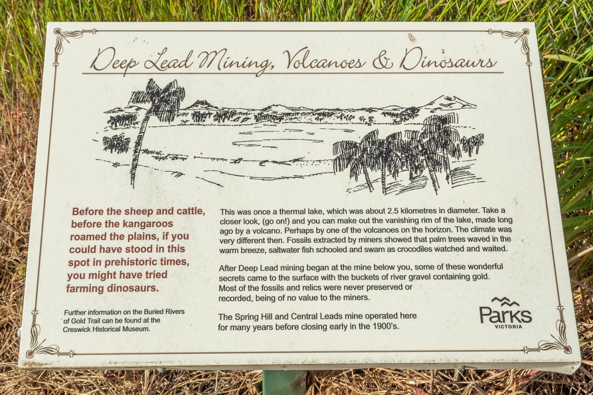
Deep Lead Mining, Volcanoes & Dinosaurs
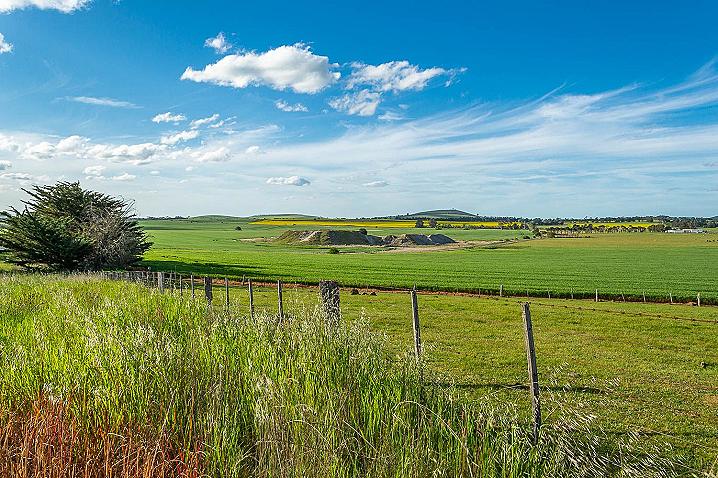
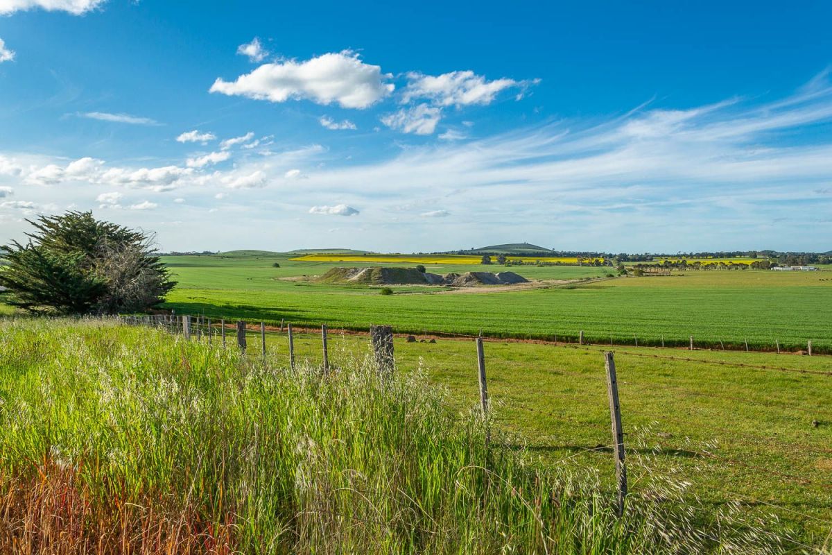
Before the sheep and cattle, before the kangaroos roamed the plains, if you could have stood in this spot in prehistoric times, you might have tried farming dinosaurs.
This was once a thermal lake, which was about 2.5 kilometres in diameter. Take a closer look, (go on!) and you can make out the vanishing rim of the lake, made long ago by a volcano. Perhaps by one of the volcanoes on the horizon. The climate was very different then. Fossils extracted by miners showed that palm trees waved in the warm breeze, saltwater fish schooled and swam as crocodiles watched and waited.
After Deep Lead mining began at the mine below you, some of these wonderful secrets came to the surface with the buckets of river gravel containing gold. Most of the fossils and relics were never preserved or recorded, being of no value to the miners.
The Spring Hill and Central Leads mine operated here for many years before closing early in the 1900's.
Further information on the Buried Rivers of Gold Trail can be found at the Creswick Historical Museum.
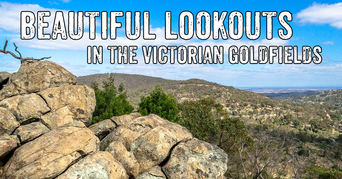
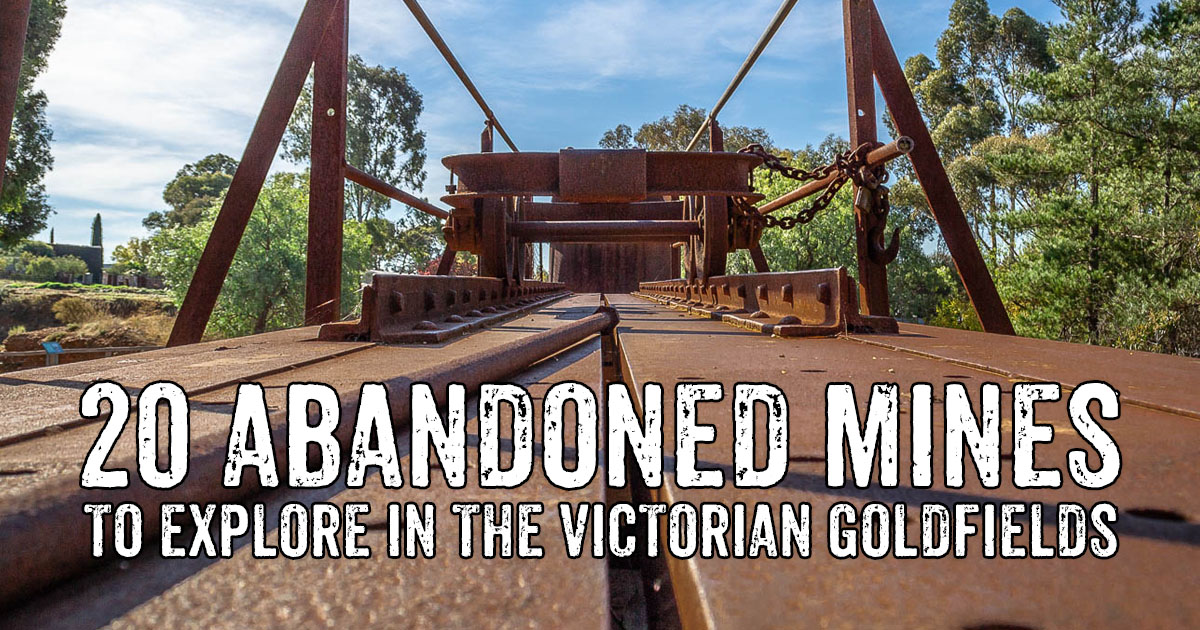
Evidence of the 19th century gold rush can be found throughout the Victorian goldfields in the form of abandoned mine shafts and tunnels, mullock heaps, buildings and ruins, puddling machines, remains of cyanide vats, and quartz kilns.
