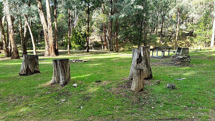
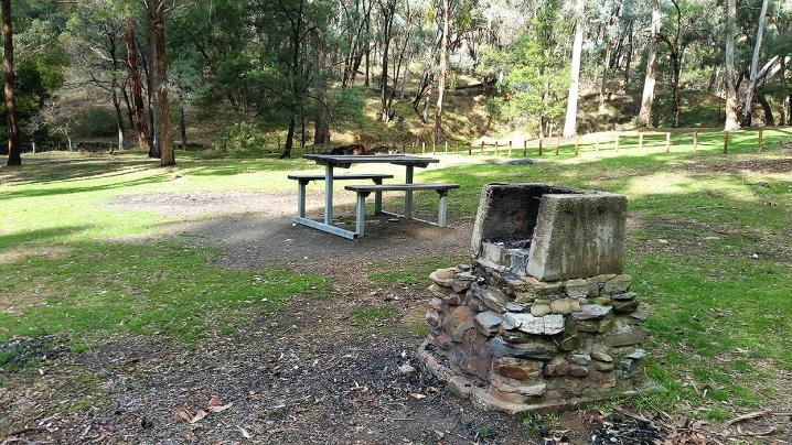
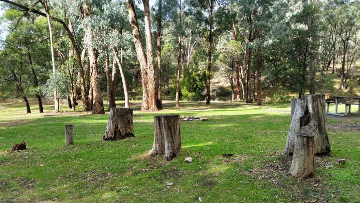
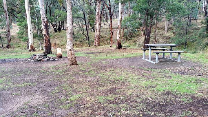
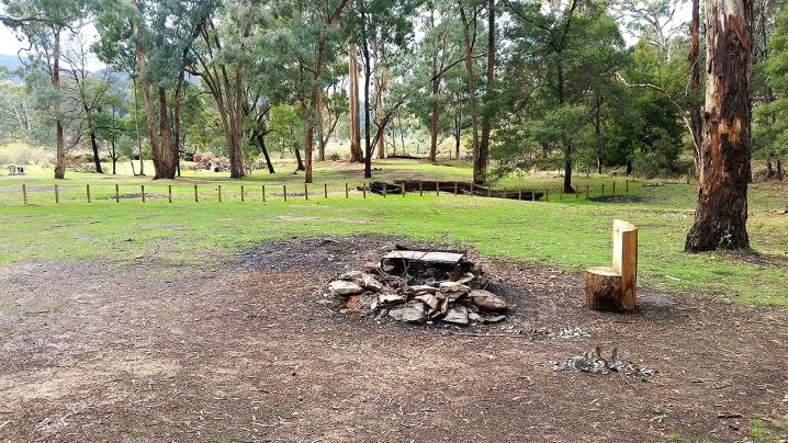
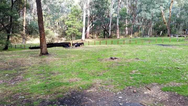
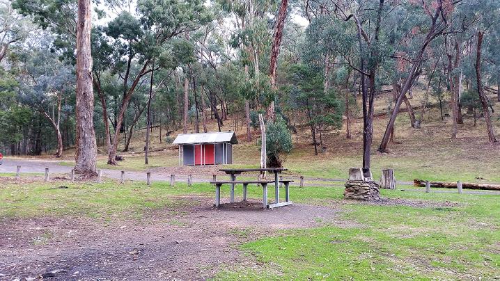
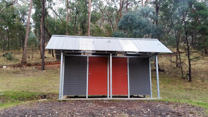
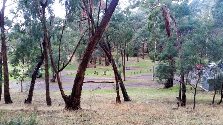
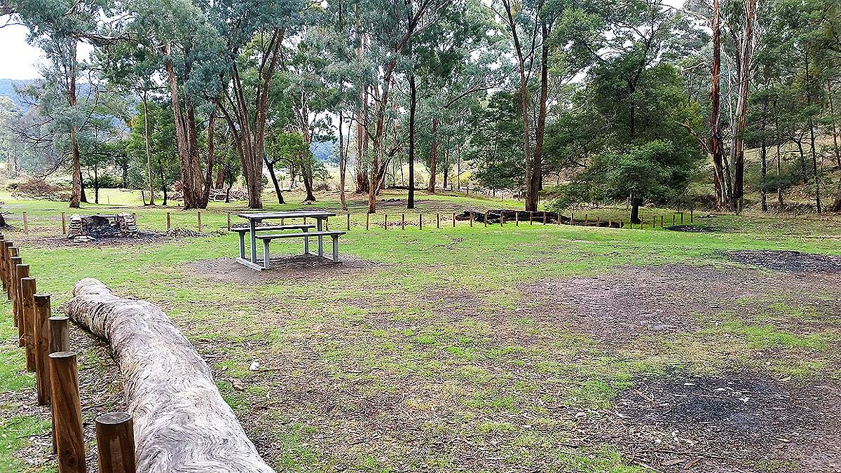
Free camping at Waterfalls Campground
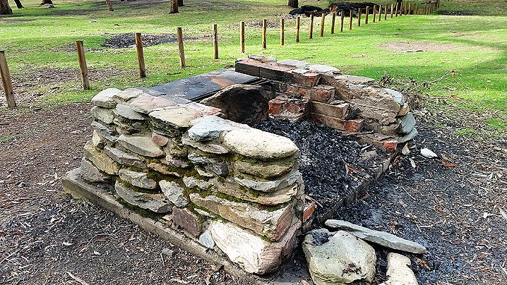
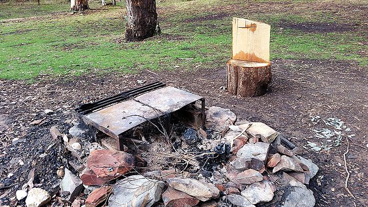
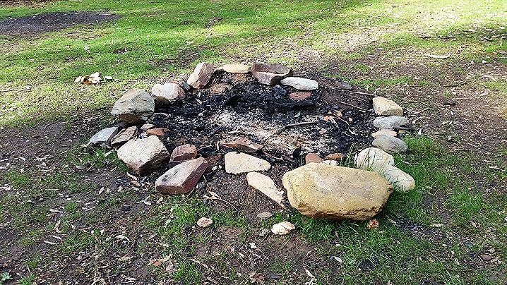
The campsite offers several large areas of flat, clear, grassy ground. There are picnic tables, wood fire
barbecues, fire pits, toilets and an interesting information sign.
The forest surrounding the Waterfalls Campground is excellent for 4wd and trail bike riding.
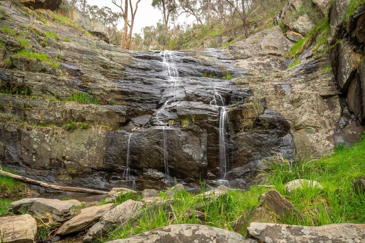
AVOCA FALLS
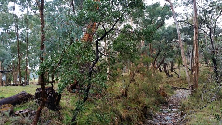
The walk to Avoca Falls begins here at the Waterfalls Campground, and is an easy 500 m walk alongside a creek.
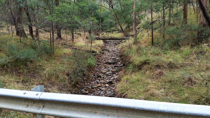
The walking track is narrow and uneven in places, travelling upstream along Number Two Creek. This creek is seasonal, but the walk is scenic with or without water flowing.
Follow the track right to the base of the waterfall.
WALKING TRACKS
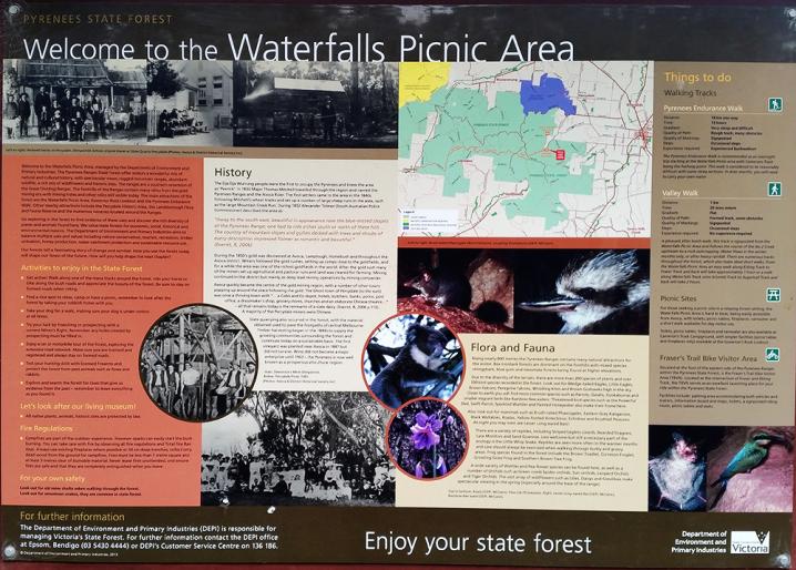
The following text is displayed on an information sign at the Waterfalls Campground:
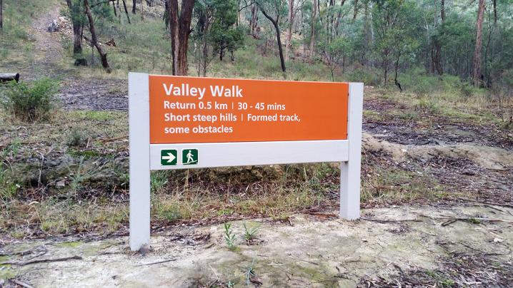
Valley Walk (Avoca Falls)
- Distance: 1 km
- Time: 20 mins return
- Gradient: Flat
- Quality of path: Formed track, some obstacles
- Quality of markings: Signposted
- Steps: Occasional steps
- Experience required: No experience required
A pleasant after lunch walk, this track is signposted from the Waterfalls Picnic Area and follows the course of the No. 2 Creek upstream to a
rock outcropping. Water flows in the winter months only, or after heavy rainfall.
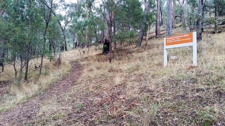
Pyrenees Endurance Walk
- Distance: 18 km one way
- Time: 13 hours
- Gradient: Very steep and difficult
- Quality of path: Rough track, many obstacles
- Quality of markings: Signposted
- Steps: Occasional steps
- Experience required: Experienced bushwalkers
The Pyrenees Endurance Walk is recommended as an overnight trip starting at the Waterfalls Picnic Area with Camerons Track being the halfway point. This walk is considered to be considerably difficult with some steep sections. In drier months, you will need to carry your own water.
Other walks
There are numerous tracks throughout the forest, which also make ideal short walks. From the Waterfalls Picnic Area an easy walk along Ebling track to Fraser Track and back will take approximately 1 hour or a walk along Waterfalls Track onto Schmidt Track to Sugarloaf Track and back will take 2 hours.
Attractions nearby
More information for the area
The following text is displayed on an information sign at the Waterfalls Campground:
Picnic sites
For those seeking a picnic site in a relaxed forest setting, the Waterfalls Picnic Area is hard to beat, being easily accessible from Avoca, with toilets, picnic tables, fireplaces, rainwater and a short walk available for day visitor use.
Toilets, picnic tables, fireplaces and rainwater are also available at Cameron's track Campground, with simpler facilities (picnic tables and fireplaces only) available at the
Governer Rock Lookout.
Fraser's Trail Bike Visitor Area
Situated at the foot of the eastern side of the Pyrenees Ranges within the Pyrenees State Forest, is the Fraser's Trail Bike Visitor Area (TBVA). Located at the intersection of Fraser and Ebling Track, the TBVA seres as an excellent launching place for your ride within the Pyrenees State Forest.
Facilities include: parking area accommodating both vehicles and railers, information board and maps, toilets, a signposted riding route, picnic tables and seats.
FLORA AND FAUNA
Rising nearly 800 metres the Pyrenees Ranges contains many natural attractions for the visitor. Box-Ironbark forests are dominant on the foothills with mixed species stringybark, blue gum and messmate forests being found at higher elevations.
Due to the diversity of the terrain, there are more than 200 species of plants and over 100 bird species recorded in the forest. Look out for Wedge-tailed Eagles, Little Eagles, Brown Falcons, Peregrine Falcons, Whistling Kites and Brown Goshawks high in the sky. Closer to earth you will find more common species such as Parrots, Galahs, Kookaburras and smaller migrant birds like Rainbow Bee-eaters. Threatened bird species such as the Powerful Owl, Swift Parrot, Speckled Warbler and Painted Honeyeater also make their home here.
Also look out for mammals such as Brush-tailed Phascogales, Eastern Grey Kangaroos, Black Wallabies, Koalas, Yellow-footed Antechinus, Echidnas and Brushtail Possums. At night you may even see Lesser Long-eared Bats!
There are a variety of reptiles, including Striped Legless Lizards, Bearded Dragons, Lace Monitors and Sand Goannas. Less welcome but still a necessary part of the ecology is the Little Whip Snake. Reptiles are seen more often in the warmer months and care should always be exercised when walking through bushy and grassy areas. Frog species found in the forest include the Brown Toadlet, Common Froglet, Growling Grass Frog and Southern Brown Tree Frog.
A wide variety of Wattles and Pea flower species can be found here, as well as a number of Orchids such as Green-comb Spider-orchids, Sun-orchids, Leopard Orchids and Tiger Orchids. The vast array of wildflowers such as Lilies, Daisys and Grevilleas make spectacular viewing in the spring (especially around the base of the range).