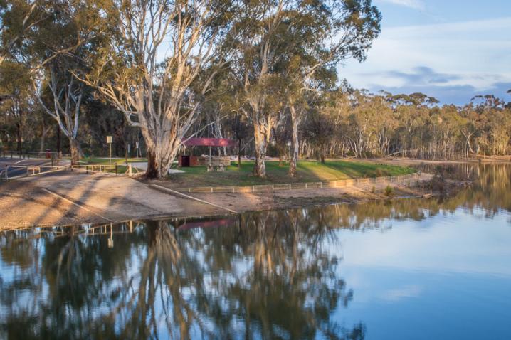
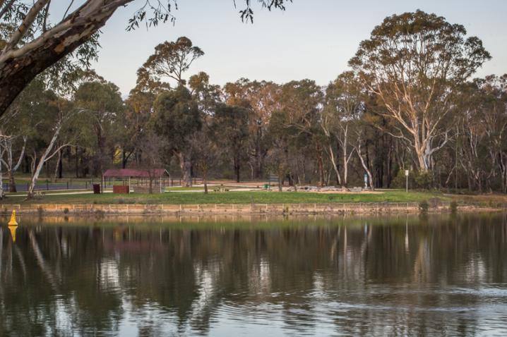
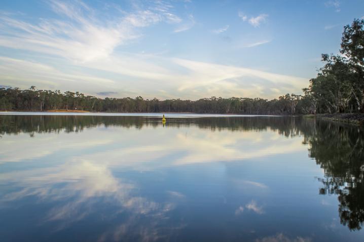
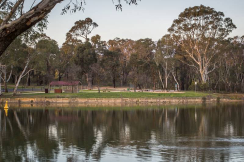
Goldfields Reservoir is a peaceful lake on the outskirts of Maryborough which features a picnic area, nature playground, and a scenic walking track. This is a popular spot for swimming, fishing, picnicking and bushwalking.
Picnics and barbecues at Goldfields Reservoir
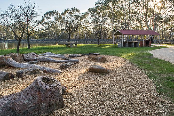
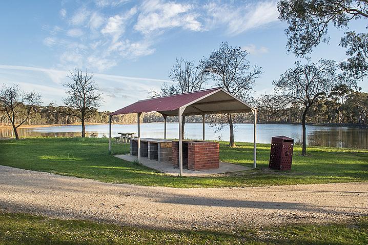
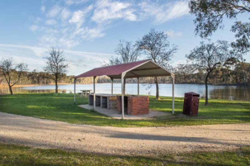
There are three picnic areas, one by the main car park (with a wood fire BBQ), another part way around the walking track to the left (wood fire BBQ), and one more part way around the walking track to the right (electric BBQ, 20c coin operated).
There are picnic tables in all three picnic areas. Rubbish bins are available in the main picnic area and the one to the right of the lake. The electric BBQ picnic area is also accessible via Maryborough-Ballarat Road.
Toilets are beside the main car park, as well as a caravan Dump Ezy facility.
Swimming at Goldfields Reservoir
Goldfields Reservoir is a local favourite for swimming. The best swimming area is located at the boat ramp and around the main picnic / parking area, but there are a few other good spots around the reservoir as well.
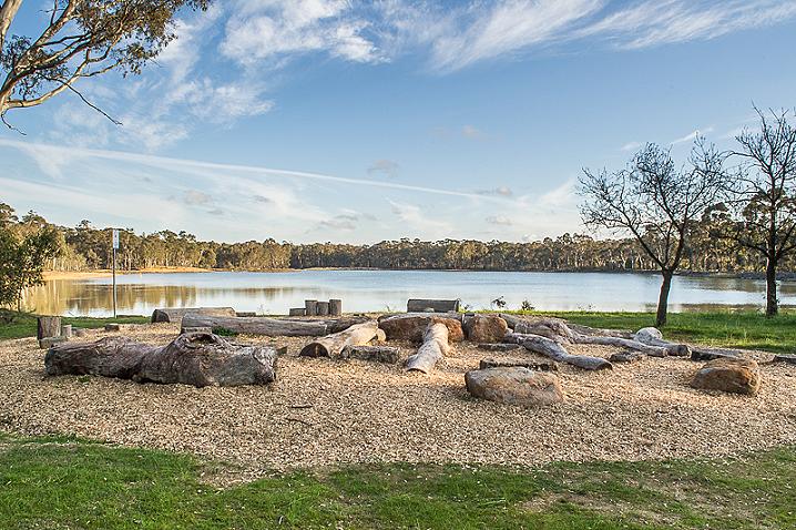
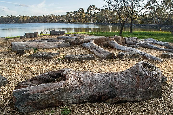
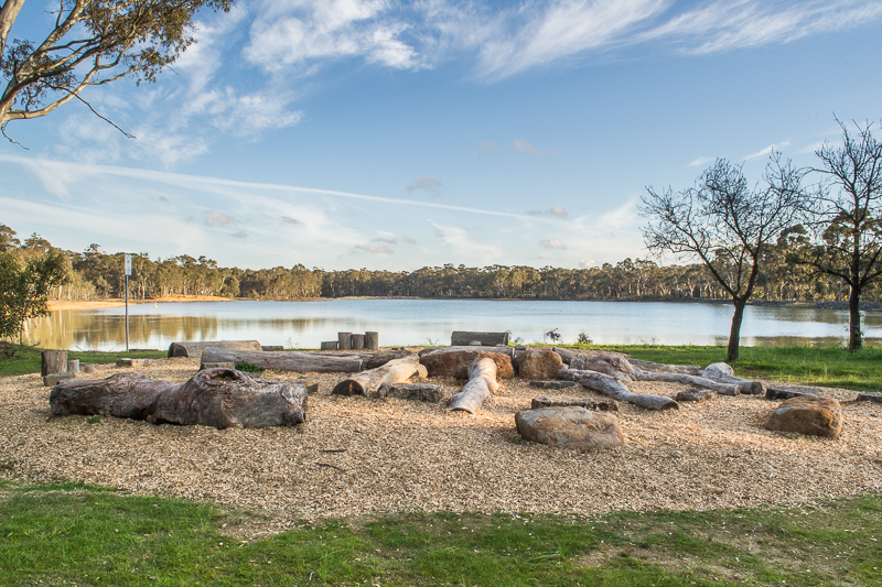
Nature play area at Goldfields Reservoir
This fantastic nature-themed playspace is a great place to bring small children for a play. Situated right alongside the main picnic and parking area, this playspace consists of a collection of logs, stumps and rocks for children to jump and balance on.
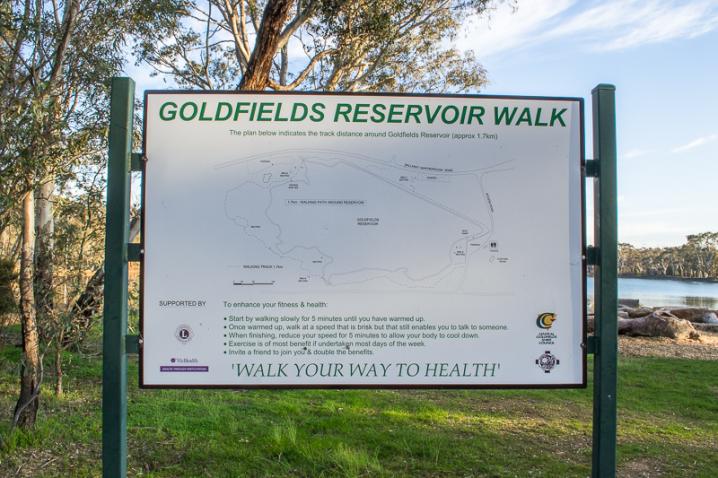
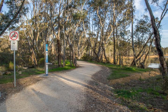
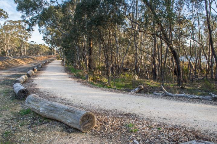
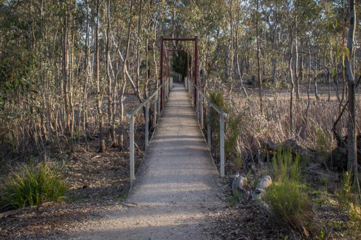
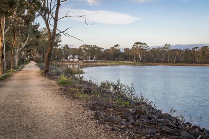
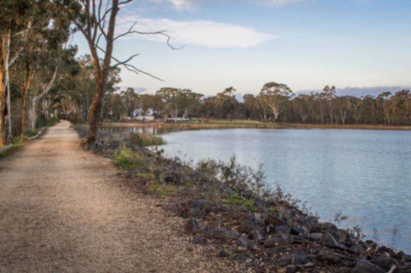
WALKING TRACK AT GOLDFIELDS RESERVOIR
The walking track circles the entire reservoir, and is about a 1.7 km easy, pram friendly, scenic walk. The track features multiple bridges, interesting hand made wooden barriers, wetland areas and water views. Old gold diggings line the tracks around the far end of the reservoir, so stick to the path and be aware of the
dangers of mine shafts.
More information and history about Goldfields Reservoir
The following text is displayed on an information sign at Goldfields Reservoir:
Gold towns faced droughts in summer and contaminated water in winter.
Alluvial miners used water for sluicing and the big mining companies constantly pumped water from shafts. The Goldfields reservoir was built in 1862, but failed to bring a steady water supply to Maryborough. The Evansford reservoir brought a secondary source from 1882-3. The Centenary Dam was added in 1957 and connected to Tullaroop in 1960.
Two men, from opposing political backgrounds, led the drive fora reliable water source. Clive Stoneham, born in Maryborough in 1909, went from running the railway union to leading the Victorian Labor Party. He joined forces with Keith Turnbull, prominent in the Country Party, to create the Centenary Dam. Stoneham also secured a sewerage system for the town and Turnbull, as Minister for Conservation, drove reforesting of mining wastes and protection for river catchments.
Maryborough almost ran out of water again in the 21st century's drought. The Moolort Aquifer, rather than new dams, appears the most likely answer to the town's long search for a dependable water source.
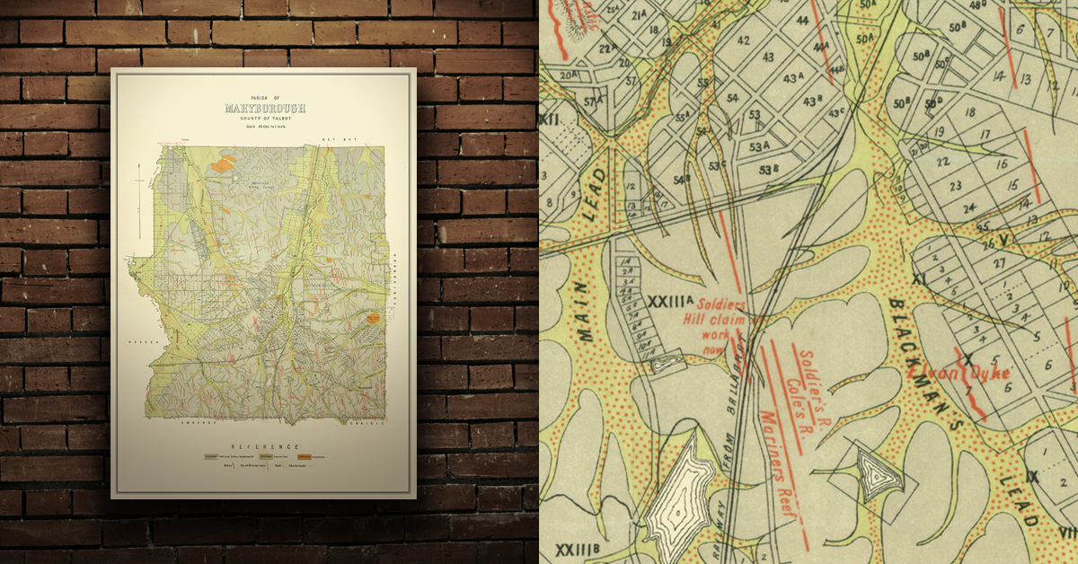
GEOLOGICAL MAP OF THE MARYBOROUGH GOLD FIELD, EARLY 20TH CENTURY
Geological map of the Maryborough gold field which shows historical features in superb detail, including reefs, leads, gullies/flats, and old workings. Originally published by the Department of Crown Lands and Survey, early 20th century. High quality, durable A1 print in a satin finish. Large, 594 x 891 mm. Go to online shop.
More to explore nearby