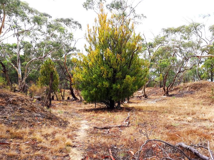
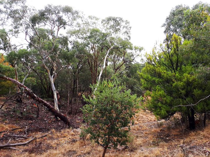
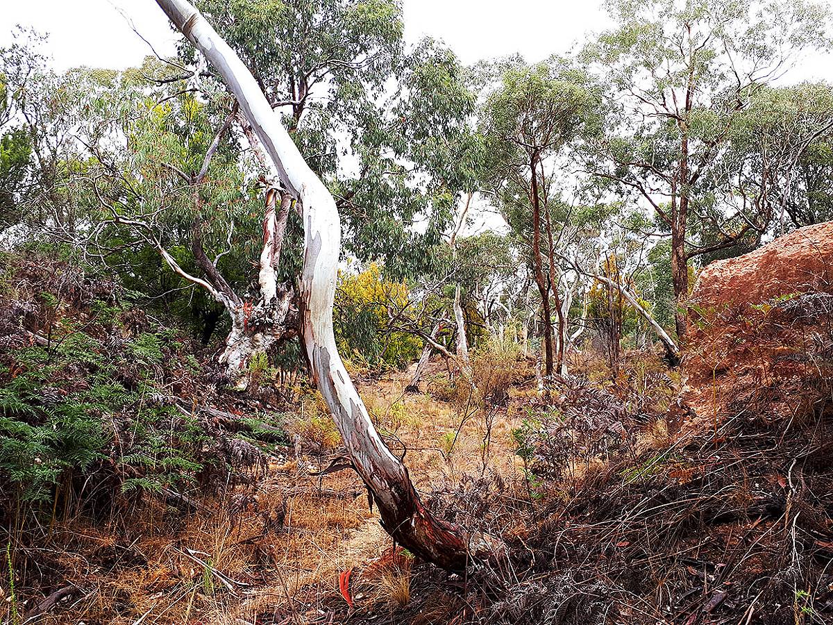
The Long Point Bushland Reserve is a significant site due to its remarkable mix of remnant vegetation which has endured and regenerated itself after the extensive land disturbances of 19th century mining.
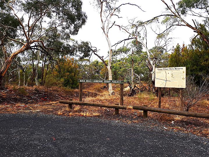
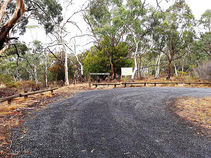
A gravel parking area sits alongside Gillies Road, where you will find an attractive information sign and a narrow walking track heading off into the reserve.
Gold was discovered at
Clunes in 1851, and by 1854 there were hundreds of mines on the Bald Hills diggings. About 7,000 Chinese miners worked this area.
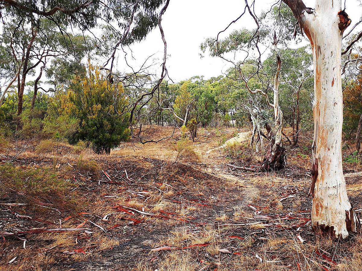
By 1890 the gold here had run out, and after the miners left clay was taken from the site for brick making and gravel was carted by the Shire for road making. Most of the mine shafts have been filled in (though some remain), and the site became a popular spot for illegal rubbish dumping.
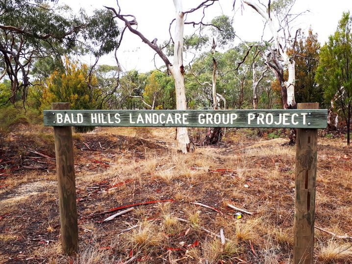
The Bald Hills Landcare Group has done a fantastic job cleaning, fencing and weeding the site, and the area has been declared a permanent reserve.
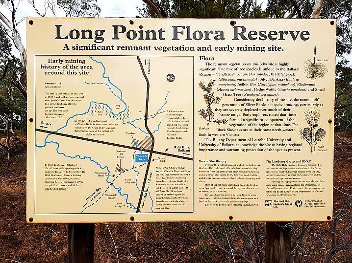
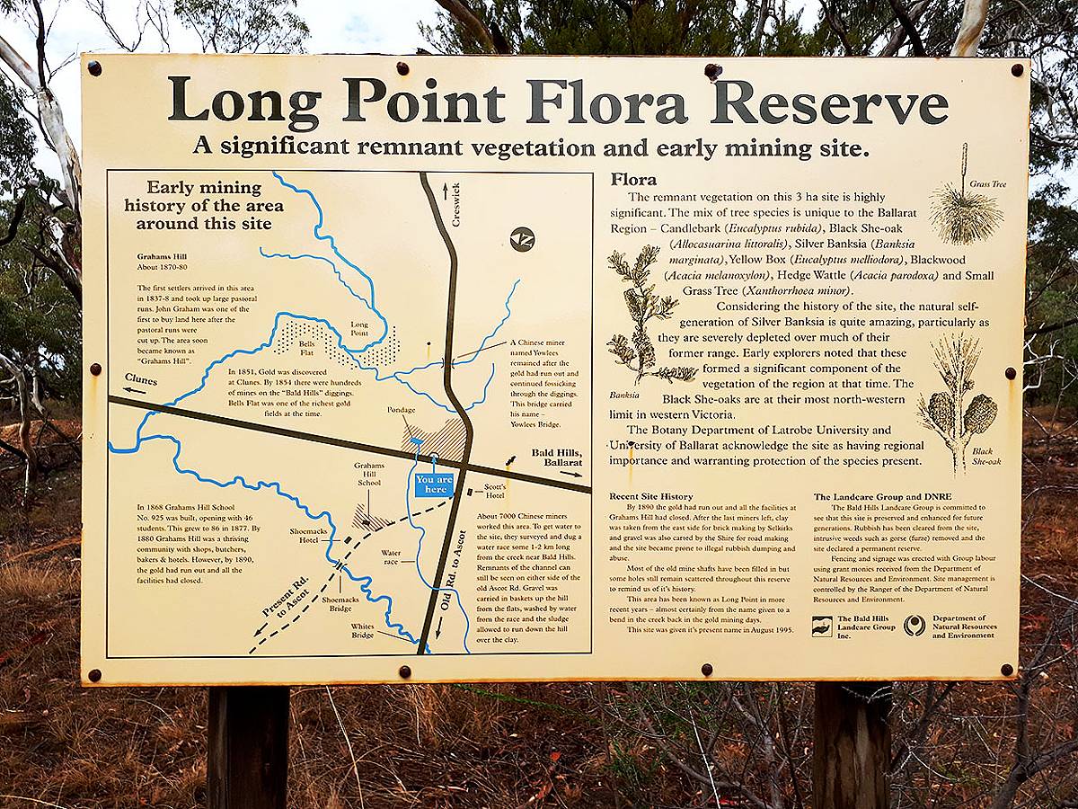
An information sign at the Long Point Bushland Reserve displays the following text:
LONG POINT FLORA RESERVE - A significant remnant vegetation and early mining site.
Early mining history of the area around this site
Grahams Hill
About 1870-80
The first settlers arrived in this area in 1837-8 and took up large pastoral runs. John Graham was one of the first to buy land here after the pastoral runs were cut up. The area soon became known as "Grahams Hill".
In 1851, Gold was discovered at
Clunes. By 1854 there were hundreds of mines on the "Bald Hills" diggings. Bells Flat was one of the richest
gold fields at the time.
About 7,000 Chinese miners worked this area. To get water to the site, they surveyed and dug a water race some 1-2 km long from the creek near Bald Hills. Remnants of the channel can still be seen on either side of the Old Ascot Rd. Gravel was carried in baskets up the hill from the flats, washed by water from the race and the sludge allowed to run down the hill over the clay.
In 1868 Grahams Hill High School No. 925 was built, opening with 46 students. This grew to 86 in 1877. By 1880 Grahams Hill was a thriving community with shops, butchers, bakers & hotels. However, by 1890, the gold had run out and all the facilities had closed.
Recent site history
By 1890 the gold had run out and all the facilities at Grahams Hill had closed. After the last miners left, clay was taken from the east side for brick making by Selkirks and gravel was also carted by the Shire for road making and the site became prone to illegal rubbish dumping and abuse.
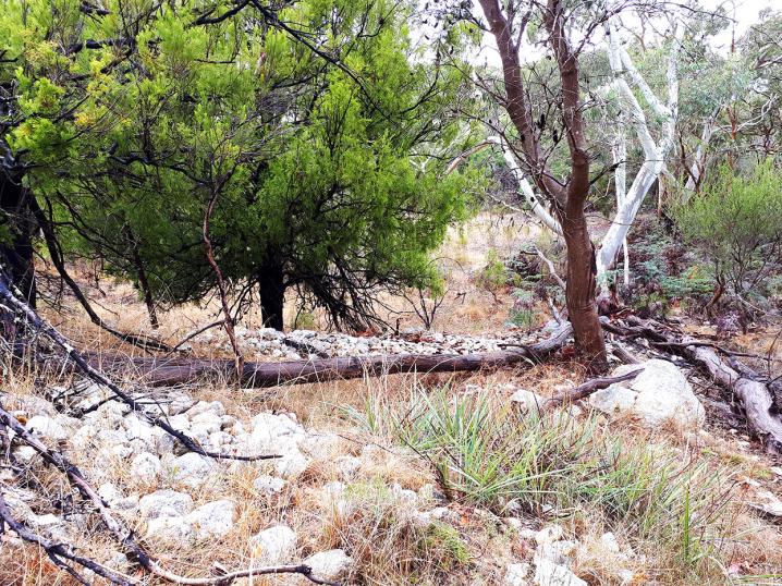
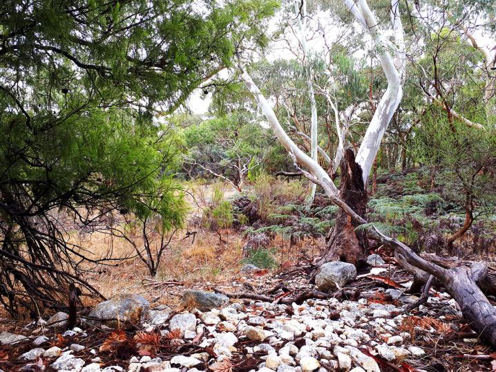
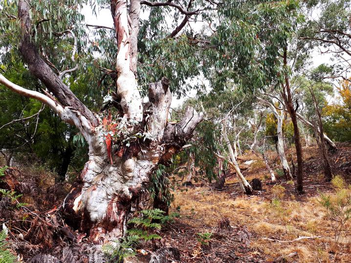
Most of the old mine shafts have been filled in but some holes still remain scattered throughout this reserve to remind us of its history.
This area has been known as Long Point in more recent years - almost certainly from the name given to a bend in the creek back in the gold mining days.
This site was given its present name in August 1995.
Flora
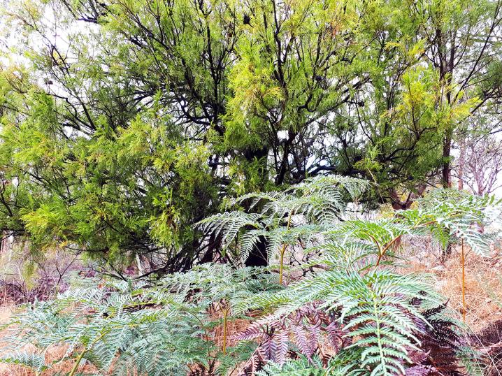
The remnant vegetation on this 3 ha site is highly significant. The mix of tree species is unique to the Ballarat Region - Candlebark (Eucalyptus rubida), Black She-oak (Allocasuarina littoralis), Silver Banksia (Banksia marginata), Yellow Box (Eucalyptus melliodora), Blackwood (Acacia melanoxylon), Hedge Wattle (Acacia parodoxa) and Small Grass Tree (Xanthorrhoea minor).
Considering the history of the site, the natural self-generation of Silver Banksia is quite amazing, particularly as they are severely depleted over much of their former range. Early explorers noted that these formed a significant component of the vegetation of the region at that time. The Black She-oaks are at their most north-western limit in western Victoria.
The Botany Department of Latrobe University and the University of Ballarat acknowledge the site as having regional importance and warranting protection of the species present.
The Landcare group and DNRE
The Bald Hills Landcare Group is committed to see that this site is preserved and enhanced for future generations. Rubbish has been cleared from the site, intrusive weeds such as gorse (furze) removed and the site declared a permanent reserve.
Fencing and signage was erected with Group labour using grant monies received from the Department of Natural Resources and Environment. Site management is controlled by the Ranger of the Department of Natural Resources and Environment.