The geographical centre of Victoria is located about 8km out of Bendigo in the peaceful locality of Mandurang.
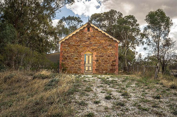
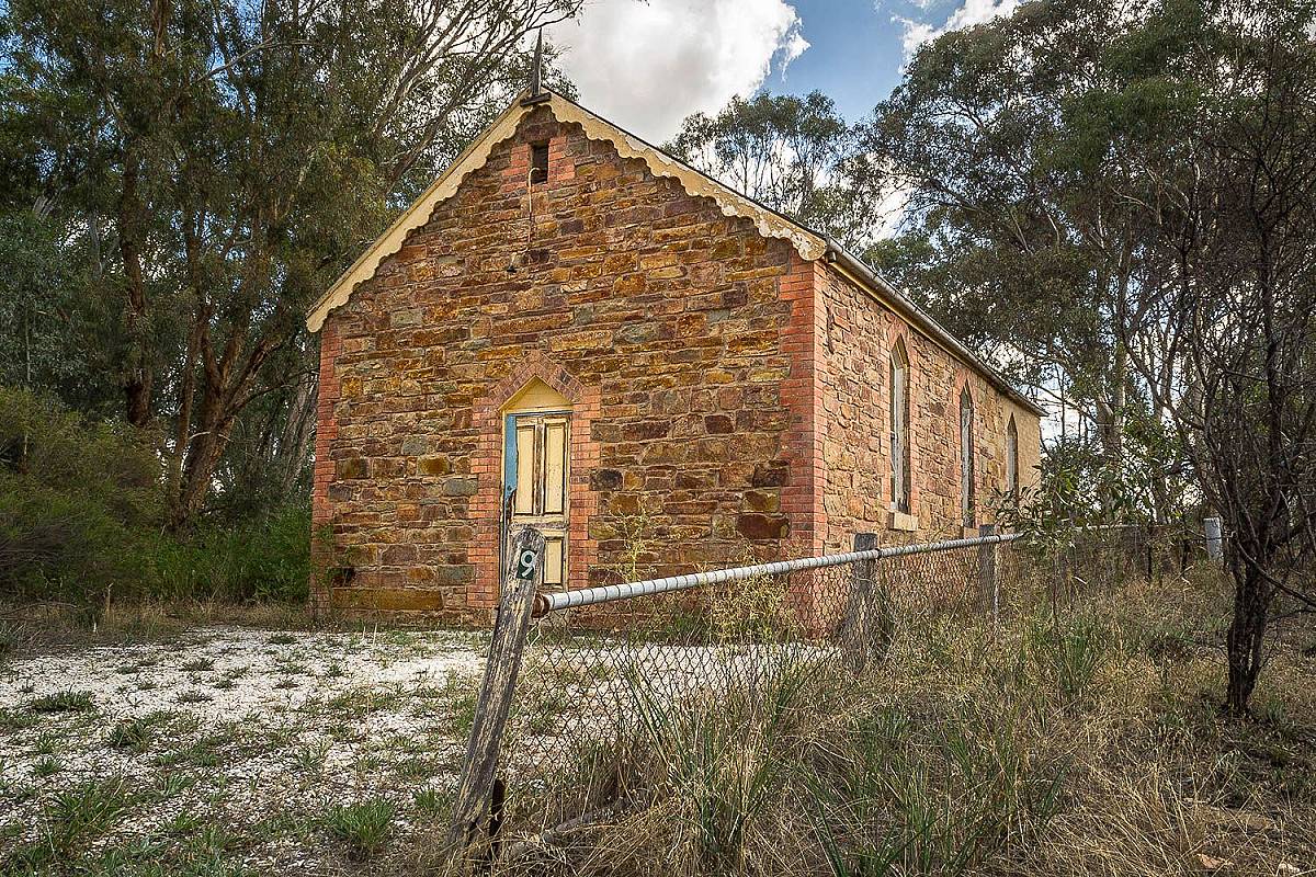
The historical Mandurang Uniting Church sits directly on the spot that corresponds with the centroid calculations from a number of different organisations, and was officially recognised as the geographical centre of Victoria in 2001.
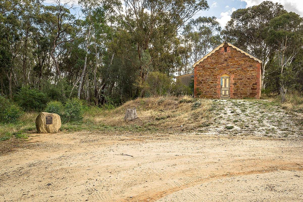
Mandurang Uniting Church
The stone building is beautiful to look at but keep in mind that it is privately owned - do not attempt to enter. You can get a good view of this building from the parking area. The building's gorgeous stone walls and weathered wooden door make it a popular subject for photography.
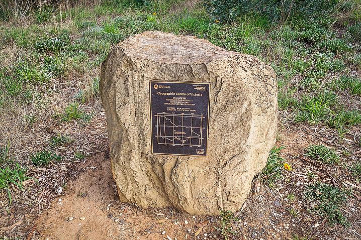
Monument for the Geographical Centre of Victoria
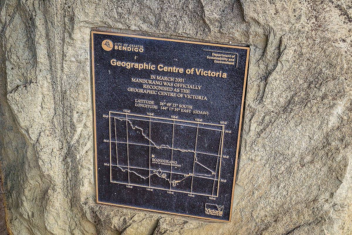
A monument alongside the gravel parking area marks the spot which has been determined as the geographical centre of Victoria. The monument consists of a large piece of stone with a plaque on the front, which displays a map and coordinates of the spot.
The plaque displays the following text:
Geographic Centre of Victoria
In March 2001 Mandurang was officially recognised as the geographic centre of Victoria.
Latitude 36°49'23" south
Longitude 144°17'39" east (GDA94)
How to get to the Geographical Centre of Victoria
From Bendigo, head south east on Mitchell Street and continue following once it turns into Carpenter Street. Turn left onto Spring Gully Road, then head straight at the roundabout onto Mandurang Road. Follow this out of town, then turn right onto Pentlands Road and another quick right onto Hollidays Road. The Geographical Centre of Victoria will be on your left shortly after you turn onto Hollidays Road.
More to explore nearby
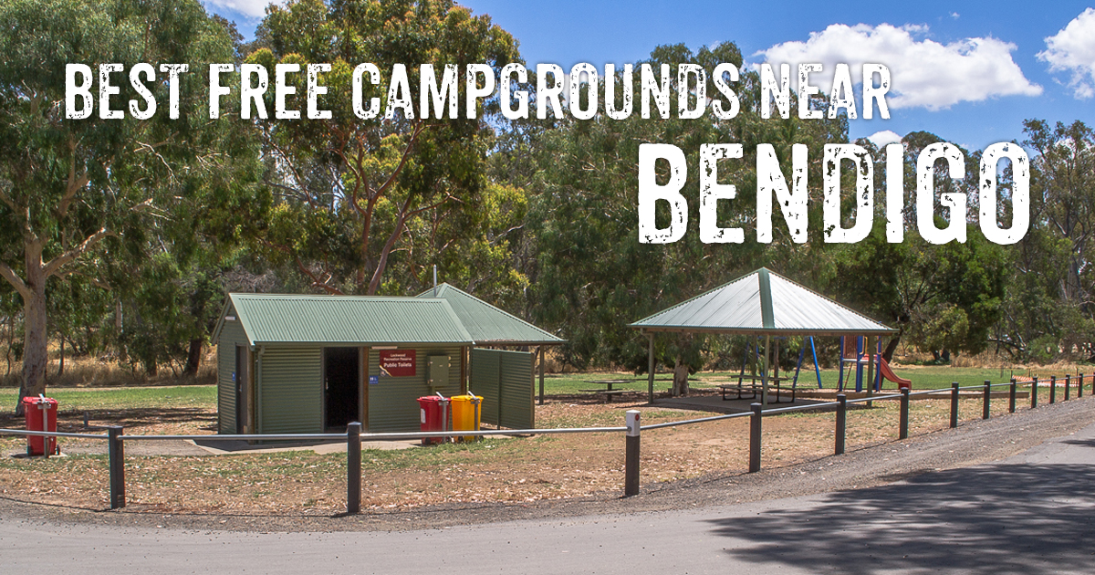
The Bendigo region hosts a huge collection of fantastic free campgrounds! Many are located very close to town over in the Greater Bendigo National Park and up along the gorgeous Campaspe River. Plenty of the campgrounds throughout the region are great spots for swimming, gold prospecting and bushwalking. This massive list covers all the campgrounds within an hour of Bendigo and includes distance from town, visitor facilities, things to do, and whether you can bring your dog along with you!
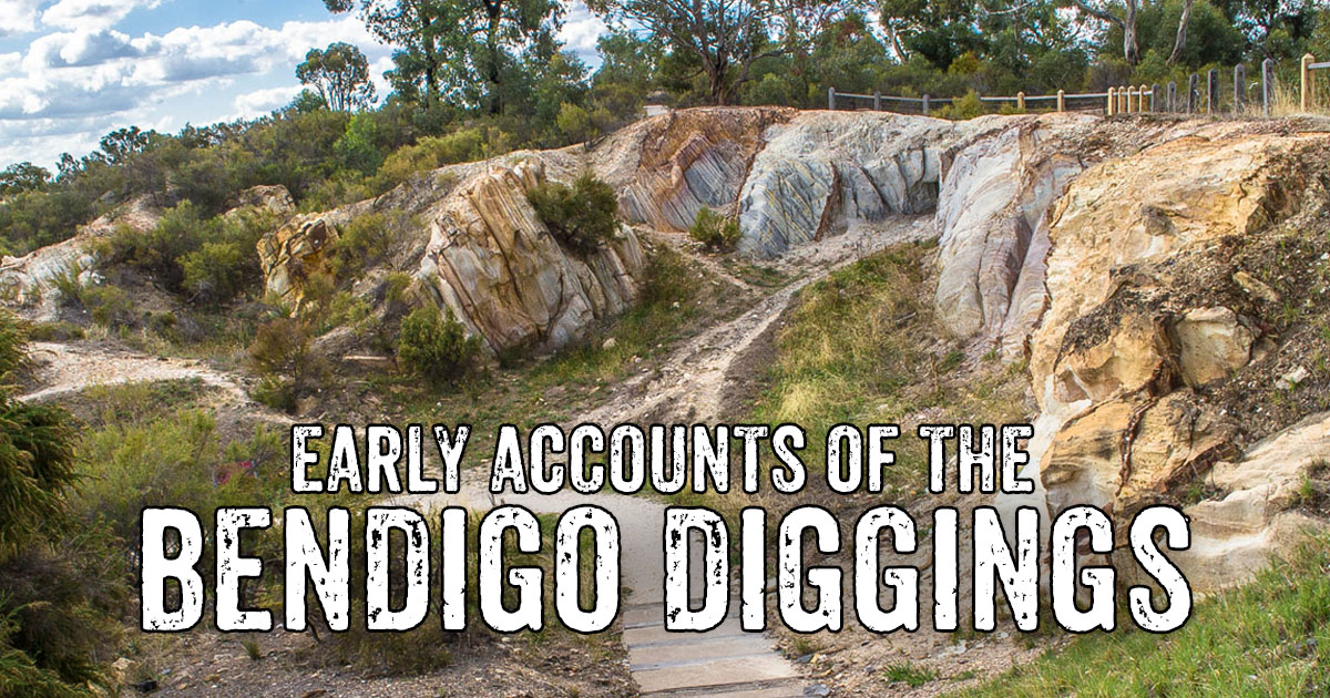
The Bendigo Diggings began in 1851, born out of the famed Mount Alexander diggings - though at an unfortunate time of year when water was scarce and the ground dry and hard. Despite this early difficulty, many continued to work these diggings steadily and profitably throughout the summer months. Soon enough the rains saw Bendigo leap into madness, with thousands rushing to its rich, newly discovered gullies.
The
following accounts were published in newspapers during the first few months of the rush to Bendigo Creek, and give us an interesting insight into the early development of the Bendigo Diggings.