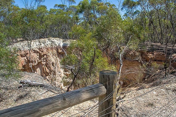
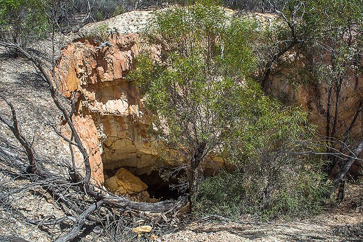
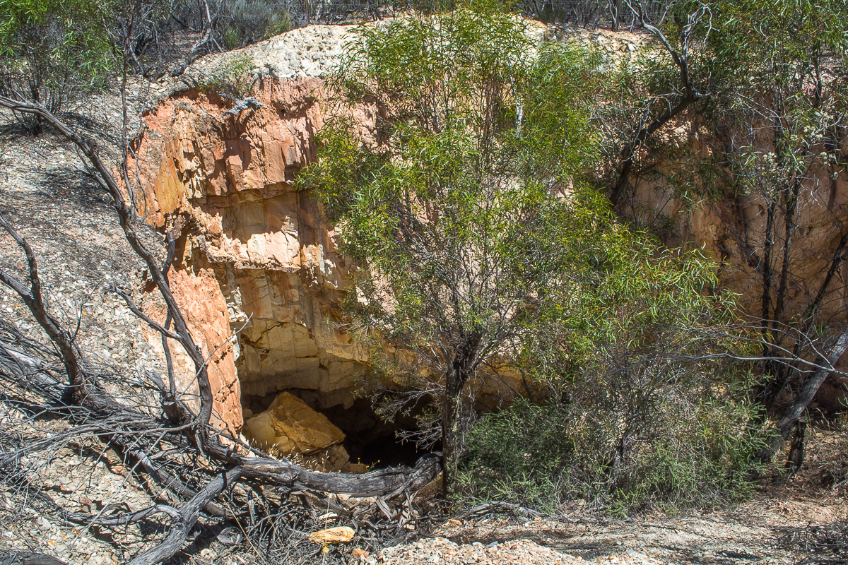
Browse by Tag
BBQ
Educational
Free camping
Gold history
Gold prospecting
Swimming
Walking track
Search

Old Tom Mine

  • 20210107 dsc 3305
  • 20210107 dsc 3304
  • 20210107 dsc 3299
  • 20210107 dsc 3301
  • 20210107 dsc 3303
  • 20210107 dsc 3298
Between Old Tom Road, Scotsman Road, Eaglehawk-Neilborough Road and an unnamed road, Whipstick VIC 3556

Explore other locations around this area using our interactive map

Features

The Old Tom Mine site lies within the Greater Bendigo National Park and is marked with a sign in the bush off Old Tom Road. 

This spot is best reached either on foot from Eaglehawk-Neilborough Road or with a four wheel drive vehicle on the narrow and uneven dirt track which travels past the mine site. 


A fenced section behind the 'Old Tom Mine' sign looks out over an open cut, and the area is filled with remnants of a range of mining activity. 

An excellent and late (1930s) example of a gold puddler is located nearby as well as a water race and the remains of a battery site, cyanide plant, hydraulic sluicing and shallow alluvial workings. 

History of Old Tom Mine


There is lots of information on Old Tom Reef Mine and Alluvial Workings, including a timeline of operations, on pages 138 - 153 of the City of Greater Bendigo: Marong Heritage Study Mining Sites document, available to view online here

The document contains the following description of the site:

Mine site
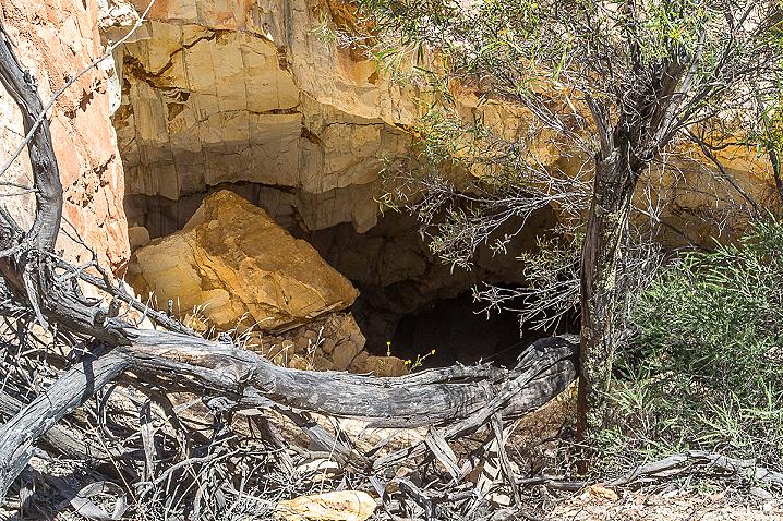
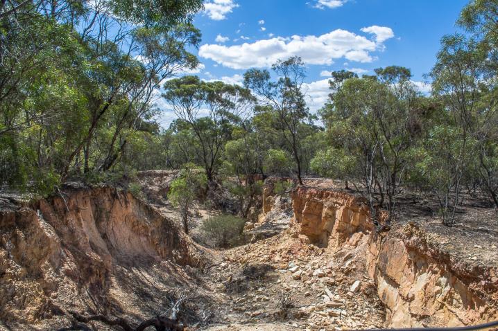
40 metre-long mullock heap with one dumping line running north from a filled shaft. The heap has been partially quarried. 20 metres south is a scatter of red hand-made bricks and rough concrete rubble. Further south there are smaller mullock dumps and a line of shallow reef workings Surface workings 30 metres west of the mullock dump, running north, is a line of small mullock paddocks, terminating in a shallow open cut. 

On the same line to the south, in an area north and west of the most southerly section of reef workings there is an area of hydraulic sluicing. 

West of the cyanide works and along Scotchman Gully there are patches of shallow alluvial workings. 

Battery site
On the eastern side of the open-cut is a small mullock paddock, below which is a spread of hand-made red bricks and fire bricks. Near this rubble is a dry dam, with traces of battery sand nearby. 

Puddling machine site
10 metres north of the water race is the outline of a 20 foot diameter puddling machine. 

The central mound retains its wooden post and fragments of timber side-boarding are still present in the puddling trench. 

Water was fed to the puddling machine from the race by a pipe, now largely buried. The dumps are weathered and partially quarried, but the puddling machine is in good condition


The puddler is listed in the Victorian Heritage Database, which includes the following description (source: VHD):

The Old Tom Reef Gold Puddling Site consists of the remnants of one puddling machine complete with water race. 

The puddling machine site, which was operated in the 1930s, is very rare in that the puddling trench still has traces of its timber lining. 

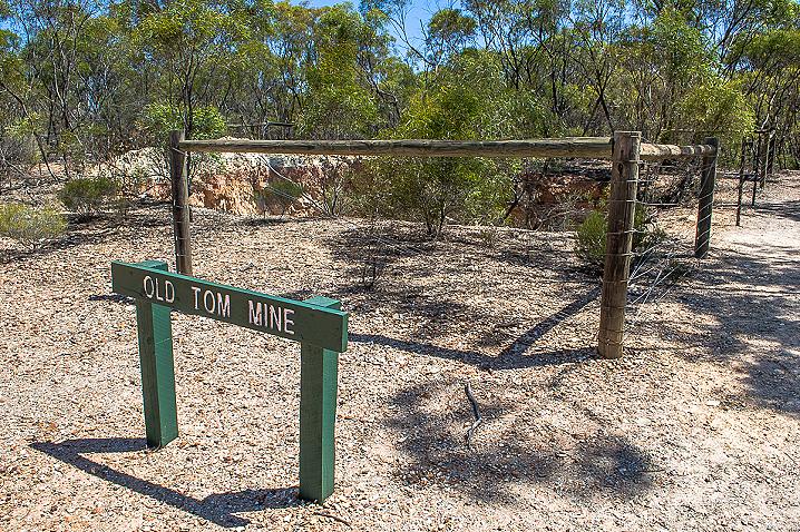
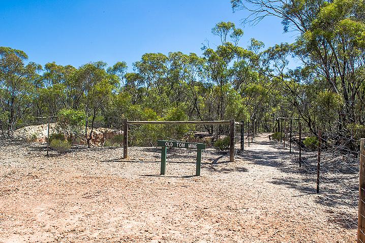
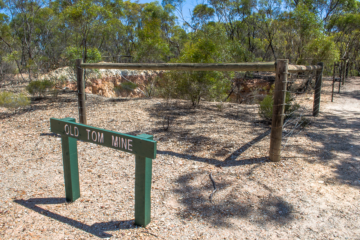
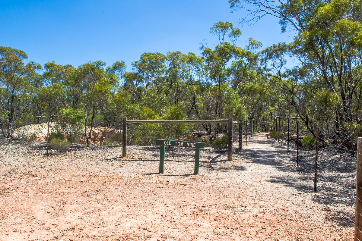
The site lies close to the remnants of a quartz mine known as the Old Tom Reef. 

The site is a good characteristic example of the puddling technology developed in Victoria from 1854 in response to the need to process enormous amounts of clay soil which needed to be broken up to get at the gold. 

Horses were used to drag harrows around a circular ditch in which the soil and water were mixed.

Bushwalking at Old Tom Mine


There are walks to Old Tom Mine from both Notley Campground nearby and Shadbolts Picnic Area a little further away. See map above for exact location of Old Tom Mine. 

When bushwalking in the area, stay on formed tracks and be wary of open mine shafts throughout the Greater Bendigo National Park. 

Gold prospecting in the Greater Bendigo National Park


Gold prospecting is permitted throughout most of the Greater Bendigo National Park. 

Take a look at this prospecting map from Parks Victoria to see which areas are okay for prospecting, but keep in mind that The Heritage Act 1995 protects places and objects of cultural heritage significance. 

Historical features at sites such as this one must not be disturbed. 

Always be wary of where you are walking while prospecting in the Greater Bendigo National Park as there are deep open mine shafts throughout the area. 

Local gold prospecting shops, tours and training

GEOLOGICAL MAP OF THE BENDIGO GOLD FIELD, 1923


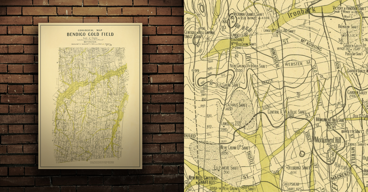
Geological map of the Bendigo gold field which shows historical features in superb detail, including mine shafts/companies, gullies, lines of reef, dams, and sand heaps. Originally prepared in the Bendigo Office, Mines Department, 1923. High quality, durable A1 print in a satin finish. Large, 594 x 891 mm. Go to online shop.

SEE ALSO


DID YOU KNOW...

  • Bushwalking is an excellent way to get outdoors and exploring nature.
  • Evidence of the mid-late 1800's gold rush can be found throughout the Victorian goldfields in the form of abandoned mine shafts and tunnels, mullock heaps, buildings and ruins, circular puddling troughs, remains of cyanide vats, and quartz kilns.
  • Gold prospecting is the recreational act of searching for natural gold deposits in the ground using tools such as gold detectors, gold pans and gold sluices. The Goldfields region of Victoria is a popular destination for gold prospectors, with many of the world's largest alluvial gold nuggets found in the area!
 

Comments

No comments

Leave a comment

Follow us on Facebook