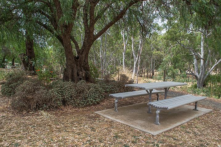
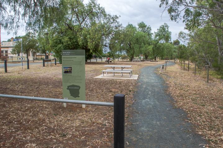
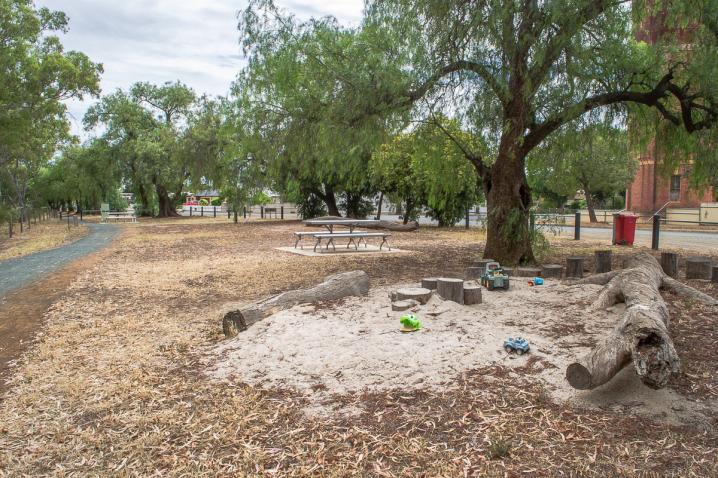


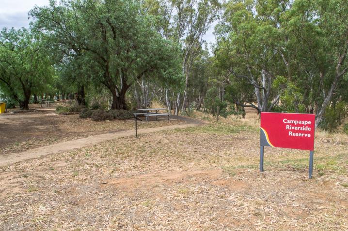
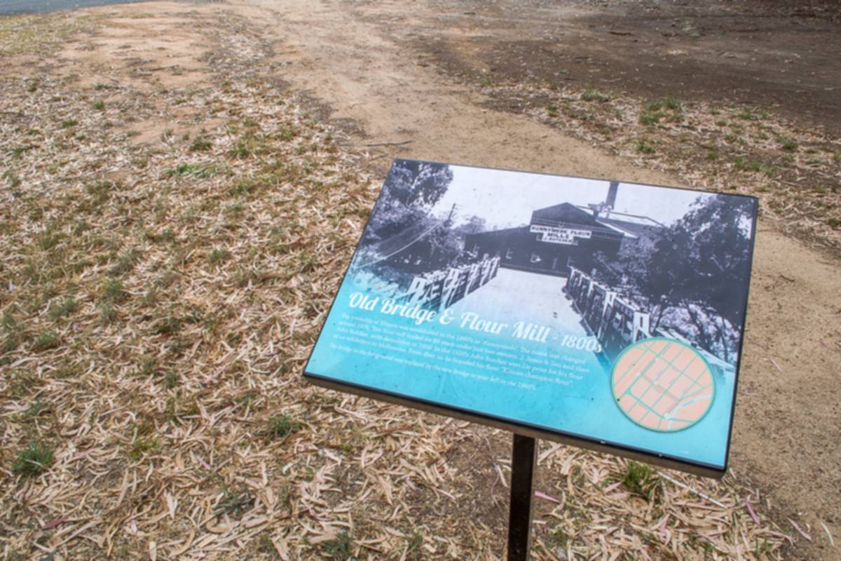
A tall display sign in the picnic area:Old Bridge & Flour Mill - 1800s
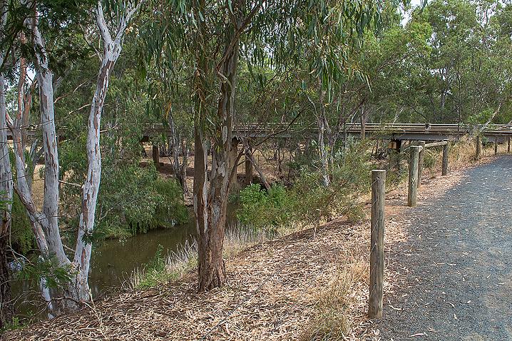
The township of Elmore was established in the 1860's as 'Runnymede'. The name was changed around 1876. This flour mill traded for 85 years under just two owners, J. Jones & Son and then John Butcher, until demolition in 1958. In the 1920's John Butcher won 1st prize for his flour at an exhibition in Melbourne. From then on he branded his flour "Elmore champion flour".
The bridge in the foreground was replaced by the new bridge to your left in the 1960's.
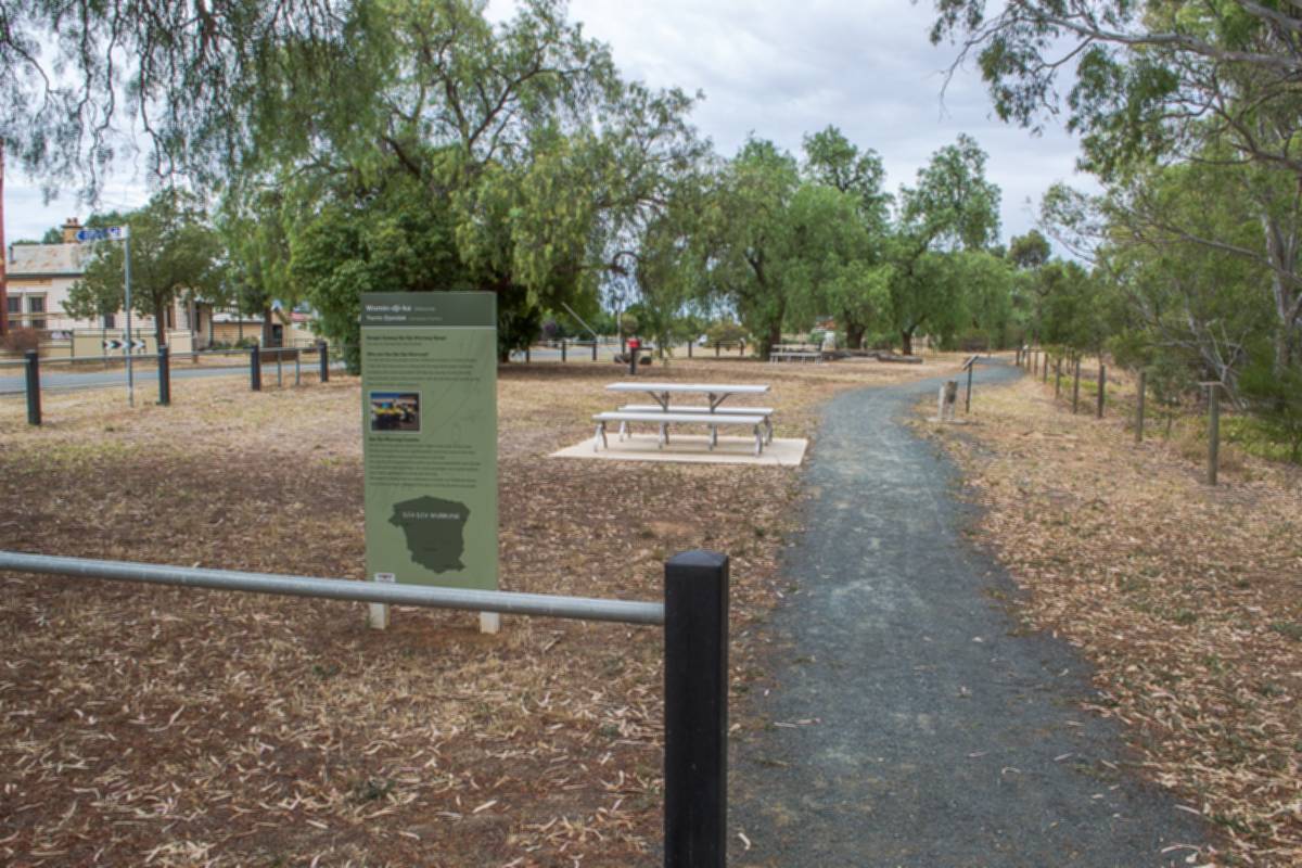
A second sign in the picnic area:
Womin-dji-ka (Welcome)Yerrin Djandak (Campaspe Country)
Bengin Gutang Dja Dja Wurrung Djaayi(You are on Dja Dja Wurrung Country)
Who are the Dja Dja Wurrung?
The Dja Dja Wurrung people are the Traditional Owners of Central Victoria. A Dja Dja Wurrung person is descended through either parent to Apical Ancestors who were associated with Dja Dja wurrung country by birth, place of burial, and/or other connection with Dja Dja Wurrung country at the time of first contact with Europeans.
Dja Dja Wurrung Country
Dja Dja Wurrung country extends from Boort in the north, to the Great Dividing Range in the south, the Richardson and Avon Rivers to the west and the Campaspe river is our boundary to the east.
Our country encompasses the Loddon and Avoca watersheds and includes the Central Victorian gold fields. Our lands and waters are of great spiritual and cultural significance to all Dja Dja Wurrung.
We aspire to actively heal our waterways to protect our traditional values, to promote our laws, culture and the rights of all Dja Dja Wurrung people.
Our Rivers and Waterways
Traditional Aboriginal culture evolved around relationships to the land and water, relationships that hold deep physical, social, environmental, spiritual and cultural significance.
Today, the land and its waterways remain central to our cultural identity and aspirations for community and economic development.
Our rivers are the veins of country, and provide food and medicine, places to camp, hunt, fish, swim and hold ceremonies.
They are places that are central to our creation stories, and many of our cultural heritage sites are associated with waterways, burial sites, birthing sites and middens.
Our waterways are places that we connect with our ancestors and pass traditional knowledge on to our children and grandchildren.
Rivers such as the Loddon Coliban, Campaspe, Avoca and Avon; Lakes that include Boort, Eppalock and Laaneoorie; swamps and creeks - these are significant parts of our country that link us to our past and will provide for our future.
Bush Tucker and Medicines.
We are gardeners of the environment. We care for the land and it provides for us.
We use lomandra and matt rush to weave baskets.
We hunt wallaby, emu and goanna.
We eat the eels, mussels, crayfish and yellow belly from our streams.
We gather bardi grubs and duck eggs, nardoo and yam daisies and wattle seeds for food and medicine. We use buloke and red gum timber for our tools and ceremonies.
We need to manage our country in the right way if we want it to continue to provide for our food and medicinal needs into the future.
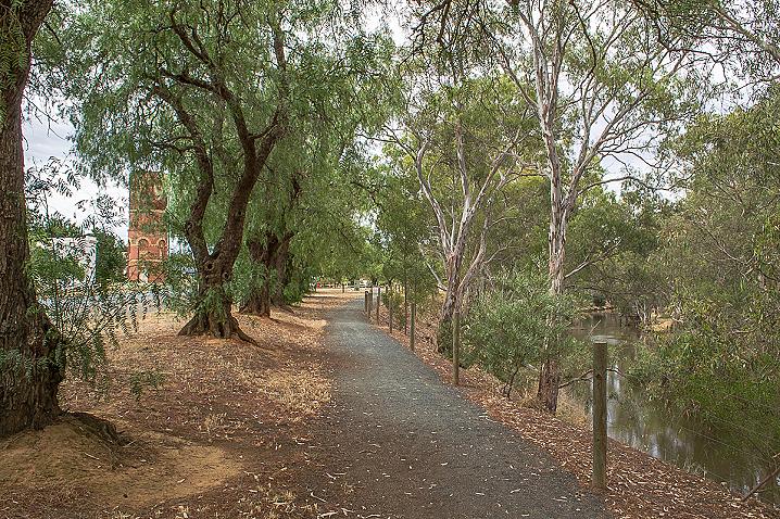
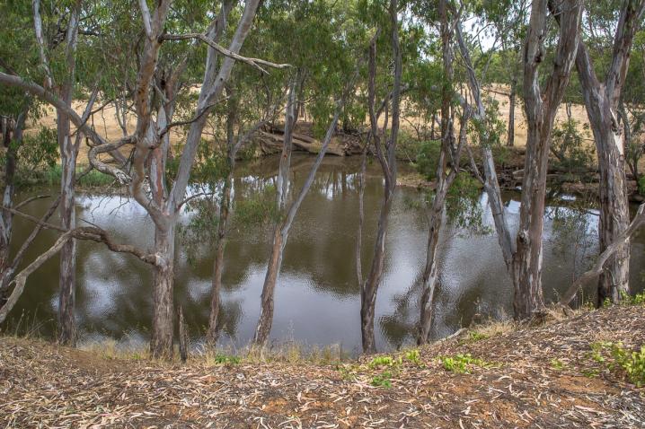
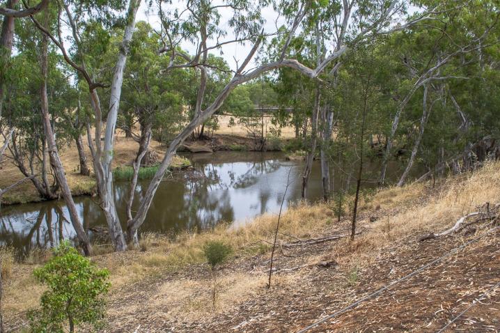
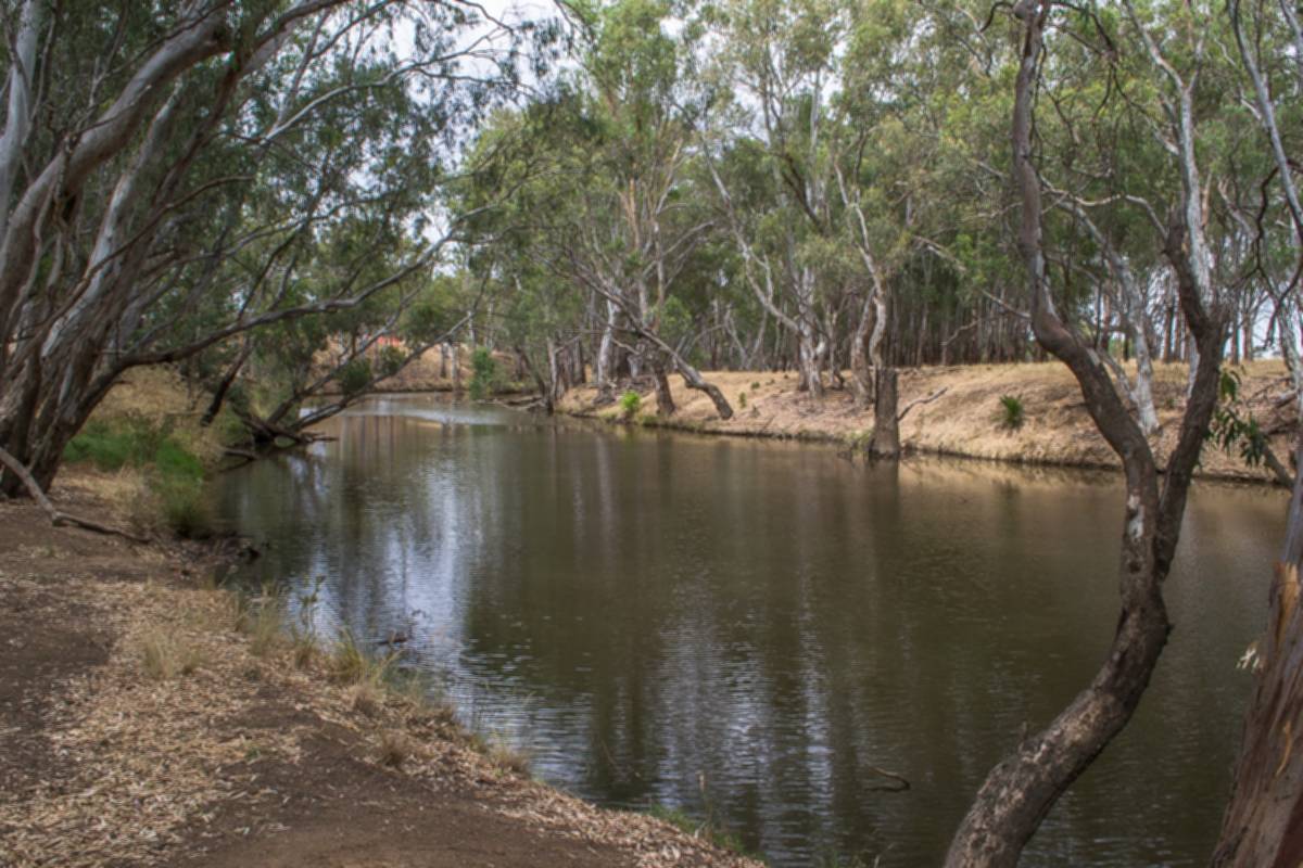
Welcome to the Campaspe River at Elmore
You are standing along the lower reaches of a river system that flows 240km on a northerly course from the Great Dividing Range near Woodend to the Murray River at Echuca. Elmore is about 70km down the river from the Lake Eppalock spillway - built in the 1960s to provide irrigation water for downstream farmers and to store/supply water to Bendigo and surrounding towns.
The flowing water before you is regulated at Lake Eppalock to meet the seasonal needs of irrigators and to maximise river health benefits through the delivery of environmental flows, e.g. timed to align with fish breeding cycles.
Before reaching Elmore the river also receives flows from Mosquito, Axe, Forest and Mt Pleasant creeks. The river in Elmore is also pooled from the damming effect of the Campaspe Weir, located 15km downstream.
The river banks are lined with River Red Gums above a shrub layer of wattles and River Bottlebrush with a mix of native and exotic grasses. This vegetation provides the habitat and food for a variety of birds, animals and aquatic fauna that are entwined in the river ecology.
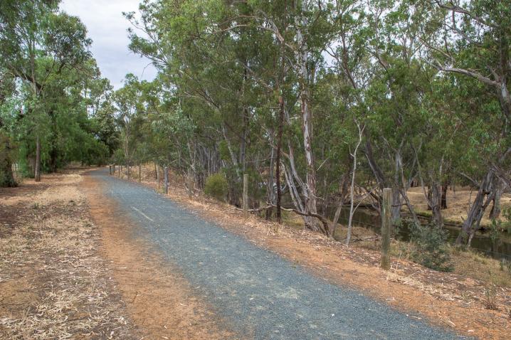
Signs along the walking track:
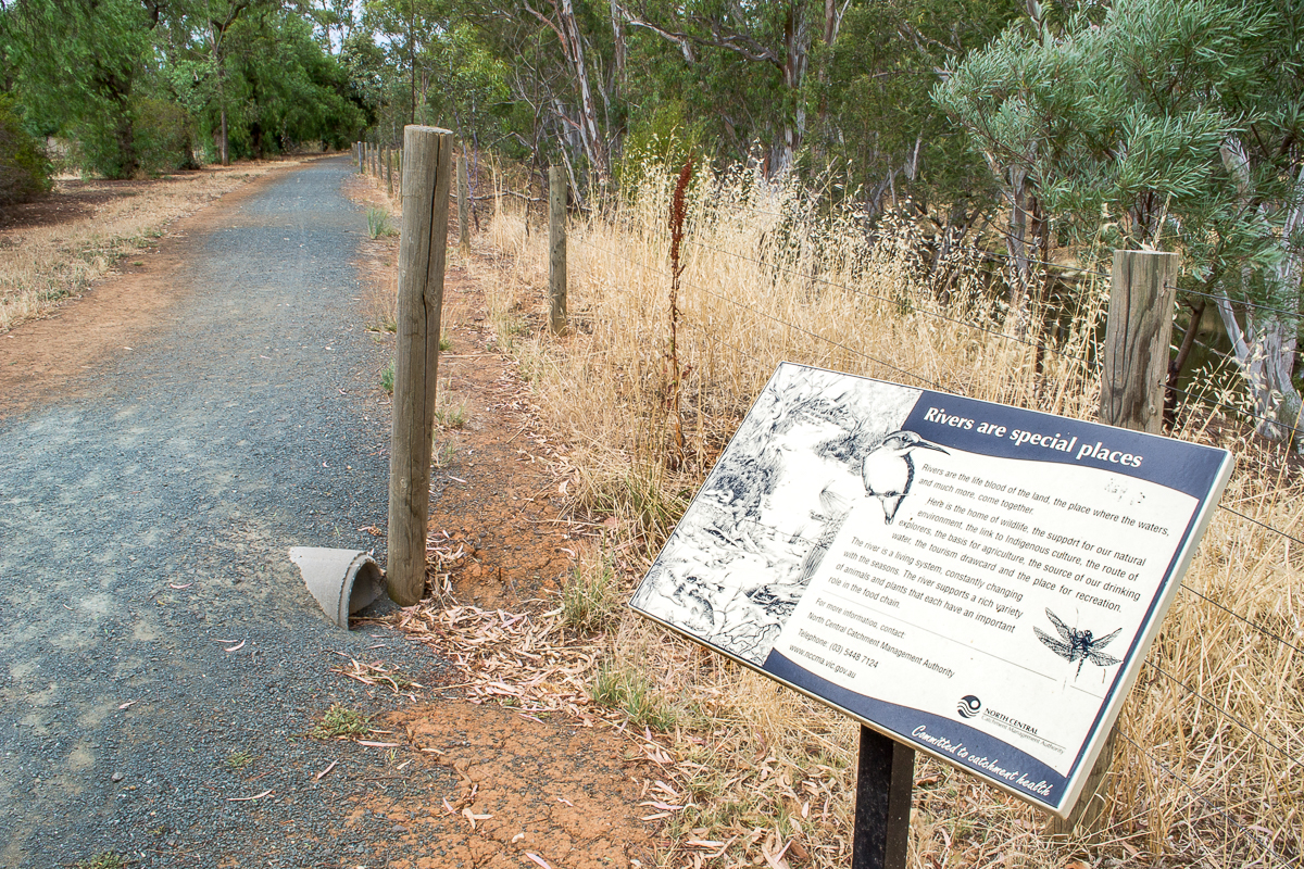
Rivers are special places
Rivers are the life blood of the land, the place where the waters, and much more, come together.
Here is the home of wildlife, the support for our natural environment, the link to Indigenous culture, the route of explorers, the basis for agriculture, the source of our drinking water, the tourism drawcard and the place for recreation.
The river is a living system, constantly changing with the seasons. The river supports a rich variety of animals and plants that each have an important role in the food chain.
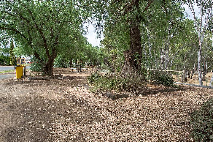
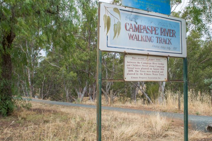
This avenue of pepper trees
Between the Campaspe River bridge and Childers Street along Campaspe Street were planted on August 10th 1898. The Trees were donated and planted by the Elmore Water Trust. Elmore Progress Association Inc.
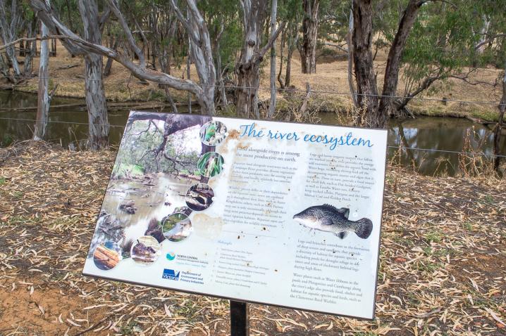
The river ecosystem
Land alongside rivers is among the most productive on earth.
Riparian land alongside waterways such as the Campaspe River provides: diverse vegetation; shelter from predators; sites for nesting and roosting; and locally, relatively less extreme temperatures.
Wildlife species differ in their dependence on the riparian zone: some are confined to it throughout their lives, such as Azure Kingfishers; others, such as Swift Parrots may use it only occasionally, although their long-tern presence depends on access to intact riparian habitats. Riparian areas are often corridors for wildlife movement.
Logs and leaves (organic matter) that fall or are washed into the river provides the energy and nutrients that drives the aquatic food web. Water bugs, including shrimp feed off the decomposing organic matter and algae that it supports. These in turn, provide a food source for small fish, such as Flat-headed Gudgeon, as well as Eastern Water-rats, Eastern long-necked turtles, Platypus and the larger Murray Cod and Golden Perch.
Logs and branches contribute to the formation of deep scours and sandbars, that provide a diversity of habitat for aquatic species including pools for drought refuge in dry times and areas of slackwater behind logs during high flows.
Water plants such as Water ribbons in the pools and Phragmites and Cumbungi along the river's edge also provide food, shelter and habitat for aquatic species and birds, such as the Clamorous Reed Warbler.
SEE ALSO
