Set up camp at Chokem Flat and spend a weekend exploring the natural and historical treasures found in abundance throughout the Castlemaine Diggings National Heritage Park.
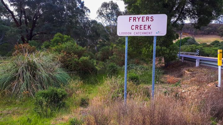
This spacious free campground is located between Castlemaine, Fryerstown and Vaughan, and is a great destination for self-sufficient campers.
Free camping at Chokem Flat
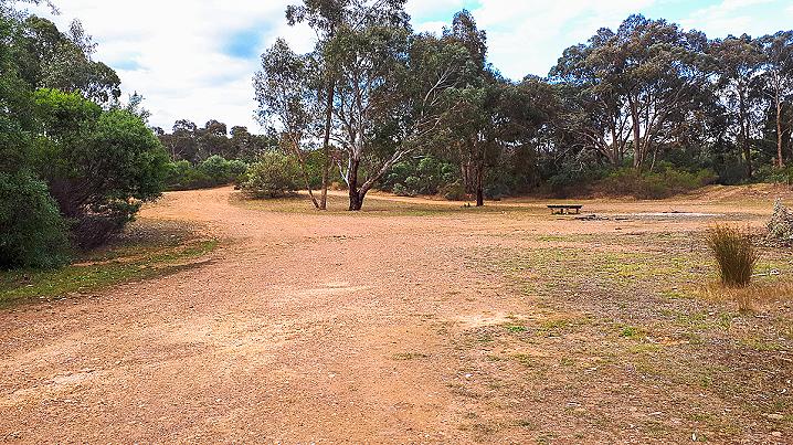
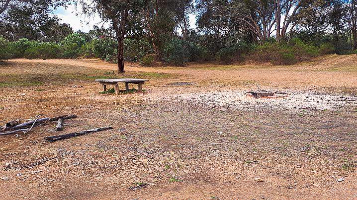
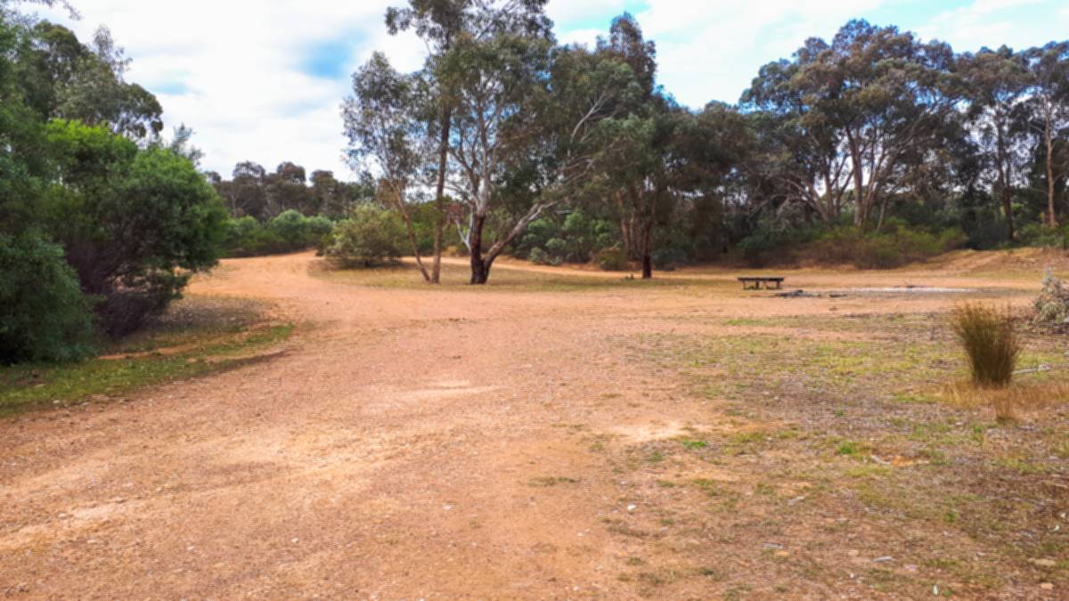
The Chokem Flat Campground consists of a huge clearing alongside Fryers Creek, which provides plenty of room for tents, caravans, RVs, and camper trailers.
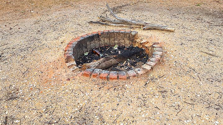
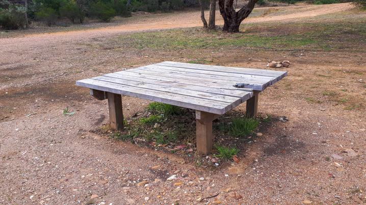
The only camping facilities present at Chokem Flat are a brick fire pit and a basic wooden table with no seating. Campers here must be fairly self-sufficient.
Dogs are permitted (on leash) at the Chokem Flat Campground.
Gold prospecting at Chokem Flat
Gold prospecting is permitted here. Large areas of the Castlemaine Diggings National Heritage Park are open for prospecting.
For more information on designated prospecting areas please see the
prospecting guide provided by Parks VIC.
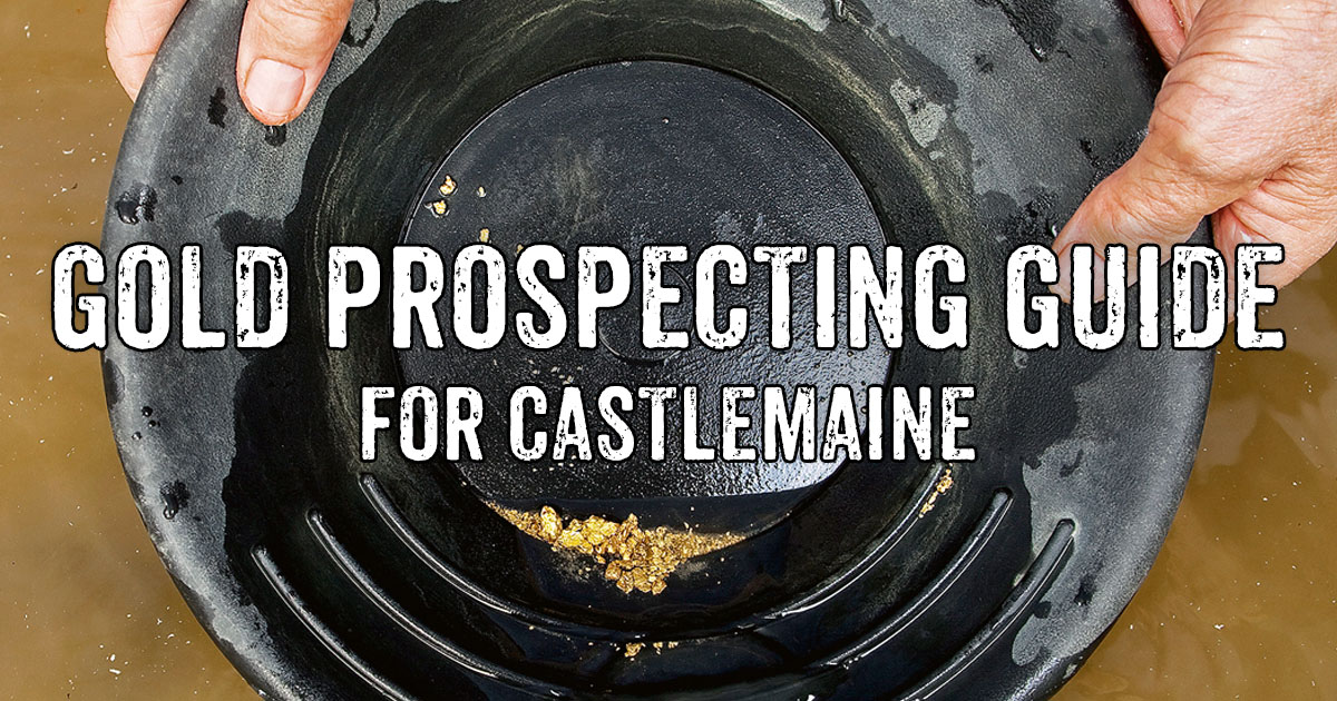
Are you looking to try your luck gold prospecting around Castlemaine?
During the gold rush, thousands upon thousands of people rushed to this area (then known as the Mount Alexander Diggings) seeking to strike their fortune on one of the richest shallow alluvial goldfields in the world!
The region remains a popular destination for gold prospecting to this day, and is filled with fascinating ruins and remnants from the gold rush throughout the remarkable Castlemaine Diggings National Heritage Park.
Whether you're looking to visit Castlemaine for gold detecting or to hit the creeks for some panning or sluicing, we've put together this handy
gold prospecting guide to get you started in the area.
More information and history
Parks Victoria has an excellent Visitors Guide for the Castlemaine Diggings National Heritage Park. The guide provides the following information on the Castlemaine Diggings, as well as lots of other helpful info.
Castlemaine Diggings National Heritage Park
Castlemaine Diggings National Heritage Park harbours fascinating tales of a golden past and
retains much of its gold-rush character - from the evocative remains of house sites and
puddling machines to the gold mines and gullies that yielded fortunes.
Between 1851 and
1854 the Castlemaine area was the world's richest shallow alluvial goldfield and home to
tens of thousands of migrant gold seekers. The park is Australia's first National Heritage Park,
declared in October 2002, part of the Box-Ironbark Parks and Reserves network.
Things to do and see
Castlemaine Diggings National Heritage Park is popular
for bushwalking, scenic drives, cycling, picnics,
exploring the mining relics and
gold prospecting.
Picnic facilities are located at Kalimna,
Vaughan
Springs, Garfield Waterwheel, Spring Gully Junction
and Eureka Reef.
Vaughan Springs also has toilets and
mineral springs.
Camping is available at
Vaughan Springs, Warburtons
Bridge and Chokem Flat Campgrounds.
The Castlemaine Visitor Information Centre provides
an excellent introduction to the history and heritage of
the park.
The gold rush
Castlemaine Diggings National Heritage Park lies at the
heart of the central
Victorian goldfields. The park is a
rare place where you can see authentic traces of the
great Victorian gold rushes of the 1850s. Sites and
relics harbour secrets and tell stories about how life
really was on the diggings.
Despite the widespread impact of gold mining, the
park contains many significant Aboriginal sites. The
park lies within the country of Jaara people.
The discovery of gold in July 1851 lured tens of
thousands of migrants. By 1852, the population on the
Castlemaine Diggings was 40-60,000.
When the diggers arrived they entered a forest of
towering ironbarks, with trunks commonly over a
metre in diameter.
The diggers uprooted the country, giving the place the
appearance, as one newcomer remarked, of 'a great
cemetery in which all the graves had been opened and
emptied of their contents'.
Almost every gully, flat and hill in the park was named
in the gold rush. Many of the names offer insights into
the ethnic and regional backgrounds of the gold
seekers.
Source: Parks Victoria's Castlemaine Diggings National Heritage Park Visitors Guide
HISTORICAL MAP OF THE CASTLEMAINE MINING DISTRICT, 1860
Map of the Castlemaine Mining District which shows historical features in superb detail, including mining divisions, reefs, gullies, and gold workings. Mining Department, Melbourne, 1860. High quality, durable A1 print in a satin finish. Large, 594 x 891 mm. Go to online shop.
PROSPECTORS AND MINERS ASSOCIATION VICTORIA
Established in 1980, the Prospectors and Miners Association of Victoria is a voluntary body created to protect the rights and opportunities of those who wish to prospect, fossick or mine in the State of Victoria, Australia.
You can support the PMAV in their fight to uphold these rights by
becoming a member. You'll also gain access to exclusive publications, field days, prospecting tips, discounts and competitions.