During the gold rush, thousands upon thousands of people rushed to this area (then known as the Mount Alexander Diggings) seeking to strike their fortune on one of the richest shallow alluvial goldfields in the world!
The region remains a popular destination for gold prospecting to this day, and is filled with fascinating ruins and remnants from the gold rush throughout the remarkable Castlemaine Diggings National Heritage Park.
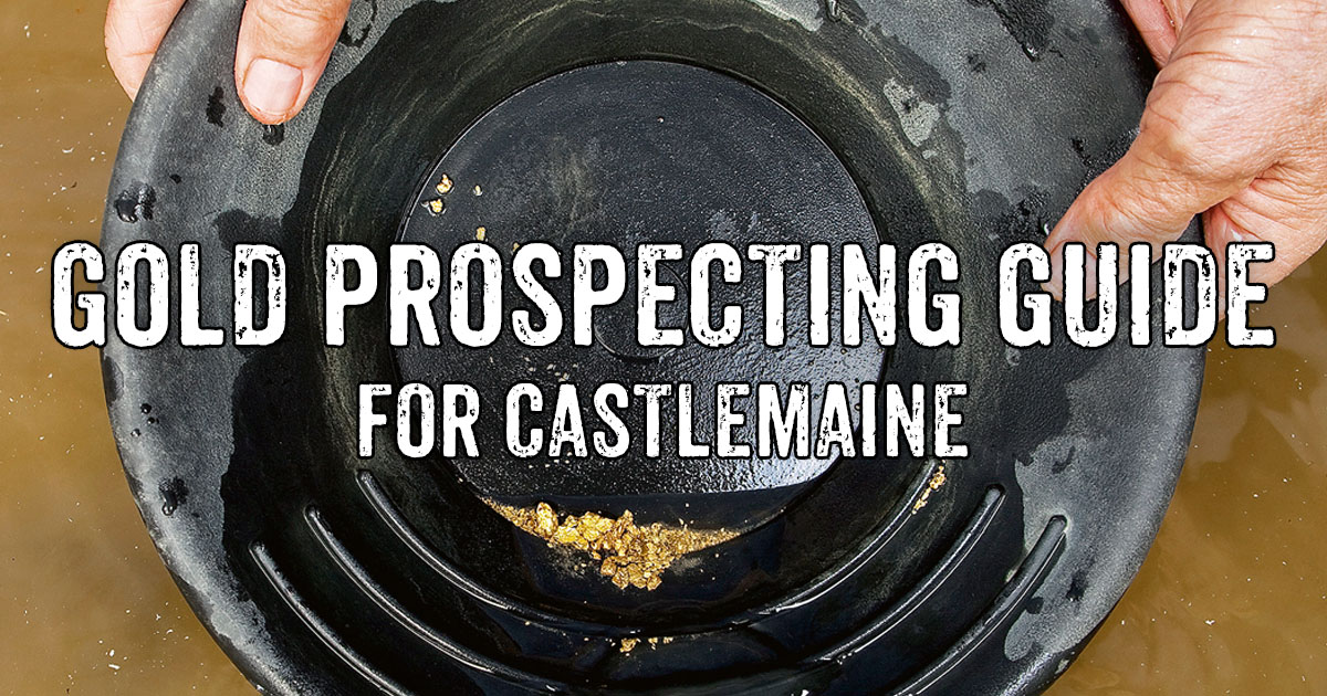
Whether you're looking to visit Castlemaine for gold detecting or to hit the creeks for some panning or sluicing, we've put together this handy gold prospecting guide to get you started in the area.
If you haven't already got one, be sure to grab a Miners Right before you head out looking for gold (you can purchase one here).
WHERE TO GO GOLD DETECTING AROUND CASTLEMAINE
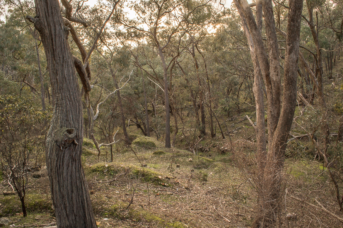
The Castlemaine area has a fantastic asset in the Castlemaine Diggings National Heritage Park, which protects the nationally significant historic cultural landscape of the Victorian gold rush.
This is also one of the few National Parks in Victoria which allows gold prospecting throughout most of the park, keeping the region's proud gold prospecting heritage in practice today.
As well as on crown land, gold prospecting is permitted in the following forests and reserves around Castlemaine.
Please note that this list is not complete (there are many smaller reserves throughout the area which aren't on this list), but will make a good starting point.
- Castlemaine Diggings National Heritage Park (designated areas only, see Parks Victoria's prospecting map for the Castlemaine Diggings National Heritage Park)
- Mount Alexander Regional Park
- Fryers Ridge Nature Conservation Reserve
- Chewton Bushland Reserve
- Chewton H86 Bushland Reserve
- Castlemaine H85 Bushland Reserve
- Harcourt Bushland Reserve
- Maldon Historic Area
- Walmer State Forest
- Upper Loddon State Forest
- Guildford I132 Bushland Reserve
- Guildford I133 Bushland Reserve
- Guildford H79 Bushland Reserve
- Muckleford State Forest
- Muckleford Nature Conservation Reserve
- Muckleford I135 Bushland Reserve
- Muckleford I136 Bushland Reserve
- Drummond I89 Bushland Reserve
- Drummond I90 Bushland Reserve
- Drummond I91 Bushland Reserve
- Kangaroo Creek Bushland Reserve
- Lauriston Bushland Reserve
- Burk Streamside Reserve
- Denver I87 Bushland Reserve
- Holcombe Scenic Reserve
- Dry Diggings Natural Features Reserve
- Dry Diggings Bushland Reserve
- Holcombe I84 Bushland Reserve
- Holcombe I85 Bushland Reserve
- Mt Franklin Reserve
- Franklinford Streamside Reserve
- Jim Crow Creek Streamside Reserve
- Franklin I6 Bushland Reserve
- Kennedy Gully Streamside Reserve
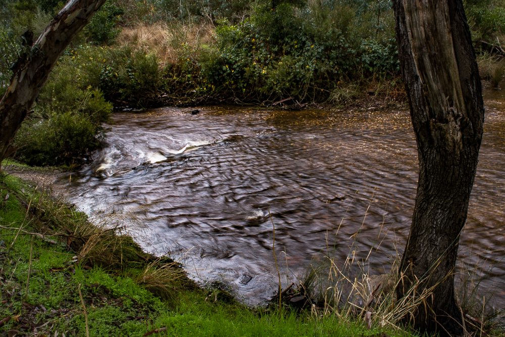
GOLD PANNING AND SLUICING AROUND CASTLEMAINE
Creeks and rivers where prospecting is not permitted
A few of the creeks rivers around Castlemaine are off limits for prospecting, with the Loddon River, Coliban River, Campaspe River, and Jim Crow Creek all appearing on Earth Resources' list of rivers and streams where you can't prospect for gold.
Creeks and rivers where prospecting is allowed
Compared to many other goldfields, the Castlemaine area has a substantial number of creeks and rivers which are open for gold prospecting, including:
- Forest Creek (of the famed Forest Creek Diggings)
- Campbells Creek
- Fryers Creek
- Barkers Creek
- Muckleford Creek
- Middleton Creek
- Tarilta Creek
- Nuggetty Creek
- Moonlight Creek
There are a huge amount of other small creeks and gullies throughout the area as well, though many are seasonal and some will only hold water for a short time after rains.
Just be sure to double check that their name does not appear on that list of restricted rivers and streams before heading out.
You may notice that Forest Creek and Campbell's Creek appear on the list of restricted rivers.
It refers to a different Forest Creek which is a tributary of the Campaspe River (up above Lake Eppalock), and a different Campbells Creek which is a tributary of the Avoca River (between Carapooee and Gowar East).
So the Forest Creek and Campbell's Creek in the Castlemaine area are fine for gold prospecting.
There are plenty of old mining dams throughout the bush which can be utilised for gold panning and highbanking as well.
These are easily spotted on Google Maps satellite view. These dams will generally hold water further into summer than the small seasonal creeks and gullies throughout the forests.
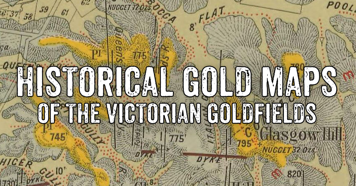
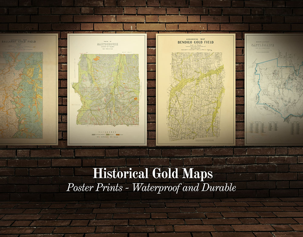
Maps for the area
- Castlemaine State Forests FFM Forest Notes and map
- Castlemaine Diggings National Heritage Park Parks Victoria prospecting map
- Historical gold maps of the Victorian Goldfields
GOLD SHOPS, PROSPECTING TOURS AND DETECTOR HIRE AROUND Castlemaine
The closest gold shops and tours are located nearby in Bendigo.
- Bendigo Miners Den Retail shop, prospecting maps, gold prospecting workshops
- Gold Finger Historic Tours and Prospecting Workshops - gold prospecting workshops, historic tours, gold prospecting equipment hire
INTERESTING GOLD MINING HISTORY AROUND Castlemaine
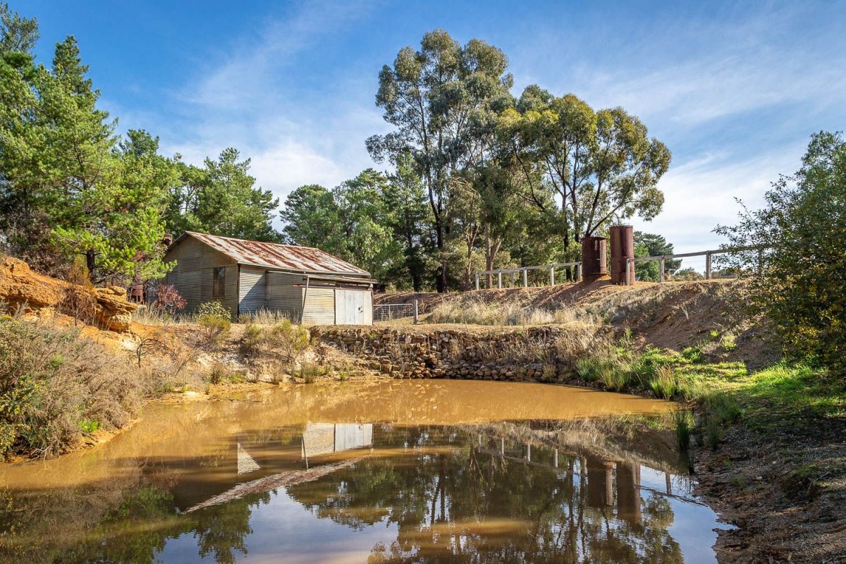
Forest Creek Historic Gold Diggings, Castlemaine VIC
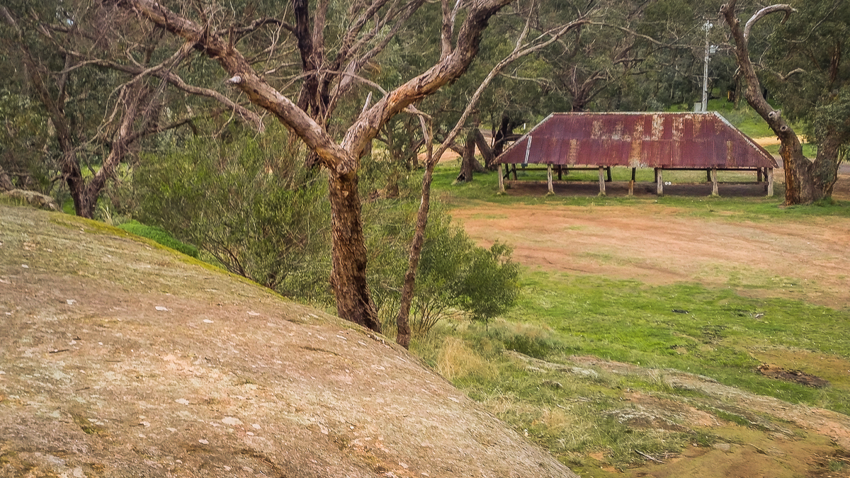
The area around Castlemaine is filled with fascinating ruins and relics of the region's rich mining history!
Places to explore include historic mines, old diggings, gold puddlers, surfaced areas, discarded boilers, and the remains of old cyanide plants.
These sites are definitely worth checking out while you're in the area:
- Forest Creek Historic Gold Diggings
- Garfield Water Wheel
- Pennyweight Flat Children's Cemetery
- Specimen Gully Ruins and Gold Memorial
- Eureka Reef
- Monster Meeting Site
- Mopoke Gully Water Wheel
- Herons Reef Gold Diggings
- Duke of Cornwall Engine House
- Red, White and Blue Mine
- The Junction Walk
- Dunns Reef
- Red Knob Mining Landscape
- Porcupine Flat Gold Dredge and Dragline (over near Maldon)
FREE CAMPGROUNDS AROUND Castlemaine
Butts Reserve, Maldon VIC
- Chokem Flat, Irishtown, 12 minutes from Castlemaine
- Warburtons Bridge, Glenluce, 15 minutes from Castlemaine
- Red, White and Blue Recreation Area, Muckleford, 15 minutes from Castlemaine
- Oven Rock Campground, between Chewton and Elphinstone, 16 minutes from Castlemaine
- Leanganook Campground, Mount Alexander Regional Park, 17 minutes from Castlemaine
- Vaughan Springs, Vaughan, 17 minutes from Castlemaine
- Butts Reserve, Maldon, 19 minutes from Castlemaine
- Mount Franklin Reserve, Mount Franklin, 26 minutes from Castlemaine
STAY SAFE WHILE GOLD PROSPECTING
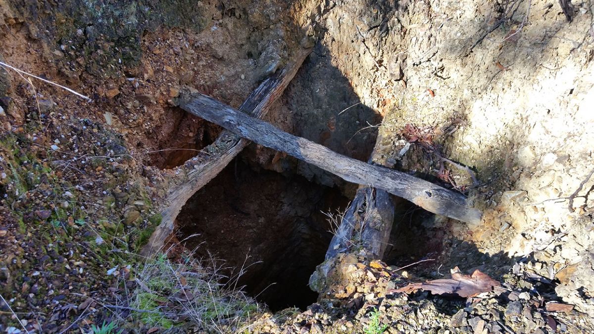
Always be wary where you are walking when gold detecting in the bush, as there are lots of unexpected open mine shafts throughout the area. You will also encounter uneven ground, slippery clay in wet weather, and there is always the possibility of encountering snakes in summer. Always let someone know where you are going before heading out bush.
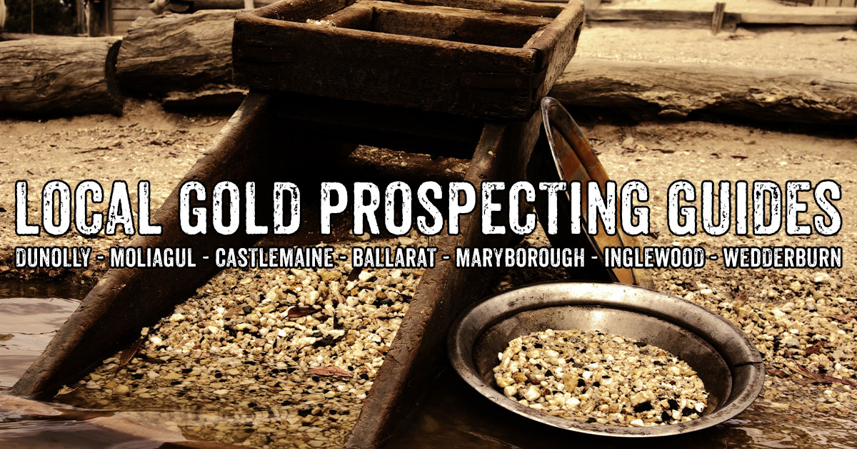
Other local gold prospecting guides
- Ballarat gold prospecting guide
- Maryborough gold prospecting guide
- Dunolly and Moliagul gold prospecting guide
- Inglewood and Wedderburn gold prospecting guide
SEE ALSO
- Guide to gold prospecting in the Victorian Goldfields
- Places to prospect in the Victorian Goldfields
- Interactive map showing lots of places to prospect in the Victorian Goldfields
- Gold-bearing creeks and rivers in Victoria
- Crevicing for gold in creeks and rivers
- Researching gold prospecting and history - online resources
- Surfacing in the Victorian Goldfields
- Gold shops, detector hire and gold tours in the Victorian Goldfields
- YouTube channels from the Victorian Goldfields
- Dangers of mine shafts in the Victorian Goldfields
- Online directory of Victorian gold maps
- Gold prospecting maps for Victoria's State and National Parks
- Historical gold maps of the Victorian Goldfields
- How to read historical gold maps
- Gold history locations on Goldfields Guide
PROSPECTORS AND MINERS ASSOCIATION VICTORIA

Established in 1980, the Prospectors and Miners Association of Victoria is a voluntary body created to protect the rights and opportunities of those who wish to prospect, fossick or mine in the State of Victoria, Australia.
You can support the PMAV in their fight to uphold these rights by becoming a member. You'll also gain access to exclusive publications, field days, prospecting tips, discounts and competitions.
Check out the PMAV website for more information.