The following text is included on Parks Victoria's information sign at Expedition Pass Reservoir:
Forest Creek flows from the granite slopes of Mount Alexander, Leanganock, through Expedition Pass Reservoir, towards Chewton then west to Castlemaine.
The creek joins with Barkers Creek to form Campbells Creek which flows into the Loddon River at Guildord.
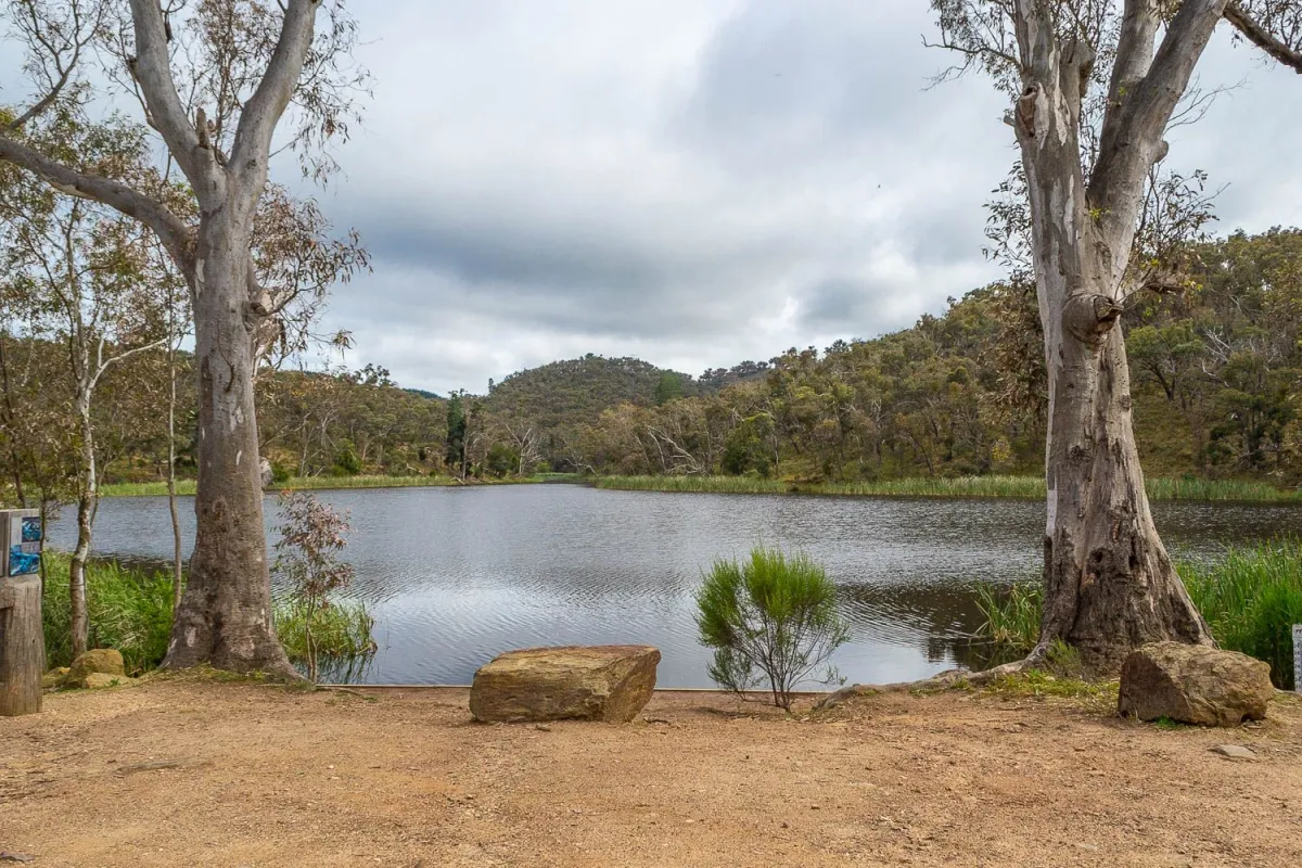
Expedition Pass Reservoir sits below the 'ravine' named by Major Mitchell on his Australia Felix expedition in 1836.
In 1851, Forest Creek became the site of a major gold strike and many thousands of prospectors would have accessed the valley through this pass.
The reservoir was completed in 1868. It was filled from the surrounding hills but also fed from the newly constructed Malmsbury-Bendigo water race.
It supplied water locally for only four years (1870 - 1874) when silting reduced capacity so severely that an alternate supply to Chewton and Castlemaine was secured with connection from the Coliban Main Channel.
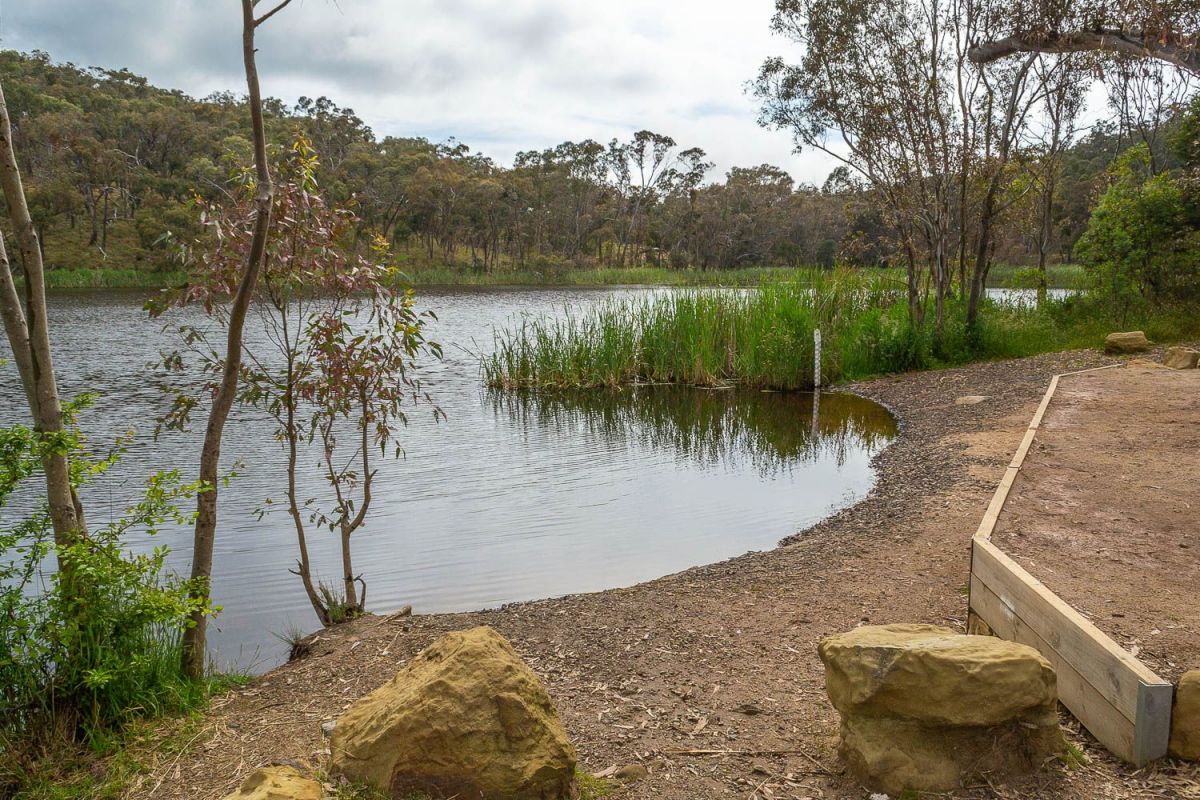
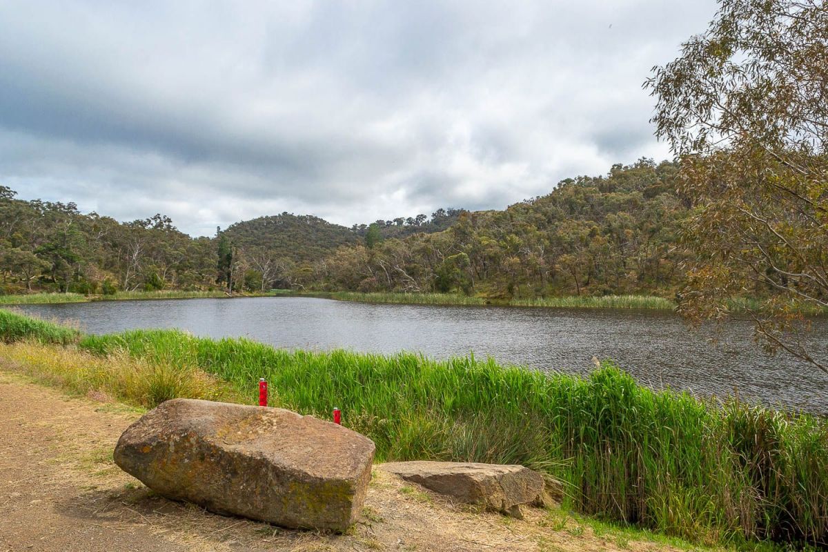
The reservoir remained intact, a picturesque oasis increasingly used for recreational pursuits, including angling and boating.
In 1994, Coliban Water considered that the water held in Expedition Pass Reservoir was superfluous to requirements and intended to decommission the reservoir, with one option being to breach the wall and release the water.
Eventually management was taken over by Mount Alexander Shire. Works undertaken by Coliban Water prior to the handover included the spillway being lowered to reduce capacity to accommodate 1 in 100 year floods, and the widening and strengthening of the dam wall.
In 2002 the Reservoir was included in the Castlemaine Diggings National Heritage Park and is now managed by Parks Victoria.
Castlemaine Diggings National Heritage Park - Forest Creek Track
You are on the Forest Creek Track. You can follow the red-capped track posts from North Street, Chewton to the
Monster Meeting Site (1 km), then to Chinamans Point (1.3 km) then to Expedition Pass Reservoir (2.4 km).
The Forest Creek Track links up with the Goldfields Track (
www.goldfieldstrack.com.au) at North Street, Chewton and again at the corner of Llewellyn Road and Chapel Street, below Expedition Pass Reservoir, creating a loop path through the Castlemaine Diggings National Heritage Park along the Golden Point reach of Forest Creek and up into the surrounding healthy dry forest.
The Castlemaine Diggings National Heritage Park is the first of its kind in Australia and is registered on the Victorian Heritage Register (December 2003) and the National Heritage List (January 2005). It is the largest non-indigenous protected cultural landscape in Australia, embracing a landscape rich in gold rush relics and recovering bushland. Home to rare and threatened species of flora and fauna, the park offers opportunities for bush walking, bird watching, wildlife monitoring and study.
Parks Victoria works in partnership with the Dja Dja Wurrung People, the Traditional Owners, shaping the ongoing management of the park.
Caring for the park:
- Please take rubbish with you for recycling or disposal.
- All plants, animals, archaeological sites and geographic features are protected by law.
- Dogs must be kept on a leash at all times and are not permitted within Expedition Pass Special Protection Area.
- Prospecting is permitted in designated areas and prospectors must hold a current Miner's Right. Firearms are prohibited.
- Castlemaine Diggings National Heritage Park is in the Central Total Fire Ban District. Be aware of forecast Fire Danger Ratings for this fire district. Plan to leave early on hot, dry and windy days as conditions may cause the closure of the park for public safety. For further information call the VicEmergency Hotline 1800 226 226.
- Keep to the track to avoid old mine workings such as shafts and tunnels.
- It can be cold and wet in winter and very hot and dry in summer. Watch out for snakes.
For further information:
Parks Victoria 131 963 or visit
www.parks.vic.gov.au or visit the Castlemaine Visitor Information Centre Mostyn Street Castlemaine. Phone: (03) 5471 1795.
Drinking water and public toilets are available in Chewton.
Wildlife Victoria Help Line 1300 094 535.
HISTORICAL MAP OF THE CASTLEMAINE MINING DISTRICT, 1860
Map of the Castlemaine Mining District which shows historical features in superb detail, including mining divisions, reefs, gullies, and gold workings. Mining Department, Melbourne, 1860. High quality, durable A1 print in a satin finish. Large, 594 x 891 mm. Go to online shop.
GOLDEN NUGGET DISCOVERY TOURS
Experience the best Victoria has to offer with
Golden Nugget Discovery Tours, a genuine Ecotourism Operator offering a wide range of nature, heritage and adventure tours throughout the many unique regions of Western and Central Victoria. Guided tours are available across the Goldfields, Daylesford & Spa Country, Pyrenees Wine Region, Grampians National Park, and Great Ocean Road!


I was surprised to see that bathers are apparently optional!
�