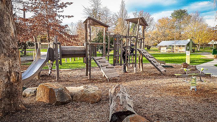
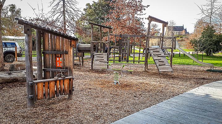
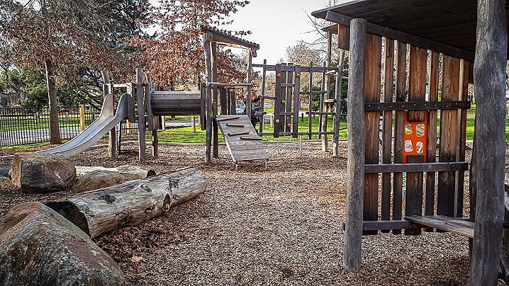
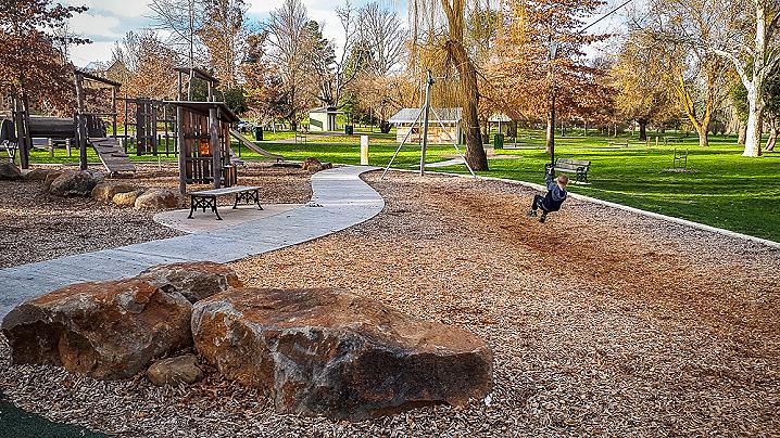
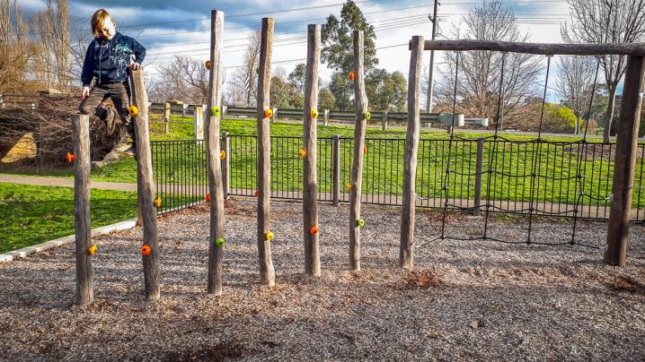
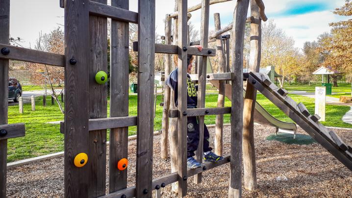
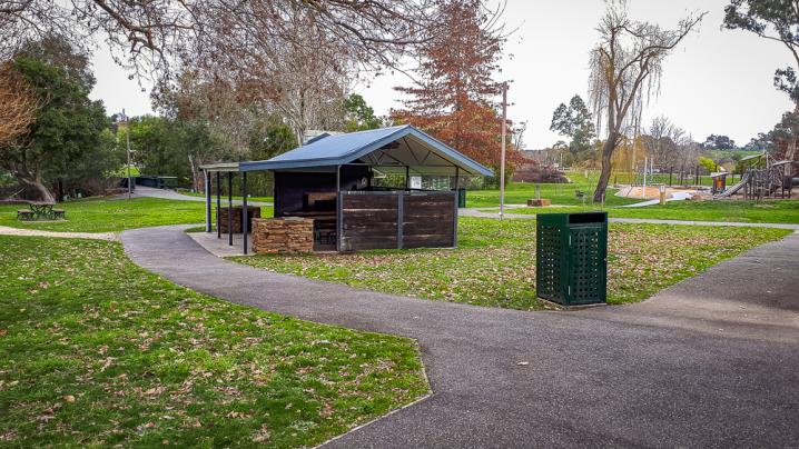
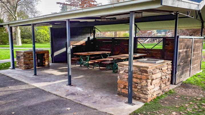
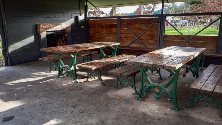
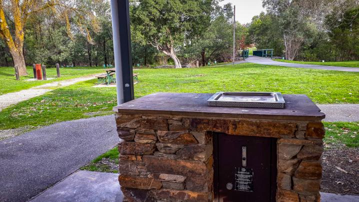
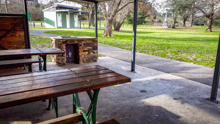
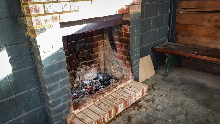
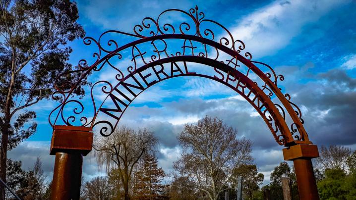
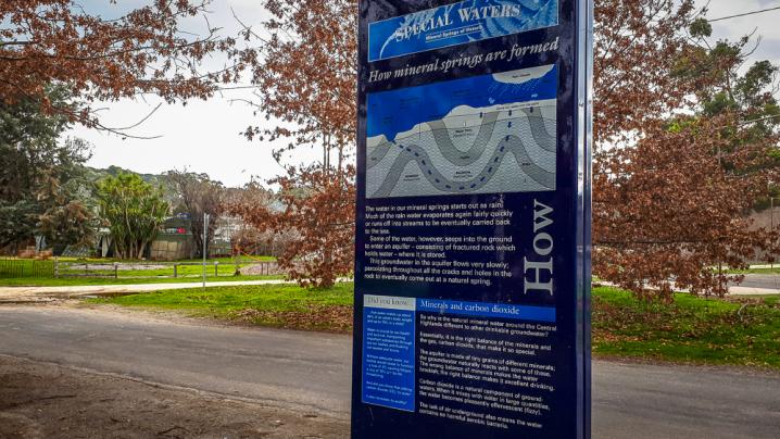
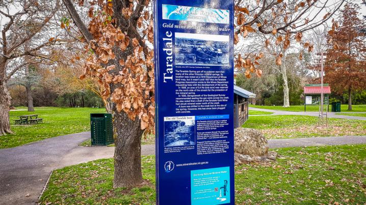
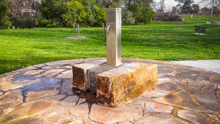
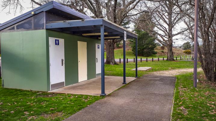
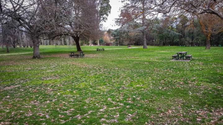
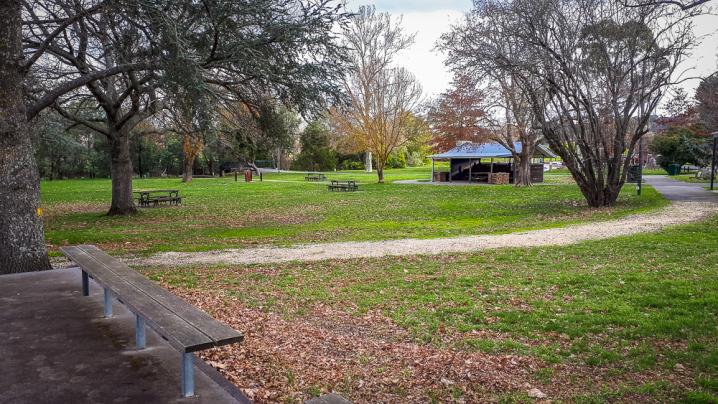
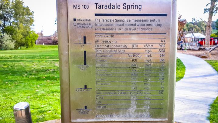
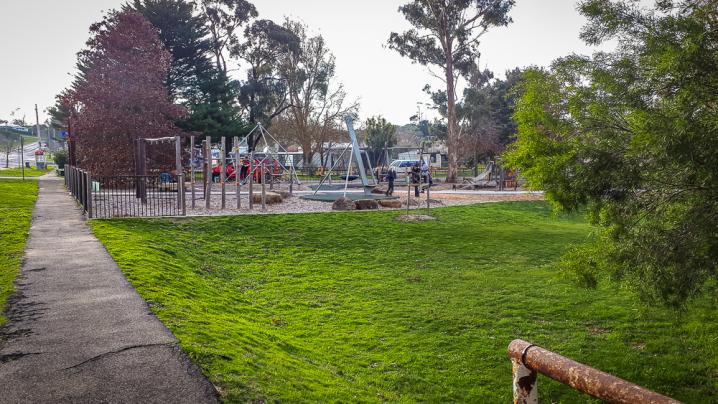
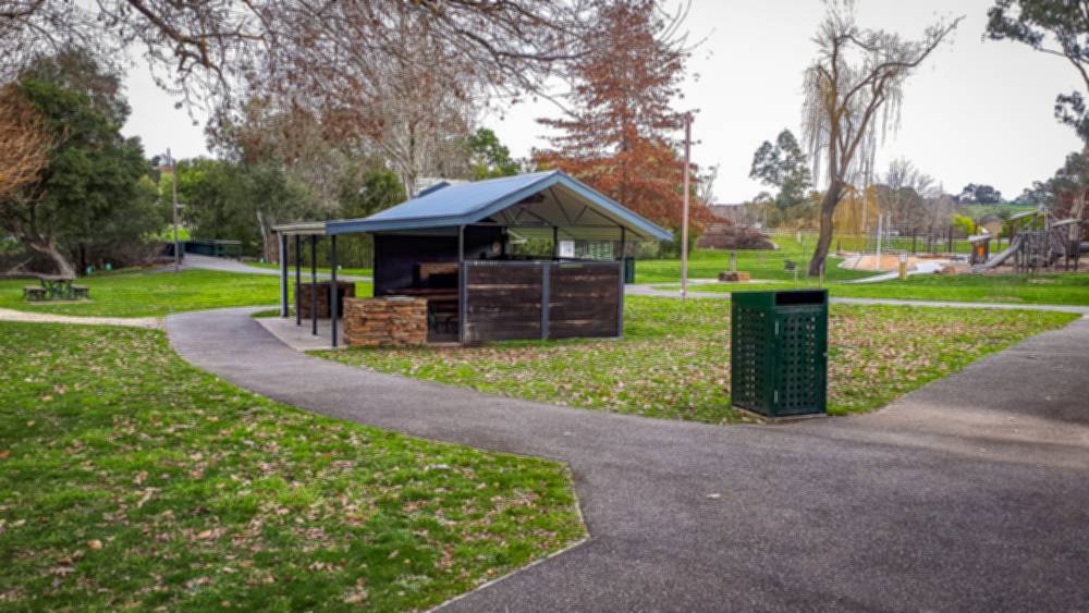
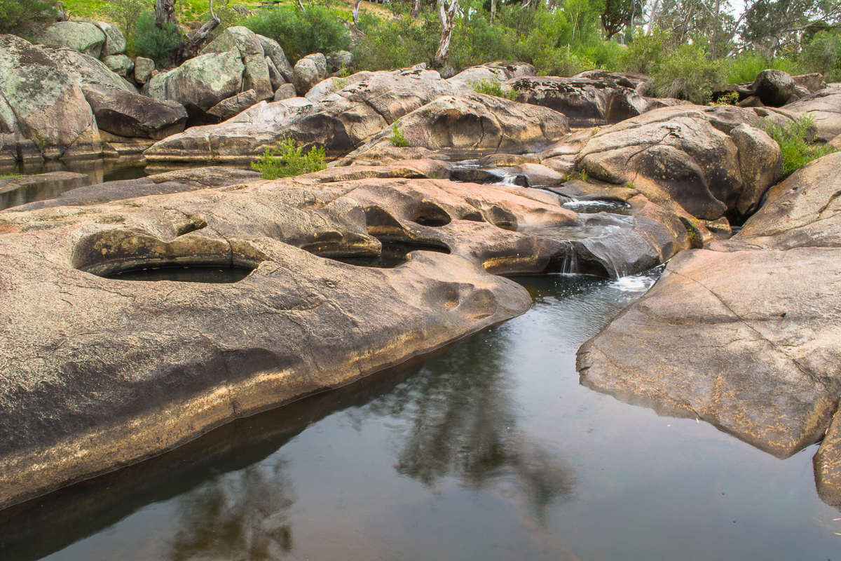
The Taradale Mineral Springs Reserve is a fantastic public space which features a creatively designed wooden playground, a mineral spring tap, beautiful scenery along Back Creek, many walking tracks to choose from, and an undercover barbecue area complete with open fire place.
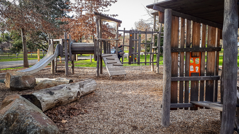
The playground has lots of great play equipment and is fenced on the road sides, but not completely enclosed.
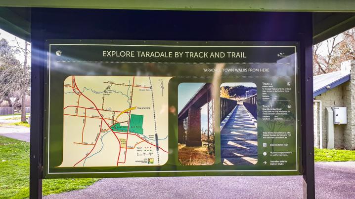
An information sign at the Taradale Mineral Springs Reserve provides map and details on the following walks:
TARADALE TOWN WALKS FROM HERE
Viaduct Walk
- Distance - 1 km
- Gradient - Flat
- To Taradale Viaduct and site of Royal Oaks. Access to Barkly Park. Picnic table.
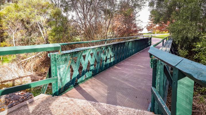
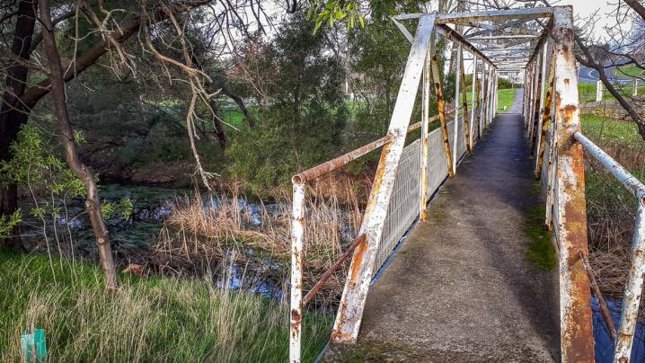
King Billy Bridge Circuit
- Distance - 2 km
- Gradient - Gentle hills
- Cross creek via King Billy Bridge for views over town and surrounds
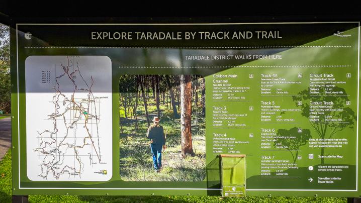
TARADALE DISTRICT WALKS FROM HERE
Coliban Main Channel (Taradale Section)
- Distance - 13 km
- Gradient - Short steep hills
- Historic water channel along forest edge.
Tyquins Road
- Distance - 4.5 km
- Gradient - Short, steep hills
- Open country stunning views of Back Creek landscape.
Old Drummond Road
- Distance - 4km
- Gradient - Gentle hills
- Open and tree-lined sections with views of olive groves.
Deardens Creek Track
- Distance - 3 km
- Gradient - Gentle hills
- Start as for 'Old Drummond Road' track with shorter route to Channel.
Fryerstown Road
- Distance - 2 km
- Gradient - Short, steep hills
- Historic buildings, views, small farms and vineyard.
Cypress Drive
- Distance - 2 km
- Gradient - Gentle hills
- Tree-lined track leading to views over Tara Lake.
Cemetery and Wright Street
- Distance - 3.5 km
- Gradient - Gentle hills
- Open country, tree-lined sections, passing historic Taradale Cemetery.
Sargeants Road Circuit
- Distance - 2.5 km
- Gradient - Short, steep hills
- Open country, tree-lined sections with kangaroo sightings.
Conlans Road Circuit
- Distance - 6.5 km
- Gradient - Short, steep hills
- Open country with broad views of Back Creek.
More to explore nearby