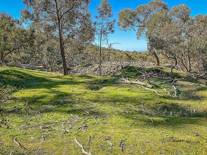
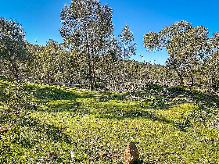
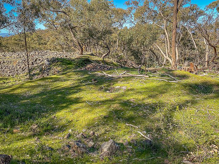
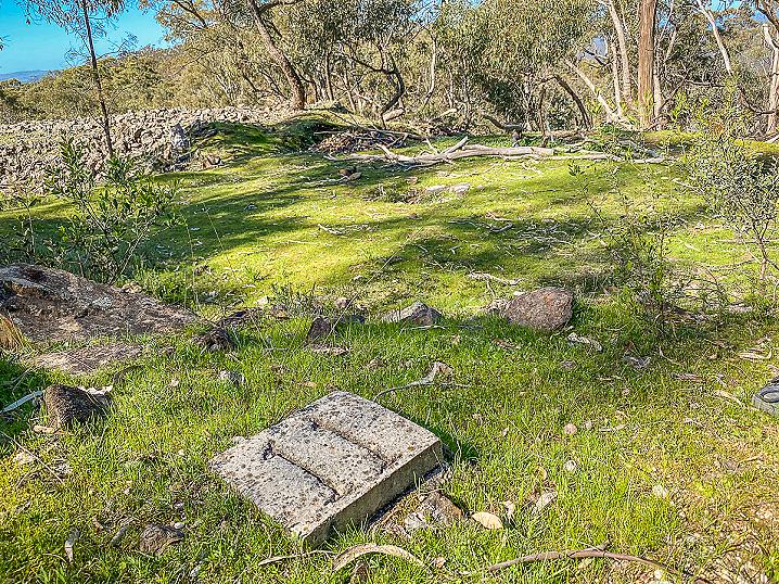
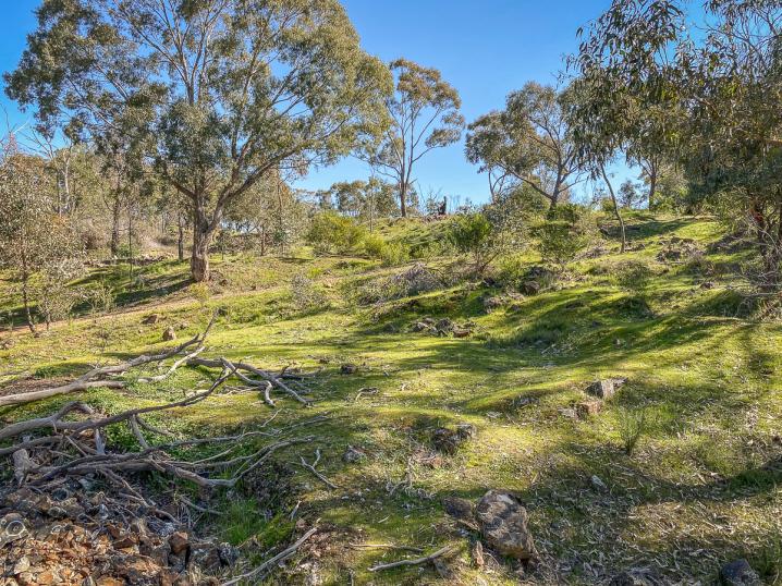
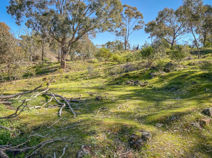
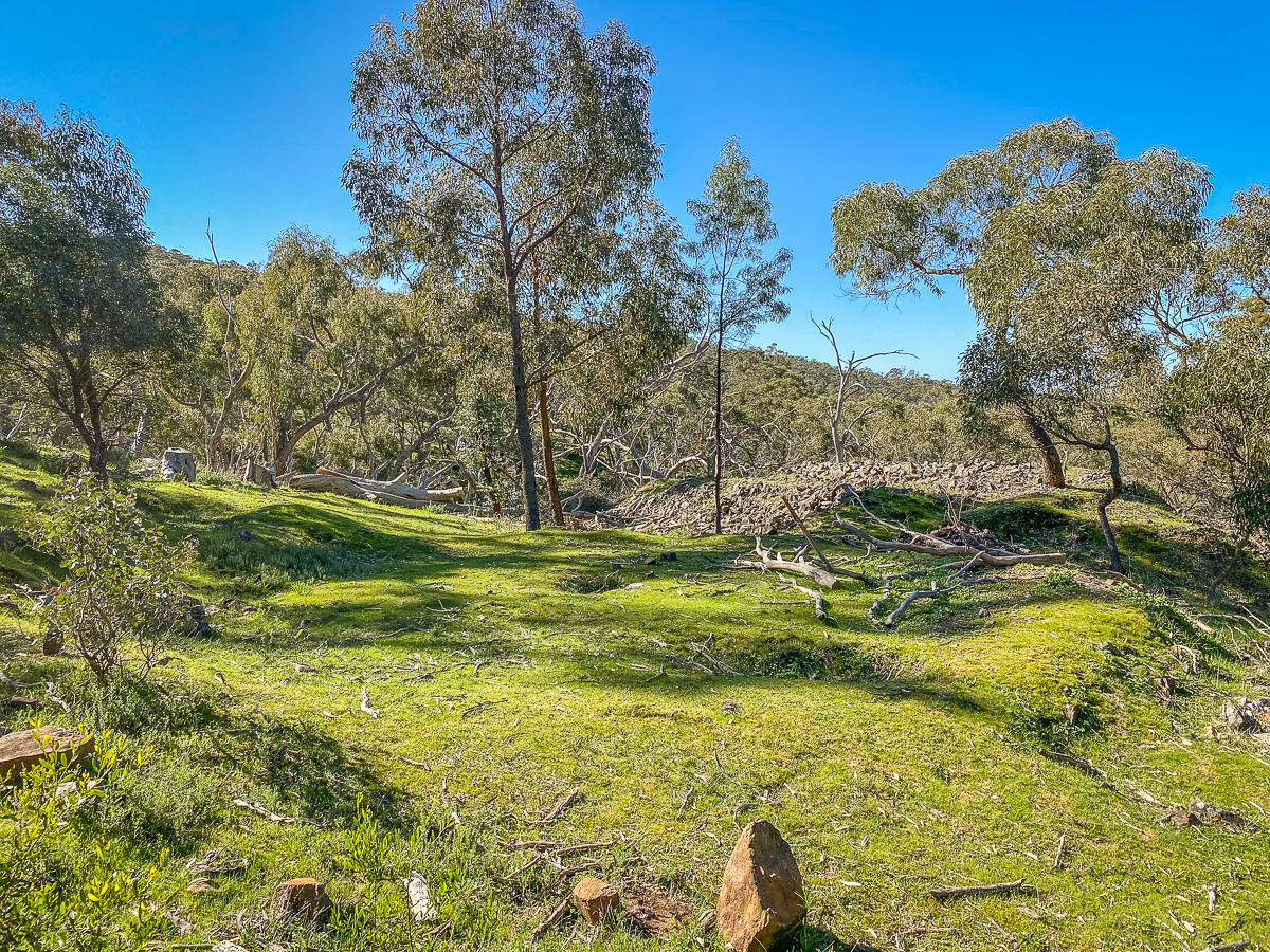
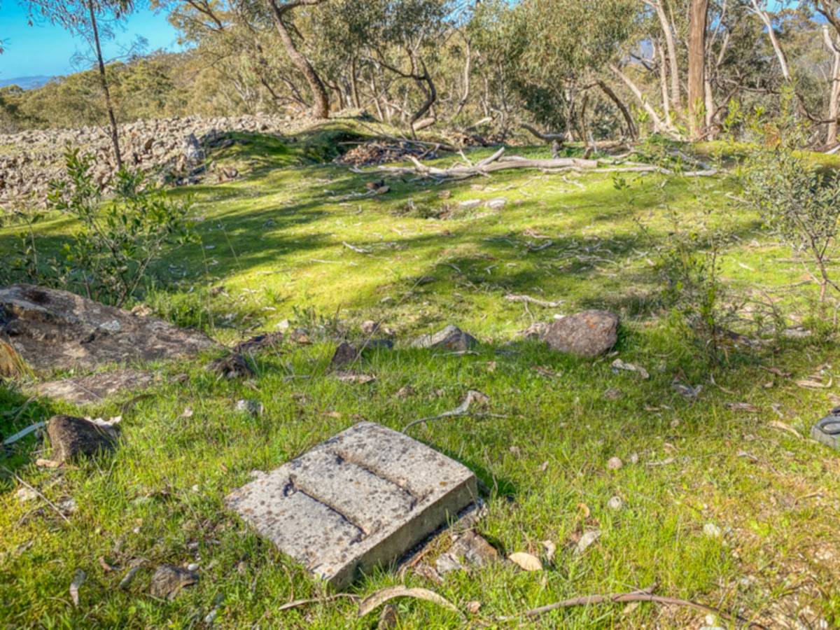
A well defined whim platform sits beneath Mount Tarrengower, alongside Cox Track in Maldon.
This whim platform still has its centre post hole for the whim drum, and the narrow path worn by the horse walking around the platform.
The associated mine shaft and mullock heaps are present.
This whim platform is located near the intersection of Cox Track and Ridge Track, see map above for exact location.
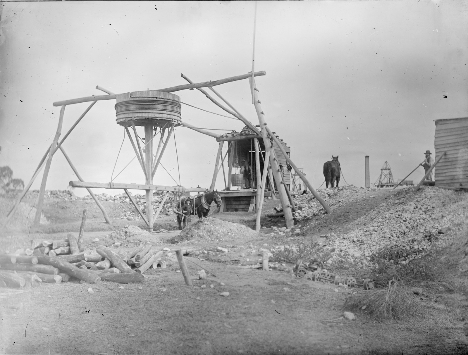
What is a whim?
A whim is a device used to haul ore up a shaft, similar in concept to the man-powered windlass and the horse-powered whip, but more complex and capable of lifting more efficiently and from deeper shafts.
A rope is wound around a vertically mounted wooden drum, with both ends passed over pulleys and then run down the shaft.
A horse is harnessed to the device and led around a circular track, winding the drum, which will lower one end of the rope (carrying an empty bucket down the shaft) while raising the other (carrying a full load up).
Lisle's Reef Walk
This whim platform is included in the self-guided "Lisle's Reef Walk", which begins at the
Mount Tarrengower Poppet Head Lookout and travels down the mountainside, passing an extensive assortment of mining relics.
Small workings, a blacksmith shop, multiple whim platforms, mullock heaps, and impressive quartz kilns are just some of the featured points along the walk.
Brochures for the Lisle's Reef Walk are available from the Maldon Visitor Information Centre, 93 High Street, Maldon.
More to explore nearby
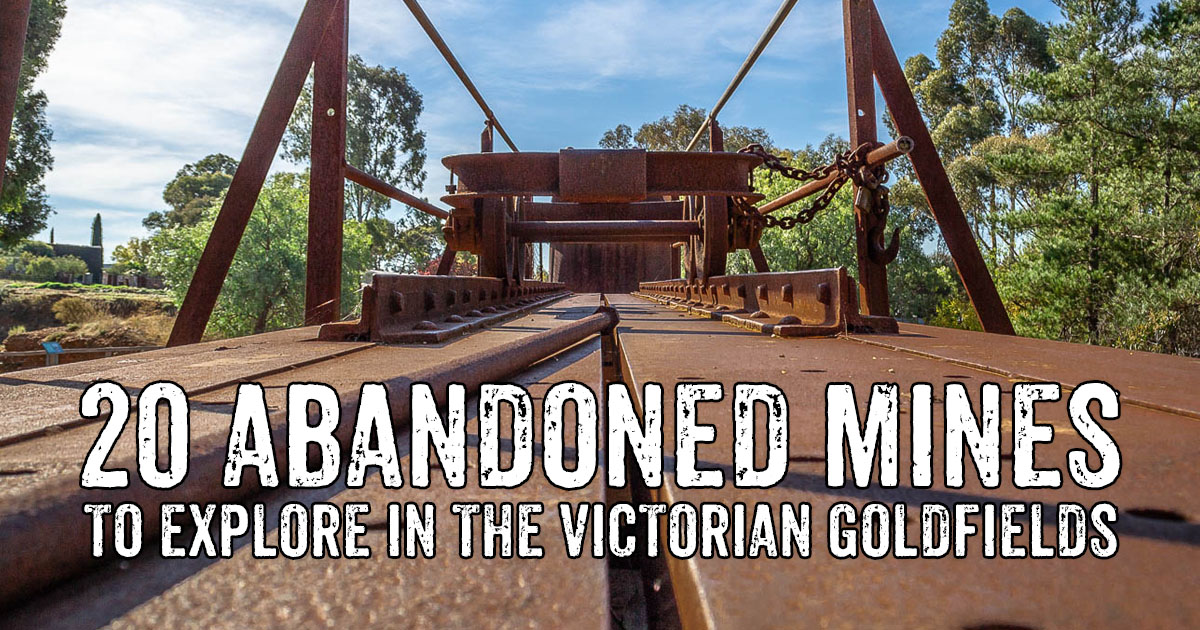
The Victorian Goldfields is filled with fascinating ruins and relics, where abandoned mines, diggings, boilers, machinery foundations and gold puddlers are scattered in abundance throughout the region. We've gathered together this
list of abandoned mine sites where you can safely explore and learn a bit about this remarkable aspect of our local heritage.
Historical resources such as old newspapers and
goldfields maps are extremely valuable when researching gold rush history, or searching for
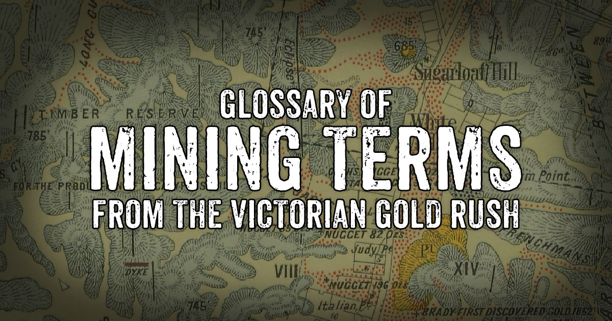
potential new gold prospecting locations. A quick look through these historical resources soon reveals a plethora of both technical and casual terms relating to gold, mining, miners and geology, and you will find that having an understanding of some of this terminology comes in very handy.
This collection of gold mining terms and their definitions have been selectively extracted from R. Brough Smyth's
The Goldfields and Mineral Districts of Victoria, originally printed in 1869 and made available online by the Geological Survey of Victoria. Smyth's glossary was written during the first few decades of the Victorian gold rush and offers a valuable insight into the terminology of the time.
Click to read the glossary of mining terms.
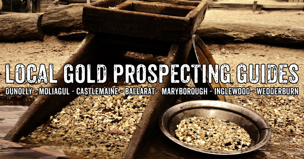
Are you looking to try your luck gold detecting, panning or sluicing in the Victorian Goldfields? People have been prospecting for gold in the Victorian Goldfields since the 19th century gold rush saw the entire state turned upside down with gold fever! Many of the world's largest alluvial gold nuggets were found in the area, and modern day prospectors continue to make significant gold discoveries throughout the region today.
These handy
online gold prospecting guides provide useful information on local spots for detecting, panning and sluicing, maps for the area, local gold shops and detector hire, free campgrounds nearby, and interesting gold mining history.
![]()
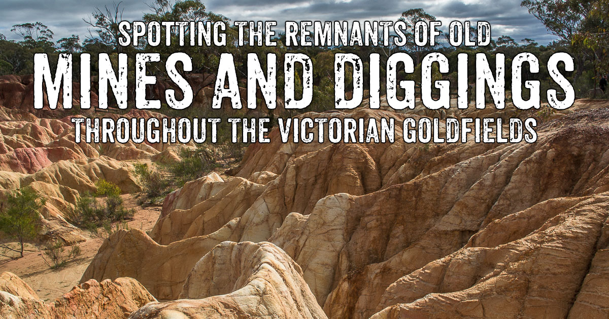
The Victorian Goldfields are filled with ruins and remnants of the area's rich mining history, ranging from small alluvial diggings to the remains of huge mining companies. If you spend time in the local bush, you've probably come across some residual features of old mining operations. This page provides examples and images of these historical features as they appear across the Victorian Goldfields, which I hope will help others to recognise them along their own travels through the region.
Click to learn more about the remains of mine shafts, mine adits, open cut mines, hydraulic sluicing sites, surfacing areas, gold puddlers, stamp batteries, boilers, water wheels, gold dredges, whims, water races, and cyanide vats.
PROSPECTORS AND MINERS ASSOCIATION VICTORIA
Established in 1980, the Prospectors and Miners Association of Victoria is a voluntary body created to protect the rights and opportunities of those who wish to prospect, fossick or mine in the State of Victoria, Australia.
You can support the PMAV in their fight to uphold these rights by
becoming a member. You'll also gain access to exclusive publications, field days, prospecting tips, discounts and competitions.