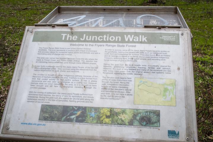


The Junction Walk
The following information can be found in the Forest Notes for the Castlemaine State Forests:THE JUNCTION WALK
Welcome to the Fryers Range State Forest
The Fryers Range State Forest is part of the Central Victorian Goldfields. The area represents a precious and unique environment that provides habitat for numerous native plants and animals and tells a fascinating story of change and survival.
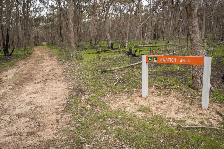
This area was named the Junction because it was the site where the roads to Forest Creek and Fryers Creek diverge. The Junction has an interesting history which has gone through many different phases.
It was firstly a passage used by the Jaara Jaara People, of the Dja Dja Wurrung language group. They survived using the resources from the natural environment for food, shelter and medicine.
The Junction is throught to be an Indigenous pathway because of the discovery of trachyte pieces in the area. Trachyte is a rock formed from lava that cooled quickly on the earth's surface. It has a glassy appearance and was used by Aborigines as a cutting tool. However trachyte does not occur naturally in the area, so it is thought to have been brought and left here by Aborigines travelling through the Junction passage.
With the coming of settlement, the Jaara Jaara People suffered from diminished food sources, the taking of land for agriculture, and bloody massacres. During the gold rush, the search for alluvial gold along the waterways resulted in the loss of campsites, feeding grounds and the violation of sacred areas.
In order to survive, some of the Jaara Jaara People became guides on the goldfields, helping the miners with skills such as traditional bush craft, food and knowledge for survival. They also found work as traders and as laborers in the mines or on farms. Some even became Indigenous Troopers, enforcing laws, tracing lost people, and escorting pack-horse convoys of gold to Melbourne.
During the gold rush the local forests were dramatically cleared for firewood, goldmining structures, housing, fences and railways. However, this bush is very resilient and many of the eucalypts you see here today have grown from the original ancient root systems below the ground, assisting the forest's recovery.
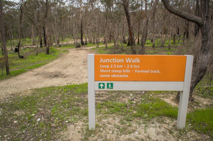
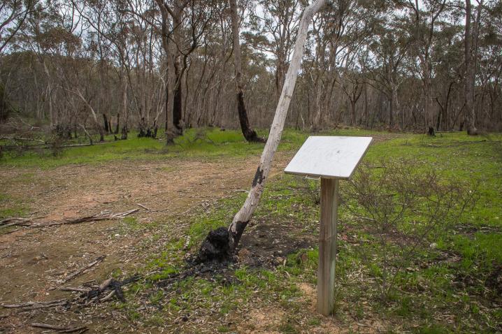
The Junction walk begins here and is an easy 4 kilometre loop through the forest. Along the walk, interpretive information boards tell some interesting stories of The Junction's natural and historical landscape. After your walk, why not have a picnic by the dam to take in the beautiful surrounds?
SEE ALSO
The Junction in Fryers Range State Forest was once along a busy route used by Aborigines and later by European settlers traveling to Castlemaine from Melbourne via Fryerstown. The Junction Hotel opened in 1854 and was a popular resting point for travellers. Even busier times were ahead with the coming of the railway and the temporary town established for the large construction crews necessary to build the tunnel, cuttings, bridges, embankments, and later the dam constructed to service steam trains.
Evidence of this past remains throughout the forest today. The intricate stone sump on the bottom of the dam and the cobbled stone roads were made by the 200 German stone masons who worked in the area. You may find old fireplaces and see the footings of the old bridge on the original road to Fryerstown and mullock from the tunnel (which buried the Junction Hotel) covers the surface.
The Junction Walk starts at the Railway Dam and is about a 4km easy walk taking you around this historic site.
