Browse by Tag
BBQ
Educational
Free camping
Gold history
Gold prospecting
Swimming
Walking track
Search

Central Nell Gwynne Poppet Head

  • 20201214 dsc 2711
  • 20201214 dsc 2707
  • 20201214 dsc 2708
  • 20201214 dsc 2715
  • 20201214 dsc 2706
  • 20201214 dsc 2709
  • 20201214 dsc 2713
Ernest Street, West Bendigo VIC 3550

Explore other locations around this area using our interactive map

Features

  • Poppet head
  • Machinery foundations
  • Walking tracks
The poppet head of the Central Nell Gwynne mine is an iconic landmark in Bendigo, lying just down the road from the poppet head lookout at Victoria Hill

The Central Nell Gwynne was the premier mine of Bendigo's 1930s mining revival, and is of high historical value due to the extensive and relatively intact features which remain at the site. 


The impressive poppet head stands alongside a gravel parking area. Constructed of tubular steel, the poppet head has been restored and painted. 

To the south of the poppet head there are concrete winding engine and compressor beds, and to the west you will find the concrete footings, floor and engine beds of a 20-head stamp battery.

The remains of the Central Nell Gwynne main shaft and machinery plant are a fascinating place to explore, but stick to the walking tracks as there are over forty mine shafts recorded at the site. 


The following article was printed in The Argus, Wed 16th November 1932:

Central Nell Gwynne.

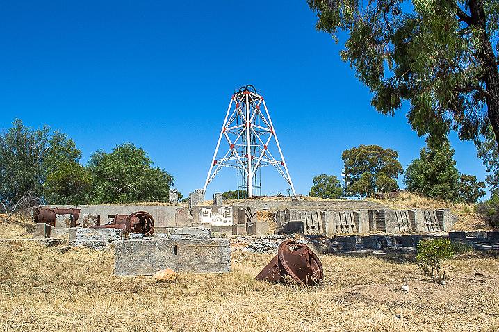
BENDIGO, Tuesday. - The Nell Gwynne anticline, the most productive of gold of the many lines of reef worked on the southern portion of the Bendigo goldfields, is to be further developed in the central area by the Central Nell Gwynne Company. 

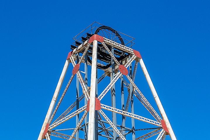
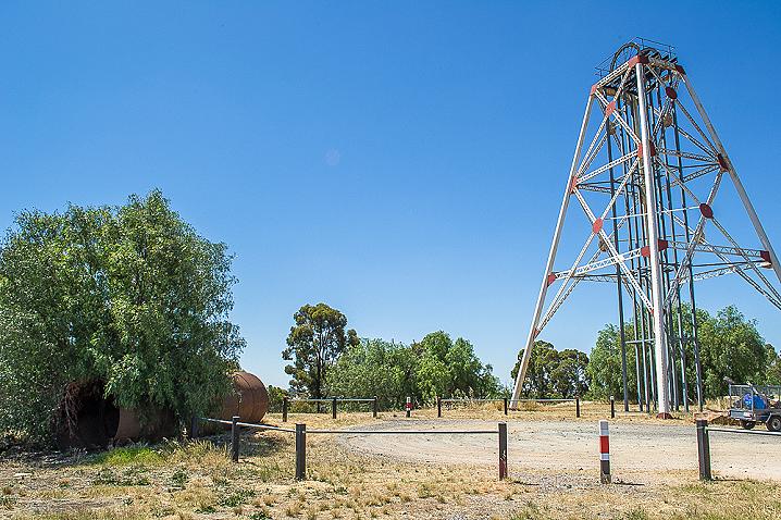
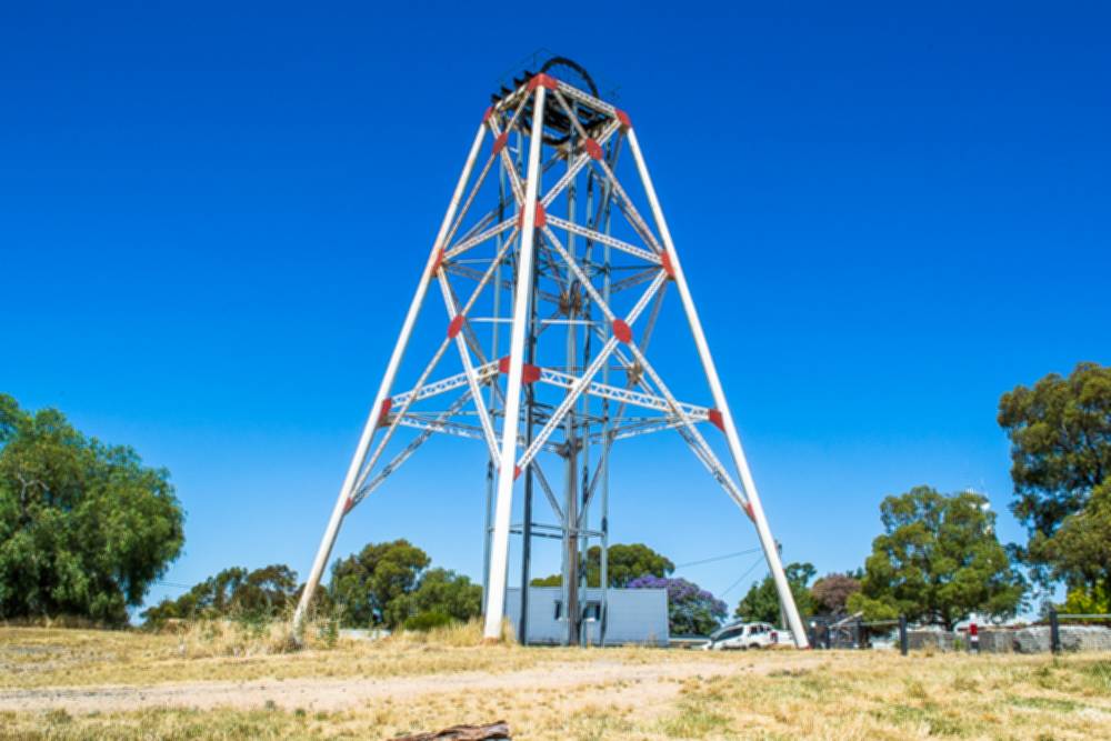
The erection of winding and air-compressing machinery has been completed, and after the unwatering of the shaft, which is 516ft deep, sinking will be proceeded with. The property is on the dome of the field at Victoria hill, adjacent to many of the largest gold-producing mines on the other anticlines. 

According to the Mines department geological survey the matching beds in which a rich reef was worked on the next line east, the New Chum anticline, are due to be reached in 150ft of sinking. Special interest will be [--?--] in development by the company of the deeper zones. 

More than 50 years ago a reef was worked successfully near the surface in the northern portion of the property. It is intended to test this reef farther north from a shaft which is down about 260ft. 

The company has a good holding of ground adjoining on the north, the New Chum Syncline, in which ore deposits at shallow depths are attracting some attention in this section of the field. 

GEOLOGICAL MAP OF THE BENDIGO GOLD FIELD, 1923


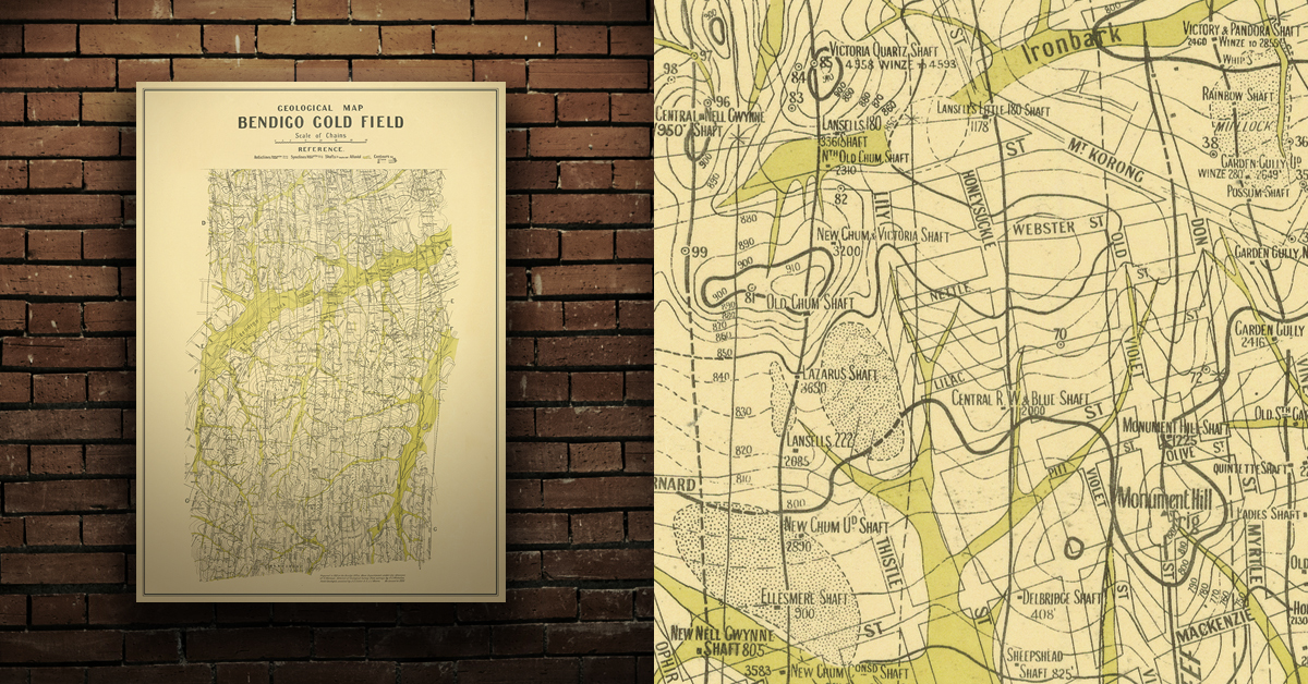
Geological map of the Bendigo gold field which shows historical features in superb detail, including mine shafts/companies, gullies, lines of reef, dams, and sand heaps. Originally prepared in the Bendigo Office, Mines Department, 1923. High quality, durable A1 print in a satin finish. Large, 594 x 891 mm. Go to online shop.
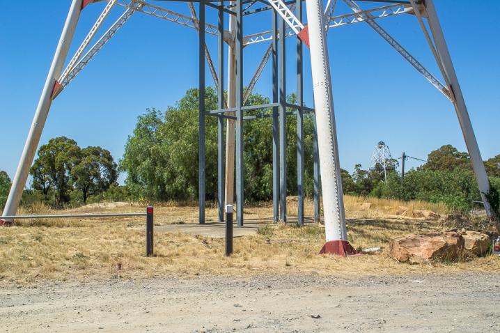
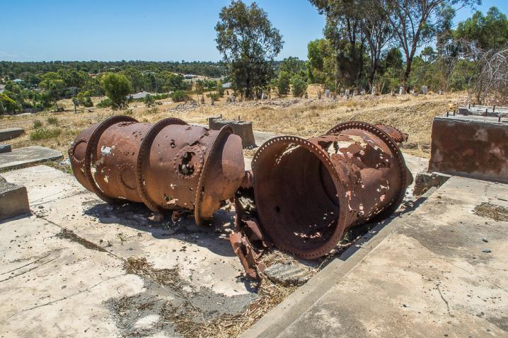
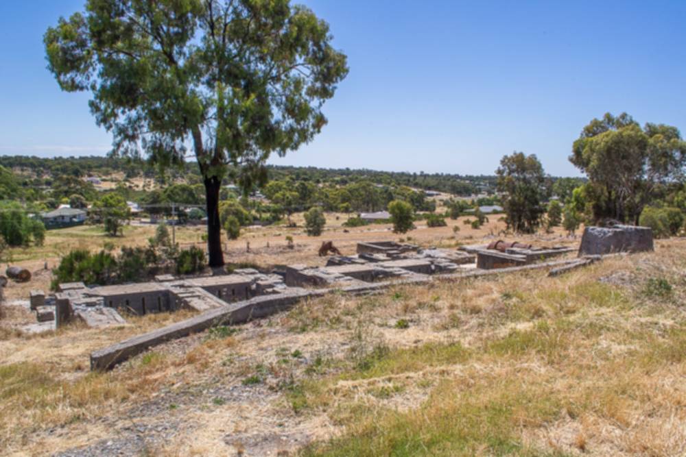
PROSPECTORS AND MINERS ASSOCIATION VICTORIA


Established in 1980, the Prospectors and Miners Association of Victoria is a voluntary body created to protect the rights and opportunities of those who wish to prospect, fossick or mine in the State of Victoria, Australia.

You can support the PMAV in their fight to uphold these rights by becoming a member. You'll also gain access to exclusive publications, field days, prospecting tips, discounts and competitions.

Check out the PMAV website for more information.

SEE ALSO


DID YOU KNOW...

  • Evidence of the mid-late 1800's gold rush can be found throughout the Victorian goldfields in the form of abandoned mine shafts and tunnels, mullock heaps, buildings and ruins, circular puddling troughs, remains of cyanide vats, and quartz kilns.
 

Comments

No comments

Leave a comment

Follow us on Facebook