Browse by Tag
BBQ
Educational
Free camping
Gold history
Gold prospecting
Swimming
Walking track
Search

Alma Lead Cyanide Works

  • 20200908 img 1679
  • 20200908 img 1675
  • 20200908 img 1681
  • 20200908 img 1674
  • 20200908 img 1680
  • 20200908 img 1676
  • 20200908 img 1678
  • 20200908 img 1677
  • 20200908 img 1682
  • 20200908 img 1673
  • 20170901 165209
  • 20170901 170557
  • 20170901 170622
  • 20170901 170631
  • 20170901 165330
  • 20170901 165535
  • 20170901 165600
  • 20170901 165619
  • 20170901 165632
  • 20170901 165739
  • 20170901 165808
  • 20170901 165850
  • 20170901 165906
  • 20170901 165916
  • 20170901 170037
  • 20170901 170053
  • 20170901 170131
  • 20170901 170702
  • 20170901 170749
  • 20170901 170819
  • 20170901 170902
  • 20170901 171713
  • 20170901 172413
  • 20170901 172417
  • 20170901 172428
Gladstone Road, Bowenvale VIC 3465

Explore other locations around this area using our interactive map

Features

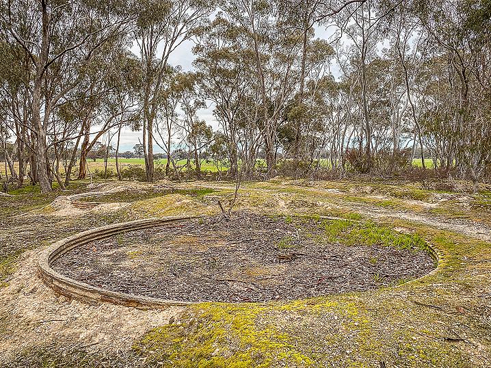
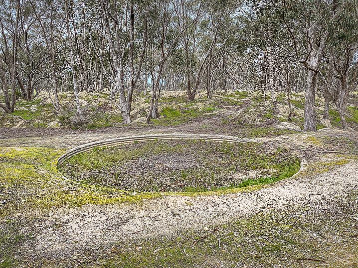
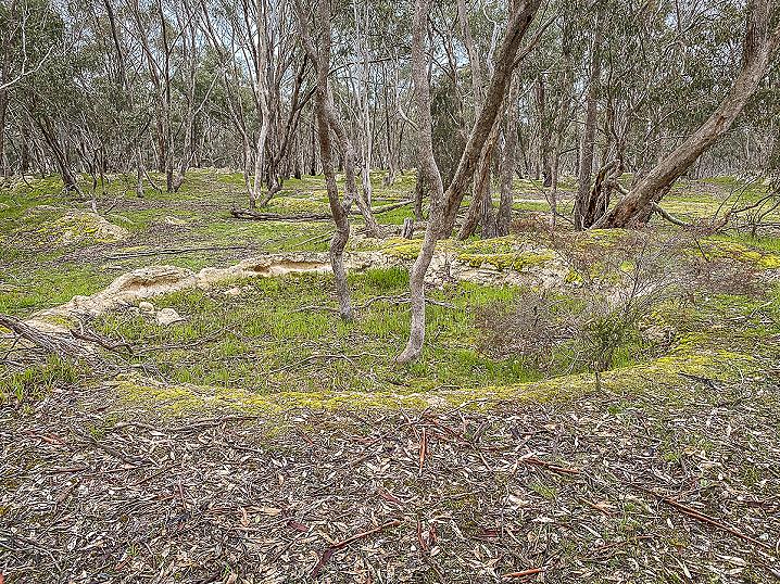
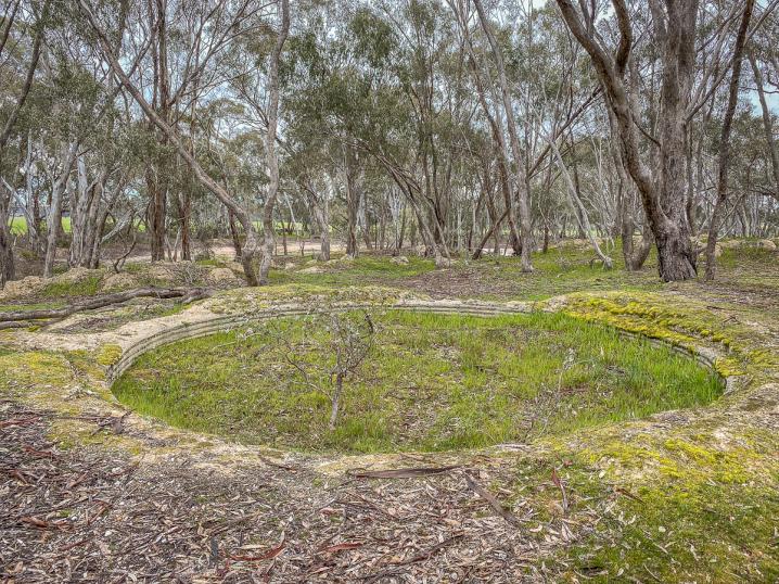
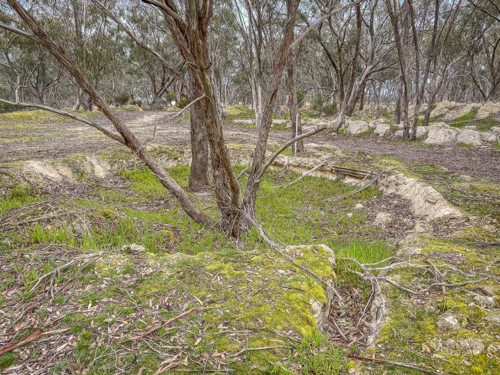
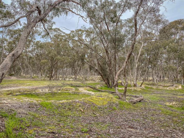
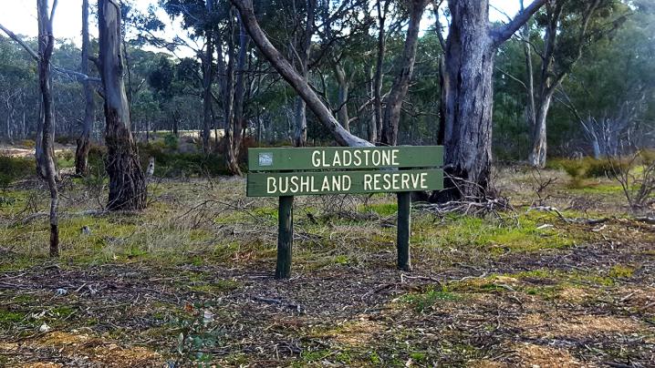
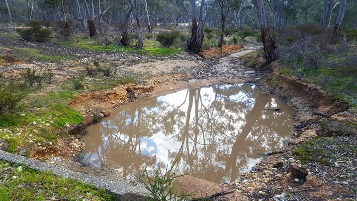
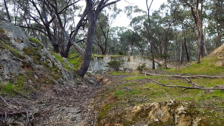
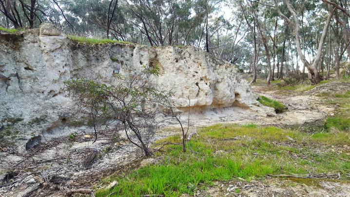
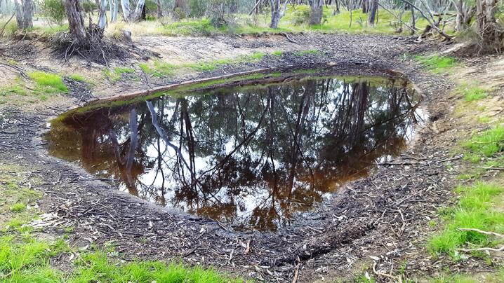
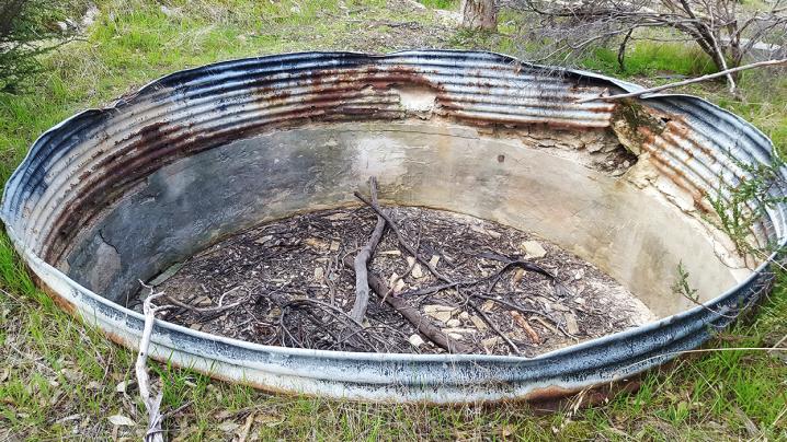
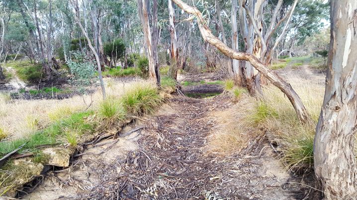
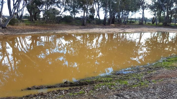
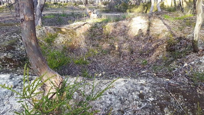
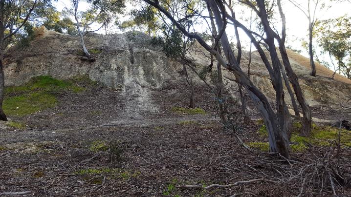
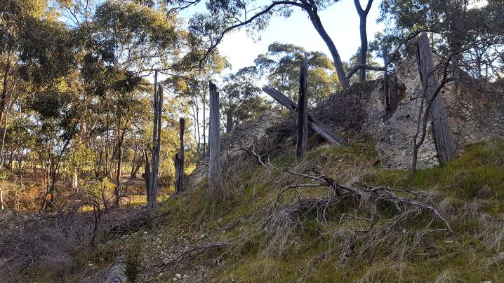
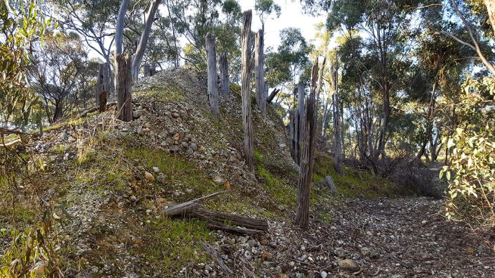
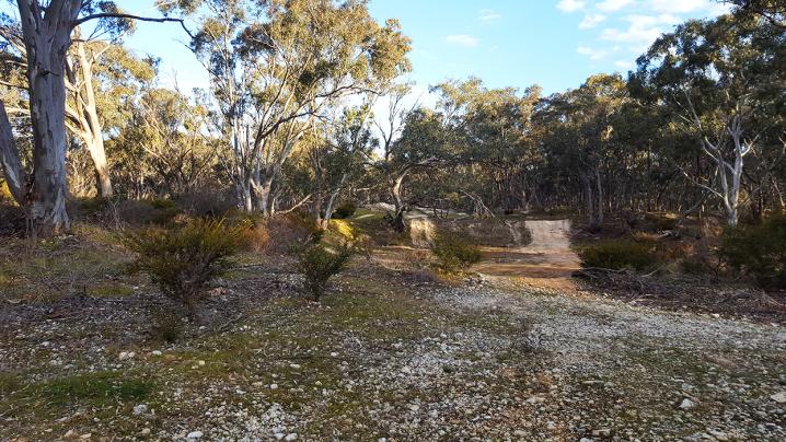
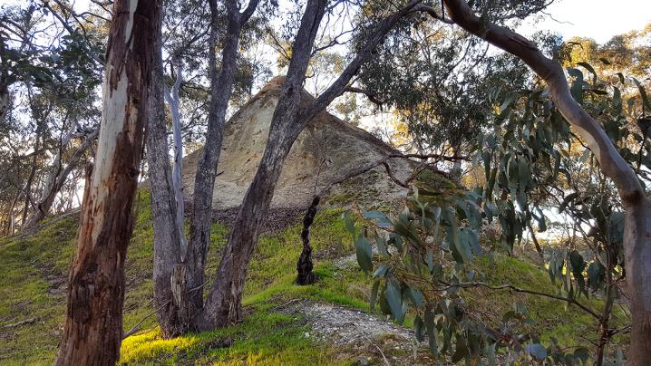
The Gladstone Bushland Reserve lies alongside Gladstone Road, Bowenvale and is home to a historic mine and cyanide plant.

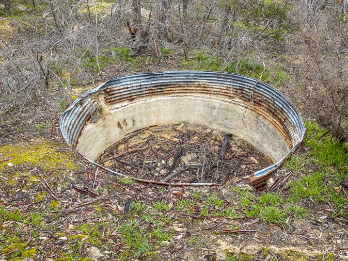
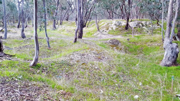
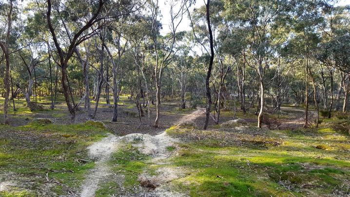
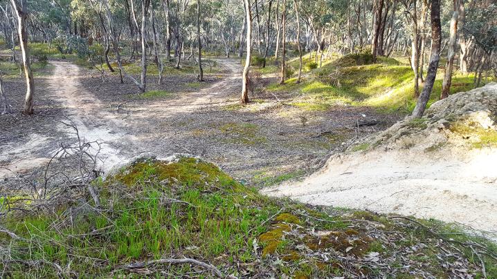
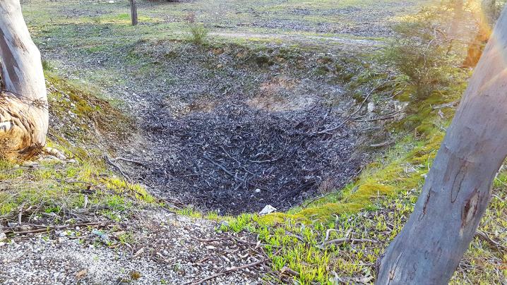
This interesting mine site includes rows of cyanide vats, multiple dams, closed remains of shafts, and mullock heaps.
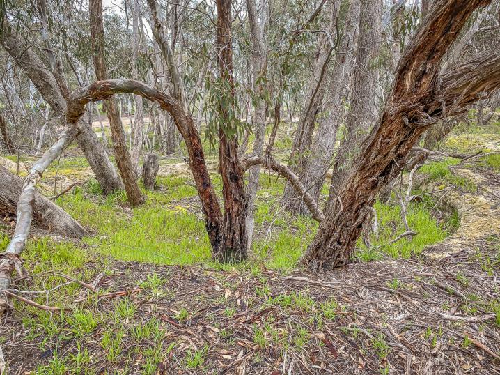
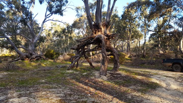
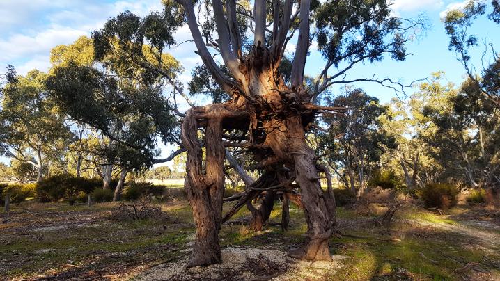
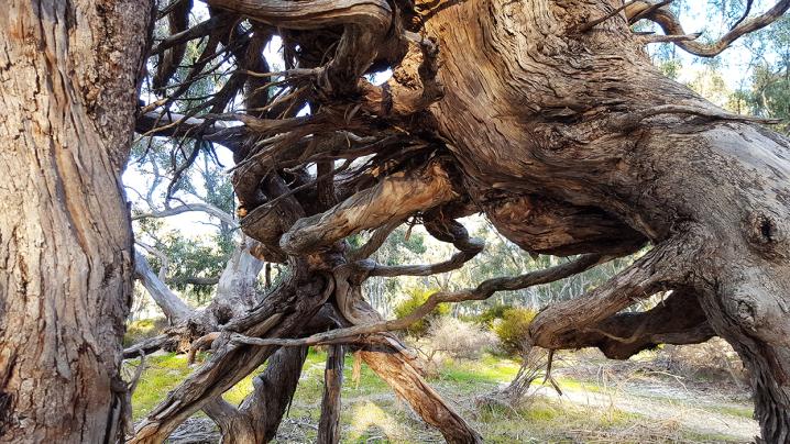
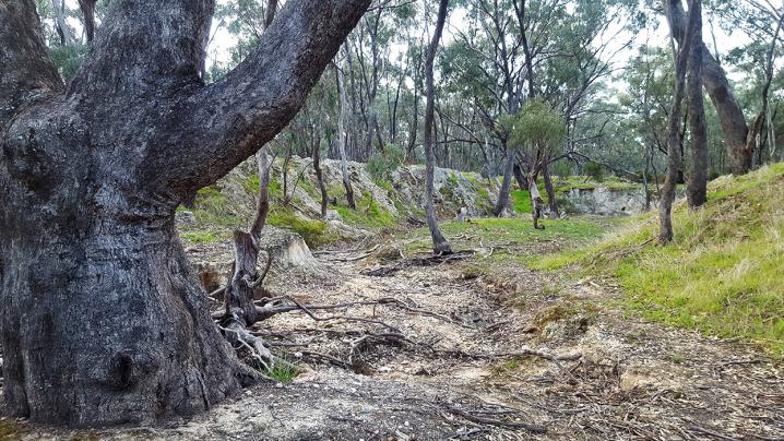
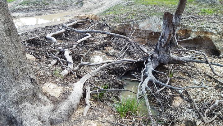
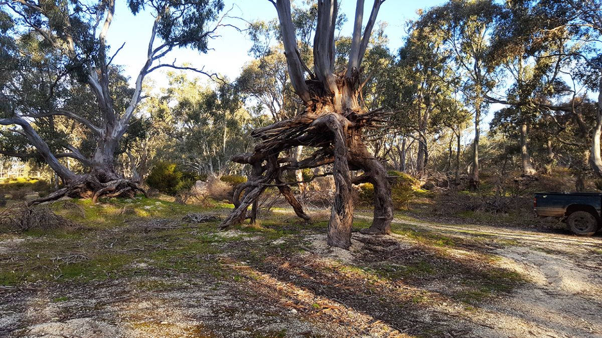
The Queen Tree


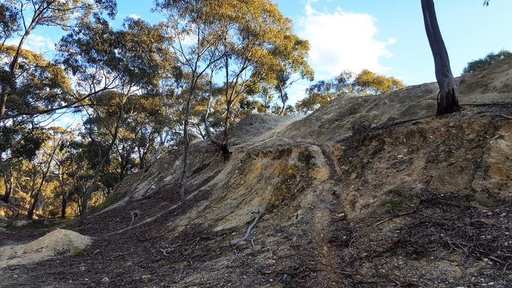
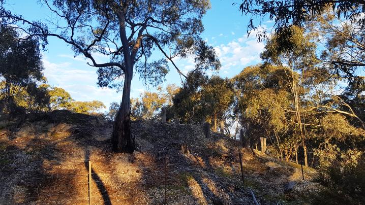
One particular point of interest at this old mine site is a large tree, known as the Queen Tree, which had previously been growing on higher ground. The ground beneath has been washed away, leaving the tree standing impressively high above the ground, supported by its strong root system.

Other places of interest nearby

Grand Duke Mine, Timor VIC

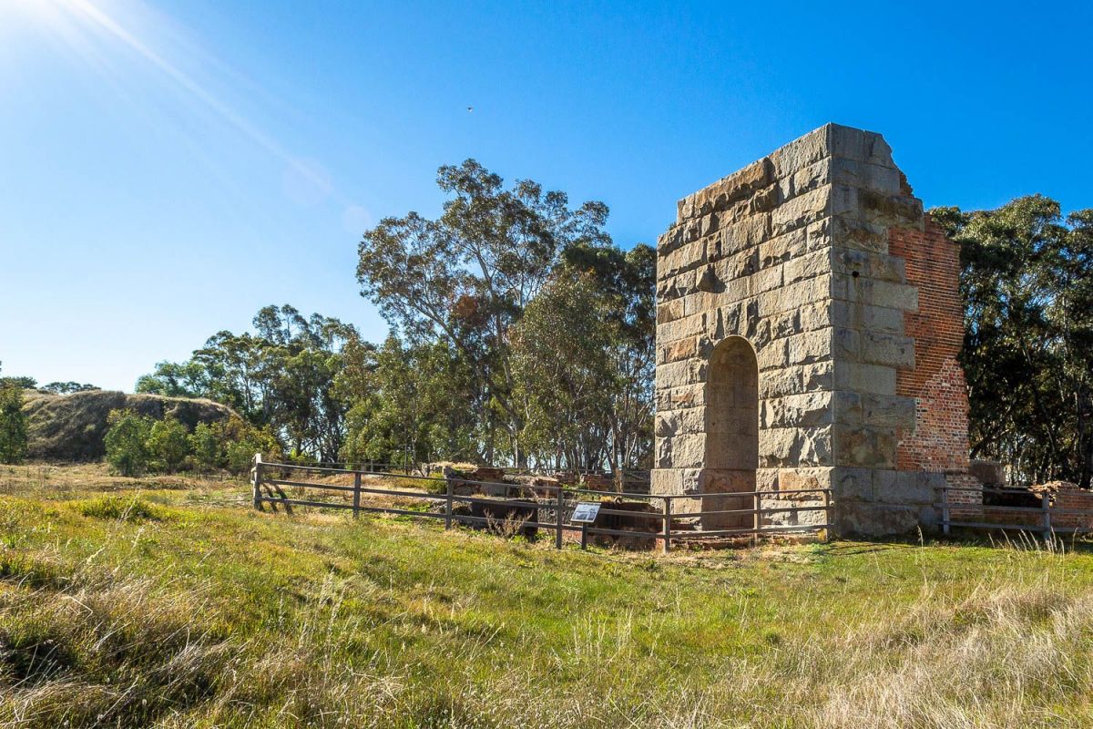
The Alma Lead Cyanide Works are just down the road from the beautiful Timor Streamside Reserve. Also be sure to check out the Grand Duke Mine, which is a must-see and is an easy eight minute drive from the Cyanide Works.

PROSPECTORS AND MINERS ASSOCIATION VICTORIA


Established in 1980, the Prospectors and Miners Association of Victoria is a voluntary body created to protect the rights and opportunities of those who wish to prospect, fossick or mine in the State of Victoria, Australia.

You can support the PMAV in their fight to uphold these rights by becoming a member. You'll also gain access to exclusive publications, field days, prospecting tips, discounts and competitions.

Check out the PMAV website for more information.


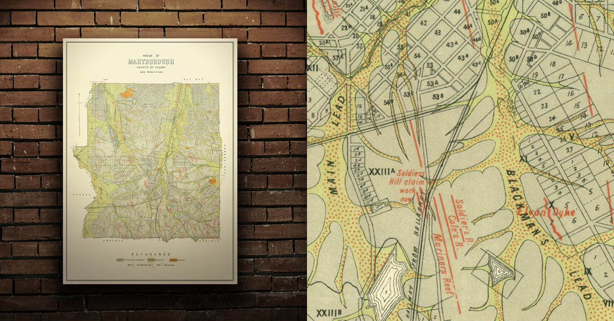
GEOLOGICAL MAP OF THE MARYBOROUGH GOLD FIELD, EARLY 20TH CENTURY


Geological map of the Maryborough gold field which shows historical features in superb detail, including reefs, leads, gullies/flats, and old workings. Originally published by the Department of Crown Lands and Survey, early 20th century. High quality, durable A1 print in a satin finish. Large, 594 x 891 mm. Go to online shop.


DID YOU KNOW...

  • Evidence of the mid-late 1800's gold rush can be found throughout the Victorian goldfields in the form of abandoned mine shafts and tunnels, mullock heaps, buildings and ruins, circular puddling troughs, remains of cyanide vats, and quartz kilns.
  • Kids love to climb! There are plenty of places throughout the Goldfields with great trees, rocks, fallen logs and more for kids to climb up, around and over.
  • Gold prospecting is the recreational act of searching for natural gold deposits in the ground using tools such as gold detectors, gold pans and gold sluices. The Goldfields region of Victoria is a popular destination for gold prospectors, with many of the world's largest alluvial gold nuggets found in the area!
 

Comments

No comments

Leave a comment

Follow us on Facebook