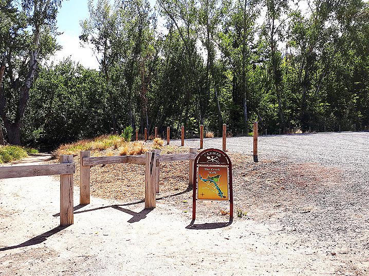
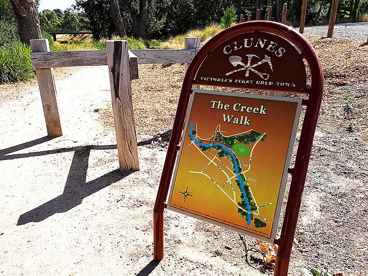
Beginning at the far end of Ligar Street Reserve, the Creek Walk features a gorgeous
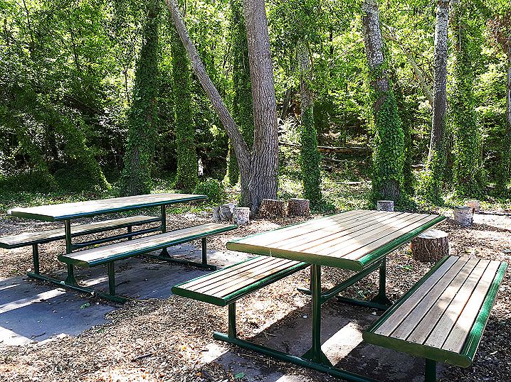
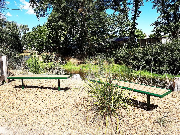
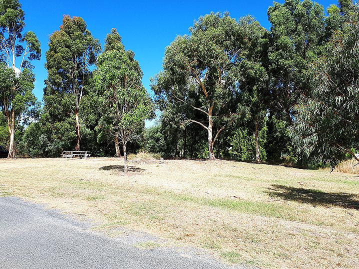
picnic area at its beginning and a
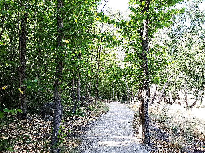
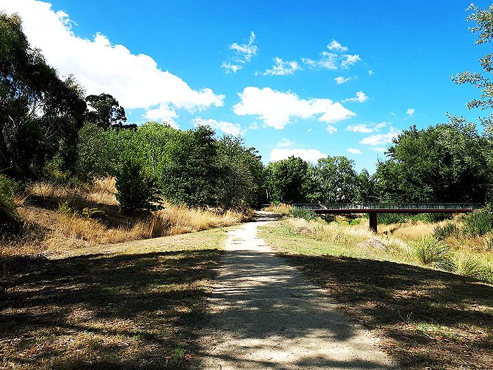
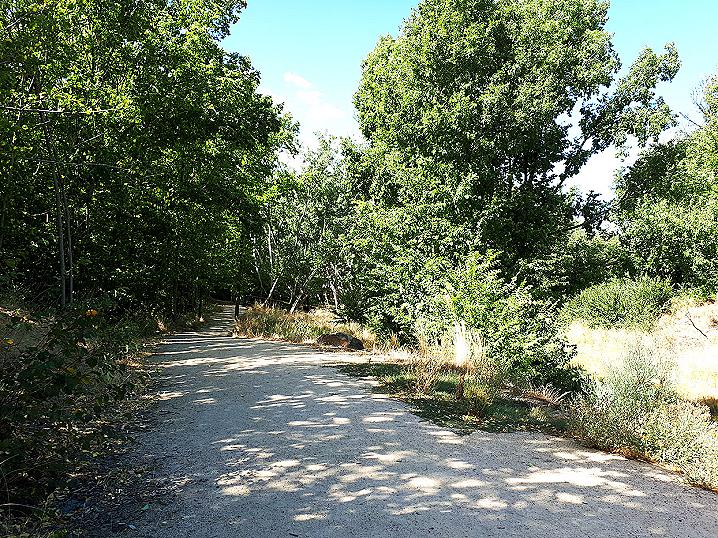
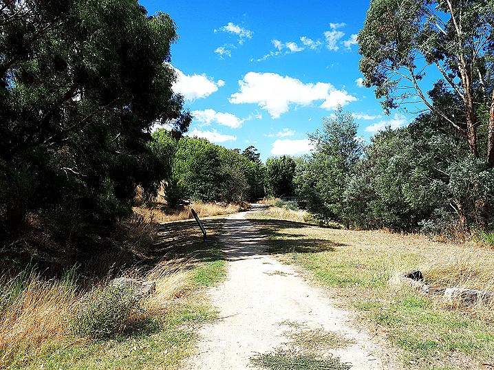
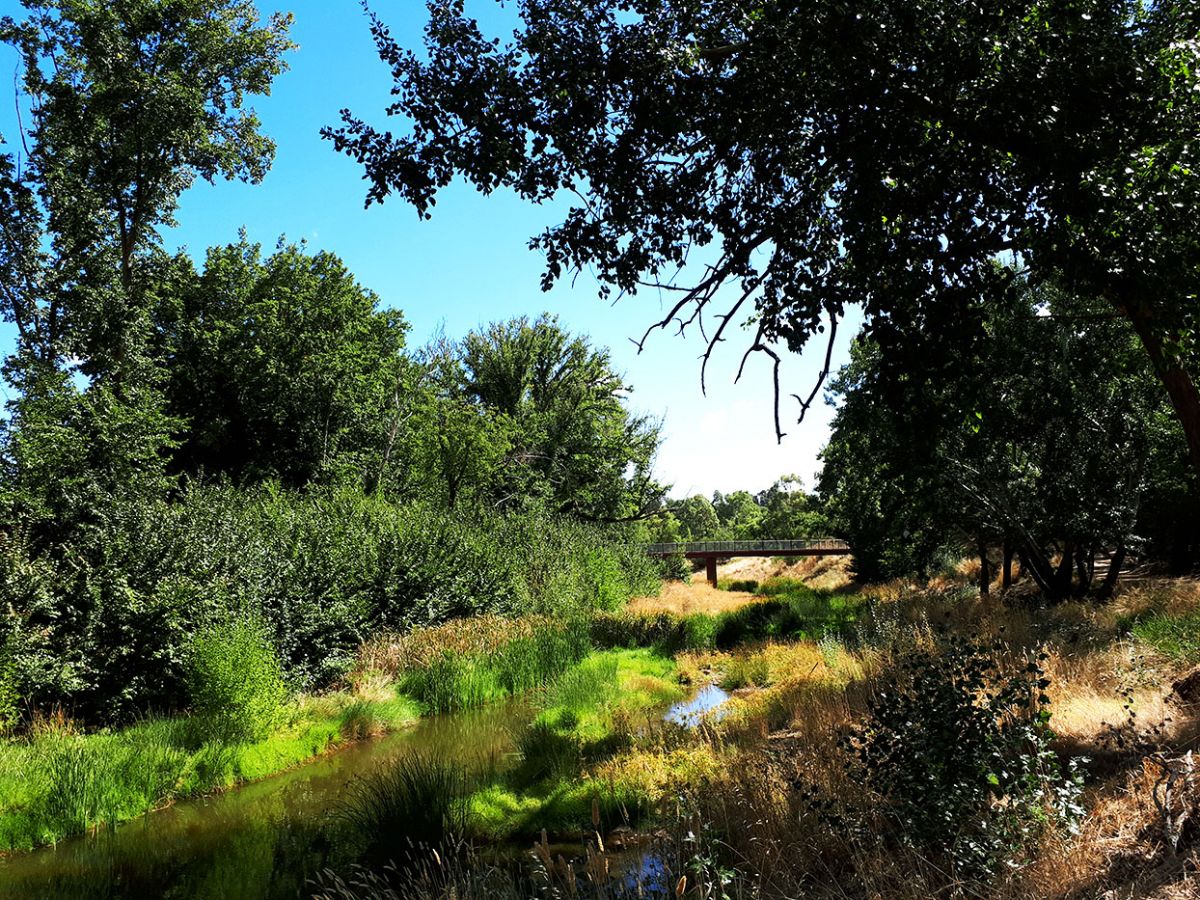
historic mine site at its end. The easy, scenic Creek Walk follows Creswick Creek through the lower part of Esmond Park.
The
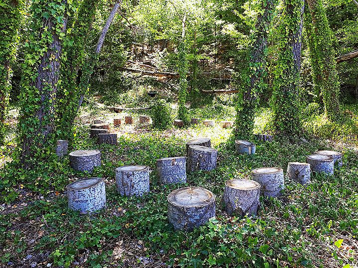
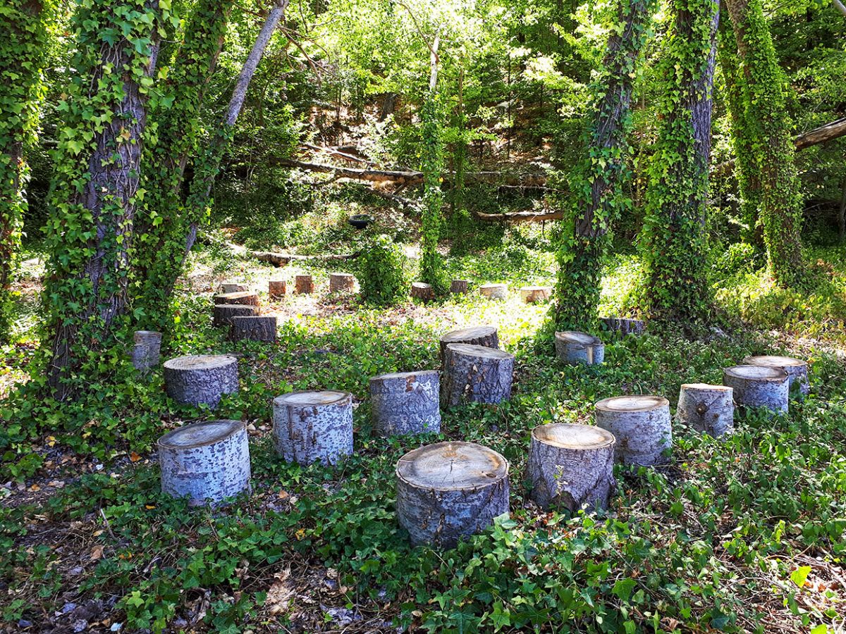
Creek Walk Picnic Area is a hidden treasure with an enchanted atmosphere, featuring two picnic tables set beneath a gorgeous cluster of vine-covered trees and surrounded by beautiful log steps.
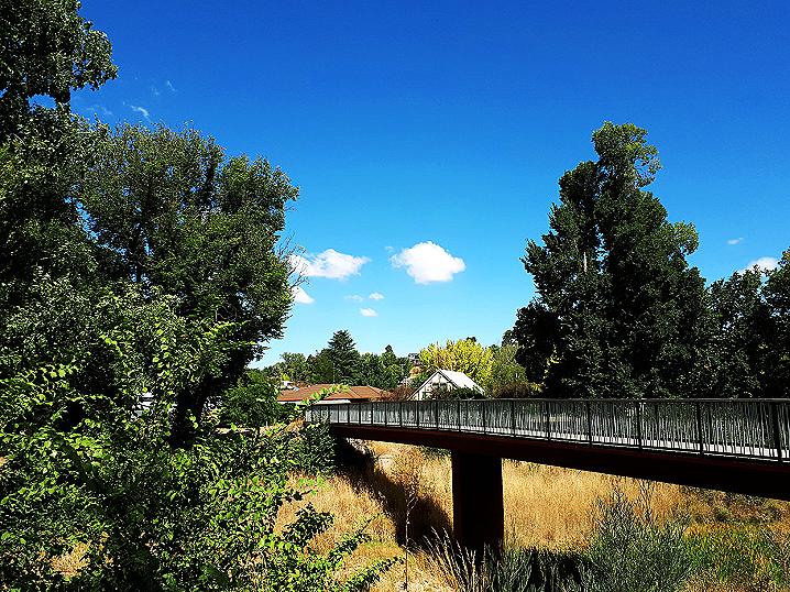
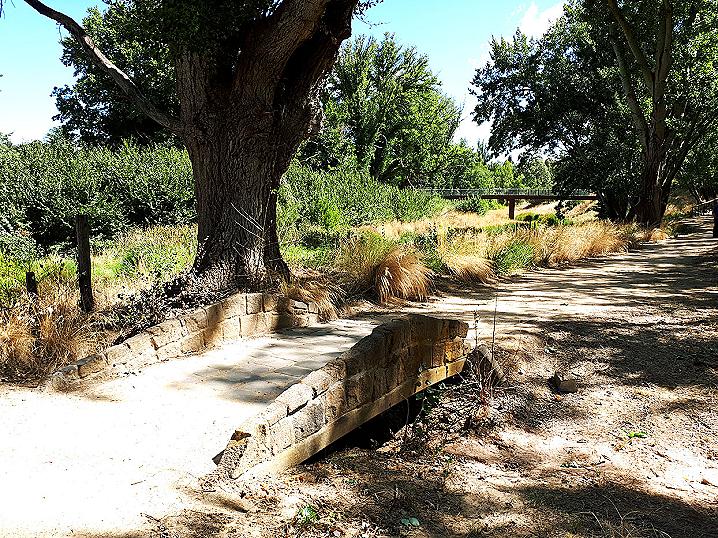
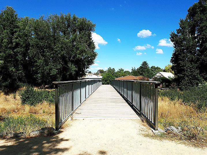
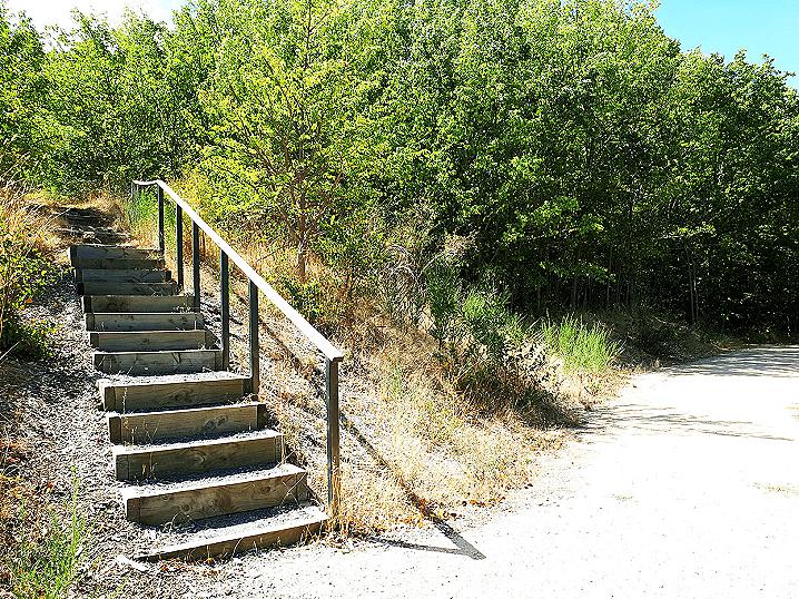
The well formed walking track takes you past Historic Steps as well as across a bridge to the
Old Foundry Site, before heading up a short incline to the historic
Port Phillip Mine on Scenic Drive.
Toilets and rubbish bins are located nearby in Ligar Street Reserve.
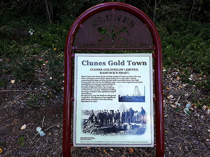
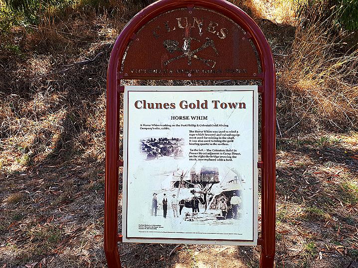
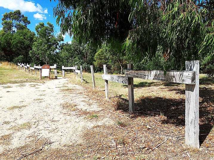
Information signs along the way display the following information:
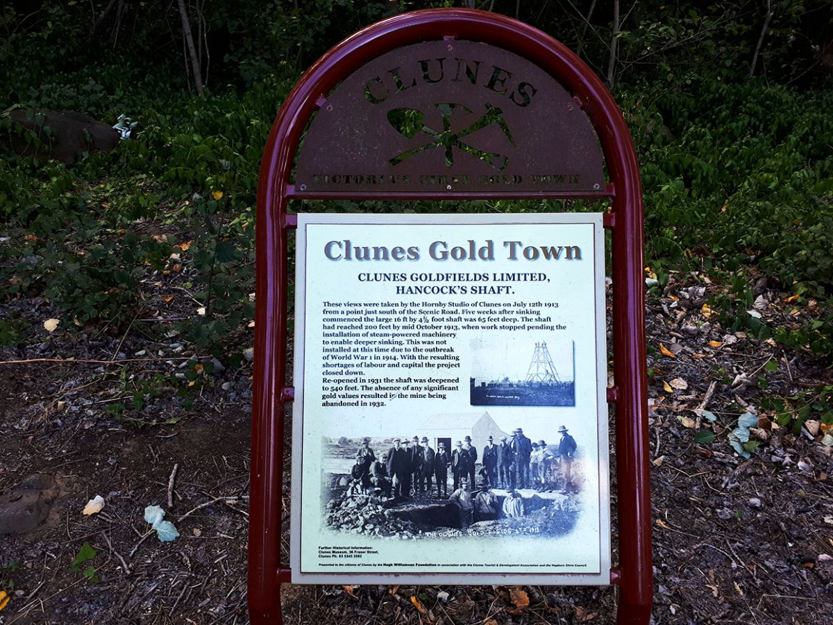
CLUNES GOLD TOWN
Clunes Goldfields Limited, Hancock's Shaft
These views were taken by the Hornby Studio of Clunes on July 12th 1913 from a point just south of the Scenic Road. Five weeks after sinking commenced the larged 16 ft by 4 1/2 foot shaft was 65 feet deep. The shaft had reached 200 feet by mid Octover 1913, when work stopped pending the installation of steam-powered machinery to enable deeper sinking. This was not installed at this time due to the outbreak of World War 1 in 1914. With the resulting shortages of labour and capital the project closed down.
Re-opened in 1931 the shaft was deepened to 540 feet. The absence of any significant gold values resulted in the mine being abandoned in 1932.
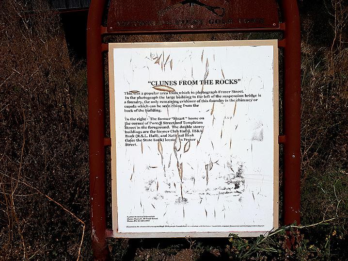
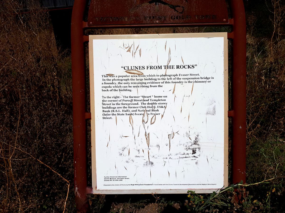
"Clunes from the rocks"
This was a popular area from which to photograph Fraser Street. In the photograph the large building to the left of the suspension bridge is a foundry, the only remaining evidence of this foundry is the chimney or cupola which can be seen rising from the back of the building.
To the right - The former "Steart" home on the corner of Purcell Street and Templeton Street in the foreground. The double storey buildings are the former Club Hotel, ES&A Bank (R.S.L. Hall), and National Bank (later the State Bank) located in Fraser Street.
(Please note that the photograph on this sign is no longer visible)
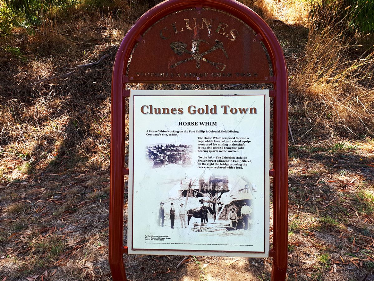
Horse Whim
The Horse Whim was used to wind a rope which lowered and raised equipment used for mining in the shaft. It was also used to bring the gold bearing quartz to the surface.
To the left - The Criterion Hotel in Fraser Street adjacent to Camp Street, on the right the bridge crossing the creek, now replaced with a ford.