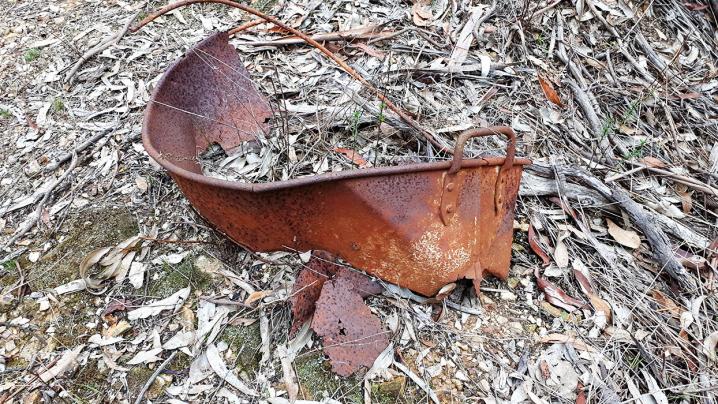
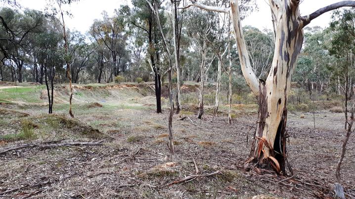
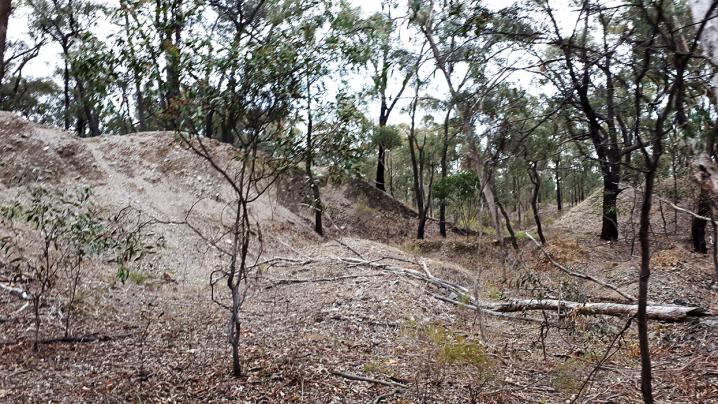
The Cambrian Mine was a large operation working the Cambrian Reef in Maryborough, Victoria. The site is located in the bushland of the
Craigie State Forest.
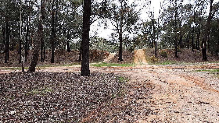
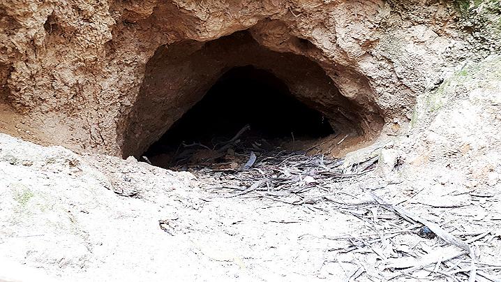
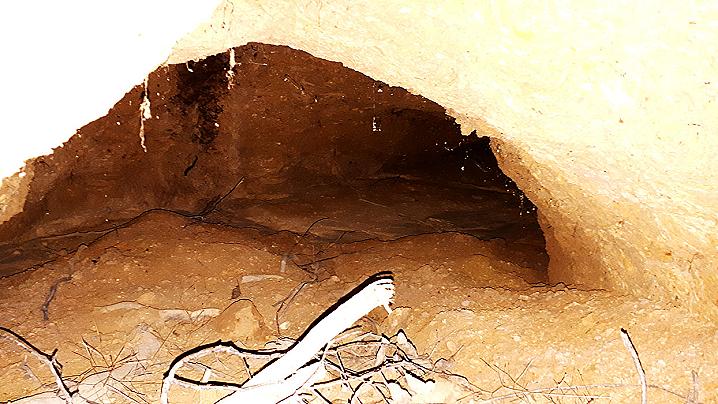
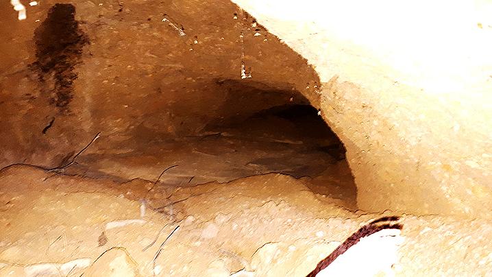
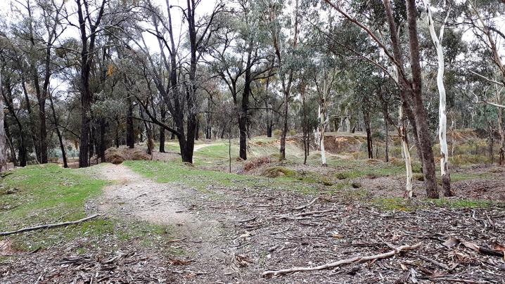
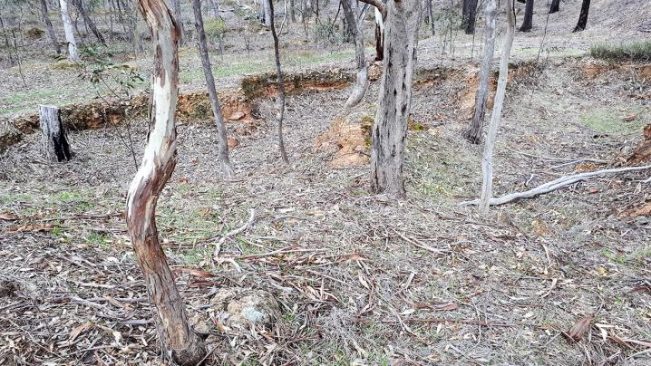
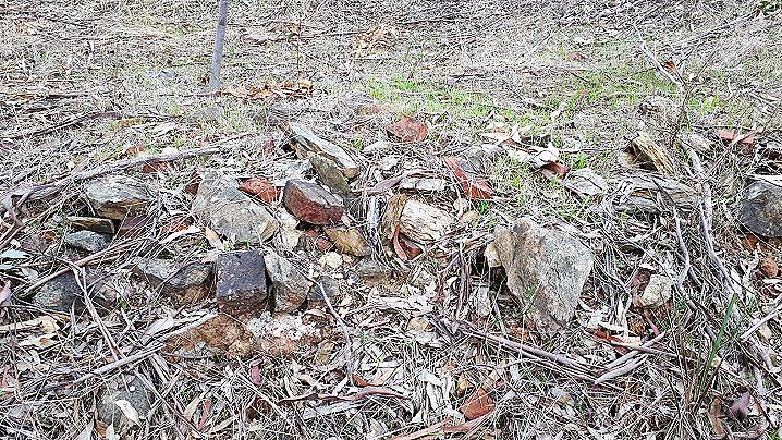
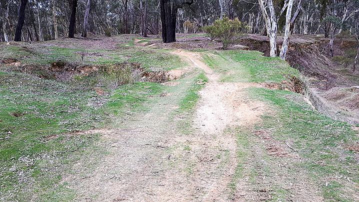
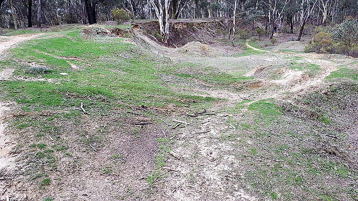
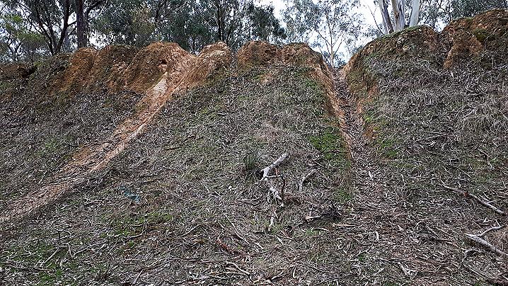
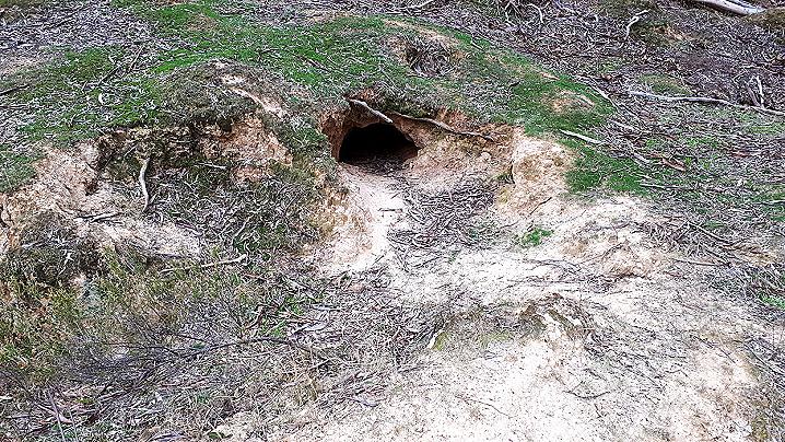
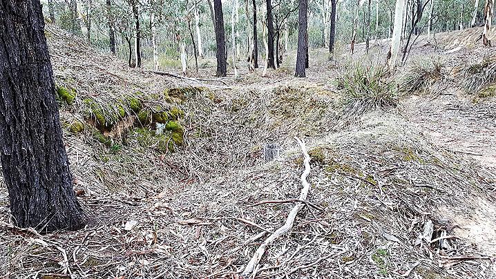
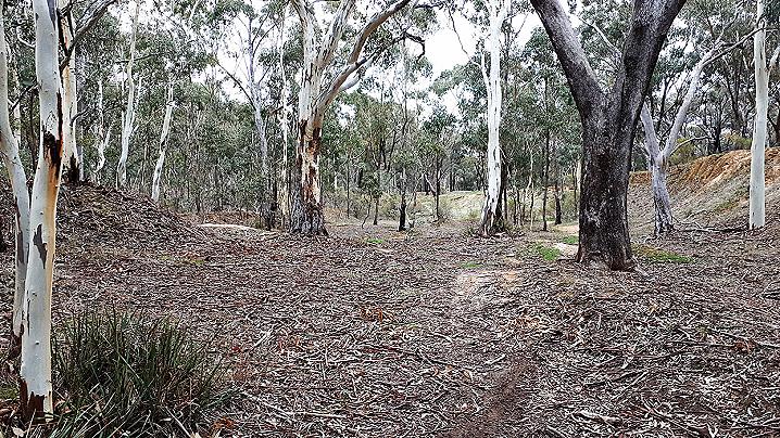
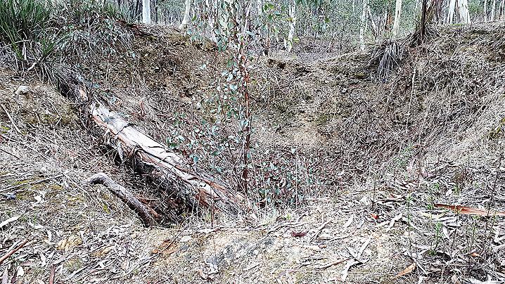
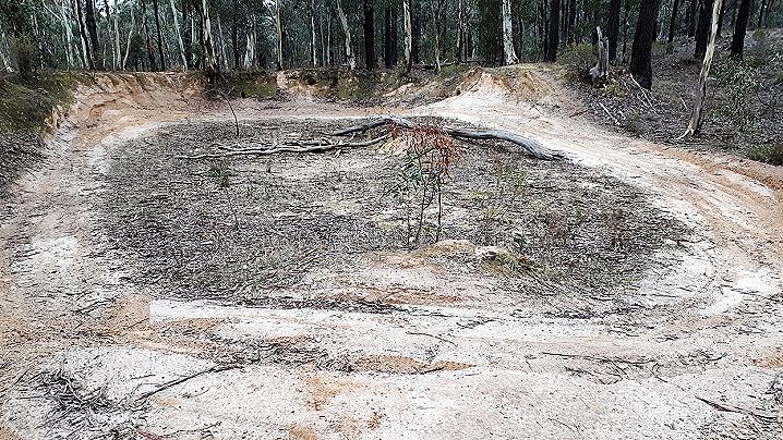
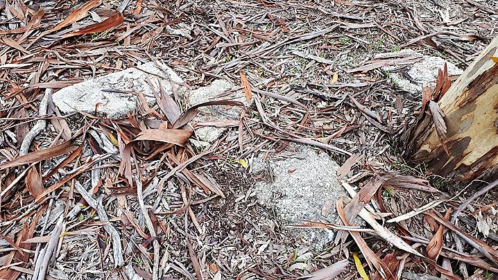
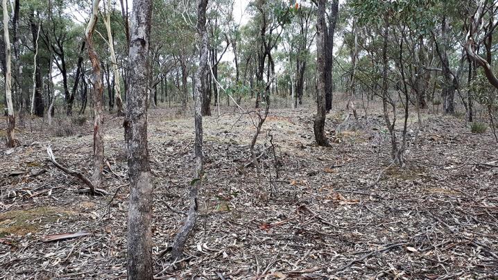
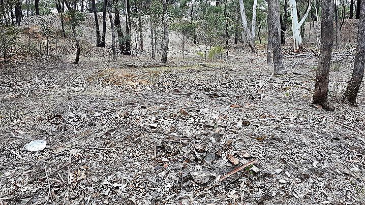
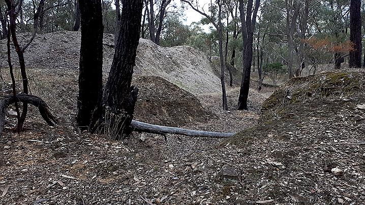
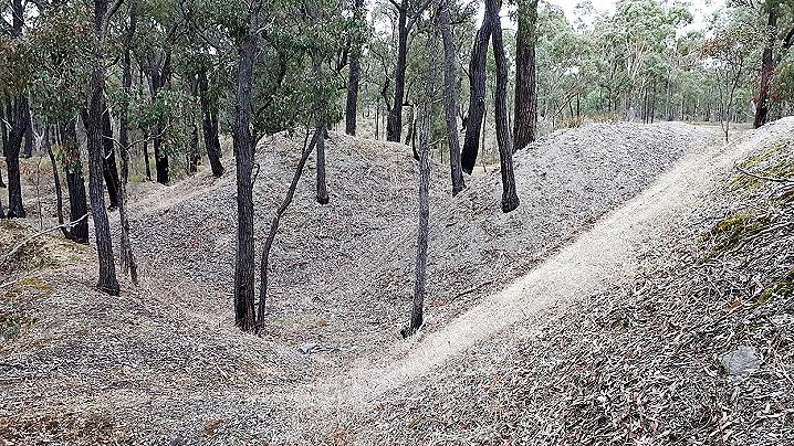
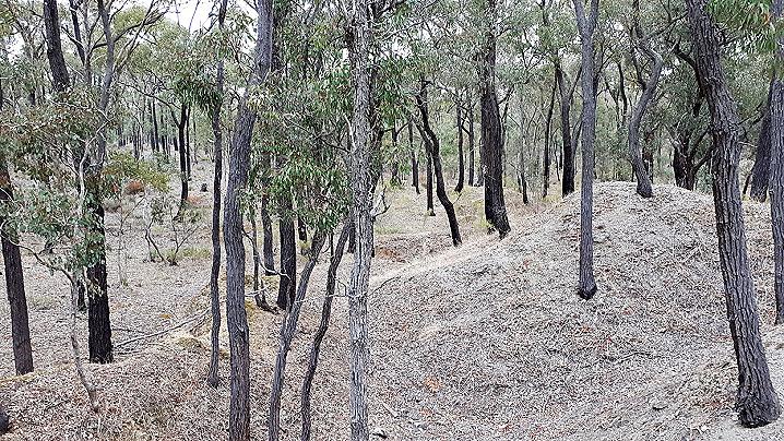
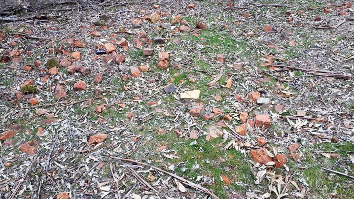
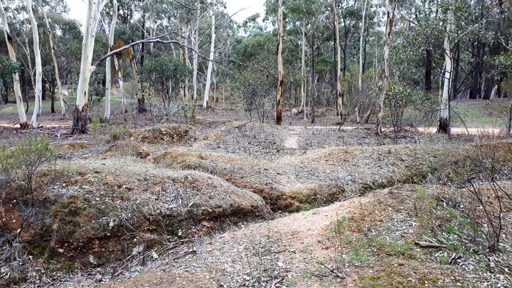
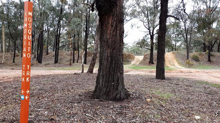
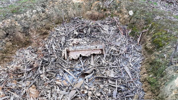
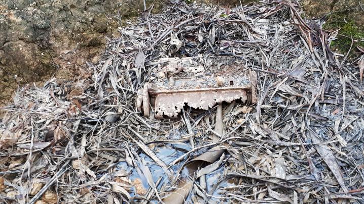
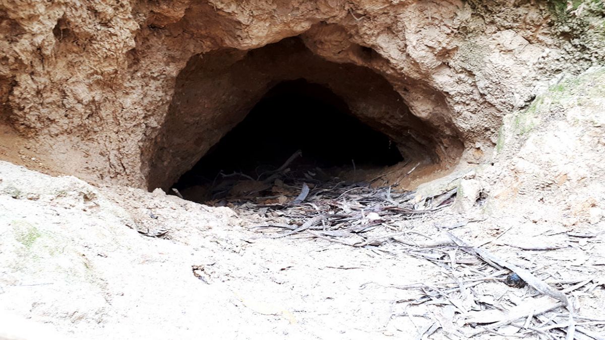
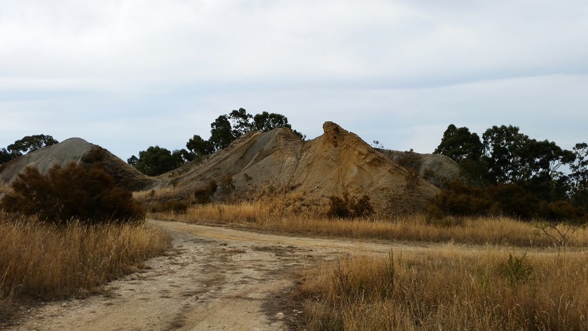
Huge mullock heaps and the remains of shafts are spread across a large area between Cambrian Track, Mosquito Track and Argyle Road. There are multiple half-filled adits alongside Cambrian Track.
This area is popular for four wheel drives and motorbikes - multiple dirt tracks travel around the site. If driving four wheel drives or motorbikes through the area, be aware of mine shafts and unstable ground.
Gold prospecting is allowed within the Craigie State Forest, but please note that the Cambrian mine site is protected by Heritage Victoria.
Similar places nearby
Similar places to the Cambrian Mine Site include:
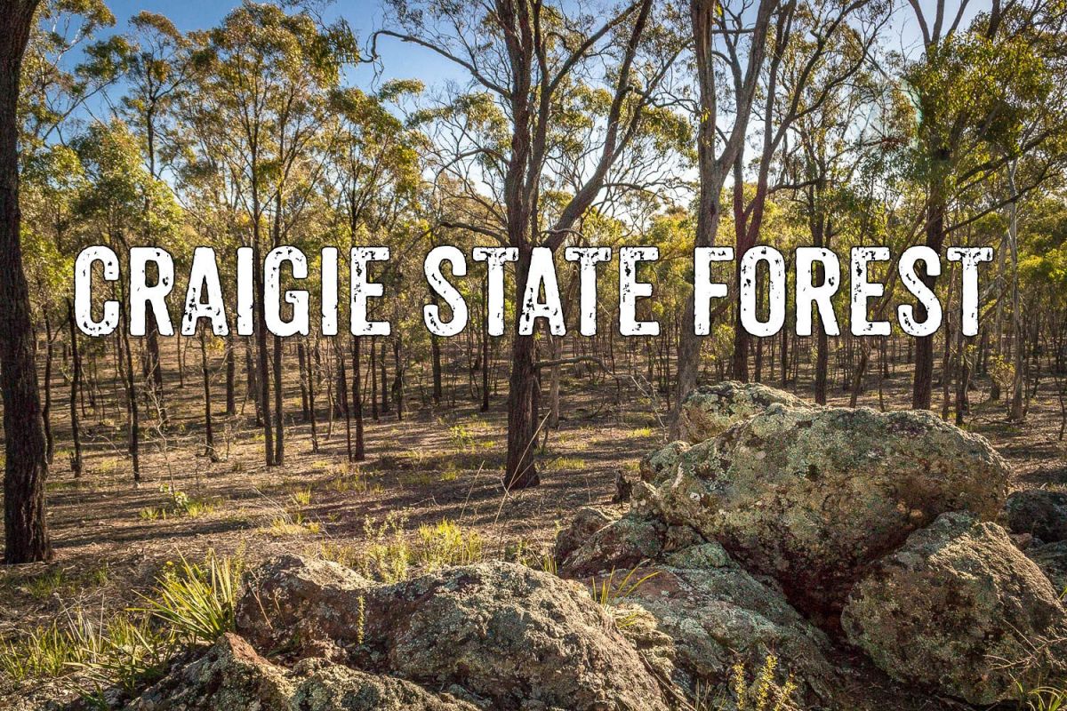
Craigie State Forest
The Craigie State Forest is a fascinating area of bushland between Maryborough, Carisbrook and Craigie, filled with hidden remnants of the area's rich gold mining and eucalyptus distillation history. There are many interesting places to explore throughout the forest, and the entire area is great for free camping, dog walking, gold prospecting, bushwalking and cycling.
Find out more about the Craigie State Forest.
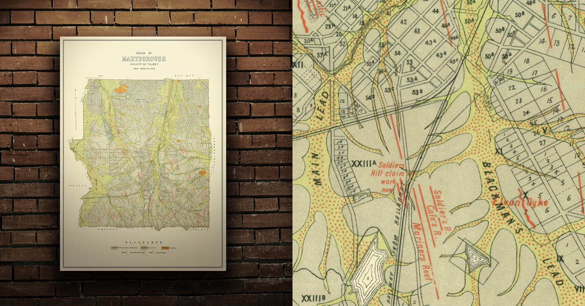
GEOLOGICAL MAP OF THE MARYBOROUGH GOLD FIELD, EARLY 20TH CENTURY
Geological map of the Maryborough gold field which shows historical features in superb detail, including reefs, leads, gullies/flats, and old workings. Originally published by the Department of Crown Lands and Survey, early 20th century. High quality, durable A1 print in a satin finish. Large, 594 x 891 mm. Go to online shop.