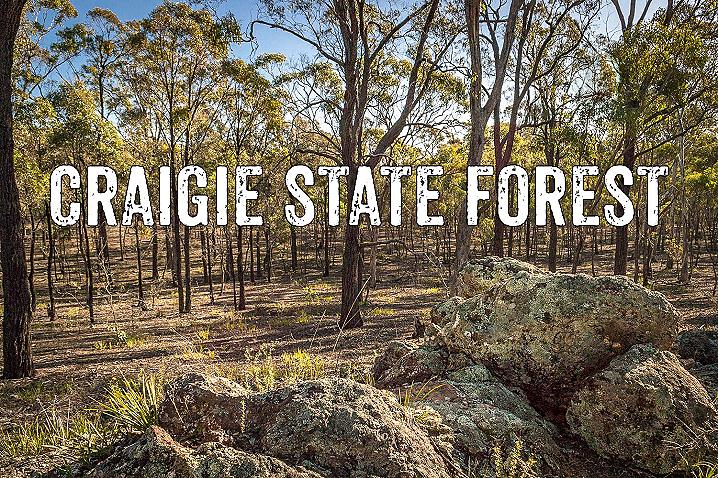
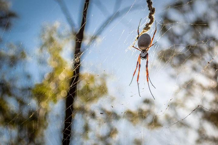
The Craigie State Forest is a fascinating area of bushland between Maryborough, Carisbrook and Craigie, filled with hidden remnants of the area's rich gold mining and eucalyptus distillation history.
There are many interesting places to explore throughout the forest, and the entire area is great for free camping, dog walking, gold prospecting, bushwalking and cycling.
How to get to the Craigie State Forest
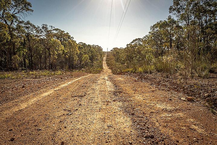
Argyle Road, Maryborough VIC
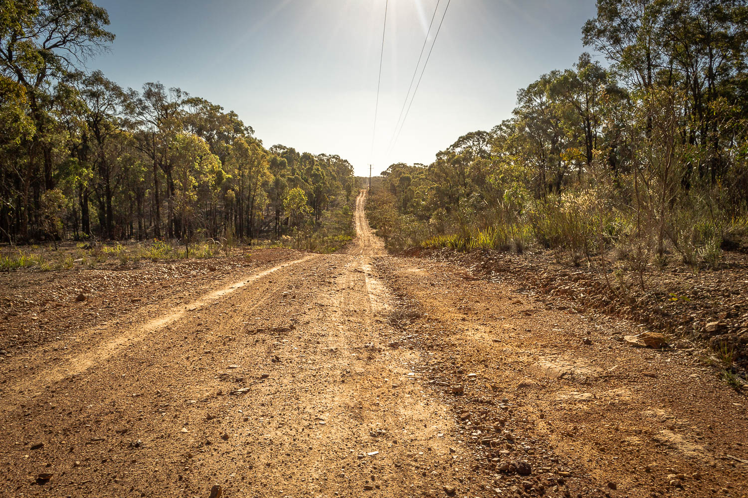
The Craigie State Forest is located on the south-eastern side of Maryborough, and is easily accessed from various tracks heading off from both Majorca Road and the Pyrenees Highway.
You can also access the forest via Argyle Road (pictured above), which heads past the Maryborough Cemetery and straight into the heart of the Craigie State Forest.
Mosquito Road, Graves Track and Wells Track are all great options for 2wd vehicles.
Many of the smaller bush tracks throughout the Craigie State Forest can have large pot holes, muddy ground and deep puddles.
4wd vehicles will be required to access many of the smaller tracks as well as the 4.5 km Water Pipeline Track.
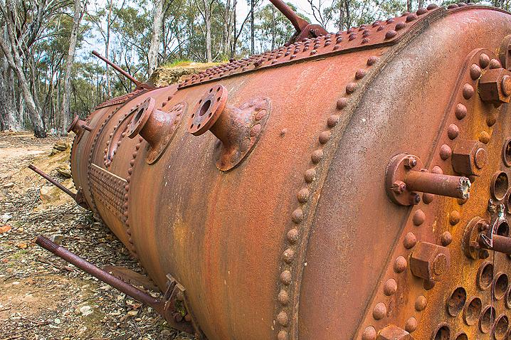
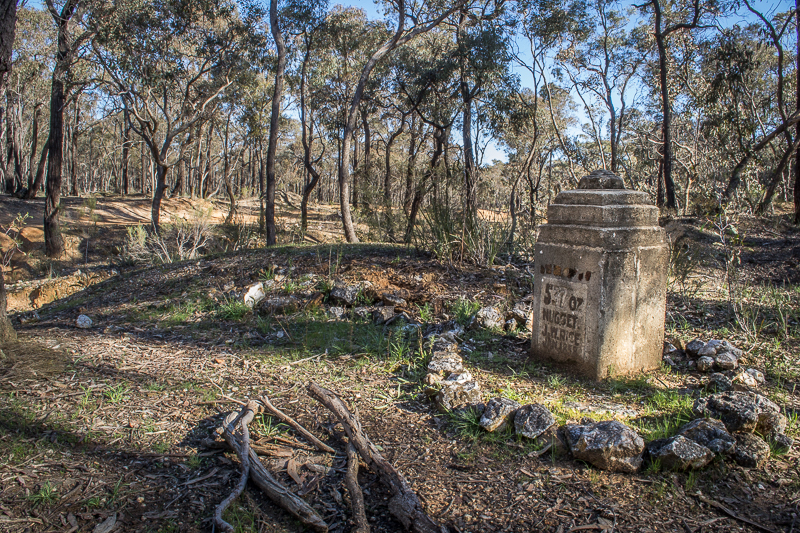
GOLD MINING HISTORY
Explore the area's rich gold mining history and discover the remains of large mining operations, gold puddlers, machinery foundations, surfaced areas and more.
The following sites are all located within the Craigie State Forest.
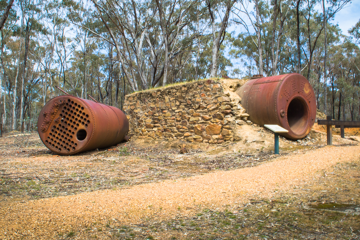
Historic eucalyptus Distillery Sites
Discover abandoned eucalyptus distillery sites within the Craigie State Forest, exploring the extensive remains at Battery Dam and the site of a former distillery at Schicer Gully Dam.
Aboriginal Rock Wells
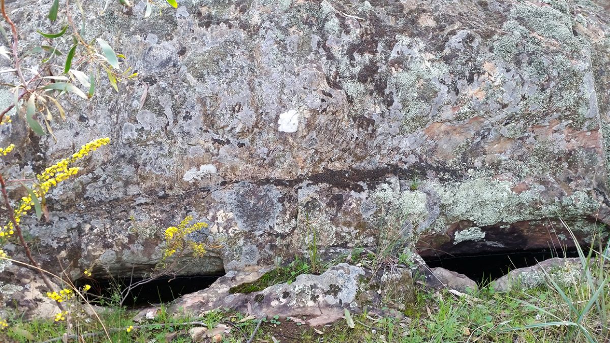
A set of four Aboriginal rock water wells can be found just off Wells track at Bull Gully, within the Craigie State Forest. These wells are generally thought to be the best example of Aboriginal rock wells in Victoria.
Four holes have been excavated into the base of a large rock in a position which makes them a natural catchment for rainwater falling on the rock above.
Three of the holes are joined together within the rock, creating one large cavity. The total holding capacity of these wells is 168 litres.
More places of interest in the Craigie State Forest
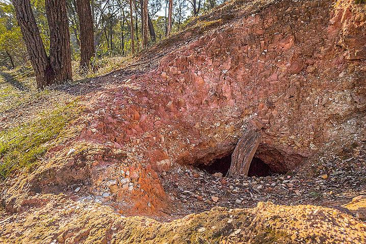
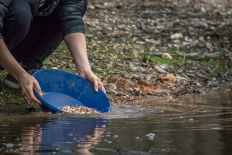
Gold prospecting in the Craigie State Forest
The Craigie State Forest is a great area for gold prospecting, with plenty of shallow ground and exposed quartz reefs throughout the forest.
You will also come across old surfacing areas around Blackman's Lead, and there are plenty of old mining dams which are great for gold panning and highbanking.
There are no creeks flowing through the Craigie State Forest, but there are some gullies which will hold a bit of water during winter.
There are open mine shafts and unstable ground throughout the Craigie State Forest. Always be wary of the
dangers of mine shafts.
Camping in the Craigie State Forest
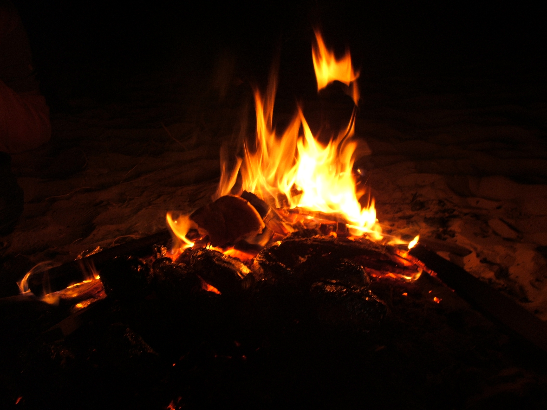
Free camping is permitted throughout the Craigie State Forest, although there are no visitor facilities - campers must be self sufficient, fires must be properly extinguished, and all rubbish must be taken home.
The
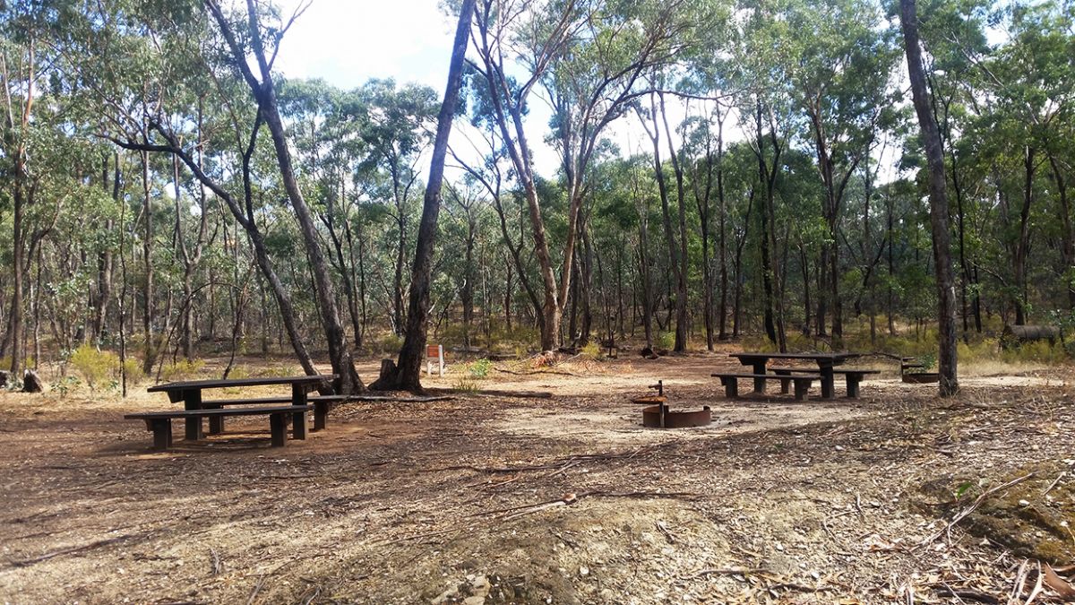
Battery Dam and Distillery features a picnic area, but is typically regarded as a day visit area - though camping is not prohibited.
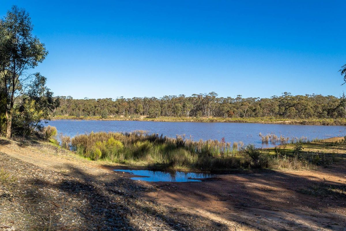
The seasonal
Carisbrook Reservoir is a great, scenic spot for self-sufficient campers to set up. There is another good, clear spot for self-sufficient campers, take a look on Google Maps
here.
Picnics in the Craigie State Forest
The only structured picnic area within the Craigie State Forest is located at the
Battery Dam and Distillery, a great place to stop in for lunch before heading out on an education walk.
This site provides picnic tables and fire pits with barbecue plates.
Online maps and visitor guides
Forest Fire Management provides the following maps and visitor guides for the Craigie State Forest.
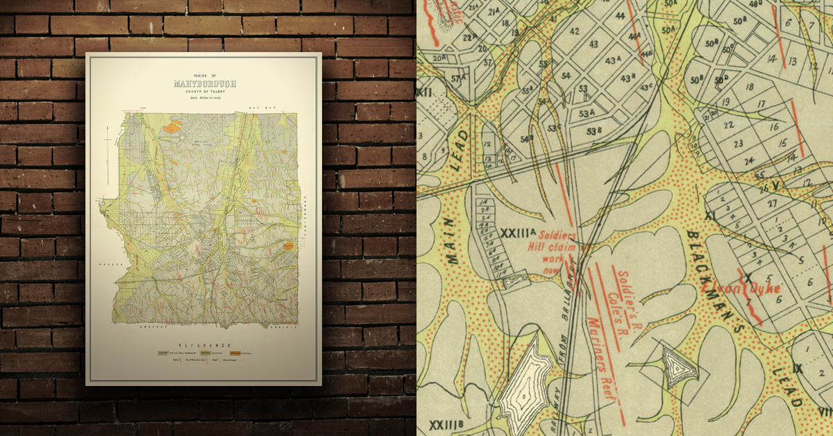
GEOLOGICAL MAP OF THE MARYBOROUGH GOLDFIELD, EARLY 20TH CENTURY
Geological map of the Maryborough gold field which shows historical features in superb detail, including reefs, leads, gullies/flats, and old workings. Originally published by the Department of Crown Lands and Survey, early 20th century. High quality, durable A1 print in a satin finish. Large, 594 x 891 mm. Go to online shop.