No 7 Park is a fantastic historical and recreational space in Bendigo, featuring a scenic reservoir and excellent picnic facilities.
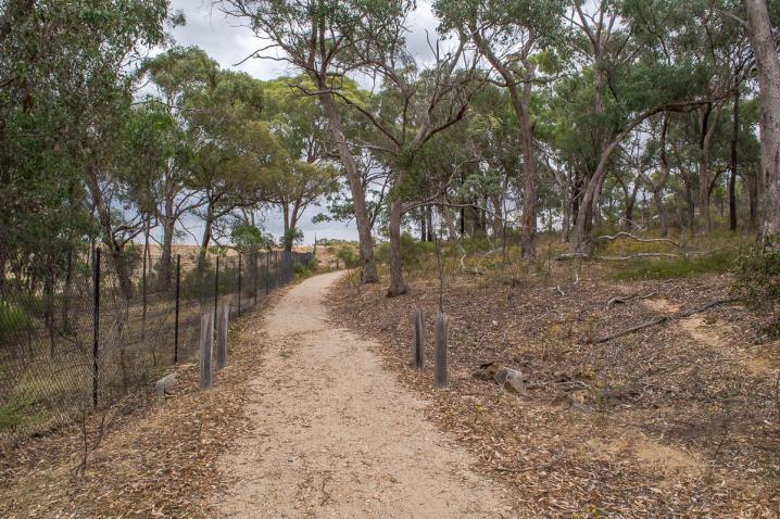
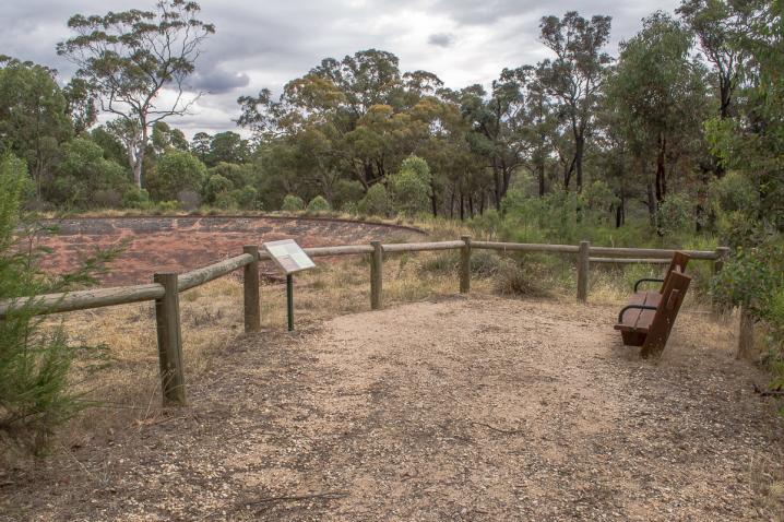
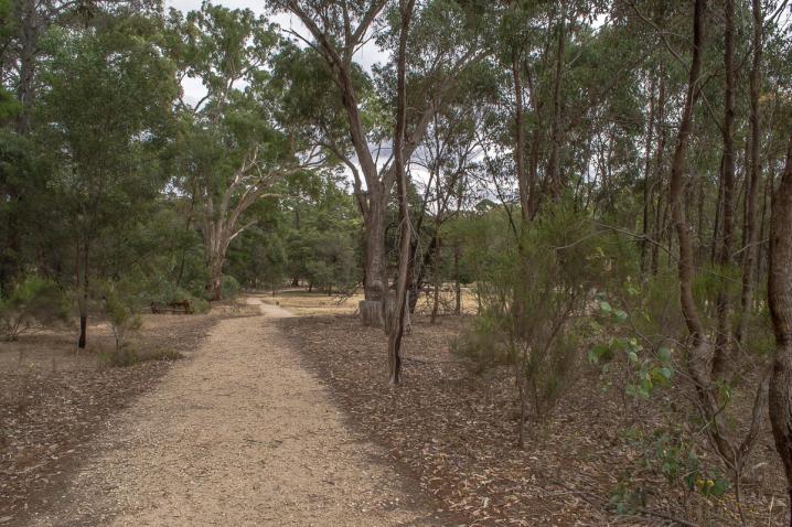
Walking tracks meander around the park taking you on a journey past various natural and historical features of the area, while a series of signposts display images and information along the way.
Picnics at No. 7 Park
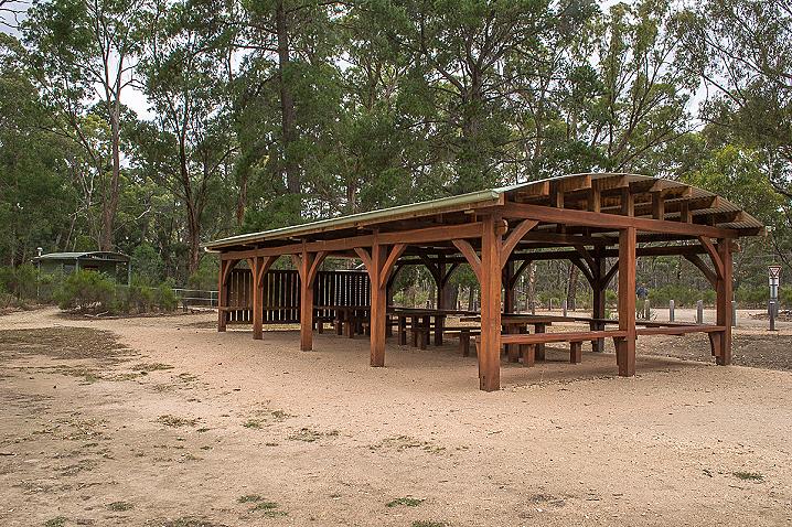
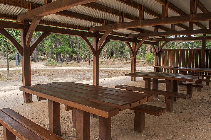
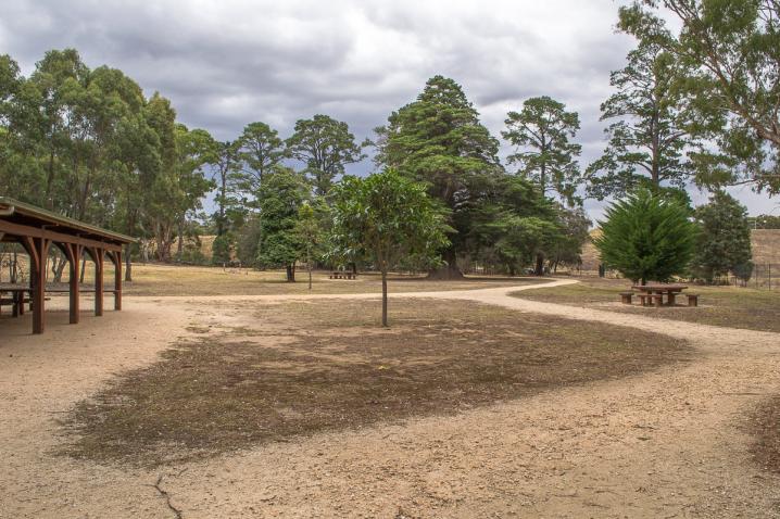
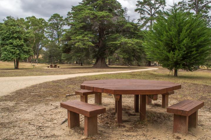
No. 7 Park is a great place for a picnic lunch, with a large wooden shelter containing three picnic tables located right alongside the gravel parking area, making it easy to carry picnic supplies and cooler boxes over.
Several more tables are scattered across the Native Grass Lawn, and a couple of large trees provide shaded areas to lay a picnic blanket.
Bushwalking at No. 7 Park
Walking tracks throughout the park take you on a journey past various natural and historical features of the area, while a series of signposts display detailed images and information along the way.
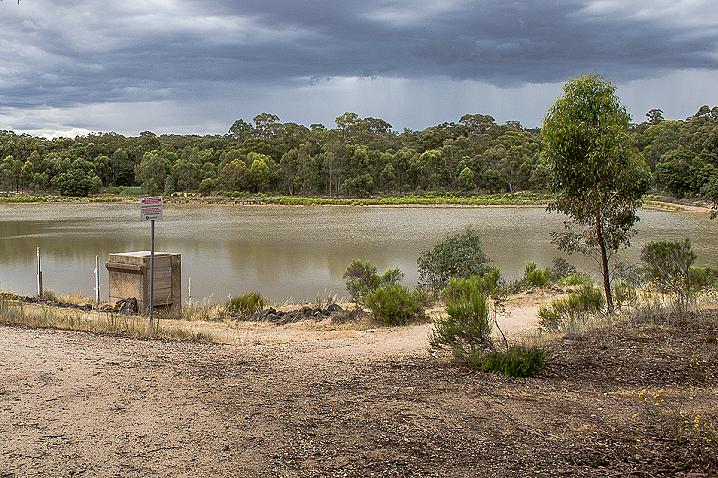
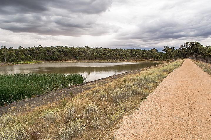
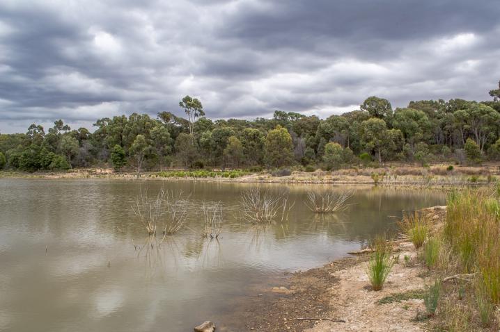
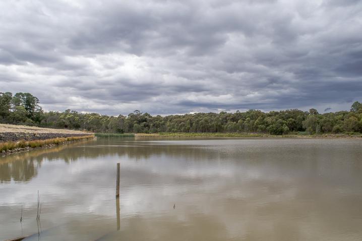
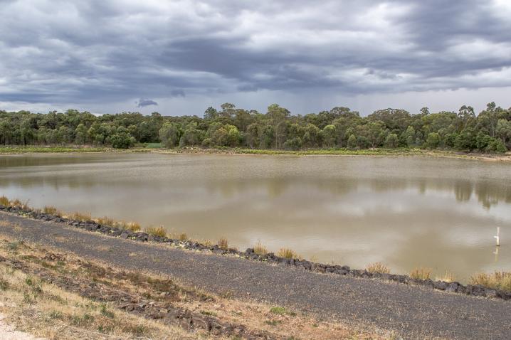
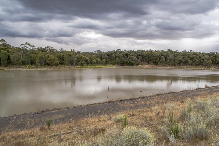
The reservoir is popular for bushwalking, with a 1.4 km circuit track travelling around the water and a 1.7 km link track which takes you over to the nearby
Crusoe Reservoir.
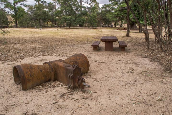
Historical and natural features at No. 7 Park
City of Greater Bendigo has provided a series of informative signs showcasing the area's fascinating features, including a native grass lawn, frog ponds, reservoir, cistern, water treatment works, channel system, basin and detonator / powder magazines.
Information signs along the walking tracks display the following text:
No. 7 Native Grass Lawn
Due to the continuing drought, the City of Greater Bendigo has embarked on a project to establish a native grass lawn area.
A first for the Council, three varieties of native grass have been sown, two cool season grass, Weeping Grass Microlaena Stipoides, and Bristly Wallaby-grass Austrodanthonia setacea and a warm season grass Red Grass Bothriochloa macra providing green grass all year round.
Native grass lawn will endure under our extreme weather conditions requiring minimal water, and can grow in low fertility soils while providing great foliage cover.
Frogs of the Park
15 of the 36 species of frogs listed in Victoria, occur within the Box-ironbark region. These frogs are separated into two families, the southern frogs (Hylidae, 11) and tree frogs (Myobatrachidae, 4).
The 10 species pictured have been recorded in this Park. Typical frog habitat includes waterholes, low-lying depressions and moist gullies. Some shelter beneath debris while others underground in burrows, awaiting rain.
Frogs range in size from the small Common Froglet 20-30mm, to the 85mm Growling Grass Frog.
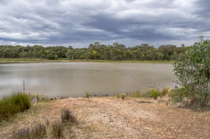
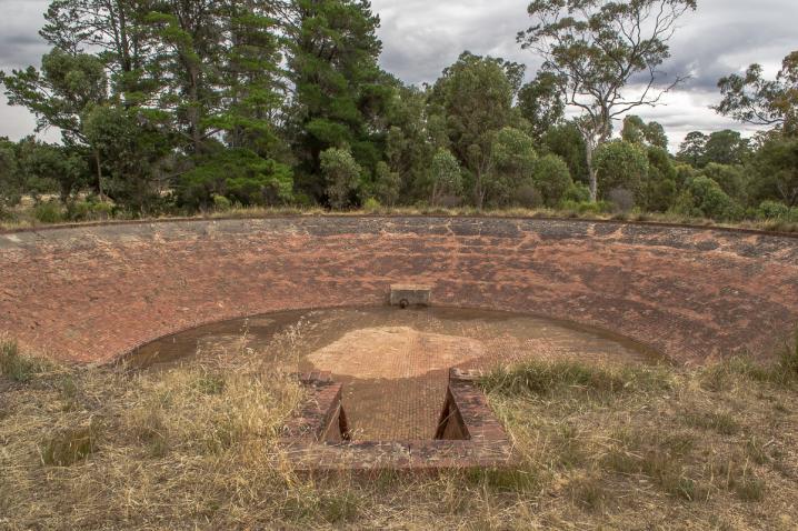
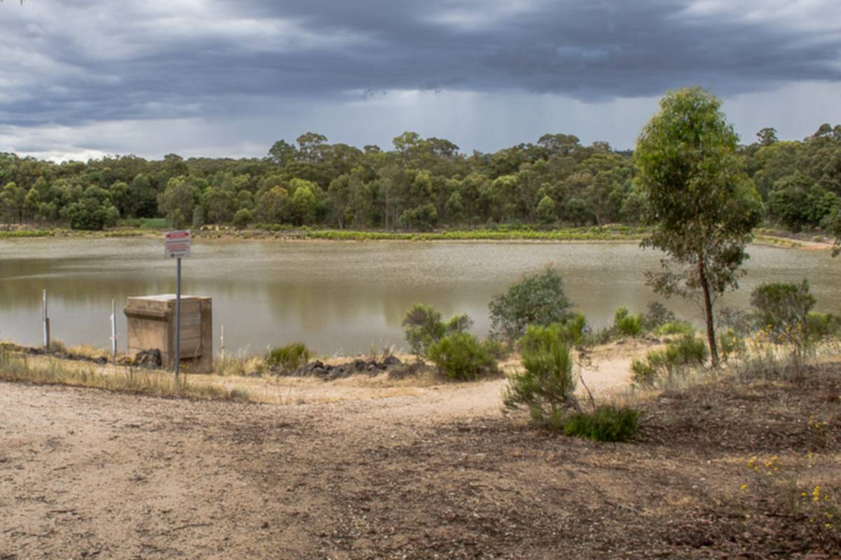
No. 7 Reservoir
With the discovery of gold and the establishment of Bendigo as a city in 1851, there was high demand placed on water for consumption and mining practices. As Bendigo is not situated on a river and what little water in Bendigo Creek becoming polluted due to mining practices, drinking water was scarce.
This led to the formation of the Bendigo Waterworks Company who in 1858 commissioned Joseph Brady, an Irish engineer, t design and supervise construction of the No. 7 Reservoir.
No. 7 Reservoir was one of 8 reservoirs (6 for mining and 2 for domestic). Construction of the reservoir was completed in 1861 with a capacity to hold 270 million litres of domestic water to supply 15,000 Bendigo residents. At this time, Bendigo's water consumption was at 160,000 litres per day.
The No. 1 Reservoir was built in 1859 across the Bendigo Creek at the corner of High and Maple Streets. However it leaked and was soon decommissioned.
Joseph Brady then went on to build No. 7 and abandoned plants to build the remaining 6 reservoirs.
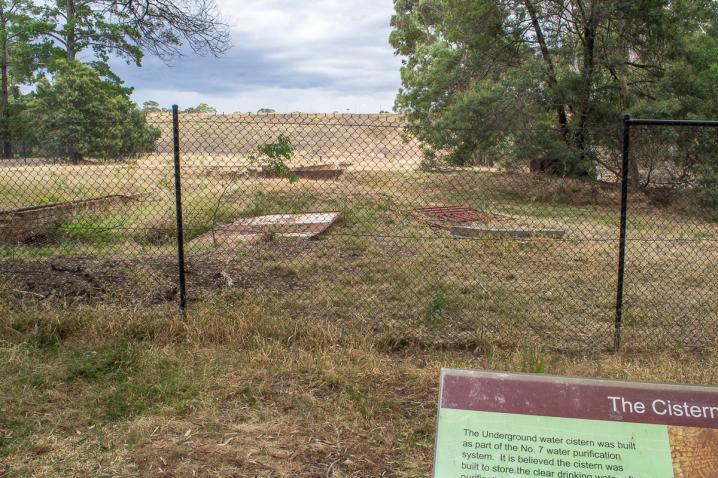
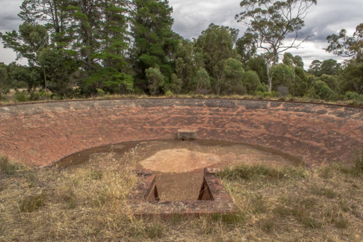
The Cistern
The Underground water cistern was built as part of the No 7 water purification system. It is believed the cistern was built to store the clear drinking water after purification. It was then released through wooden pipes to Bendigo. As the site was 44 metres above Pall Mall the water was gravity fed.
The Cistern measures 15 metres long by 17.5 metres wide by 5 metres high. Built in brick it is divided into 15 section (5x3), each with a vaulted roof supported byy brick pillars. The cistern can store up to 340,000 litres water.
Along with the filter beds the cistern ceased operation between 1887 & 1907. The Cistern was rediscoverd in 1964 when a backhoe broke through the roof.
Bendigo Creek - the way it was
This map (included on the sign), sketched by an early miner, represents his account of the Bendigo Creek when gold was first discovered in 1851. The No. 7 Park Frog Ponds have been created based on this map and subsequent historic records describing the abundance of flora, fauna and the character of the Bendigo Creek, attempting to replicate "the way it was".
"The flats carpeted with green grass, were dotted here and there with comely and shady gum-trees, while the creek banks, shaded with wattle, sloped down to a chain of water holes, which, in the spring and winter seasons, and indeed all the year round, before the gold era, contained a good supply of sweet clear water. Down about the now desolate-looking Epsom, the valley wore a really picturesque appearance ;the gum trees were very fine, and the wattle flourished luxuriantly". Described by Mr. Robert Ross Haverfield a former editor of the Bendigo Advertiser 1870. G.Mackay (1912).
"On the Sunday morning, a lovely day, we took a stroll to the junction of what have since been known as Back Creek and Bendigo Creek, and thought it the loveliest spot on earth, with waterholes with water in them as clear as crystal, kingfisher birds flitting about in the silver wattle, whose foliage almost hid the banks of the creek from view, with occasional splashings as the duck-billed platypus tumbled from the banks into the water. But there was not a human being to be seen anywhere". 'Mr. Tomas Dungey', G. Mackay (1912)
"It was 1851 and spring had already come to the valley. The waters of old Bendigo Creek, muddied with yellow clay from the winter rains, were clear again. Wattles glowed along its banks and the bush around was splashed with flowers - purple sarsaparilla cascaded over the rocks; there were starry bushes of waxplant, and furry, red spider-flowers glowed among the tussocks. The air was honey-sweet and vibrant with bird calls - the plaintive piping of the cuckoo, thrushes calling and leatherheads beating out their ripple of song and along the creek, parrots, scarlet, blue and emerald, dipped and flickered amongst the gums". F. Cusack (1973)
The Detonator and Powder Magazines
Black Powder was used in the construction of the reservoirs, it is an extremely volatile and unstable substance that required the greatest care when handling and storing.
The detonator and powder magazine were used for the safe storage of explosives used in the construction phase of the No. 7 Reservoir and water system.
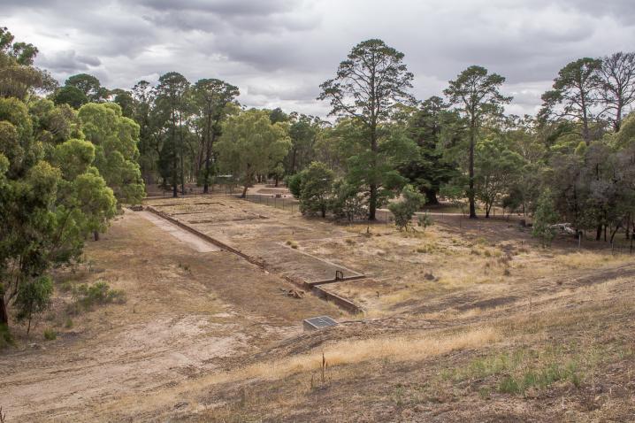
No. 7 Treatment Works
Along with the No. 7 storage reservoir, Joseph Brady also designed and constructed a water purification system consisting of lime settling ponds, filter beds and an underground brick cistern.
The filter beds ceased operation between 1887 and 1907 and were later filled around 1939. The treatment facilities are now listed on the Victorian Heritage Register.
The purification process started by adding lime to the water to remove suspended clay particles. Water then flowed to the filter beds where it leached through beds of sand, gravel and 12" perforated tiles to then carry to the underground cistern where it was gravity fed to Bendigo.
The resulting water would appear clean, however this treatment could not kill off any harmful microorganisms.
The Channel System
In 1862 to cope with growing population and mining demands The Victorian Government offered a £500 prize for the best solution to bring a more permanent water supply from the Coliban River to Bendigo.
Joseph Brady won this prize and designed a gravity fed channel stretching approx. 70km from Malmsbury through Elphinstone along the eastern slopes of Mt. Alexander to Bendigo.
The first flows along this channel occurred in 1977 when the Malmsbury Reservoir was completed.
At this junction a 28km pipeline from Eppalock feeds into the Coliban System. This water is pumped by hydraulic turbines and can provide up to 15,000 ML p.a.
The channel is still used today providing irrigation water to farmers north of Bendigo, however flows into No. 7 and Crusoe have now ceased. The Rural Supply System now comprised over 500km of open channel varying from concrete lined box section, to earthen channel to pipeline.
The Basin
What was it used for?
The function of this round brick-lined basin remains a mystery. It was fed via an underground pipe from the adjacent channel and held 554,000 litres of water.
The Basin has been dated to have been built in 1876, around the same time as the Coliban Channel. One theory is that it was built as a third settling pond, or as a header tank to flush out the lime settling ponds.
Another theory is that it was used as a header tank to provide large volumes of water quickly for fire fighting purposes.
Park information
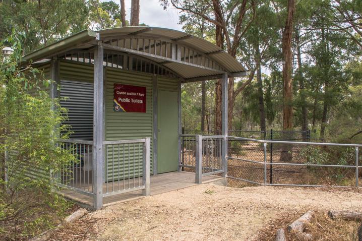
Toilets are located a short distance from the picnic shelter.
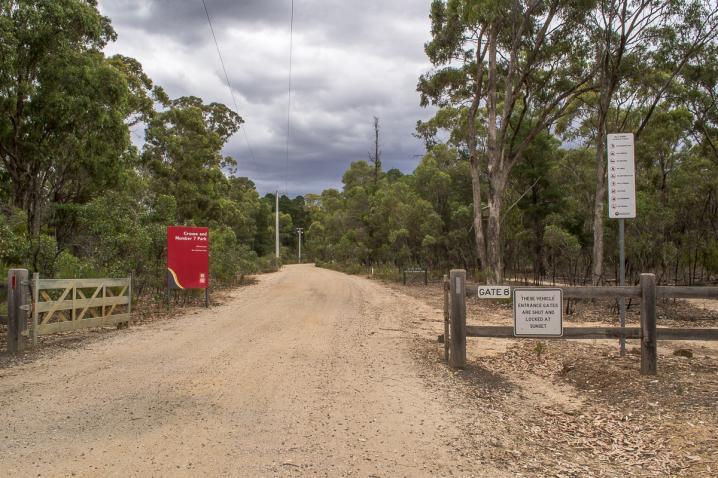
The entrance gates to the reserve are locked at sunset.
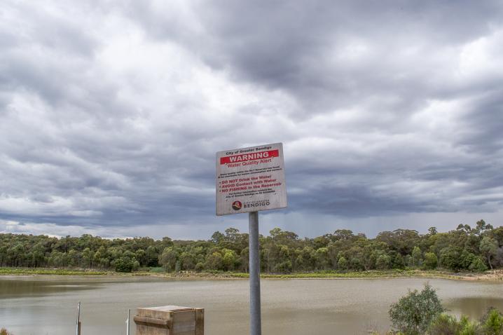
The following visitor restrictions are in place at No. 7 Reservoir and Park:
- No camping
- No swimming
- No boating
- No fishing
- No prospecting
- No fires
- No motorcycles
- No littering
- No dogs
Visitors can enjoy swimming, fishing and non-powered boating over at the nearby
Crusoe Reservoir.
SEE ALSO