


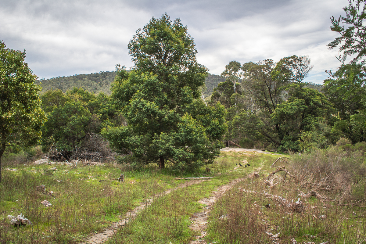
West Ridge Walking Track
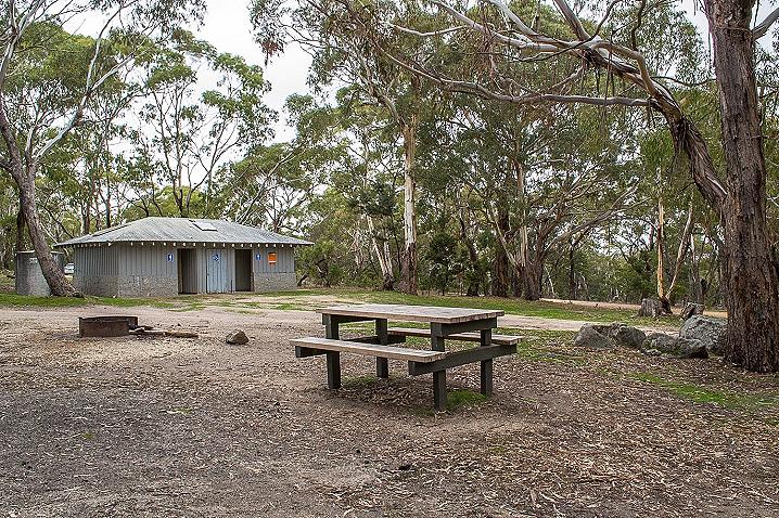
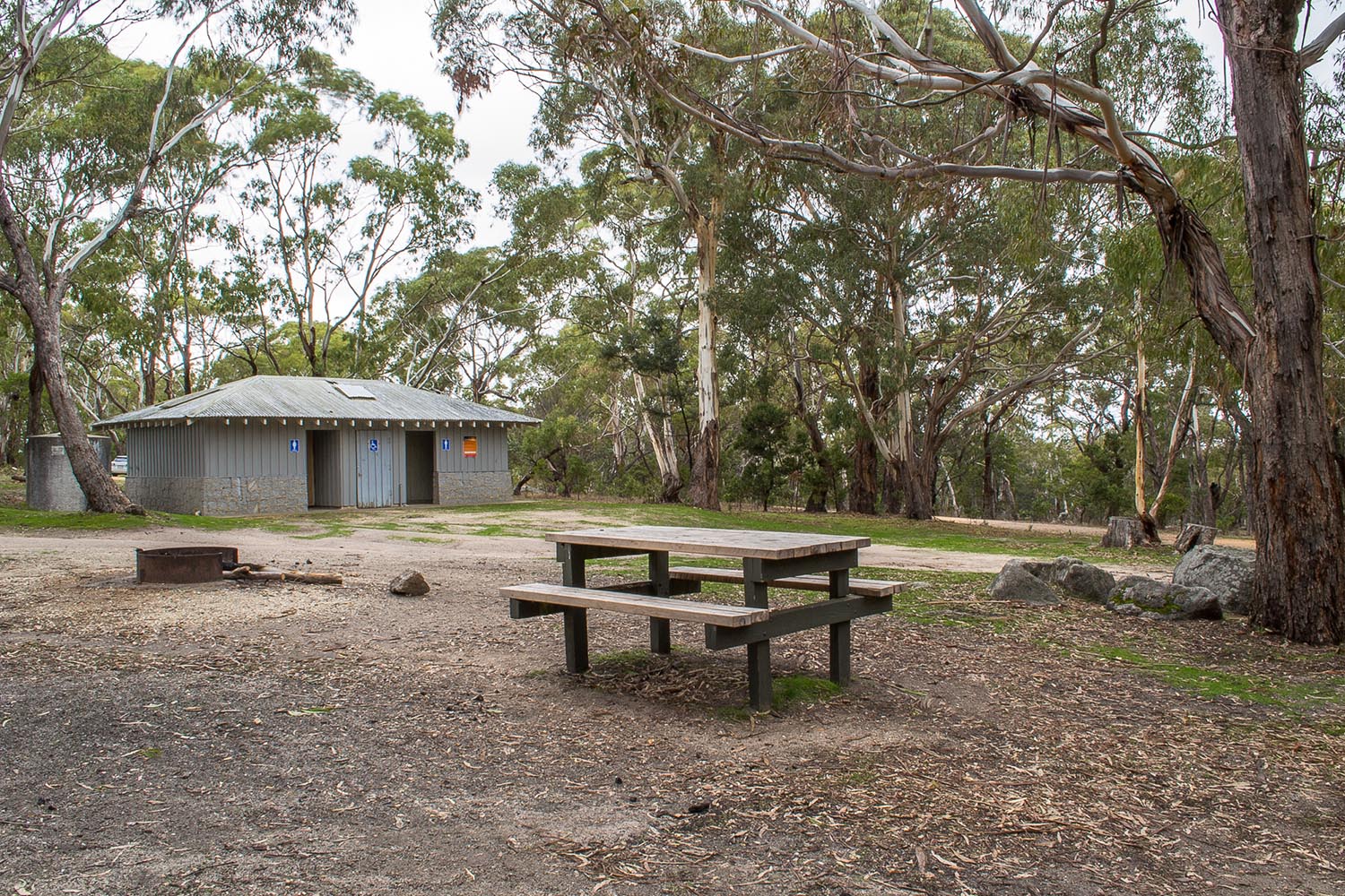
The West Ridge Walking Track begins at Lang's Lookout, passes Shepherd's Flat Lookout and Dog Rocks, before ending at the Leanganook Campground.
Lang's Lookout is the best starting point for this walk, as it is mostly downhill in this direction.
The walk can also be done in reverse, beginning at Leanganook Campground and ending at Lang's Lookout, but it will be an uphill walk in this case.
This walk is four kilometres each way and is of moderate difficulty.
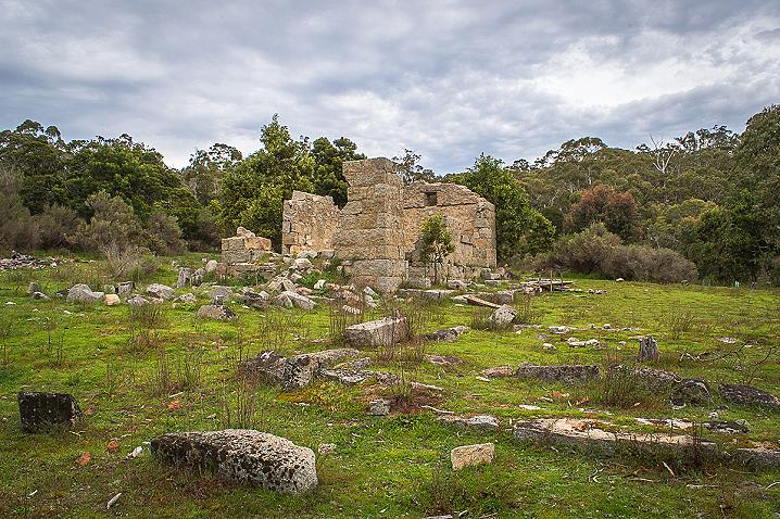
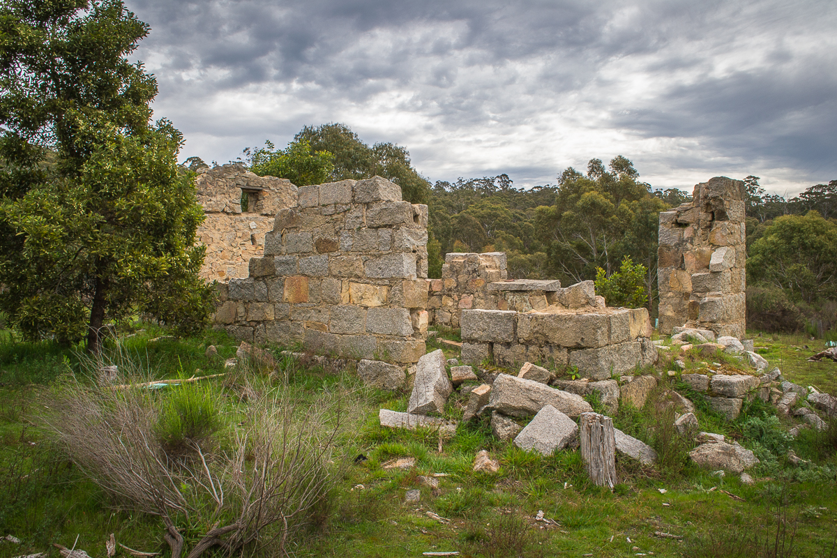
Mount Alexander Silk Worm Farm Ruins
Park off Joseph Young Drive and take the short walk (around 5 minutes) to the beautiful Mount Alexander Silk Worm Farm Ruins.
Goldfields Track
The epic Goldfields Track passes over Mount Alexander via the scenic 58 km Leanganook Track.
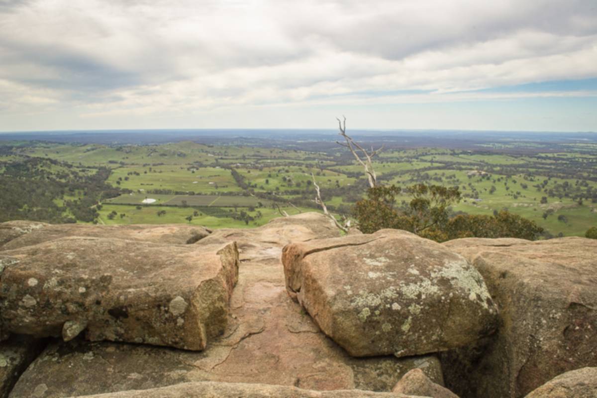
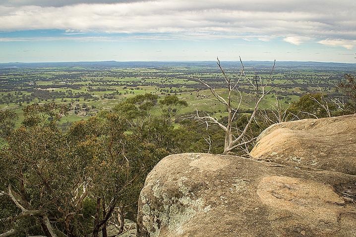
Lang's Lookout
This spectacular lookout is situated on the eastern side of Mount Alexander, and offers unrivalled views across the sweeping fields of Sutton Grange.
The lookout consists of a huge platform of granite, with massive boulders stacked impressively across the mountainside all around.
Lang's Lookout is accessed via a very short walking track from the parking area, which sits alongside the prominent communication towers.
It only takes a few moments to reach the lookout, which is down the slope to the right of the track.
Shepherd's Flat Lookout
Shepherd's Flat Lookout offers spectacular hillside views over Harcourt and the countryside beyond from high within the Mount Alexander Regional Park.
Shepherd's Flat is an easy 330 metre walk from the roadside parking area.
Dog Rocks
Dog Rocks is a stunning granite outcrop within the Mount Alexander Regional Park which offers spectacular hillside views over Harcourt and the countryside beyond.
Countless enormous boulders stand out strikingly from the western slopes of Mount Alexander, just a short walk from the parking area.
Spend some time exploring and appreciate the beautiful views from many different vantage points.
These rocks were given their name in 1846 by Lockhart Morton, manager of Sutton Grange station, after he observed many dingos frequenting the area.
Map of the Castlemaine Mining District which shows historical features in superb detail, including mining divisions, reefs, gullies, and gold workings. Mining Department, Melbourne, 1860. High quality, durable A1 print in a satin finish. Large, 594 x 891 mm. Go to online shop.
