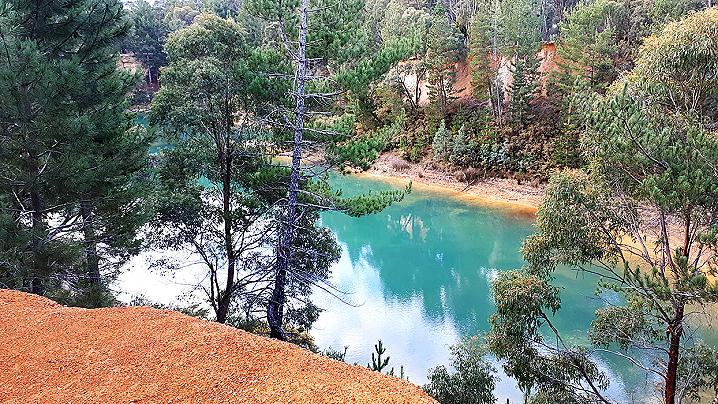
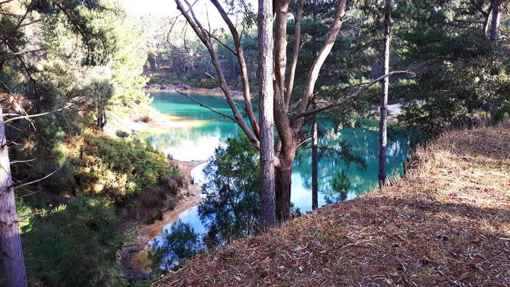
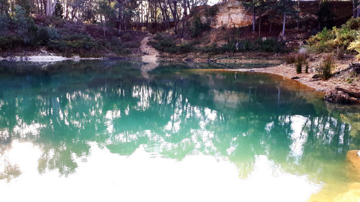
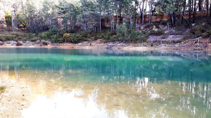
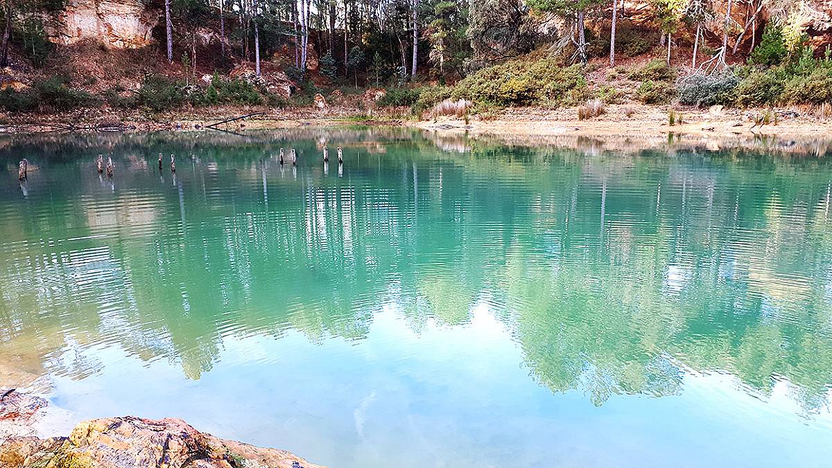
Blue Waters is a stunningly beautiful waterhole located within the Creswick Regional Park, right off the Melbourne Road and just minutes from the town centre.
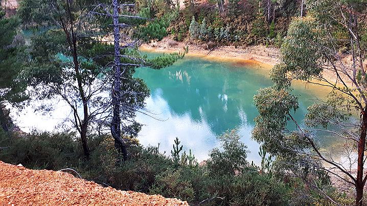
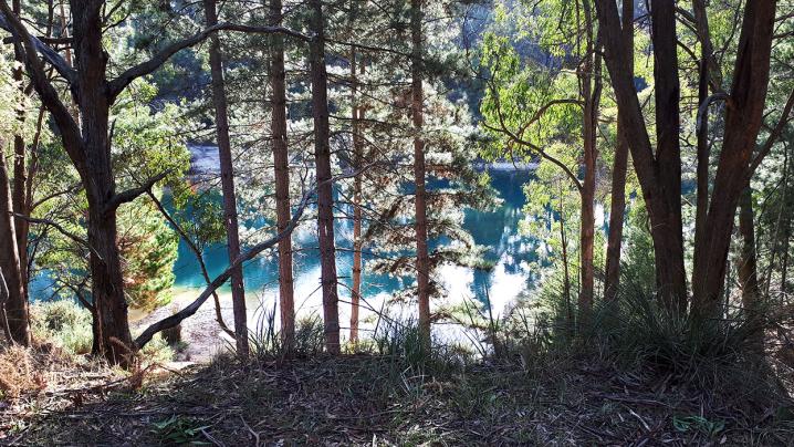
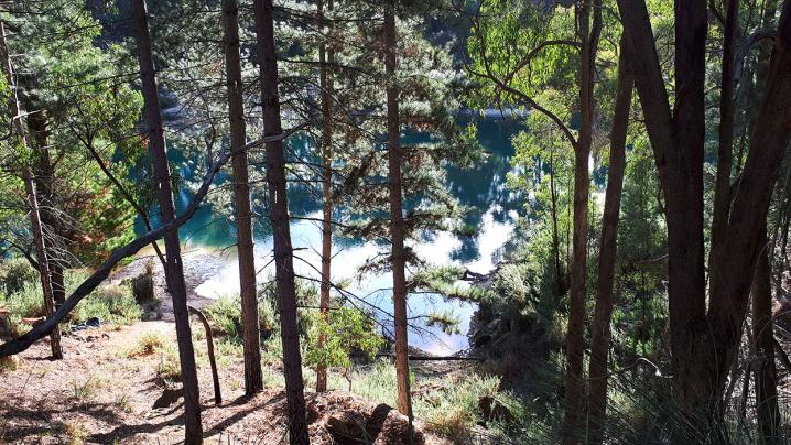
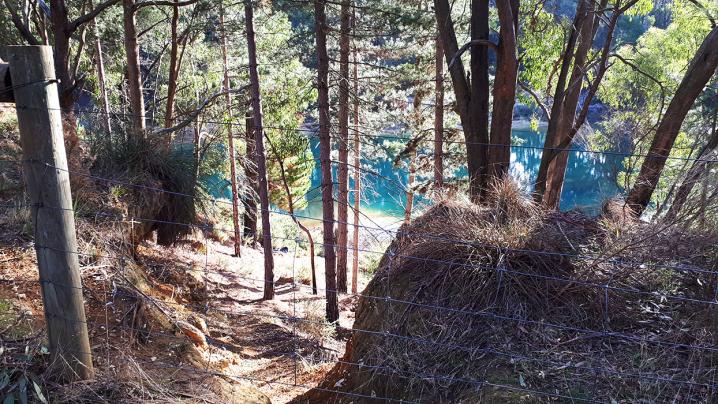
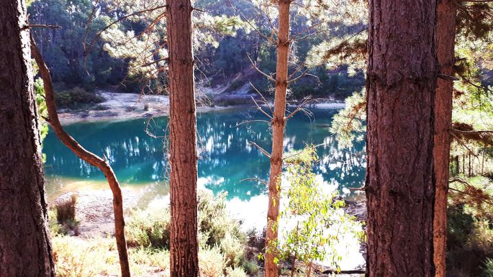
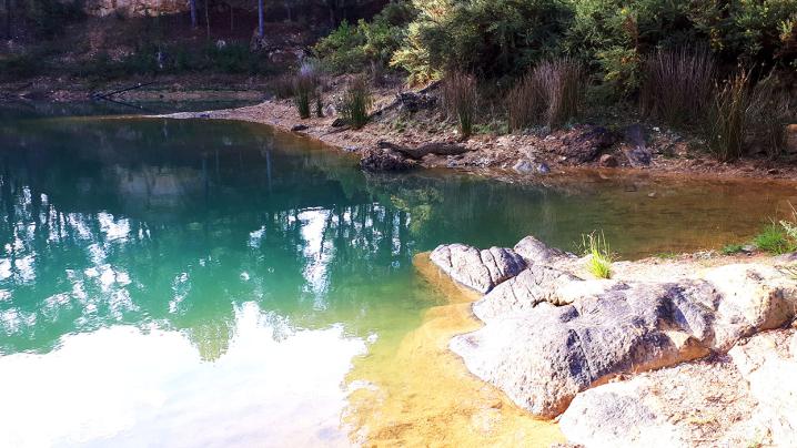
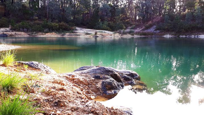
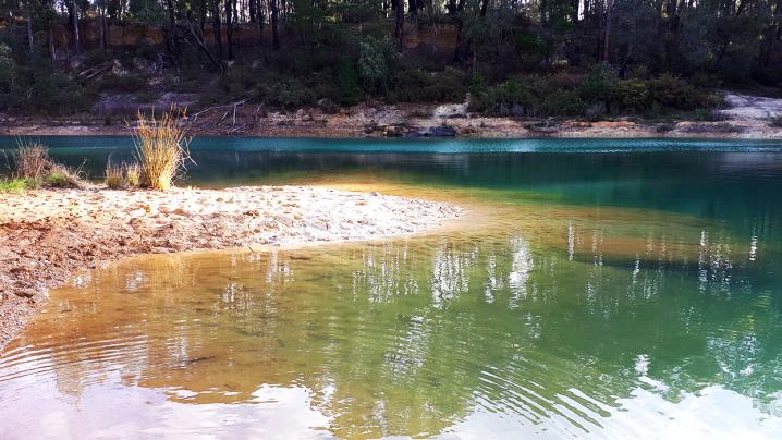
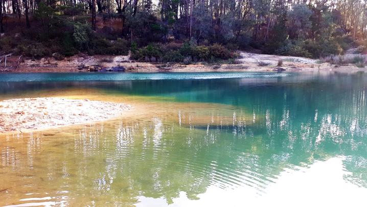
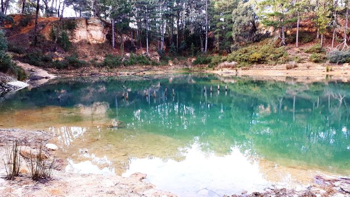
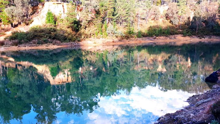
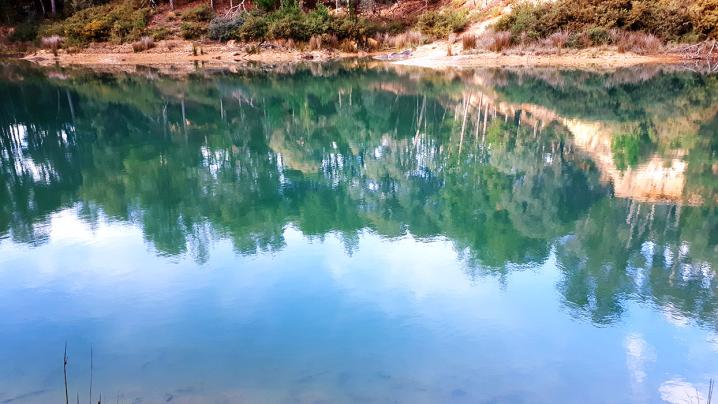
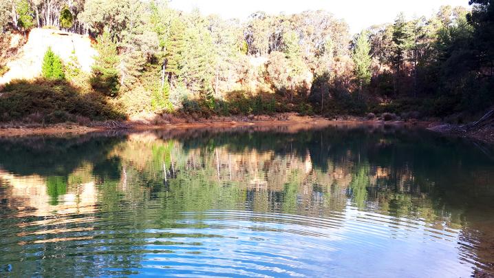
Surrounded by striking red cliffs, the iridescent water shines a brilliant turquoise when the sun hits it.
Once an open cut mine, Blue Waters is now a gorgeous scenic area fantastic for bushwalking, gold prospecting, four wheel driving and photography.
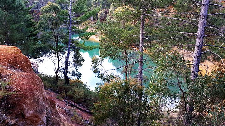
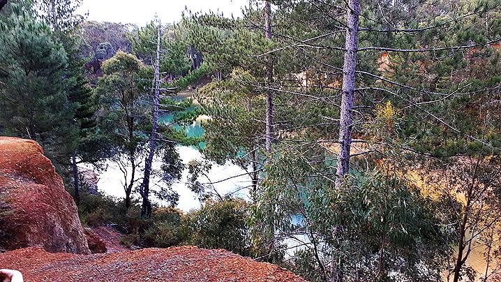
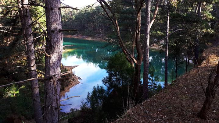
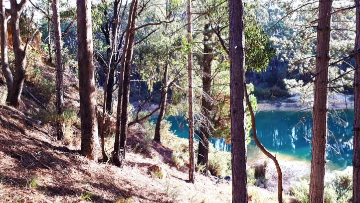
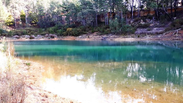
A dirt road travels around the waterhole and offers many spectacular views over the water, as well as several tracks down to the bottom.
This road makes an excellent walking track, with many spectacular viewing points and tracks down to the water along the way.
The road around Blue Waters has pot holes but should be passable by most cars in dry conditions up to about half way around.
Unless you are in a four wheel drive vehicle, you will want to park your car just before the road reaches a steep decline.
This steep part is the first of many sharp drops on the way down to the water. Four wheel drives will manage fine, but be careful not to get bogged in wet conditions.
CAN YOU SWIM AT BLUE WATERS?
Although swimming is not prohibited here, it is not recommended. There are reports of broken glass and other sharp objects, and concerns about water quality/contaminants.
Fortunately there are other fantastic swimming options in Creswick, so stop by Blue Waters for a scenic walk and then head to one of these great spots for a dip:
Map of Blue Waters
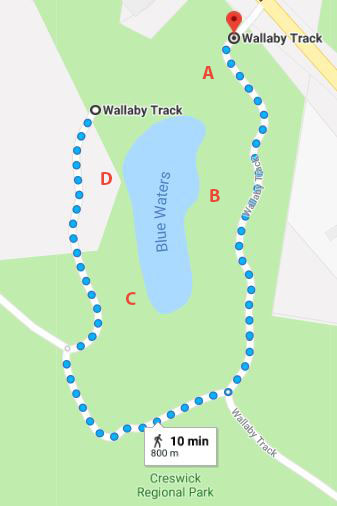
It is a short 800m walk around the waterhole from the first parking area (point A on the map) down to the water (point D on the map).
The last half of this track has some short, steep declines and will be slippery in wet weather.
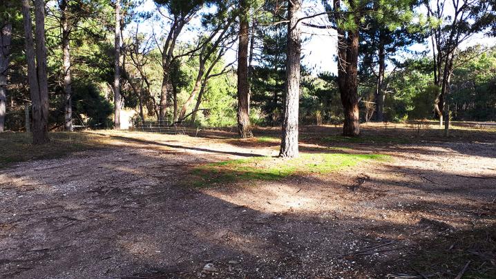
A: Parking area and lookout
B: Second lookout and way down to the water
C: Cliff lookout point (4wd only or short walk)
D: Road reaches the bottom down at the water (4wd only or short walk)
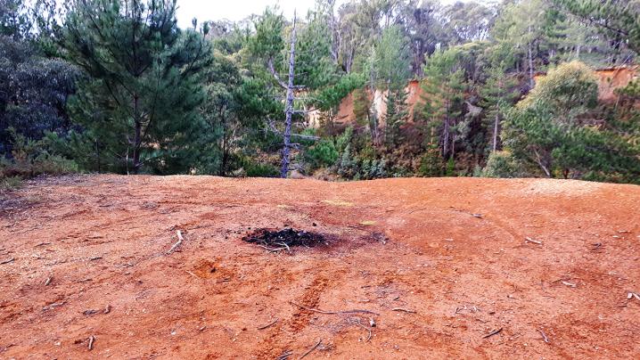
A: Parking area and lookout
This informal parking area sits at a lookout point where you will find nice views over the water through the trees.
This area is fenced for safety.
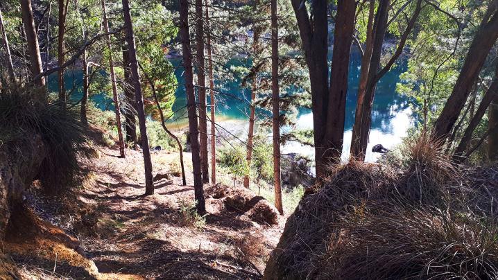
There is a track leading down to the right from here, but it is steep and slippery.
There are safer ways to get down to the water from the next lookout point (mentioned below) and by following the road all the way around to the bottom.
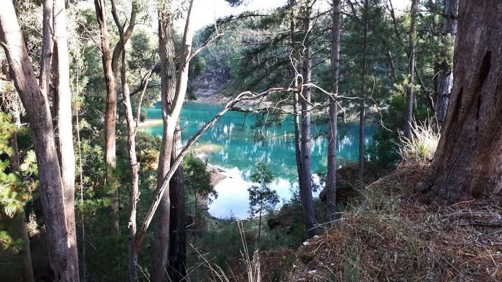
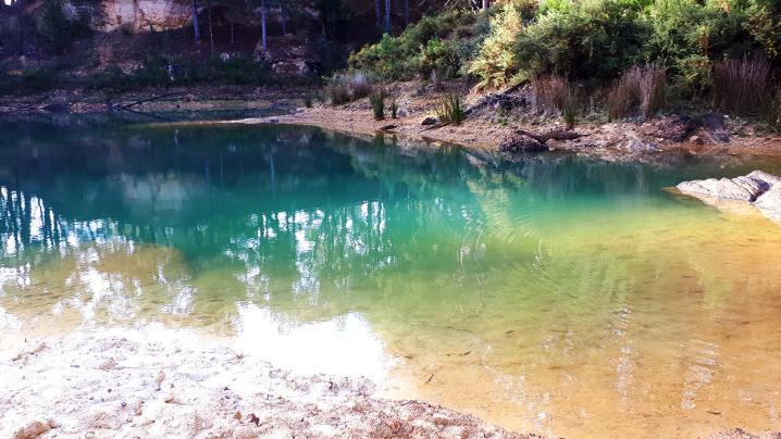
B: Second lookout and way down to the water
This lookout point is just a little further along Wallaby Track from the first lookout and parking area off Melbourne Road. The road up to this point has pot holes but should be passable by most cars in dry conditions.
A safety fence prevents accidental falls while appreciating the view through the trees over the water, and a steep but manageable little track drops sharply down towards the water.
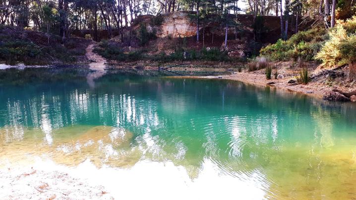
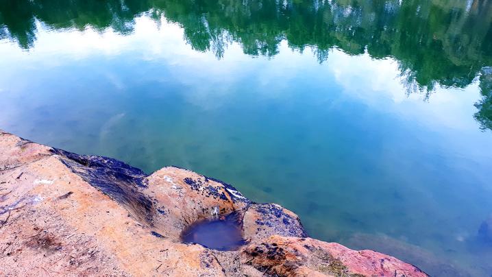
Be careful not to slip, particularly in wet weather. By following this track down, you will come to a spot with waterside rocks and views across the clear water, which shines beautifully blue in the sunlight.
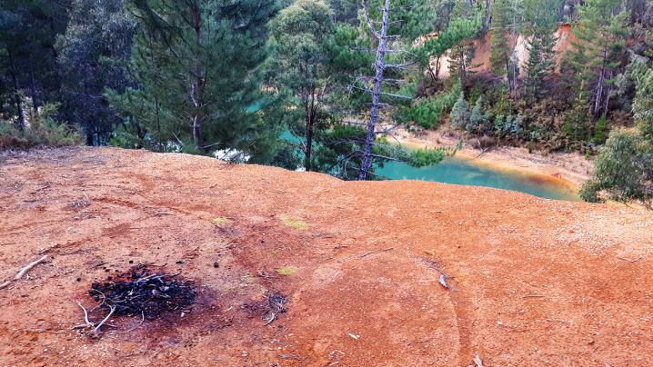
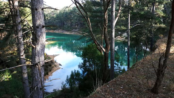
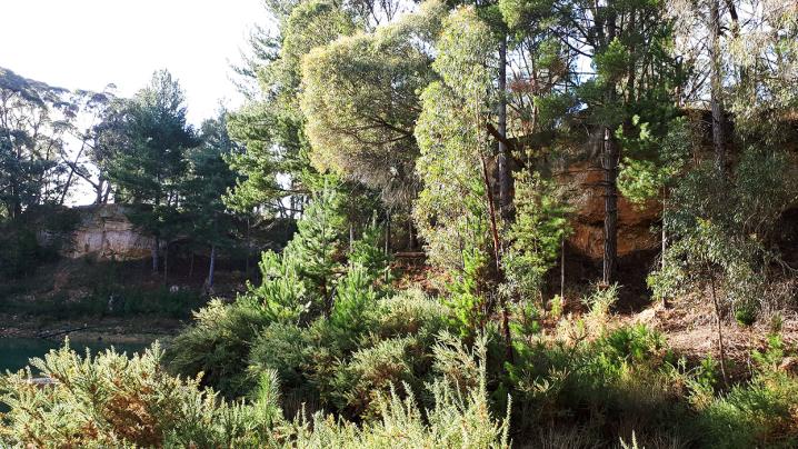
C: Cliff lookout
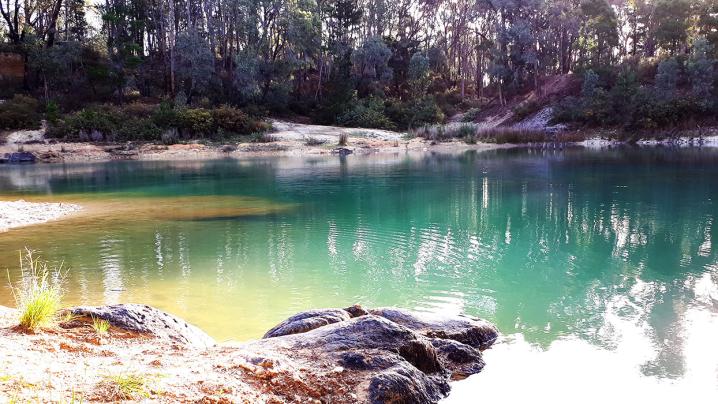
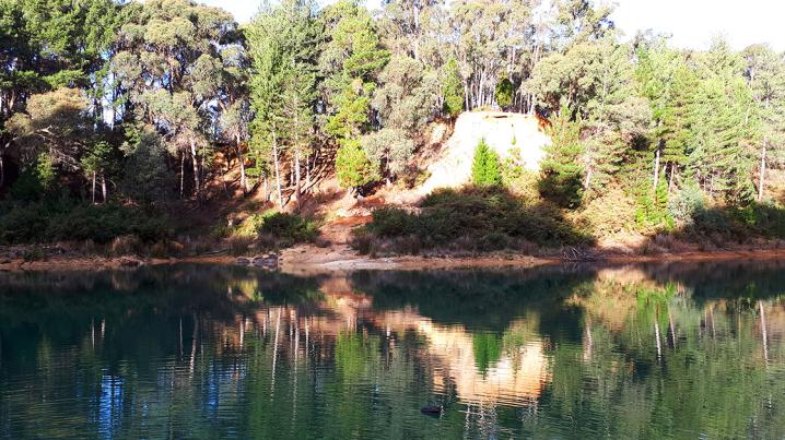
This lookout point sits atop a cliff with amazing views over the waterhole below.
It is located roughly opposite the first lookout and parking area off Melbourne Road.
By continuing down the track beyond this cliff lookout, you will soon reach the water at the bottom.
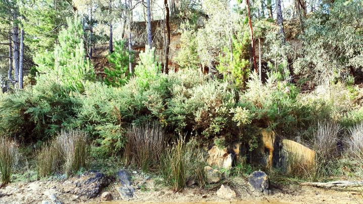
Watch out for mine shafts through the bush, and don't get too close to the edge of the cliff.
There is a spot right beside the lookout where the cliff will soon give way, as most the earth has fallen from underneath it.
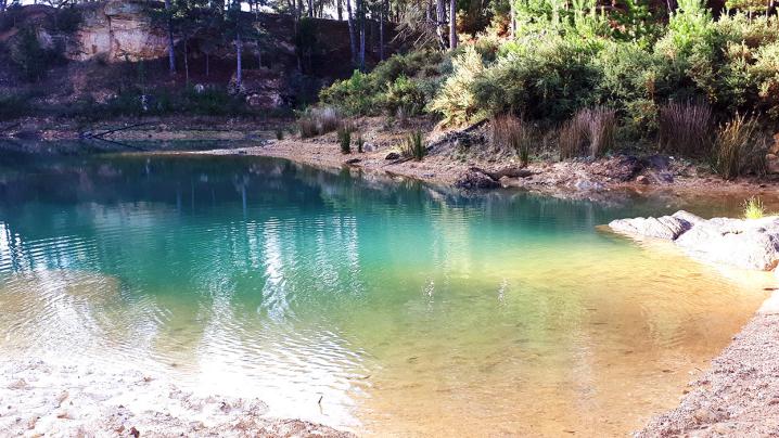
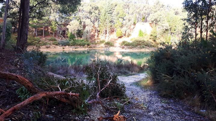
D: Road down to the bottom
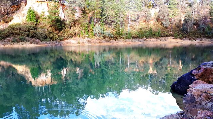
By following the dirt road all the way down around to the bottom (by foot or by 4wd), you reach this beautiful spot.
Here you will find excellent views over the water, the remains of an old pier, gorgeous rock formations and plenty of room to relax/explore.
If you look up to your left you will see the lookout and parking area off Melbourne Road, and up to your right is the beautiful cliff lookout.
Straight across the water is the spot which can be reached from the second lookout mentioned above.
GOLD PROSPECTING
MORE PLACES TO EXPLORE AROUND CRESWICK
GOLDEN NUGGET DISCOVERY TOURS
Experience the best Victoria has to offer with
Golden Nugget Discovery Tours, a genuine Ecotourism Operator offering a wide range of nature, heritage and adventure tours throughout the many unique regions of Western and Central Victoria. Guided tours are available across the Goldfields, Daylesford & Spa Country, Pyrenees Wine Region, Grampians National Park, and Great Ocean Road!