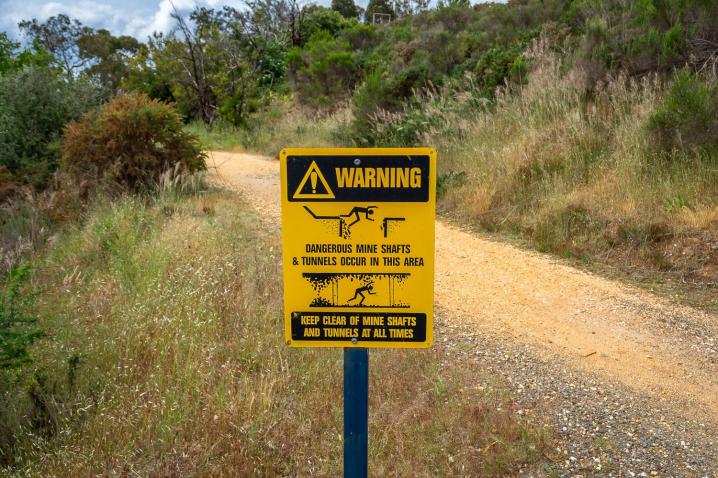
An open culvert (town drain) runs along the east side of Main Street. North of the battery site, the culvert is V shaped and constructed of concrete. South of the northern edge of the battery site, the culvert becomes rectangular in
shape and is stone-lined. The initial 13 m of the rectangular culvert is 7 ft deep and 4 ft wide (2.1 x 1.2 m) and
covered by aged timber slabs. South of the timber-covered section, the culvert is 2 ft (60 cm) shallower.
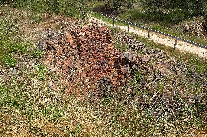
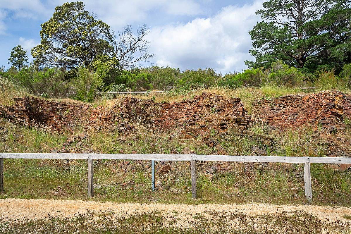
A bridge
crosses the culvert 27.4 m south of the timber-covered section. The remains of the bridge consist of three stone
abutments, spanned by three timber stringers. The bridge is 14 ft (4.3 m) wide and has a span of 34 ft (10.4 m).
South of the bridge, the depth of the culvert is reduced by a further 60 cm, to 0.9 m (3 ft).
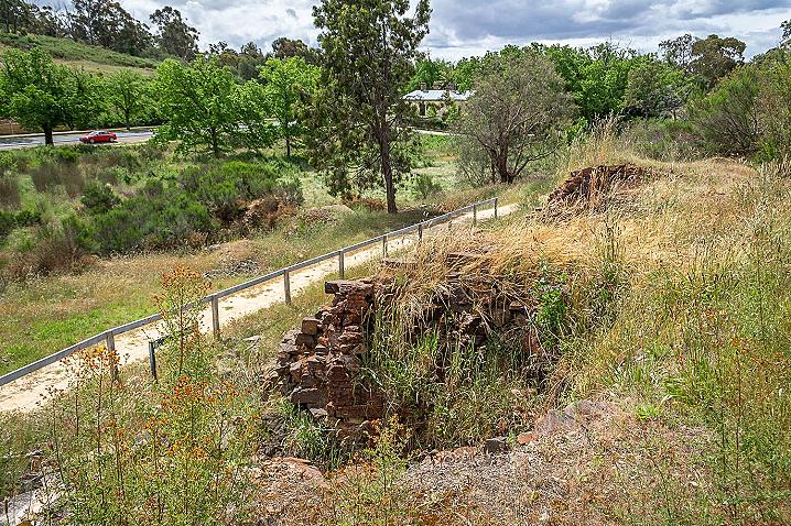
Abutting the north side of the bridge is the edge of a stone-walled dam, now empty of water. The dam wall is intact,
but for its eastern side. The dam measures approximately 25 x 16 m. North of the stone-walled dam is a larger dam.
This second dam is larger and has a earthen embankment.
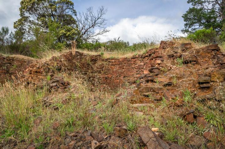
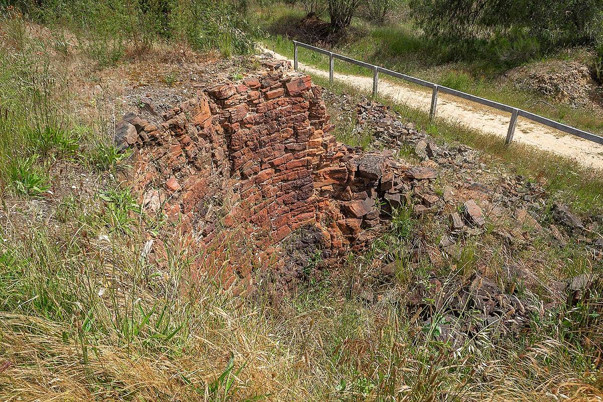
East of the dam are sections of stone walls of a battery house. The walls are 2 ft (60 cm) thick and the building's
overall dimensions would have been 72 x 44 ft (22 x 13 m). Only a section of the eastern wall stands above ground
level, to a height of 3 m. The building's interior is filled with rubble, but remains of two bedlogs are visible. Adjoining
the building's south end is a large stone engine bed, 24 x 4 ft (7.3 x 1.2 m) and 1 m high. One-inch diameter mounting
bolts protrude from the bed's upper face. The stonework is being disturbed by pepper tree roots and ivy.
Immediately south is a mound of stone rubble and handmade bricks, to the east of which is a small section of stone
wall--possibly the remains of a flue.
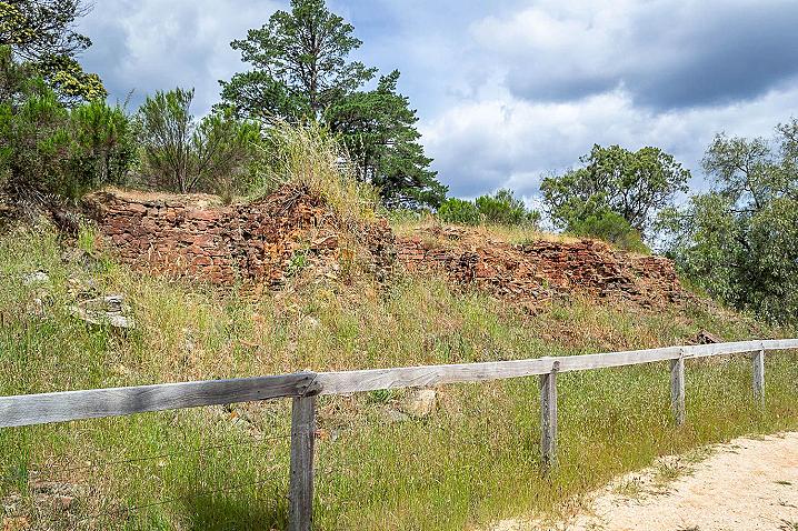
Uphill, 20 m from the battery house, are the remains of four exposed, and one largely buried, quartz roasting kilns.
Only the back wall, and the rear sections of the roasting bowls, survive. The roasting bowls are constructed of
hornsfel slabs and blocks which have been burnt a red colour. The bowls, set 2 m (6-1/2 ft) apart, have
characteristically straight backs and flared sides ... are over 2.5 m deep, and approx. 4.5 m (14-1/2 ft) wide at the top
and 2.5 m (8-1/4 ft) wide at the base.