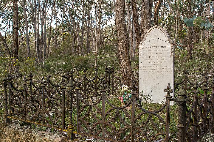
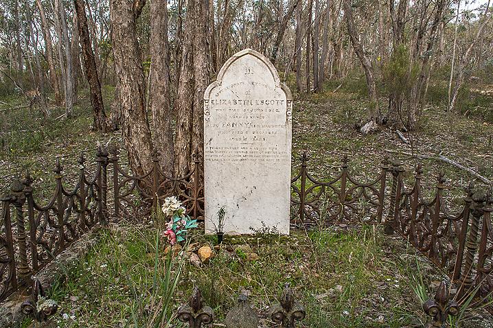
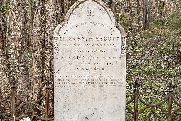
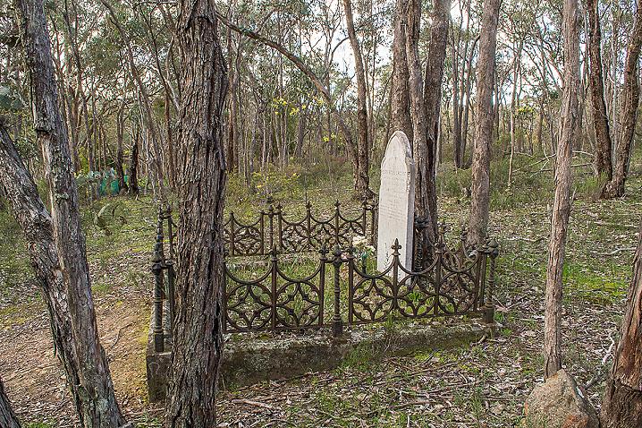
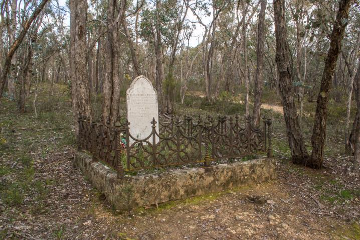
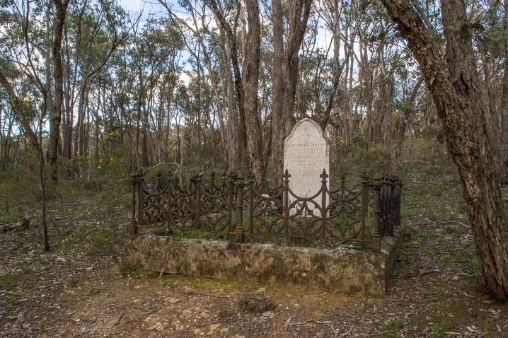
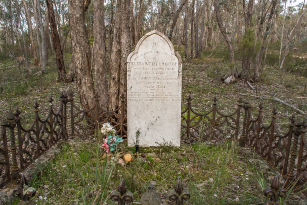
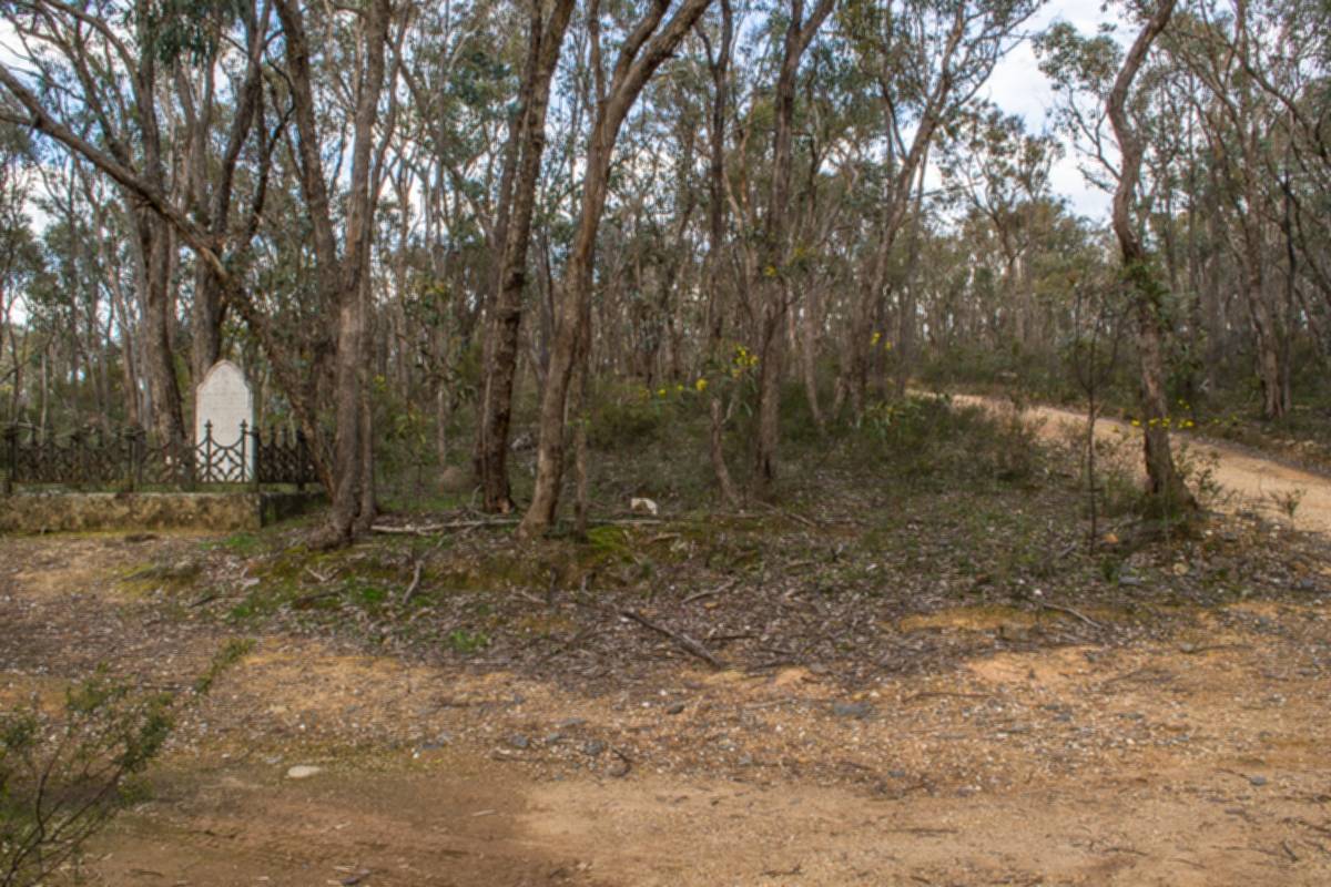
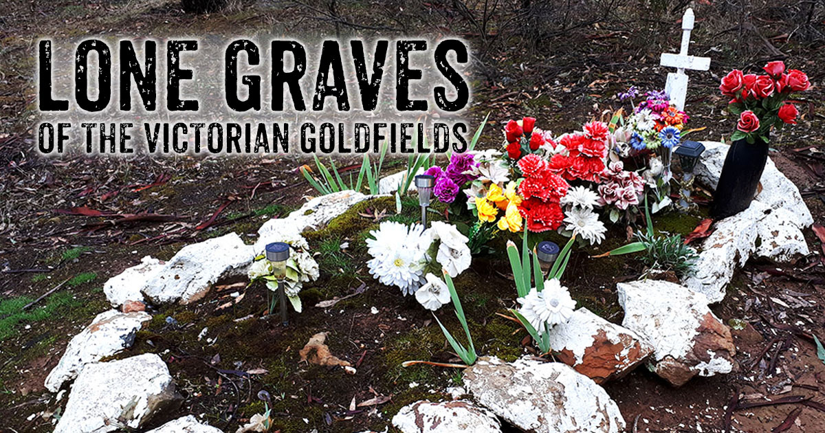
The lone grave of Elizabeth and Fanny Escott sits alongside Evanmore Track in Chewton. Surrounded by a wrought iron fence, the beautiful carved headstone displays the following text:
Affectionate remembrance of
ELIZABETH ESCOTT
Who died 15th June 1856
Aged 53 years
Also FANNY her daughter
Who died 6th Dec 1855
Aged 15 years
A tender mother and a loving wife.
Here sleeps in humble hope of better life.
By side of daughter, loved and cherished well.
We leave the judgment day the rest to tell.
After the death of her husband, Elizabeth Escott and seven of her eleven children emigrated to the goldfields from England in 1853. Within two years, two of her daughters had died, and Elizabeth herself died a year later.
Historic Audio Tour
Escott Grave is included in the "Gold Rush to Mount Alexander - The Diggings"
historic audio tour, a fantastic self guided journey through the region. You can listen to the audio for this particular stop along the tour
here.
How to get to Escott Grave
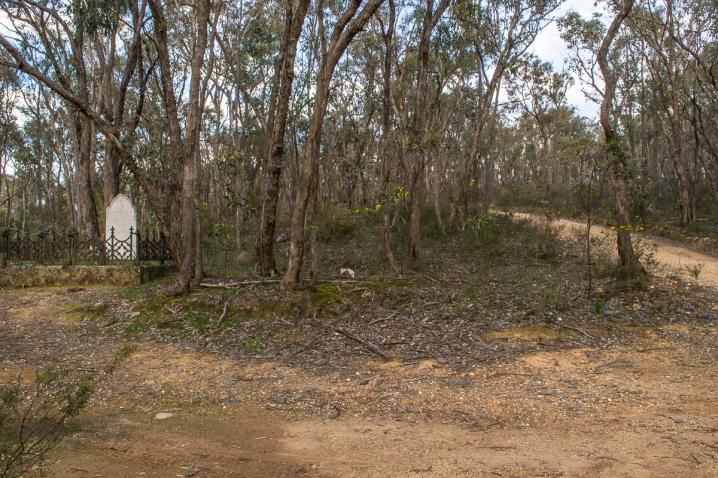
Located just four minutes from Chewton, Escott Grave is set a short way along Evenmore Track. Take the Vaughan-Chewton Road out of Chewton and turn left onto Evenmore Track.
The grave is located among the trees right beside the track, to the left if you're travelling up along Evenmore Track from the Vaughan-Chewton Road.
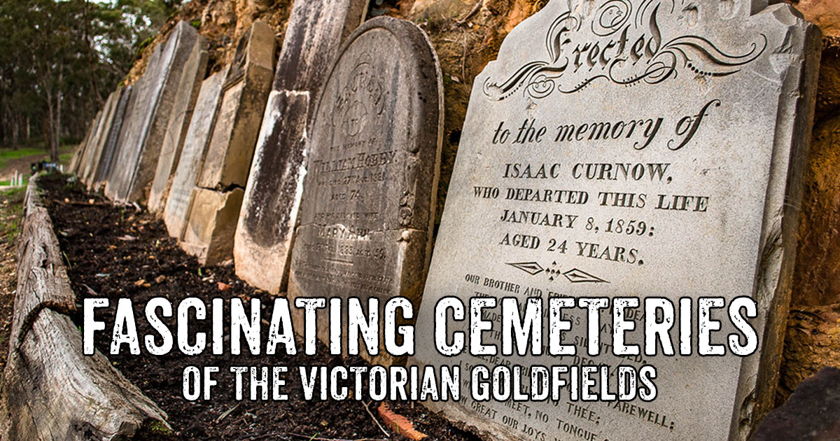
INTERESTING CEMETERIES IN THE VICTORIAN GOLDFIELDS
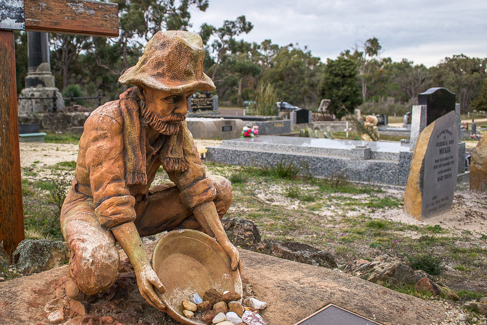
Along with the 19th century gold rush came the inevitable establishment of many cemeteries throughout the Victorian Goldfields. A wander through a historic cemetery within the goldfields can be quite captivating and educational. Some cemeteries are still in use today, others have been long abandoned.
HISTORICAL MAP OF THE CASTLEMAINE MINING DISTRICT, 1860
Map of the Castlemaine Mining District which shows historical features in superb detail, including mining divisions, reefs, gullies, and gold workings. Mining Department, Melbourne, 1860. High quality, durable A1 print in a satin finish. Large, 594 x 891 mm. Go to online shop.